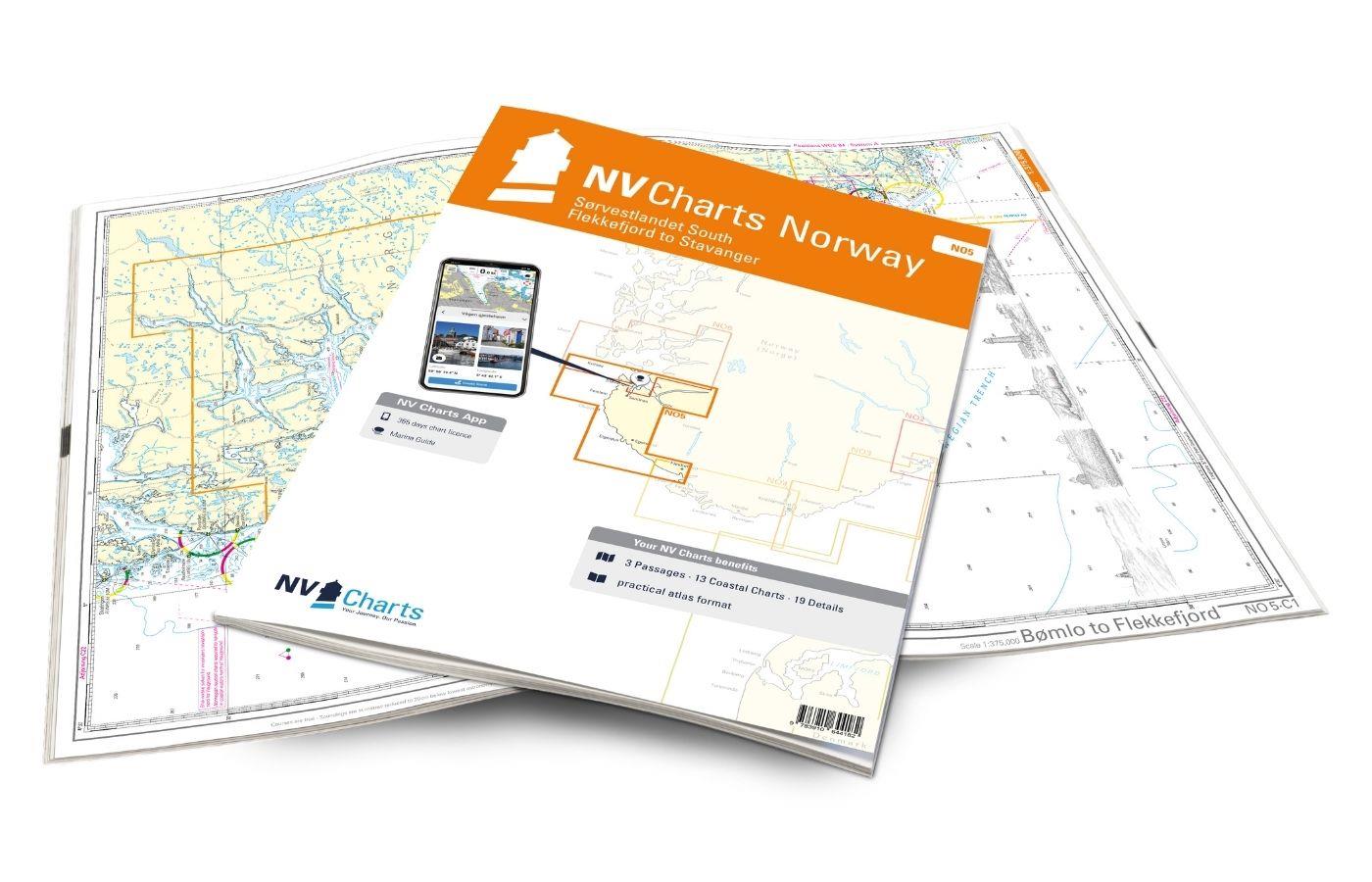
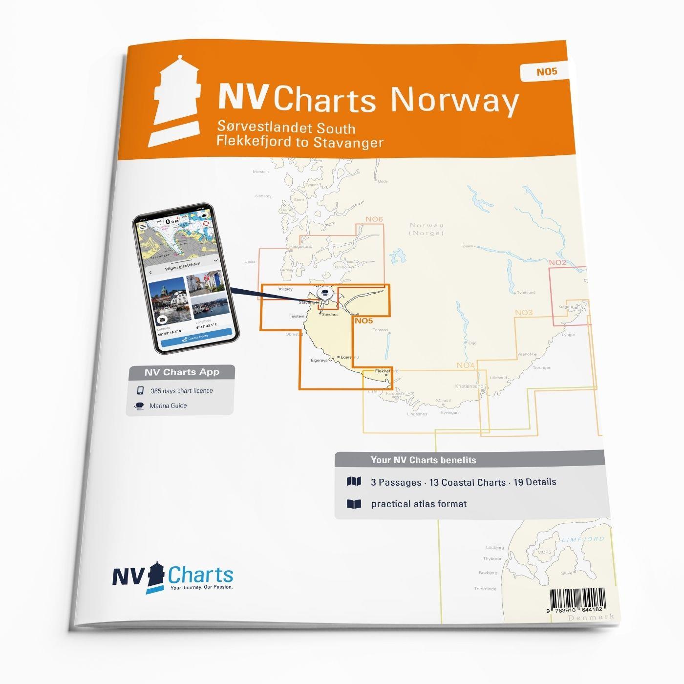
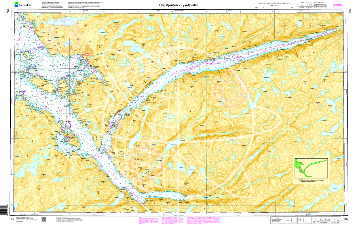
NV Charts Norway NO5 - Sørvestlandet Sør - Flekkefjord til Stavanger
Description
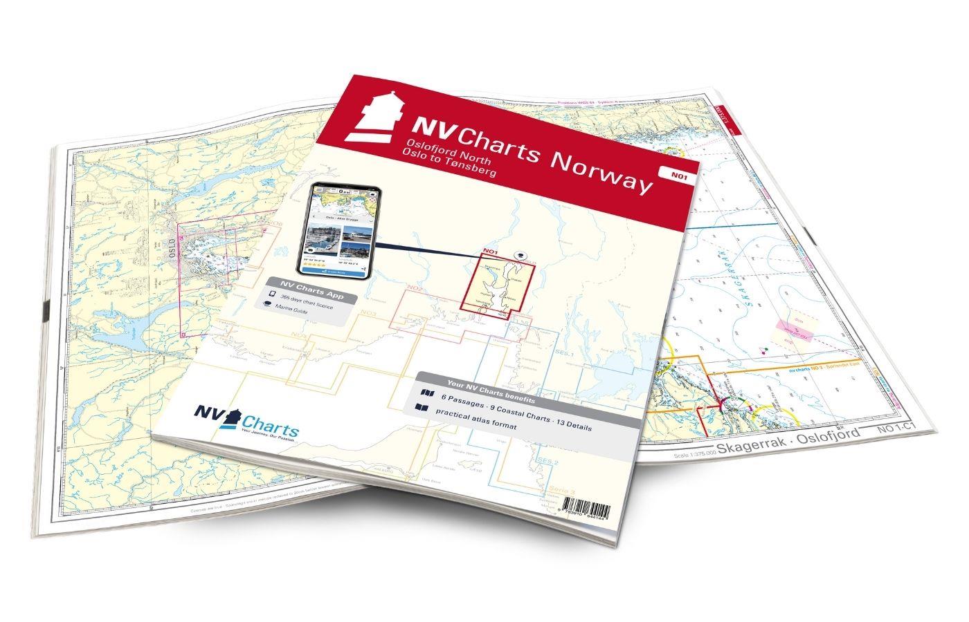
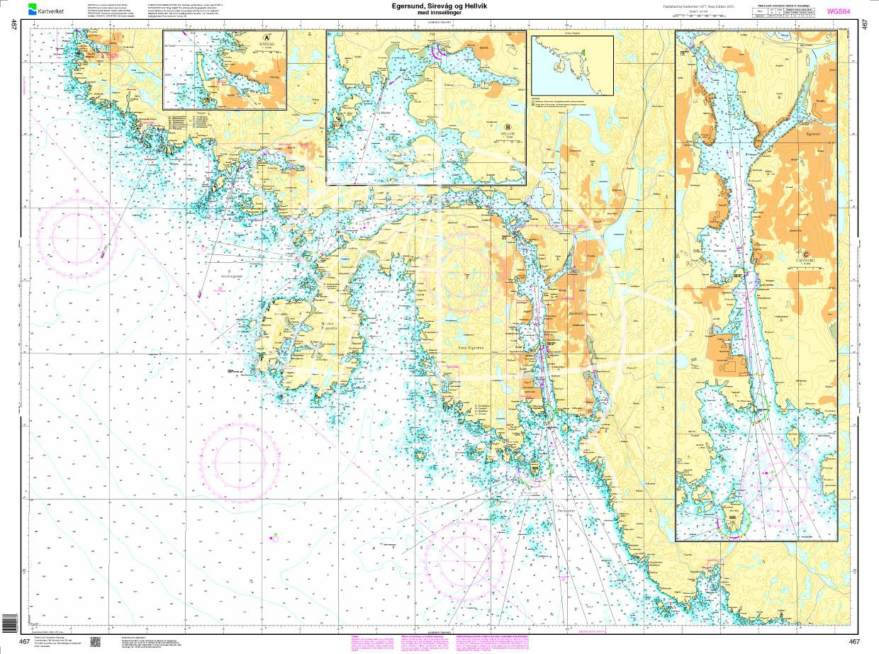
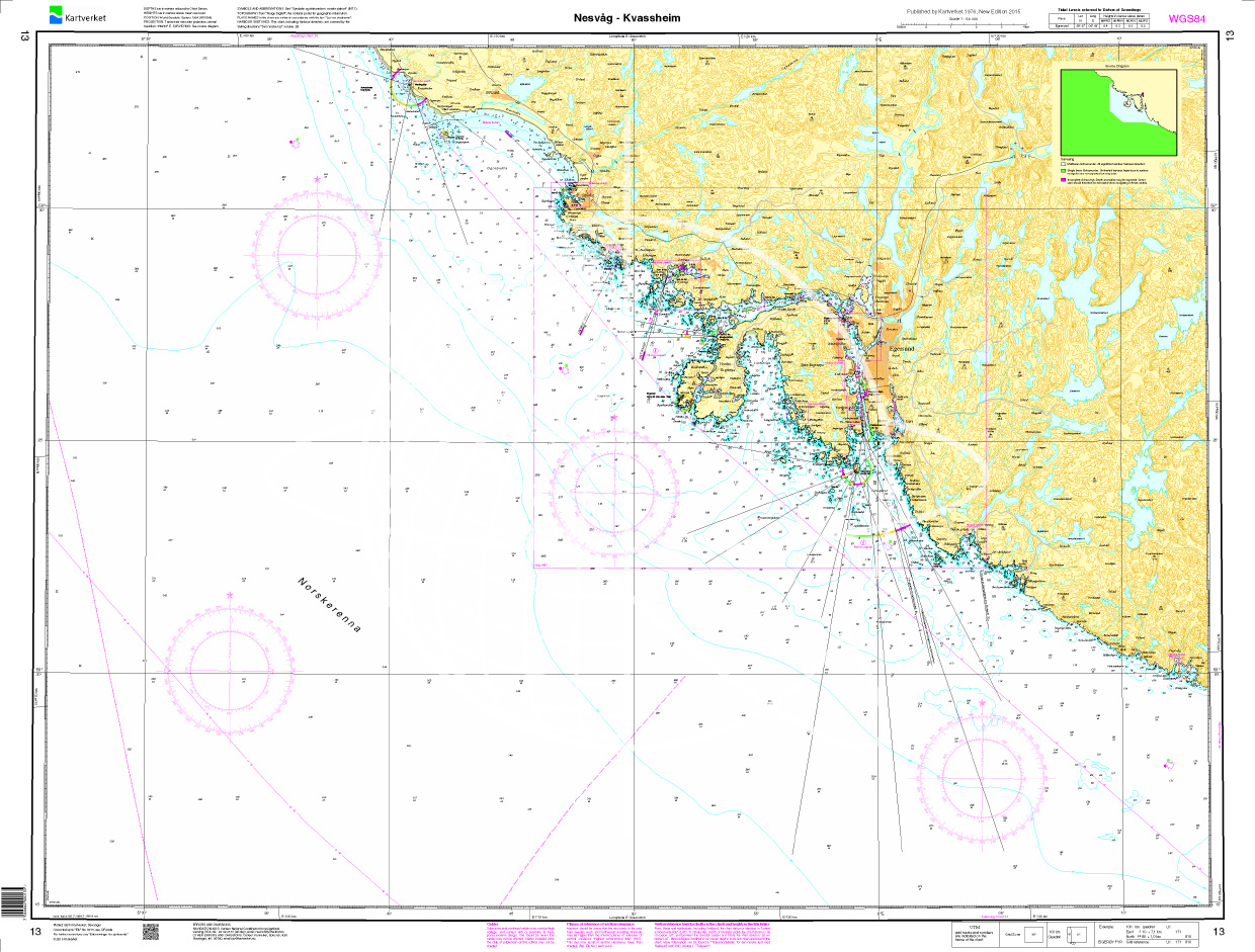
Your companion for the southwest coast of Norway: The NV Charts Norway NO5 . NV Charts for the Norwegian coast are based on data from the Norwegian Hydrographic Office and also include the harbor plans of the "Norske Los" as well as numerous, specially mapped details. The clear layout means that approaches, ports and anchorages can be found quickly, and important navigational details, which also appear in the NV Charts app, are pointed out. Tidal data is available in tables and also as a chart on paper. The chart series impresses with its optimal dimensions and balanced sheet sections.
Overview of regions
The NO5 is your perfect companion if your destination is the beautiful fjords of Norway. From Lista or Flekkefjord, you travel along the rougher coast to Stavanger. There, the Lysefjord is ideal for a detour and a hike up the Preikestolen.
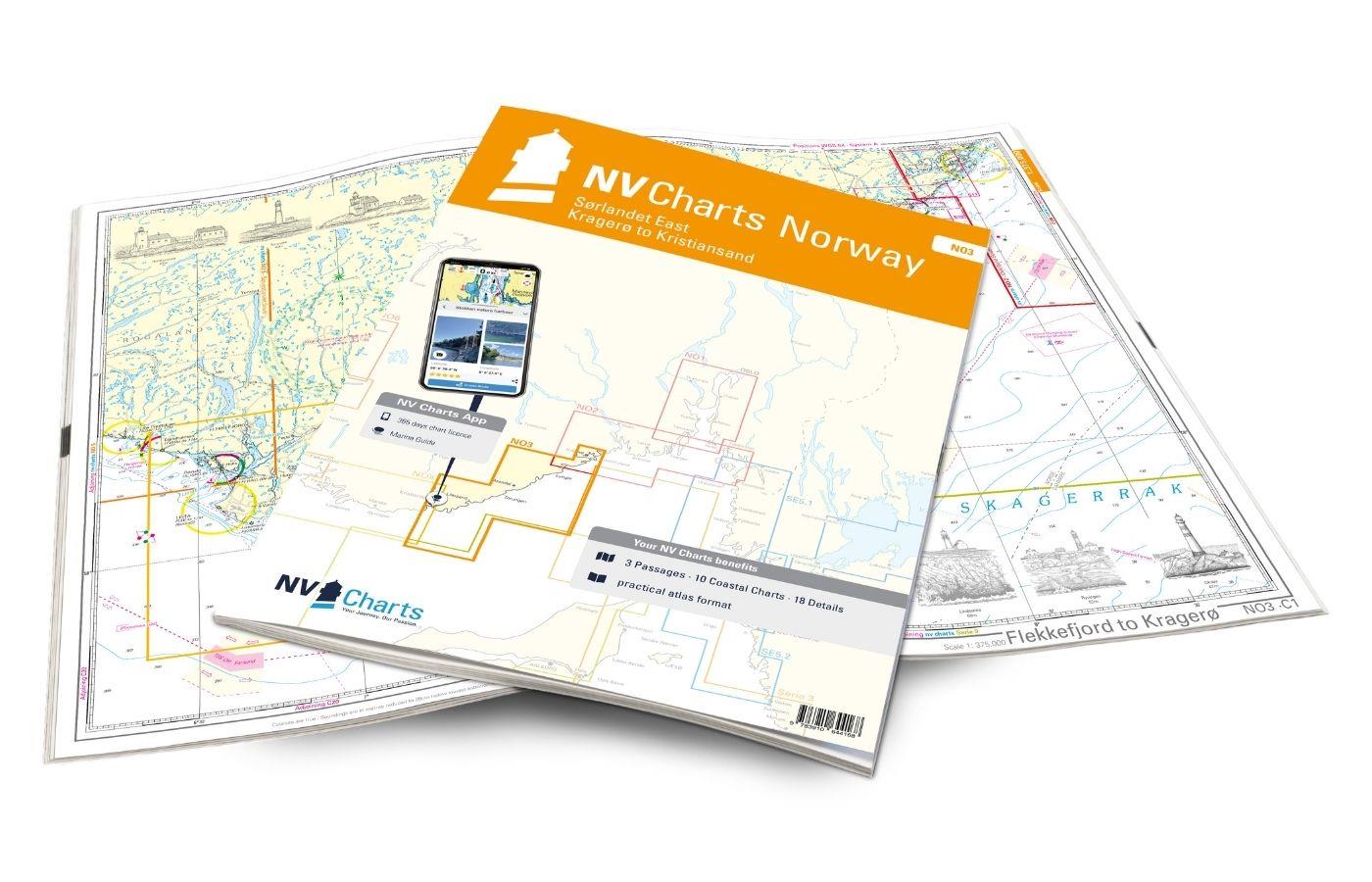
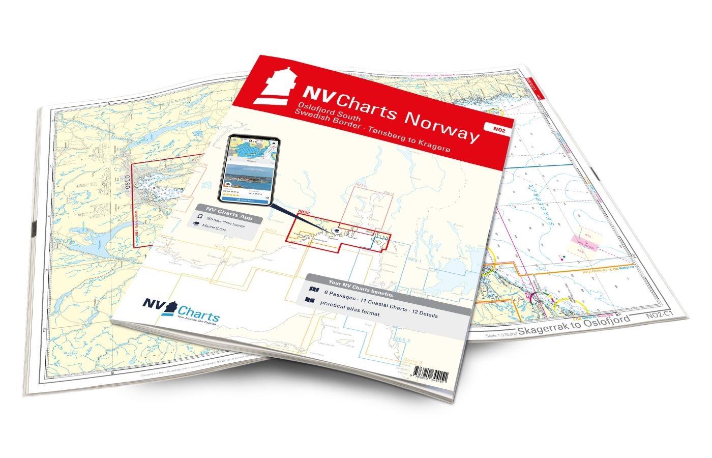
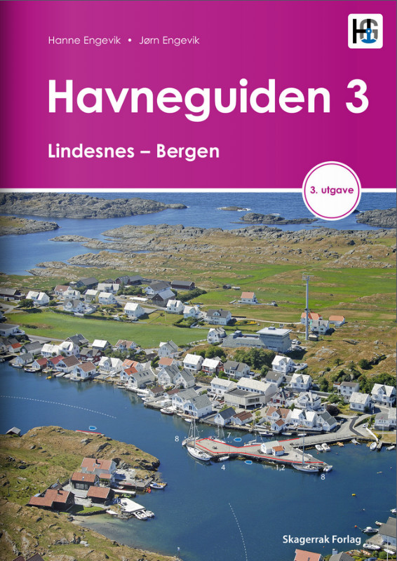
Our recommendation for this map set is the series NV Charts Norway NO4 and the NO6 which round off the Norway package from nv charts on the west coast. Of course, the Norwegian-made charts are also a must. Havneguiden 2 and 3 which shine with their wonderful aerial photos and great tips. If you are planning to travel the west coast north of Bergen, we will be happy to help you with further planning with our print-on-demand charts.
This map set includes
- 3 Passage charts
- 13 territory maps
- 19 detailed maps
- Digital charts for navigation program and NV Charts App 356-day license
- Navigation instructions in English and Norwegian
- Port plans paper & digital
- Meets all legal requirements for up-to-date paper charts on board
All advantages at a glance
- NV Atlas chart format: Practical, handy atlas format, opened in A2, closed in A3 format, flat staple binding in the middle - makes it easy to work with the course triangle
- NV Charts app: including access code to the digital nautical charts of the purchased area in the NV Charts app with 365-day license, for offline navigation with the app on iOS, Android, PC, Mac or in the web browser, comprehensive port manual
- Extremely detailed: Nautical charts based on data from official surveys, particularly detailed outside the main fairways
- Optimized for recreational boating
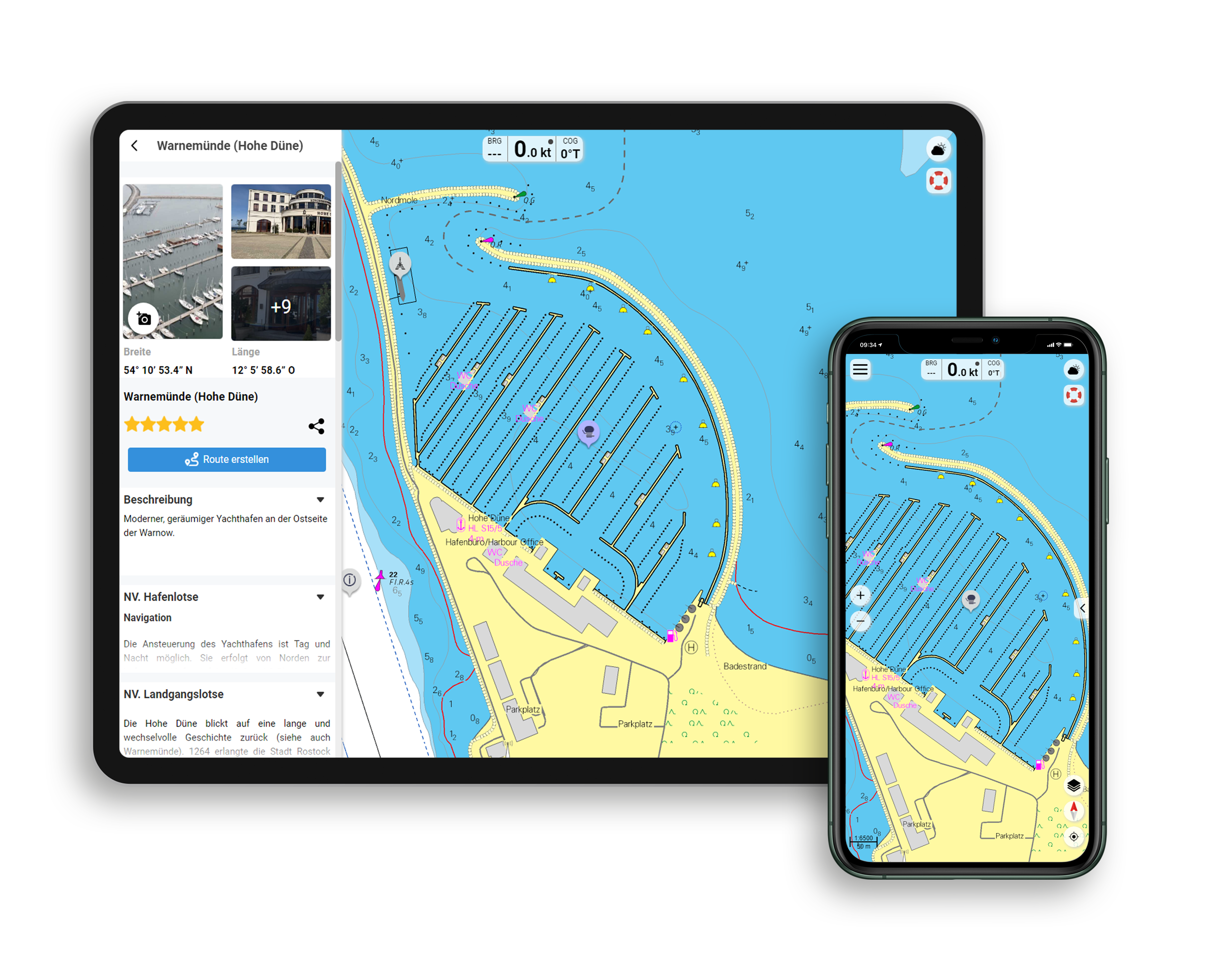
Functions of the NV Charts app
- Flexible autorouting
- Satellite overlay
- Augmented reality
- VMG (Velocity Made Good)
- BoatView harbor guide
- Track recording
- AIS connection and much more.
Charts and measures included
Passage charts
C1 Bømlo to Flekkefjord 1: 375,000 , C21 Norway - Oslo to Mo-i-Rana 1: 1,750,000 , C22 Norway - Mo-i-Rana to Kirkenes 1: 1,750,000 , C23 North Atlantic Ocean 1: 14,500,000
District maps
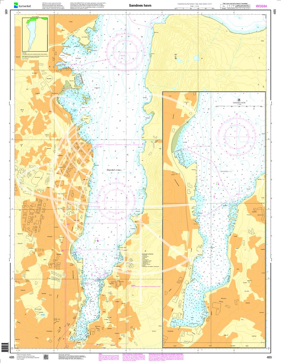
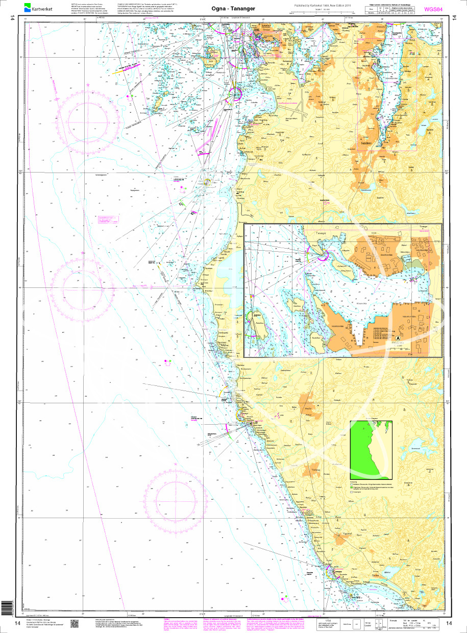
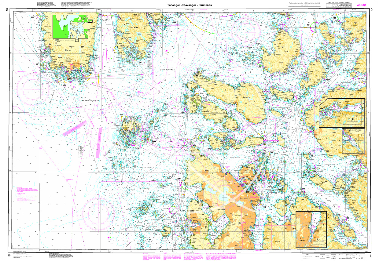
C2 Bragen to Kolnesholmane - Håsteinsfjord 1: 40,000 , C3 Kolnesholmane to Haugatangen 1: 40,000 , C4 Haugatangen to Kvassheim 1: 40,000 , C5 Kvassheim to Eigerøya 1: 40,000 , C6 Eigerøya to Vatlandsviga 1: 40,000 , C7 Vatlandsviga to Egdeholmen - Rekefjord 1: 40,000 , C8 Egdeholmen to Flekkefjord 1: 40,000 , C9 Håsteinsfjord to Stavanger 1: 40,000 , C10 Stavanger - Horgefjord 1: 40,000 , C11 Idsefjord - Høgsfjord - Lysefjord 1: 40,000 , C12A+B Lysefjord 1: 40,000 , C12C Gandsfjord 1: 40,000 , C12D Hafrsfjord 1: 40,000
Detailed maps
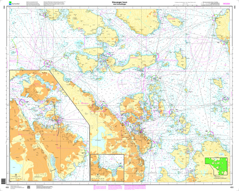
C13 Kvitsøy - Håsteinsfjord 1: 20,000 , C14A Kvitsøy-Ystabøhamn 1: 10,000 , C14B Løyningsøy 1: 5,000 , C14C Hellvik 1: 10,000 , C14D Vatnamoholman 1: 5,000 , C15 Åmøyfjorden - Stavanger 1: 25,000 , C16 Stavanger 1: 9,000 , C17 Egersund Approach 1: 20,000 , C18 Listafjord 1: 20,000 , C19 Flekkefjord 1: 20,000 , C20A Sirevåg 1: 10,000 , C20B Madlandshamna 1: 5,000 , C20C Sogndalsstranda 1: 5,000 , C20D Ølberg 1: 5,000 , C20E Obrestadhamna 1: 5,000 , C20F Tananger 1: 10,000 , C20G Kvassheim 1: 5,000 , C20H Rott 1: 5,000 , C20J Rasvåg 1: 5,000
| App License: | NV Charts App |
|---|---|
| Format: | NV Atlas, Gebundener Kartensatz |
| Size: | Atlas |
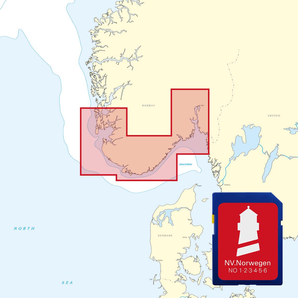
With the help of our area preview, you can get an impression of which geographical region the product deals with or which areas a nautical chart covers.
Related products to this item
Products near this article
Reviews
Login

