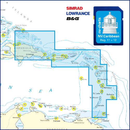
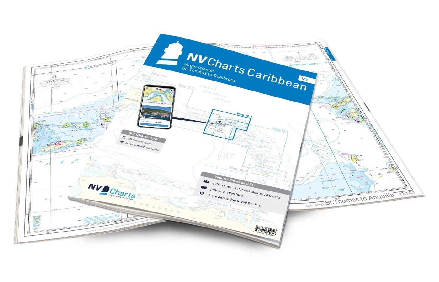
NV Karibik & Bermuda Plottersekarte
Description
Maps & Port plans of the series 11.1 12.1 12.2 12.3 16.1
The probably most detailed nautical charts for the waters of the Caribbean. The NV Verlag has been producing charts for these waters for many years and has particularly accurate data so the charts of nv charts for this region are also used by US authorities for example. The practical NV Caribbean atlases can be used as a supplement.
The charts are supplied on "adapter chips" so the right format is included regardless of whether your chartplotter uses SD or Micro SD cards.
As the charts are not readable on all devices from Simrad Lowrance and B&G please do not hesitate to contact us if you have any questions.
The SD card or Micro SD contains the digital NV nautical charts of the following series:
- nv-charts Region 11.1 Puerto Rico - Dominican Republic - Spanish Virgin Islands
- nv-charts Region 12.1 Virgin Islands - St. Thomas to Sombrero
- nv-charts Region 12.2 Leeward Islands - Anguilla to Dominica
- nv-charts Region 12.3 Windward Islands - Martinique to Grenada
- nv-charts Atlas Region 16.1 Bermuda Islands Passages Us Eastcoast Caribbean Europe
The nv.plotter charts are stored on SD card and can be used flexibly on the devices according to the plug & play principle.
The chart image is identical to that of the well-known NV.paper charts. Due to the raster chart display plotters with a screen size of 7 inches or more are recommended.
Features:
Lighthouse sectors are precisely displayed main fairways marked with minimum depths red 2-metre line well-presented and editorially prepared content sheet cut-free chart display.
Please note that NV plotter chips are currently only compatible with Navico Group (Simrad Lowrance B&G) instruments.
- Lowrance (All HDS series from Gen.1. & 2 & Elite TI)
- Simrad (NSE NSS NSO and up)
- B&G (All units Zeus / Vulcan series and up)
Digital plotter charts are an aid only and do not replace an actual paper chart.
| Region: | Caribbean |
|---|
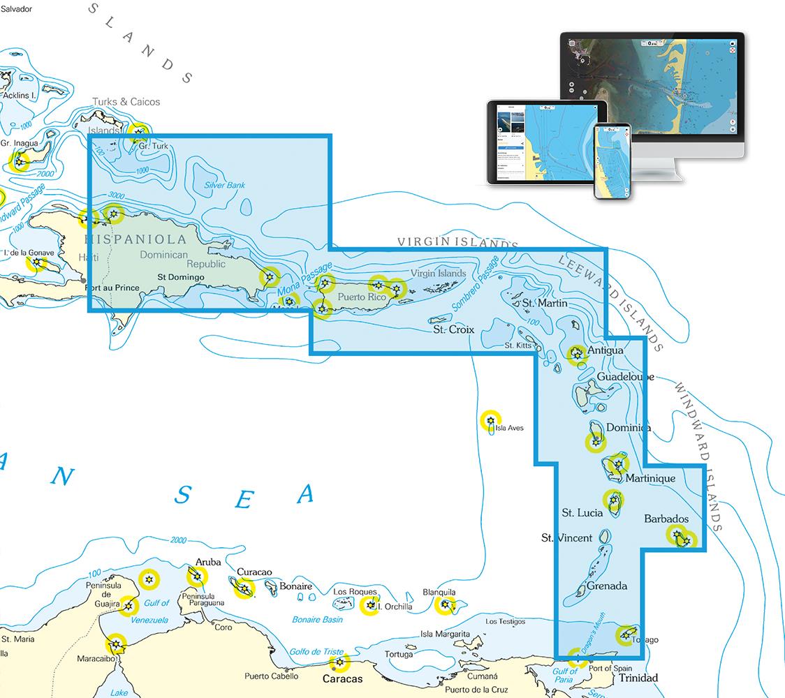
With the help of our area preview, you can get an impression of which geographical region the product deals with or which areas a nautical chart covers.
Products near this article
Reviews
Login

