NV Kroatien Plotterseekarten

Edition: 2024
Edition Date: 29.04.2024

€99.99*


Product number: 9860

Description

Maps & Port plans of the HR 1 and HR series

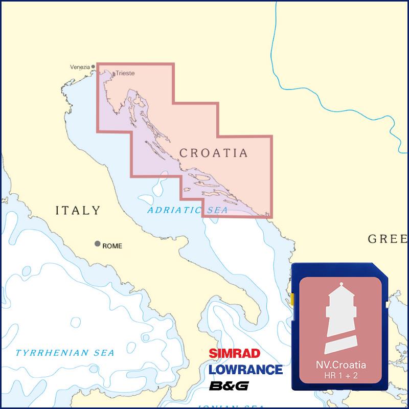
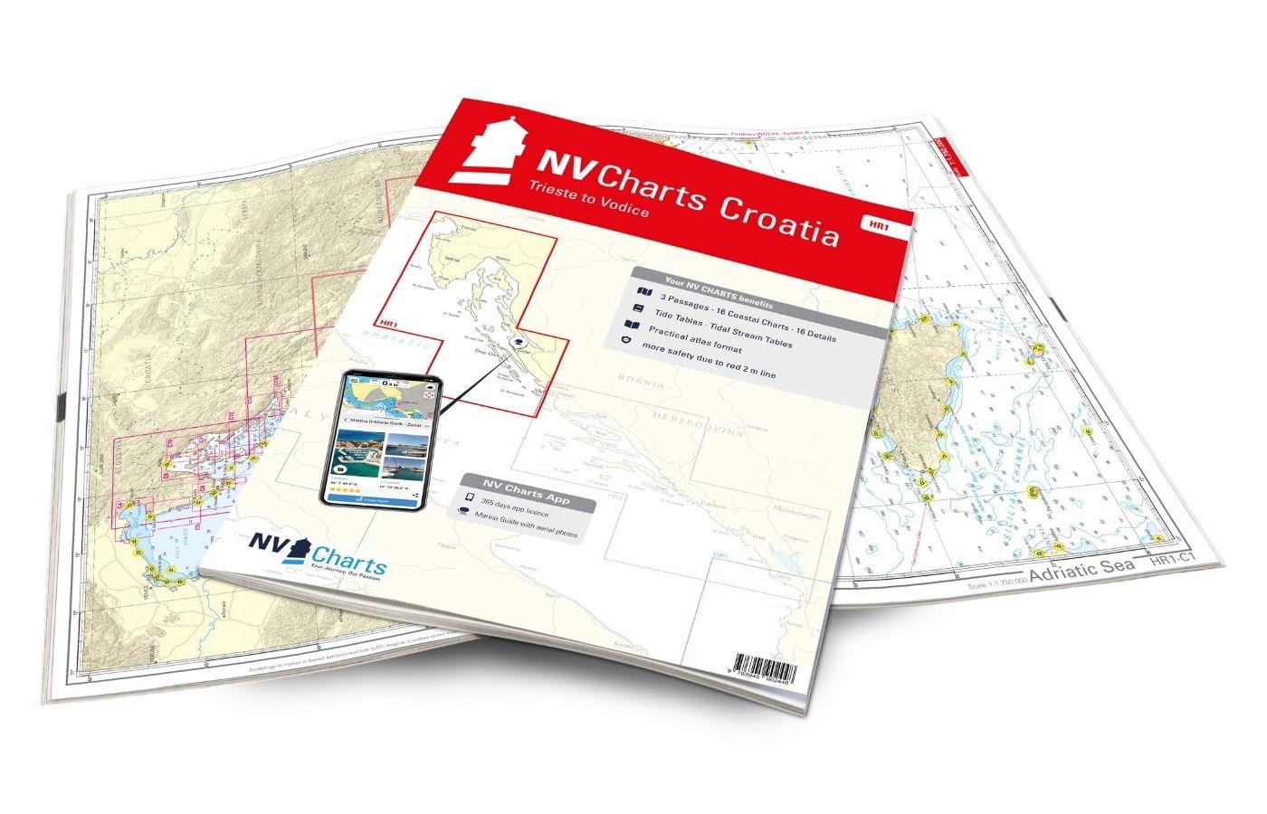
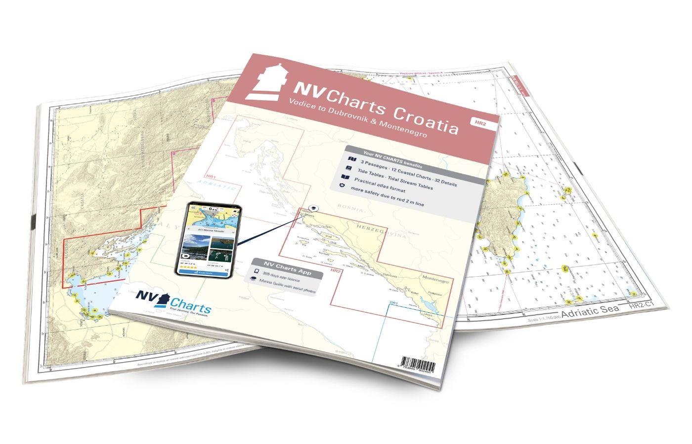
The plotter chip Croatia contains the digital nautical charts of the popular NV Charts chart sets for the Adriatic Sea. The area in the Mediterranean Sea is characterised by its diverse island world and is equally attractive for motorboats and sailing boats. As a supplement to the digital sea chart for the chart plotter we recommend further literature and the NV chart sets Trieste to Vodice and Vodice to Dubrovnik & Montenegro.

The charts are supplied on  "adapter chips" so the appropriate format is included regardless of whether your chart plotter uses SD or Micro SD cards.

As the charts are not readable on all devices from Simrad Lowrance and B&G please do not hesitate to contact us if you have any questions.

The SD card or Micro SD contains the digital NV nautical charts of the following series:

  • HR 1 - NV. Atlas Croatia - Trieste to Vodice
  • HR 2 - NV. Atlas Croatia - Vodice to Dubrovnik & Montenegro


The nv.plotter charts are stored on SD card and can be used flexibly on the devices according to the plug & play principle.
The map image is identical to that of the well-known NV.paper maps. Due to the raster chart display plotters with a screen size of 7 inches or more are recommended.

Features:

Lighthouse sectors are precisely displayed main fairways marked with minimum depths red 2-metre line well-presented and editorially prepared content sheet cut-free chart display.

Please note that NV plotter chips are currently only compatible with Navico Group (Simrad Lowrance B&G) instruments. 

  • Lowrance (All HDS series from Gen.1. & 2 & Elite TI)
  • Simrad (NSE NSS NSO and up)
  • B&G (All units Zeus / Vulcan series and up)


Digital plotter charts are an aid only and do not replace an actual paper chart.

Region: Europa, Mittelmeer Ost, Adria, Mittelmeer
Area preview

With the help of our area preview, you can get an impression of which geographical region the product deals with or which areas a nautical chart covers.

Related products to this item

Related products to this item

NV Charts Croatia HR 1: Trieste to Vodice
Want to discover the northern Adriatic? Our chart set NV Charts HR1 guides you from Istria to North Dalmatia. With its clear structure, the recreational boater quickly finds access points, harbors, an

€64.99*
NV Charts Croatia HR 2 Vodice to Dubrovnik & Montenegro
The pack of cards NV Charts HR2 is your reliable companion for Central Dalmatia to Montenegro. Thanks to the clear layout, recreational boaters can quickly find approaches, harbours and anchorages and

€64.99*

Products near this article

Products near this article

NV Charts Nederland NL3 - IJsselmeer & Randmeeren
For a trip through the popular sailing area of the IJsselmeer is the NL3 the right choice. Once you have passed one of the lock gates, nothing stands in the way of an eventful trip. The IJsselmmeer do

Variants from €51.99*
€64.99*
NV Charts Nederland NL4 - Rijn & Maas Delta
For the water sports area around Rotterdam, the southern part of the famous "Staande Mastroute" and the Maas Delta, the NV Charts NL4 Atlas Rijn and Meuse Delta is the perfect companion. The chart ser

Variants from €51.99*
€64.99*
NV Charts Nederland NL1 - Borkum naar Oostende
The NV Charts Nederland NL1 Oostende naar Borkum  is a chart series specially designed for recreational boating and contains the nautical charts in various sizes, as well as all harbour plans and

Variants from €51.99*
€64.99*
ANWB Waterkaart Amsterdam
Inland map for AmsterdamAmserterdam - the capital of the Netherlands captivates thousands and thousands of tourists every year. The city has something to offer for everyone and is well suited for a st

€12.99*
ANWB Waterkaart 10 - Noord-Holland
Netherlands inland map Noord-HollandThis map shows the northwestern province of Noord-Holland of the Netherlands. The elongated peninsula is one of the most diverse provinces. This nautical map takes

€17.99*
HP 1 Netherlands Coast Pilot
The official nautical handbook for the Dutch coast from Oostende (Belgium) to Emden (Germany) with detailed area informationThe official publication The Netherlands Coast Pilot is published by the Hyd

€54.70*
Cruising Guide to the Netherlands
Delfzijl to Breskens. Detailed cruising guide to the coast of the Netherlands.The book consists of 3 parts. General the South and the Northern part and is complemented by an introductory chapter with

€39.80*
ANWB Waterkaart 21 - Vinkeveense en Loosdrechtse Plassen
Netherlands inland map for Vinkeveense en Loosdrechtse PlassenThis region once characterised by peat extraction is now the destination of water sports enthusiasts from all over Europe.Folding map for

€17.99*
ANWB Waterkaart 11 - Hollandse Plassen
Hollandse Plassen - Best inland map The Hollandse Plassen is also called the sea behind the dikes and is probably the area of the Netherlands with the most windmills. The cruising area is

€17.99*
ANWB Staande Mastroute
ANWB Wateratlas Stande Mastroute(Softcover approx. 295x245cm) Haringvliet/Eems-Dollard. Includes the inland route to Den Helder.The standing mast route is the alternative to the North Sea route for No

€21.99*
NV Charts App - Netherlands
NV Charts App - Netherlands[nvtext_abo_app_iap]This product can only be used in the NV Charts app, it is not compatible with other navigation programs.

€49.90*

Reviews

0 of 0 reviews

Leave a review!

Share your experiences with other customers.