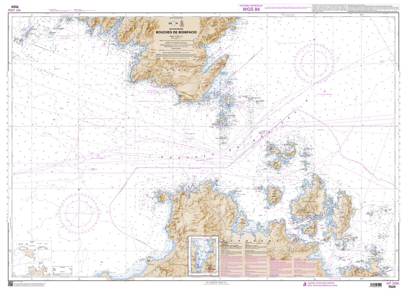
Shom 7024 - INT 3350 Bouches de Bonifacio

Chart ID: Shom 7024
Edition: Edition n° 5 - 2012 - Dernière correction : 52 - carte marine classique, non pliée, format A0, tirage 2022
Edition Date: 14.07.2012
Scale: 1:51.500

€38.10*

Available (Print on Demand), delivery time 1-3 days


Product number: 20868

Description

The official French chart 7024 from the Shom is a nautical chart for the region INT 3350 Bouches de Bonifacio.

The chart contains

  • Scale of 1:51500
  • Stable and water-repellent paper
  • Official French data
  • WGS 84

Chart format

The French nautical charts are printed on customer’s request (print on demand service). This has the advantage that ongoing corrections are taken into account, so the latest version of the Chart is always available.

The charts provide an overview of a specific region. They are well suited for planning a trip. All charts are printed on stable, water-repellent paper. This chart has the following edition information:
Edition n° 5 - 2012 - Dernière correction : 52 - carte marine classique, non pliée, format A0, tirage 2022

Update

The Shom charts are published in new editions irregularly, so the date of correction may be several years ago. You can correct the charts manually with the nautical news.

The Shom

The Shom is a French agency belonging to the country's Ministry of Defence. It is the heir to the world's first official hydrographic service, which dates back to 1720. Shom's portfolio includes almost 900 paper charts. It has its headquarters in the city of Brest in Brittany.

Our recommendation

If you value more up-to-date charts and also digital versions, we recommend the atlases from NV Charts.

Area preview

With the help of our area preview, you can get an impression of which geographical region the product deals with or which areas a nautical chart covers.

Related products to this item

Related products to this item

Gebietsvorschau für Shom 7025 - INT 3302 Île de Corse öffnen
Shom 7025 - INT 3302 Île de Corse
The official French chart 7025 from the Shom is a nautical chart for the region INT 3302 Île de Corse. The chart contains Scale of 1:250000 Stable and water-repellent paper Official French data WGS

€38.10*
Gebietsvorschau für Shom 7162 - Du Cap Muro au Cap de Feno öffnen
Shom 7162 - Du Cap Muro au Cap de Feno
The official French chart 7162 from the Shom is a nautical chart for the region Du Cap Muro au Cap de Feno. The chart contains Scale of 1:51300 Stable and water-repellent paper Official French data

€38.10*
Gebietsvorschau für NV Charts Italy IT3: Sardinia East öffnen
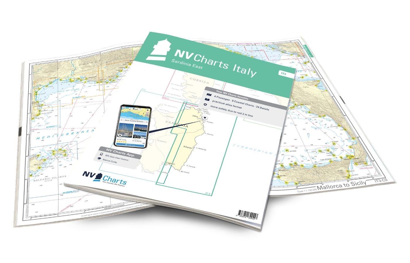
NV Charts Italy IT3: Sardinia East
The NV Charts Atlas IT3 accompanies you on the east coast of Sardinia . Thanks to the clear layout, recreational boaters can quickly find approaches, harbours and anchorages and are informed of import

€64.99*
Gebietsvorschau für Shom 7291 - INT 3310 De Piombino à Fiumicino et côte Est de Corse öffnen
Shom 7291 - INT 3310 De Piombino à Fiumicino et côte Est de Corse
The official French chart 7291 from the Shom is a nautical chart for the region INT 3310 De Piombino à Fiumicino et côte Est de Corse. The chart contains Scale of 1:250000 Stable and water-repellent

€38.10*
Gebietsvorschau für Shom 7507 - Du Golfe du Lion aux Bouches de Bonifacio öffnen
Shom 7507 - Du Golfe du Lion aux Bouches de Bonifacio
The official French chart 7507 from the Shom is a nautical chart for the region Du Golfe du Lion aux Bouches de Bonifacio. The chart contains Scale of 1:500000 Stable and water-repellent paper Offic

€38.10*

Reviews

0 of 0 reviews

Leave a review!

Share your experiences with other customers.


Gebietsvorschau für NV Charts Italy IT4 - Sardinia West öffnen
NV Charts Italy IT4 - Sardinia West
The NV Charts Italy IT4 accompanies you to the west coast of Sardinia . Thanks to the clear layout, recreational boaters can quickly find approaches, harbours and anchorages and are informed

€64.99*
Gebietsvorschau für Carta Della Laguna Di Venezia öffnen
Carta Della Laguna Di Venezia
Carta Della Laguna Di Venezia by Pietro MariuttiVery clearly laid out and informative nautical chart for the Venice Lagoon and our recommendation for your trip.The map of the Venice Lagoon, scale 1:25

€29.90*
Gebietsvorschau für NV Charts Italy IT1 - Menton to Elba öffnen
NV Charts Italy IT1 - Menton to Elba
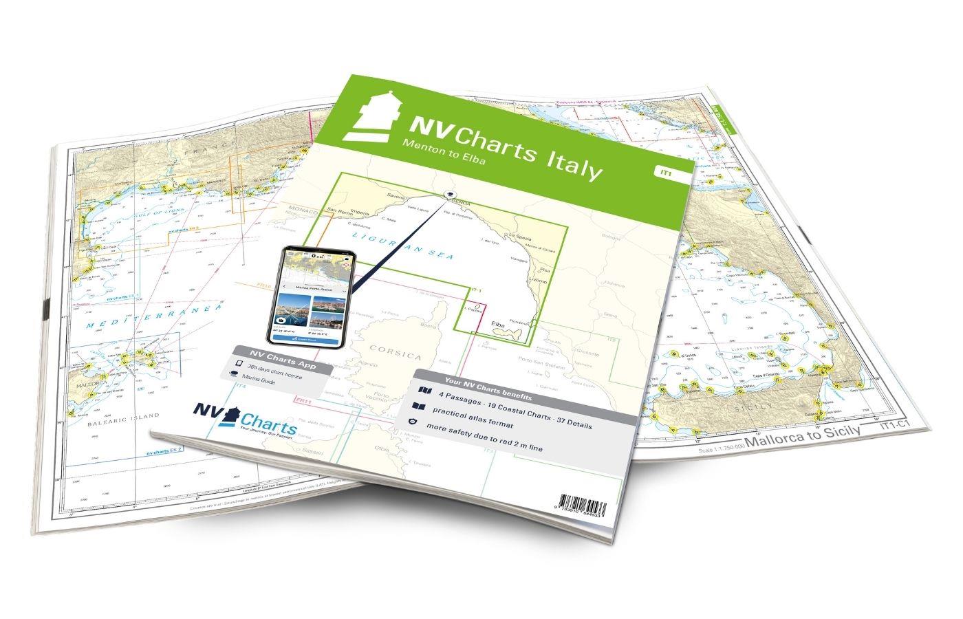
The NV Charts Italy Atlas IT1 covers the dreamlike Italian Riviera from Menton to Elba . Thanks to the clear layout, the recreational skipper can quickly find approaches, harbours and anchorages and i

€64.99*
Gebietsvorschau für NV Charts Pilot 3 Mediterranean East, Sicily to Greece Adriatic Sea öffnen
NV Charts Pilot 3 Mediterranean East, Sicily to Greece Adriatic Sea
The Pilot 3 is suitable as a planning chart for cruises in the eastern part of the Mediterranean. The coasts of Croatia and Greece are completely covered. In addition, the east coast of Italy is compl

€24.99*
Gebietsvorschau für NV Charts France FR11 - Corsica öffnen
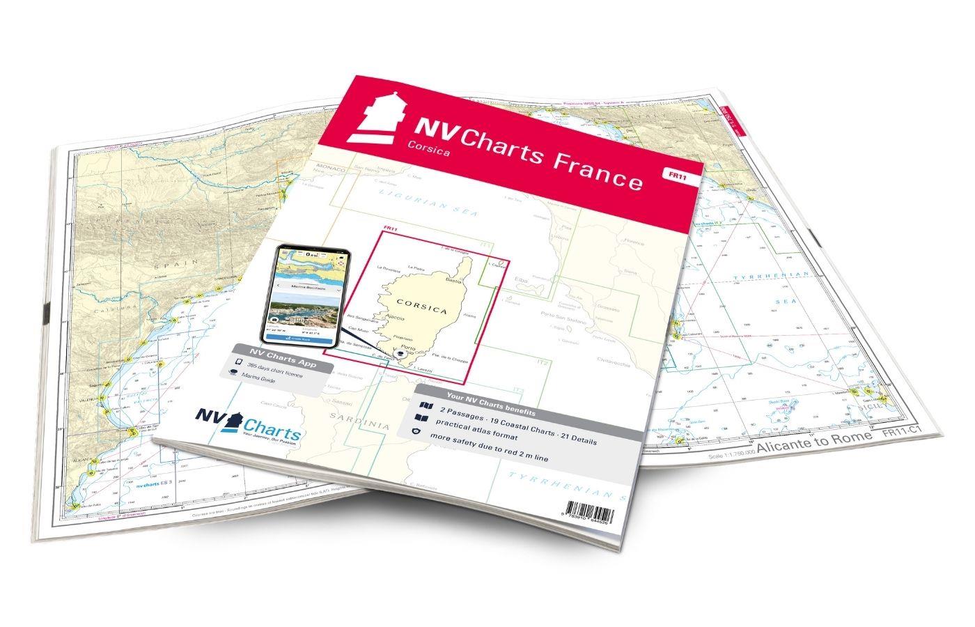
NV Charts France FR11 - Corsica
The NV Charts Atlas FR11 covers the beautiful island of Corsica completely. Thanks to the clear layout, recreational boaters can quickly find approaches, harbours and anchorages and are informed of na

€64.99*
Gebietsvorschau für LAG 01 Golfo di Trieste öffnen
LAG 01 Golfo di Trieste
Golfo di Trieste. Maps of the lagoons between Grado and the Po Delta folded to a handy size (approx. 17x25 cm). The maps include the rivers canals ports and other information.

€9.80*
Gebietsvorschau für NV Charts France FR10 - Toulon to Menton, Monaco öffnen
NV Charts France FR10 - Toulon to Menton, Monaco
The NV Charts Atlas FR10 is your reliable partner for the Côte d'Azur . Thanks to the clear layout, the sports skipper can quickly find approaches, harbours and anchorages and is informed of

€64.99*
Gebietsvorschau für NV Charts France FR9 - Cabo Creus to Toulon öffnen
NV Charts France FR9 - Cabo Creus to Toulon
With the NV Charts France Atlas FR9 you have a reliable companion at your side from the northern Mediterranean coast of Spain to Toulon in France. Thanks to the clear layout, recreational boaters can

€64.99*
Gebietsvorschau für NV Charts Italy IT2 - Elba to Naples öffnen
NV Charts Italy IT2 - Elba to Naples
The NV Charts Italy IT2 covers the Italian Mediterranean from Elba to Naples is covered. Thanks to the clear layout, the recreational skipper can quickly find approaches, harbours and anchor

€64.99*
Gebietsvorschau für NV Charts Pilot 4 - Mediterranean West, Gibraltar to Sicily Adriatic Sea öffnen
NV Charts Pilot 4 - Mediterranean West, Gibraltar to Sicily Adriatic Sea
The Pilot 4 is ideal as a planning chart for traveling the western Mediterranean. The east coast of Spain, the south coast of France and Italy are covered in this oversailor. You can also find the Bal

€24.99*
Gebietsvorschau für Mediterranean France and Corsica Pilot öffnen
-5 %
Mediterranean France and Corsica Pilot
This cruising guide is a helpful travel companion for the French Mediterranean coast and the island of Corsica. It covers the long coastline stretching from Spain and the edge of the Pyrenees to the A

€56.90* €59.90* (5.01% saved)
Gebietsvorschau für NV Charts Italy IT3: Sardinia East öffnen
NV Charts Italy IT3: Sardinia East
The NV Charts Atlas IT3 accompanies you on the east coast of Sardinia . Thanks to the clear layout, recreational boaters can quickly find approaches, harbours and anchorages and are informed of import

€64.99*