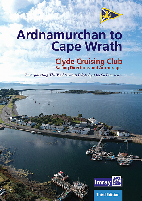
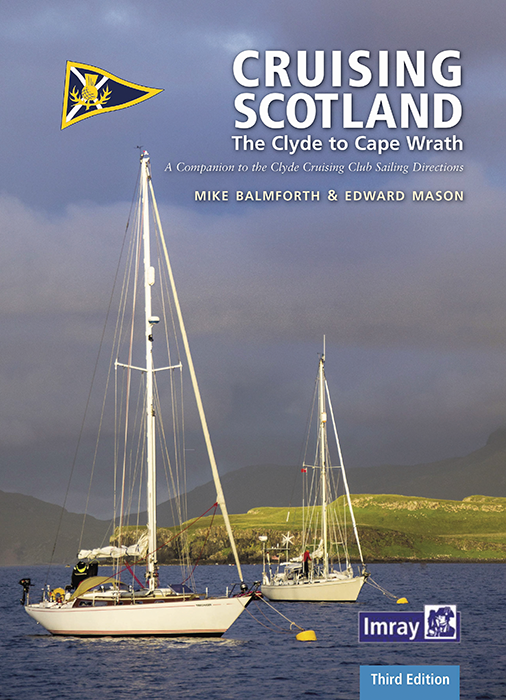
CCC Ardnamurchan to Cape Wrath

Chart ID: IB0217-2
Edition: 2022

€48.50*


Product number: 22325

Description

CCC Sailing Directions - Ardnamurchan to Cape Wrath


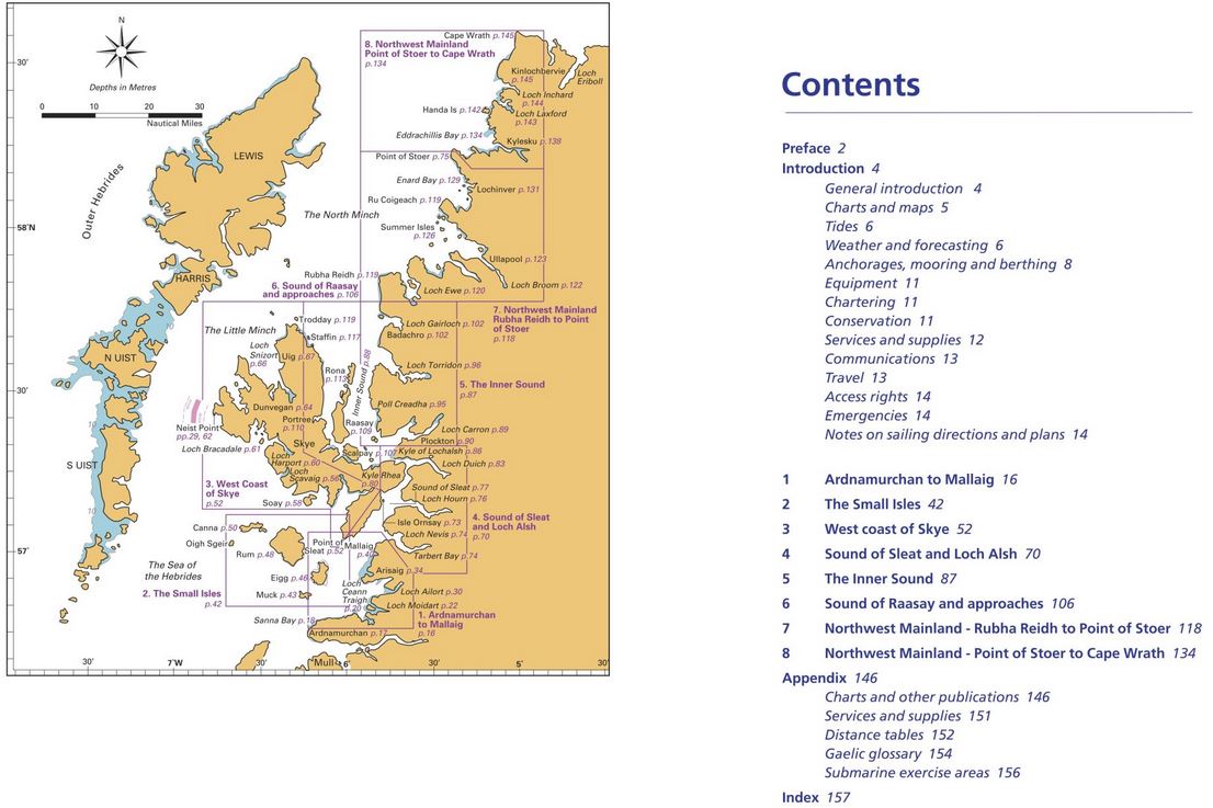
The area covered in this guide covers the northern section of the Scottish west coast from Ardnamurchan Point to Cape Wrath, including the whole of Skye and the Small Isles. The intricate and stunning coastline of lochs and islands provides a rich and varied sailing area with a variety of anchorages, many set against the dramatic backdrop of the Munros.

This third edition, updated by Edward Mason, includes revised text and a selection of new photographs. The details on the plans have been updated to include information from Bob Bradfield's Antares large scale charts. This highly regarded title is an essential companion for anyone travelling in these waters.

There are many beautiful aerial photographs and a sturdy spiral binding allows for open handling, handy for use on the chart table and in the cockpit. An impressive successor to the highly regarded originals.

Product info:

Publisher: Imray
Author: Clyde Cruising Club/Edward Mason
Edition: 3rd edition 2022
ISBN: 9781786793232
Details: DIN A4, spiral binding

Abdeckung:Abdeckung


Empfehlungen:

Cruising Scotland

Outer Hebrides

Firth of Clyde


Area preview

With the help of our area preview, you can get an impression of which geographical region the product deals with or which areas a nautical chart covers.

Reviews

0 of 0 reviews

Leave a review!

Share your experiences with other customers.


Gebietsvorschau für CCC Orkney and Shetland Islands including North & Northeast Scotland öffnen
CCC Orkney and Shetland Islands including North & Northeast Scotland
A cruising guide to the Orkney and Shetland Islands which includes Fair Isle. This cruising guide also covers the "jumping off ports" on the south side of the Pentland Firth and the Scottish main

€48.50*
Gezeitentafeln 2025: Europäische Gewässer
Nautical publication with all tidal information and its forecasts as well as instructions for use for the tidal ranges in Europe. The "Gezeitentafeln 2025: Europäische Gewässer" (Tide Tables for

€28.00*
Gebietsvorschau für CCC Kintyre to Ardnamurchan öffnen
CCC Kintyre to Ardnamurchan
CCC Sailing Directions - Kintyre to Ardnamurchan Das von diesem Führer abgedeckte Gebiet erstreckt sich vom Mull of Kintyre bis zur Halbinsel Ardamurchan und umfasst einige der schönsten Segelgeb

€48.50*
Gebietsvorschau für Reeds Nautical Almanac 2024 öffnen
Reeds Nautical Almanac 2024
The comprehensive cruising guide for the North Sea, British Isles and European Atlantic coast offers all the information you need in a compact almanac, from passage planning and up-to-date port plans

€59.00*
Gebietsvorschau für Gezeitenstromatlas NP251 North Sea, Southern Part öffnen
Gezeitenstromatlas NP251 North Sea, Southern Part
Tidal streams diagrams include detailed tidal stream direction and strength information. They show at a glance the direction and rate of tidal streams display neap and spring tidal rates in tenths of

€33.90*
Lochs and lights
An illustrated book of the west coast of mainland Scotland by Patrick Roach and Gordon Buchanan.Lochs and Light' is an illustrated book of stunning aerial photographs of the west coast of Scotland, on

€14.80*
Gebietsvorschau für East & North Coast of Ireland öffnen
East & North Coast of Ireland
A sailing guide to the north-east coast of IrelandFrom Kilmore Quay and Carnsore Point north via Malin Head to Bloody Foreland. This 13th fully revised edition of the East & North Coasts of Ireland Sa

€48.50*
Reeds Eastern Almanac 2025
Detailed guide to the east coast of England to the Shetland Islands and the North Sea coast of the Netherlands and Belgium.A great aid for watersports enthusiasts in a handy spiral binding. Extracted

€50.10*
Gebietsvorschau für Irish Sea Pilot öffnen
Irish Sea Pilot
A Territorial Guide to the Irish Sea: Wales North Wales South England Ireland North Ireland South and Isle of ManTheIrish Sea is a vast almost landlocked sea. Around its shores and islands are no fewe

€43.00*
CCC Firth of Clyde
Firth of Clyde covers everything from the busy waters of the Firth of Clyde and River Clyde to the more remote areas of the wider estuary and connected lochs, including the protected and beautiful Kyl

€48.50*
Reeds Channel Almanac 2025
Detailed guide to the Channel coastA great help for water sports enthusiasts in a handy spiral binding. Extracted from the large "Reeds Nautical Almanac" with full details - the coverage is limited to

€50.10*
Gebietsvorschau für Crossing the Thames Estuary öffnen
Crossing the Thames Estuary
Crossing the Thames Estuary60 routes covering most passages across the Thames Estuary.The problem with planning passage across the Thames Estuary is that each route consists of a number of different s

€38.20*