CCC Kintyre to Ardnamurchan

Chart ID: IB0223-2

€48.50*


Product number: 22327

Description

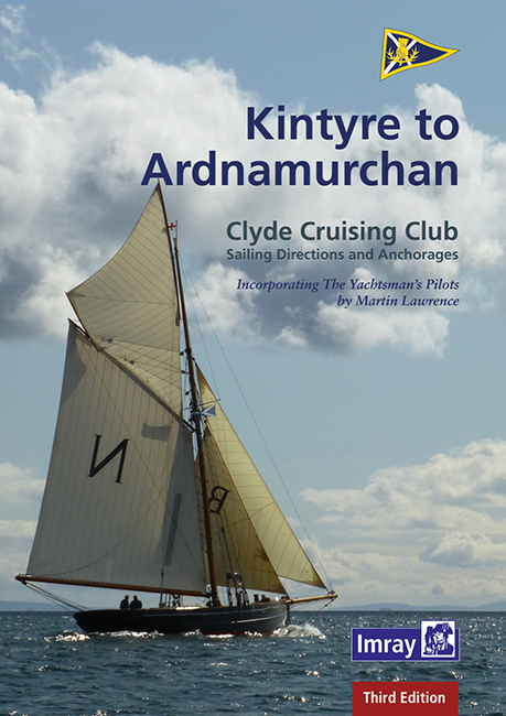
CCC Sailing Directions - Kintyre to Ardnamurchan


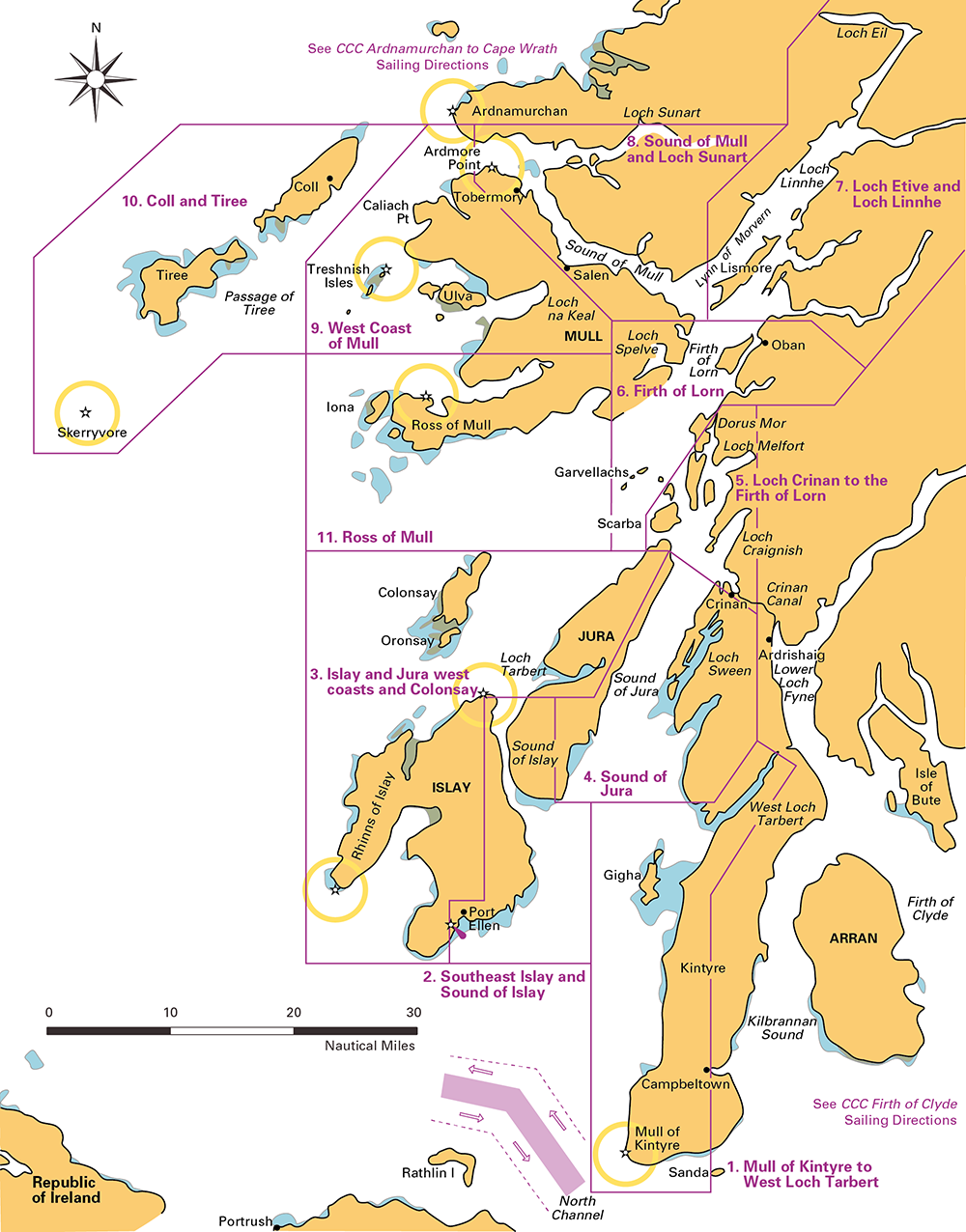
Das von diesem Führer abgedeckte Gebiet erstreckt sich vom Mull of Kintyre bis zur Halbinsel Ardamurchan und umfasst einige der schönsten Segelgebiete der Welt.


In unmittelbarer Nähe der großen Häfen und Marinas gibt es eine Fülle von Seen und Inseln mit zahlreichen idyllischen Ankerplätzen zu entdecken. Einige von ihnen sind leicht zu finden, andere stellen eine größere navigatorische Herausforderung dar und sind über verschlungene Kanäle mit einer Reihe gut markierter Passagen zu erreichen, wieder andere liegen jenseits turbulenter Gezeitengeräusche. Alle werden mit einer atemberaubenden Landschaft belohnt, und es ist für jeden etwas dabei, egal ob Sie zum ersten Mal an Bord sind oder in vertraute Gewässer zurückkehren.


Diese neue Ausgabe, die von Edward Mason aktualisiert wurde, setzt die lange Tradition der CCC-Publikationen für Fahrtensegler fort. Die Informationen über Häfen und Marinas wurden gründlich überarbeitet und die Pläne wurden durchgehend aktualisiert. Mehrere neue Fotos wurden aufgenommen, um die wichtigsten Navigationsmerkmale zu identifizieren und zu weiteren Erkundungen anzuregen.

Die Details auf den Plänen wurden unter Bezugnahme auf das Imray-Kartenpaket für das Gebiet (2800 Kintyre bis Ardnamurchan) aktualisiert. Verweise auf die nützlichen großmaßstäbigen Antares-Karten von Bob Bradfield sind ebenfalls enthalten.

Produkt-Informationen:

Autor: Edward Mason
Hersteller: Imray
Einzelheiten: DIN A4, Spiralbindung
Auflage: 3. Auflage, 2020
ISBN: 9781786791665
Hersteller-Nr.: IB0223-2

Cover:


Kybt


Area preview

With the help of our area preview, you can get an impression of which geographical region the product deals with or which areas a nautical chart covers.

Reviews

0 of 0 reviews

Leave a review!

Share your experiences with other customers.


Gebietsvorschau für East Coast Rivers Cruising Companion öffnen
East Coast Rivers Cruising Companion
East Coast Rivers covers the rivers creeks shoals and river sections of the Thames Estuary and surrounding rivers stretching from Lowestoft to Ramsgate.Since 1956 when Jack Coote Jans father published

€49.90*
Gebietsvorschau für CCC Orkney and Shetland Islands including North & Northeast Scotland öffnen
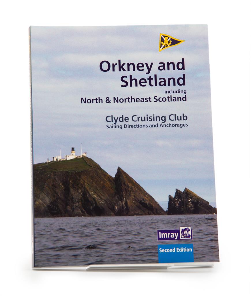
CCC Orkney and Shetland Islands including North & Northeast Scotland
A cruising guide to the Orkney and Shetland Islands which includes Fair Isle. This cruising guide also covers the "jumping off ports" on the south side of the Pentland Firth and the Scottish main

€48.50*
Gebietsvorschau für Gezeitenstromatlas NP251 North Sea, Southern Part öffnen
Gezeitenstromatlas NP251 North Sea, Southern Part
Tidal streams diagrams include detailed tidal stream direction and strength information. They show at a glance the direction and rate of tidal streams display neap and spring tidal rates in tenths of

€33.90*
Lochs and lights
An illustrated book of the west coast of mainland Scotland by Patrick Roach and Gordon Buchanan.Lochs and Light' is an illustrated book of stunning aerial photographs of the west coast of Scotland, on

€14.80*
Gebietsvorschau für East & North Coast of Ireland öffnen
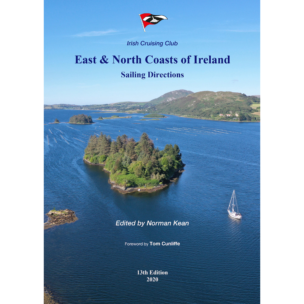
East & North Coast of Ireland
A sailing guide to the north-east coast of IrelandFrom Kilmore Quay and Carnsore Point north via Malin Head to Bloody Foreland. This 13th fully revised edition of the East & North Coasts of Ireland Sa

€48.50*
Gebietsvorschau für Isles of Scilly öffnen
Isles of Scilly
The Isles of Scilly Cruising Guide The new edition of this comprehensive guide to the Isles of Scilly has been completely revised and updated. Background information on the islands their history and f

€38.20*
Gebietsvorschau für Irish Sea Pilot öffnen
Irish Sea Pilot
A Territorial Guide to the Irish Sea: Wales North Wales South England Ireland North Ireland South and Isle of ManTheIrish Sea is a vast almost landlocked sea. Around its shores and islands are no fewe

€43.00*
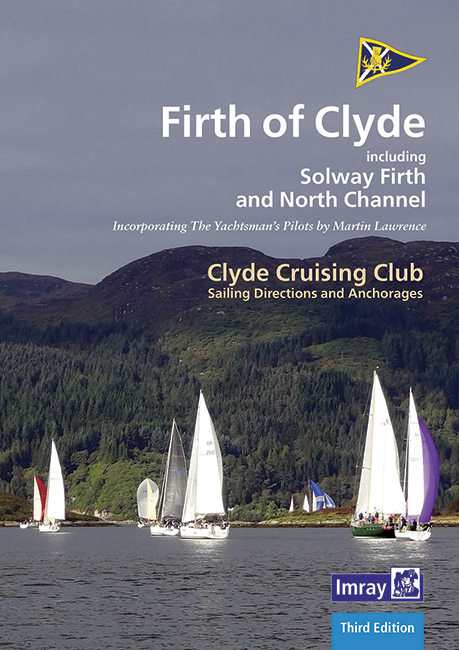
CCC Firth of Clyde
Firth of Clyde covers everything from the busy waters of the Firth of Clyde and River Clyde to the more remote areas of the wider estuary and connected lochs, including the protected and beautiful Kyl

€48.50*
Gebietsvorschau für Crossing the Thames Estuary öffnen
Crossing the Thames Estuary
Crossing the Thames Estuary60 routes covering most passages across the Thames Estuary.The problem with planning passage across the Thames Estuary is that each route consists of a number of different s

€38.20*
Gebietsvorschau für CCC Ardnamurchan to Cape Wrath öffnen
CCC Ardnamurchan to Cape Wrath
CCC Sailing Directions - Ardnamurchan to Cape WrathThe area covered in this guide covers the northern section of the Scottish west coast from Ardnamurchan Point to Cape Wrath, including the whole of S

€48.50*
Gebietsvorschau für Outer Hebrides öffnen
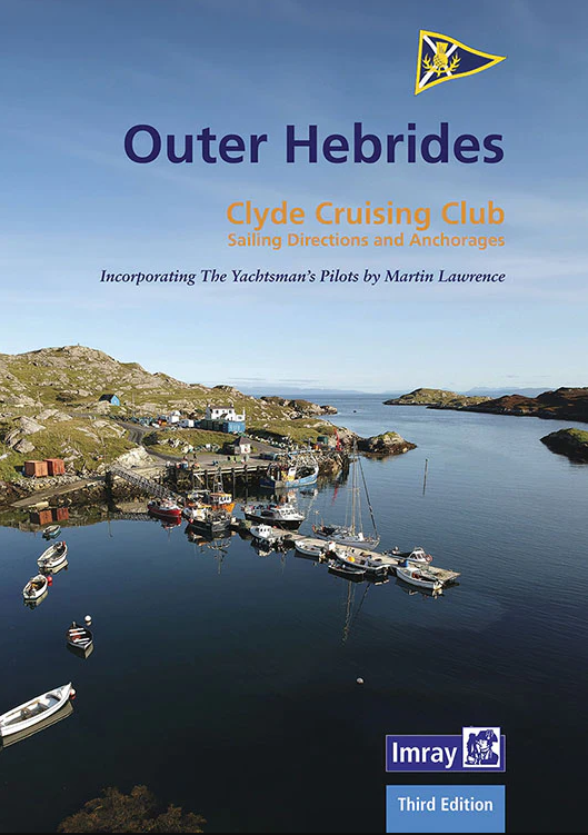
Outer Hebrides
CCC Sailing Directions and Anchorages - Outer HebridesCovers the Western Isles from Lewis to Berneray.This Clyde Cruising Clubs Outer Hebrides harbour guide to the Outer Hebrides is a comprehensive gu

€45.80*
Gebietsvorschau für Channel Islands, Cherbourg Peninsula and North Brittany öffnen
Channel Islands, Cherbourg Peninsula and North Brittany
This popular pilotage guide covers the waters of the Channel Islands and the neighbouring French coast from the north-east of the Cherbourg Peninsula westwards along the coast of Normandy and Brittany

€63.50*