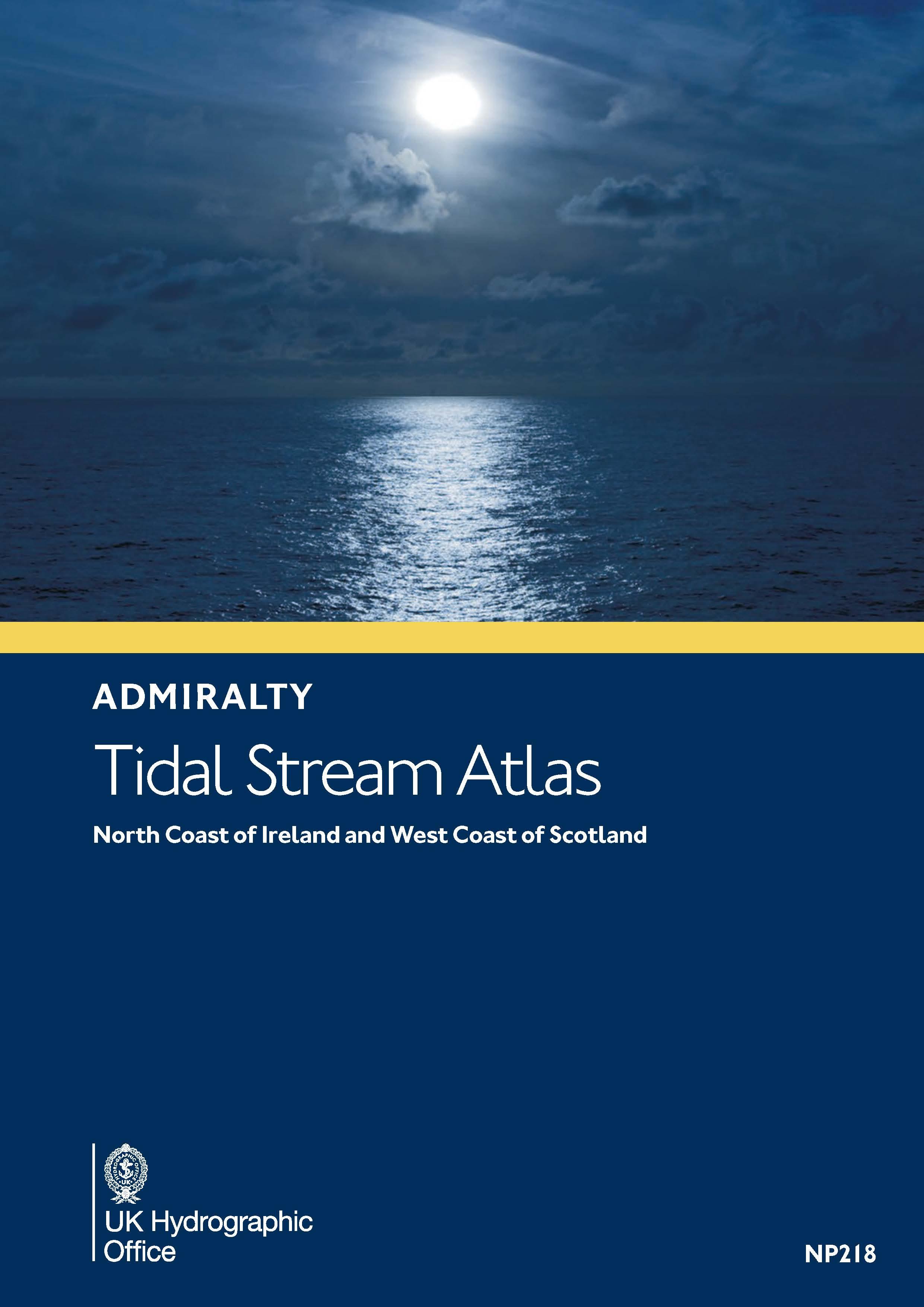
Gezeitenstromatlas NP218 North Coast of Ireland and West Coast of Scotland
Description
This Tidal Current Atlas for the west coast of Scotland including the Outer and Inner Hebrides and the north coast of Ireland with the transition into the Irish Sea (ADMIRALTY NP218) explains the directions and strengths of the tidal currents in the hourly rhythm of ebb and flood related to high water in Dover. The time intervals to high water in Ullapool are also given. A total of thirteen maps are provided for the northern and southern parts of the sea area respectively supplemented by detailed sections at Kyle Rhea and Scarba Island. These range from six hours before high tide Dover to six hours after high tide Dover.
The graphic presentation with detailed maps make the current situation easy to understand and manageable at first glance. Especially for this challenging area this is a safety gain on board. The symbols and graphics are explained in the introduction. The current speeds are given in knots and tenths of knots for both jump and neap times the current direction is taken from the charts with a nautical course triangle. The use is explained in detail in English.
For the use current and valid tide data for the current year with high tide times from the ADMIRALTY Tide Tables NP201A or the Reeds Nautical Almanac are necessary. This information is not included in the Current Atlas.
| Format: | Softcover / Taschenbuch |
|---|---|
| Language: | Englisch |
With the help of our area preview, you can get an impression of which geographical region the product deals with or which areas a nautical chart covers.
Related products to this item
Reviews
Login

