South & West Coast of Ireland

Chart ID: RBICC0001-3

€48.50*


Product number: 22386

Description

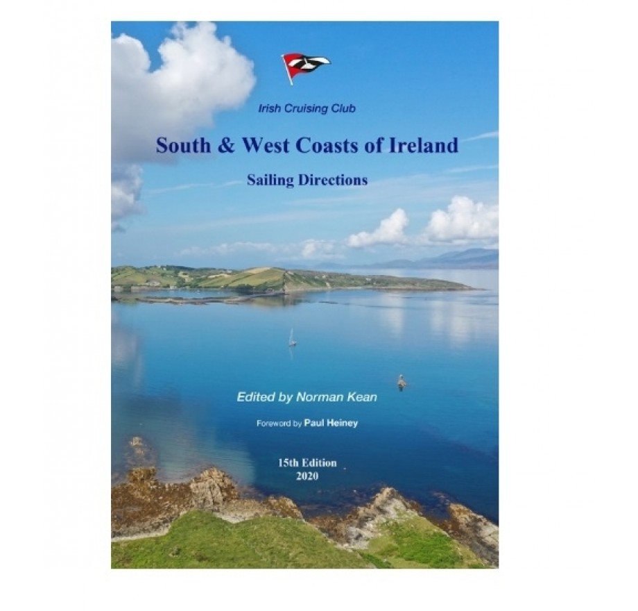
South and West Coast of Ireland

This 15th edition brings Sailing Directions up to date.

It describes the latest developments in infrastructure shipyards new marinas or pontoon mooring facilities in ten ports.

It reflects the results to date of the INFOMAR survey project which continues to reveal new secrets of the seabed and describes 52 changes to aids to navigation since 2016.

Information on passage planning pilotage tides hazards lights and markers ports anchorages and shore facilities (including diesel fuel availability) has been comprehensively updated. 175 drone photos give a new view of the coast its sunny landscape and its harbours anchorages passages and hazards.

ISBN: 978-0-9558-199-8-8
Number of pages: 368
Format: A1
Edition: 15th 2020

Area preview

With the help of our area preview, you can get an impression of which geographical region the product deals with or which areas a nautical chart covers.

Related products to this item

Related products to this item

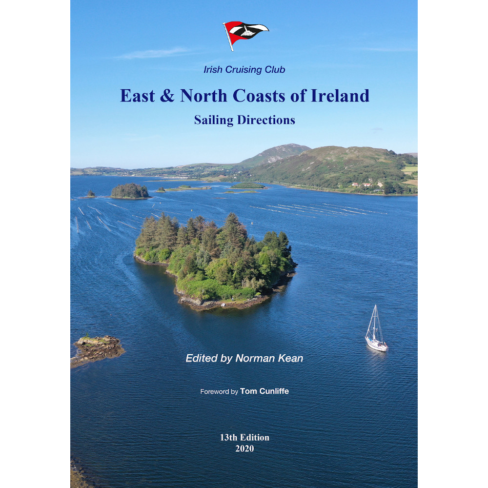
East & North Coast of Ireland
A sailing guide to the north-east coast of IrelandFrom Kilmore Quay and Carnsore Point north via Malin Head to Bloody Foreland. This 13th fully revised edition of the East & North Coasts of Ireland Sa

€48.50*
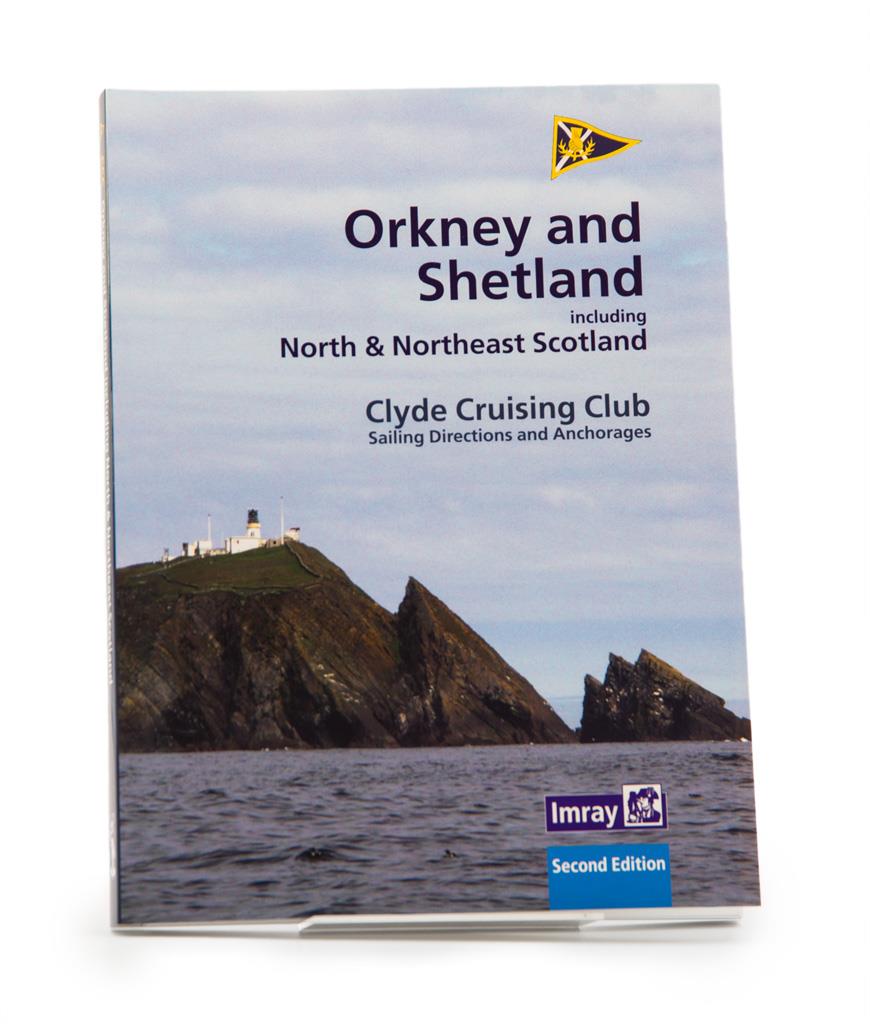
CCC Orkney and Shetland Islands including North & Northeast Scotland
A cruising guide to the Orkney and Shetland Islands which includes Fair Isle. This cruising guide also covers the "jumping off ports" on the south side of the Pentland Firth and the Scottish main

€48.50*
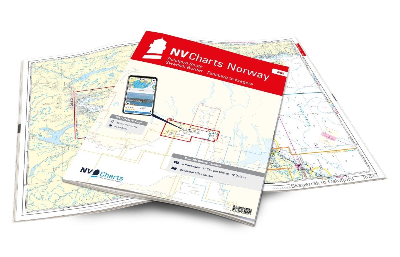
NV Charts Norway NO2 - Oslofjord Sør, Svenska Grensen til Kragerø
The NV Charts Atlas NO2 covers the southern Oslofjord. NV Charts for the Norwegian coast are based on data from the Norwegian Hydrographic Office and also include the harbour plans of the "Norske Los"

€74.99*
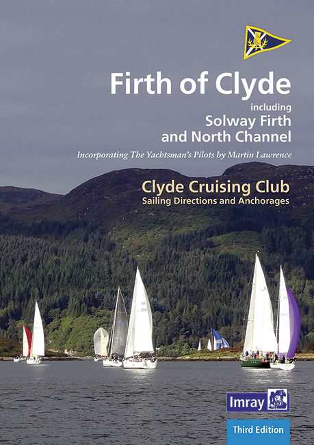
CCC Firth of Clyde
Firth of Clyde covers everything from the busy waters of the Firth of Clyde and River Clyde to the more remote areas of the wider estuary and connected lochs, including the protected and beautiful Kyl

€48.50*
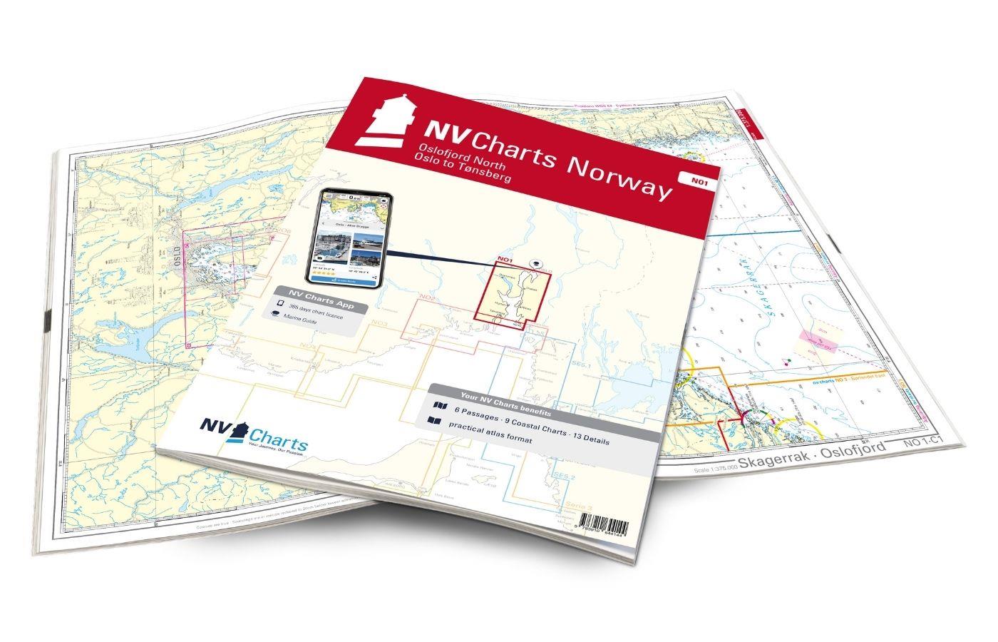
NV Charts Norway NO1 - Oslofjord Nord, Oslo to Tønsberg
The NV Charts Norway Atlas NO1 covers the region around Oslo. NV Charts charts for the Norwegian coast are based on data from the Norwegian Hydrographic Office and also include the harbour plans of th

€74.99*

Reviews

0 of 0 reviews

Leave a review!

Share your experiences with other customers.