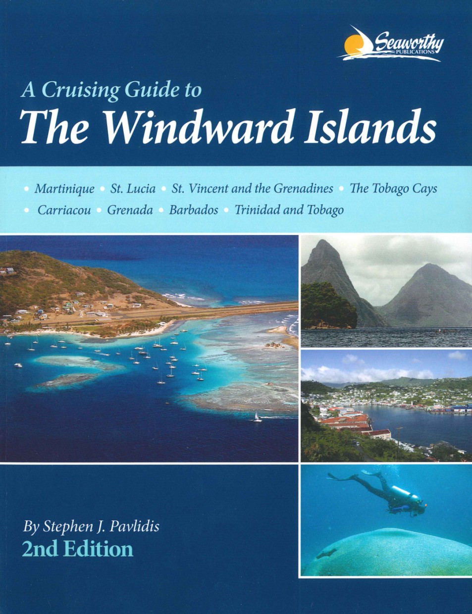
Cruising Guide to The Windward Islands
Chart ID:
RBSEA0001
Description
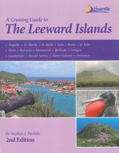
This is the completely updated version of Steve Pavlidis comprehensive Windward Islands guide that covers the stretch of islands from Martinique to Trinidad and Tobago. Now in full-color with many new charts and full-color aerial photos of principal harbors. It contains 370 pages of text with 112 full-color sketch charts including GPS accurate data that is based on surveys personally conducted by the author. In addition it contains detailed piloting instructions GPS waypoints aerial photos approaches and routes anchorages services dive sites history basic information for cruising in the Caribbean extensive appendices index bibliography and more. This second edition will greatly enhance your cruising experiences in this region by giving you valuable information based on actual experience and local knowledge. In english, 367 pages
| Language: | Englisch |
|---|---|
| Region: | Caribbean |
| Size: | Buch |
Area preview
With the help of our area preview, you can get an impression of which geographical region the product deals with or which areas a nautical chart covers.
Related products to this item
Reviews
Login

