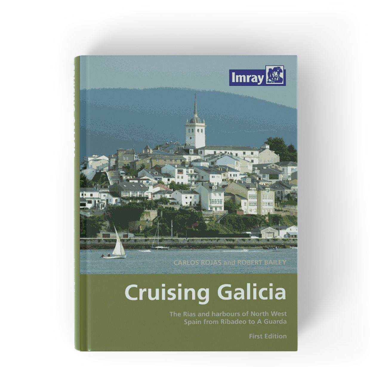
Cruising Galicia
Description
This guide is suitable for all water sports enthusiasts who want to explore the coast of Galicia in the north of Spain. It covers the area from Ribadeo on the north coast to A Guarda on the west coast. "Cruising Galicia" describes in detail the ports and anchorages of the region. It also includes practical map extracts and pictures some of them aerial. Above all this book stands out for its annotated city maps which recommend facilities restaurants sights or other places to visit. In the introduction and in the back of the district guide there are also separate chapters with many helpful tourist tips.
Those who long for a somewhat quieter region that is not considered a "classic" among water sports districts will get their moneys worth in Galicia. The landscape is characterised by rugged mountain ranges cliffs and secluded bays. This region also has a lot to offer in terms of culture and cuisine.
Cruising Galicia is in English the last edition is from 2008.
| Author: | Carlos Rojas & Robert Bailey |
|---|---|
| Language: | Englisch |
| Region: | Europa, Atlantik, Biskaya |
| Size: | Buch, Hardcover |
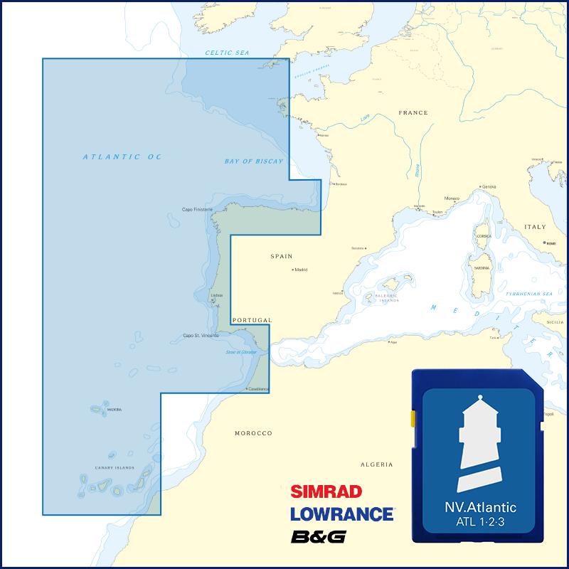
With the help of our area preview, you can get an impression of which geographical region the product deals with or which areas a nautical chart covers.
Other customers bought also
Reviews
Login

