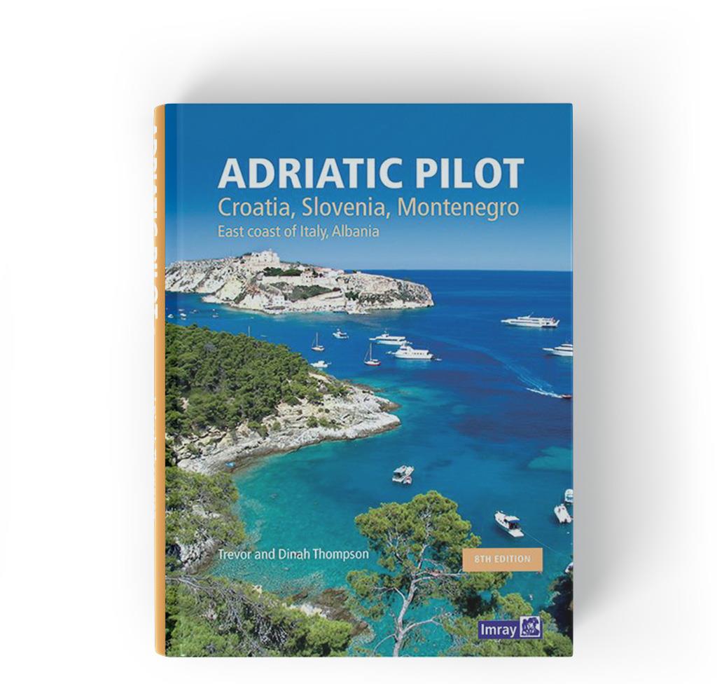
Adriatic Pilot
Description
Adriatic Pilot.Ein Klassiker unter den Revierführer. Seit über dreißig Jahren der einzige und umfassende Revierführer für die Adria mit den Küsten von Albanien Montenegro Kroatien Slowenien und der Ostküste von Italien inklusive der Lagune von Venedig und Istrien von T&D Thomson.
Diese 8. Ausgabe wurde von Trevor und Dinah Thompson vollständig überarbeitet und enthält neue Informationen über Yachthäfen Ankerplätze und den Küsten der Adria mit allen dazugehörigen Einrichtungen für Sportschiffer. Zahlreiche Fotografien helfen bei der Orientierung Information und Inspiration darunter auch eine neue Serie von Bildern der italienischen Küste und der Lagune von Venedig.
I have reviewed several pilot books in recent years and this is head and shoulders above them all. It is very easy to use and for anyone unfamiliar with the area it is particularly good as it not only includes all the essential general information about the countries but is subdivided with clear general maps of each area/country with all ports and anchorages marked plus an overall map of the entire area covered by the book. Each harbour/anchorage is dealt with in a consistent manner with the information in the order that one is likely to need it – general approach lights berthing shelter facilities anchoring. What’s more where anchoring is an option the sketch charts and navigational instructions are more than adequate to permit safe anchoring without also carrying large scale charts for every inlet even assuming they exist which in many cases they don’t. I can find nothing to criticise! If like me you have not cruised this area you will be tempted to go with this book as your guide.’ PGE Royal Navy Sailing Association Winter Journal
Abdeckung:
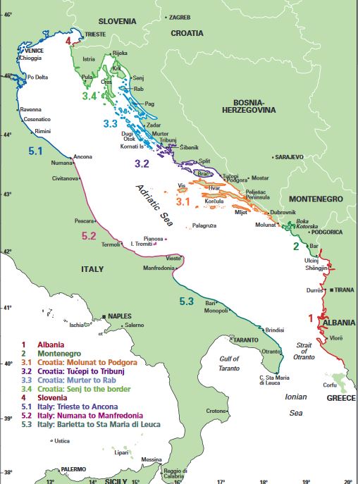
- Albanien Die dalmatinische Küste : Cruising in Montenegro Kroatien und Slowenien
- Montenegro
- Kroatien
3.1. Molunat bis Podgora
3.2. Tucepi bis Tribunj
3.3. Murter bis Rab
- Slowenien
- Italien
5.1. Slowenien bis Ancora
5.2. Numana bis Manfredonia
5.3. Barletta bis Sta Maria di Leuca
Zusatzinformationen:
- Seekarten und Bücher
- Nützliche Kontaktdate
- Verordnungen Steuern und Gesetze
Verlag: Imray
- Autor: T & D Thompson
- Edition: 8. Auflage 2019
- ISBN: 9781786790217
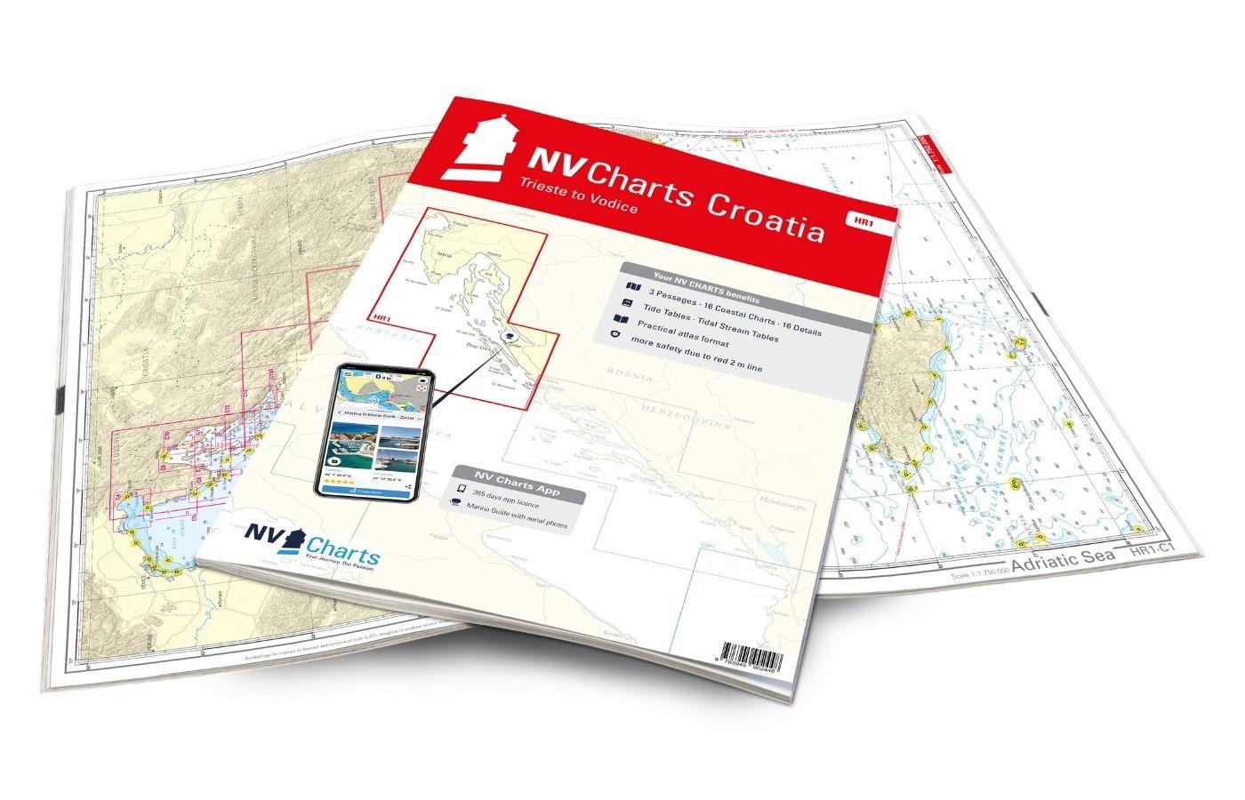
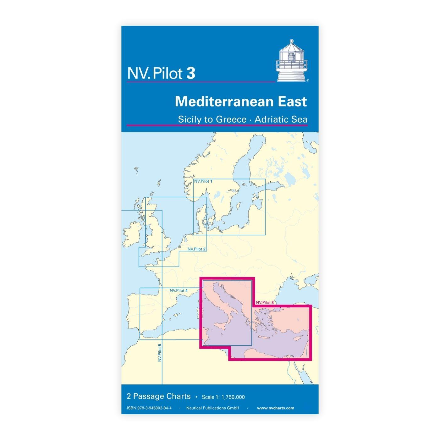
With the help of our area preview, you can get an impression of which geographical region the product deals with or which areas a nautical chart covers.
Related products to this item
Reviews
Login

