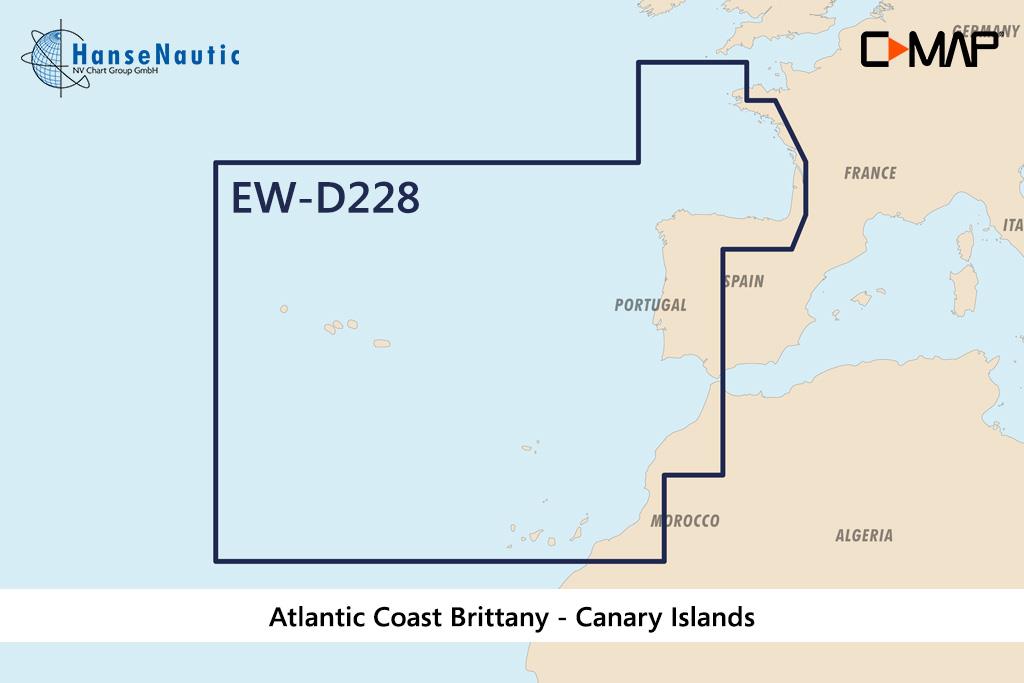
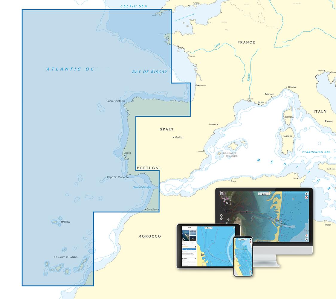
C-MAP 4D MAX+ Wide EW-D228 West European Coasts

€239.00*

 
Information about your plotter
Please let us know which plotter you would like to use this product for.
Bitte tragen Sie die Marke und die Modellbezeichnung Ihres Plotters in das Textfeld ein. Wir werden intern prüfen, ob dieses Produkt mit Ihrem Plotter kompatibel ist. Mit dieser Information können wir Fehlbestellungen verringern und Ihnen mitteilen, wenn Sie eventuell ein anderes Produkt für Ihren Plotter benötigen.
Bitte geben Sie eine Telefonnummer an, unter der wir Sie erreichen können, falls Ihre Angaben zum Plotter nicht ausreichen oder Ihr Modell nicht zur gewünschten Karte passt.
Information about your plotter
Share your configuration
 
Product number: 24187

Description

Electronic nautical chart for the western coasts of Europe from Brest in France to the Canary Islands and the Azores for modern chart plotters and multifunction displays..

Coverage

The C-MAP chart EN-D590 covers the inland waters in Scandinavia.

Data carrier

This electronic nautical chart is supplied on an mSD data carrier contained in an SD card adapter. But without the satellite imagery oblique aerial imagery and raster charts usually found in the ""+"" format. These 4D maps have only the proven vector maps stored.

Compatibility

Suitable e.g. for many Furuno plotters all current Raymarine MFD models Axiom Axiom Pro as well as a-series e-series c-series eS-series gS-series.

Please refer to the Compatibility list - we will be happy to help.

Tip: When ordering your nautical chart always state the make and model of your plotter to avoid incorrect deliveries.

Revocation excluded

These nautical charts are produced by us for you on customer request in order to always provide you with the most up-to-date data. For this reason, the charts are excluded from exchange and revocation.

Format: mSD-Karte
Size: Wide
Area preview

With the help of our area preview, you can get an impression of which geographical region the product deals with or which areas a nautical chart covers.

Products near this article

Products near this article

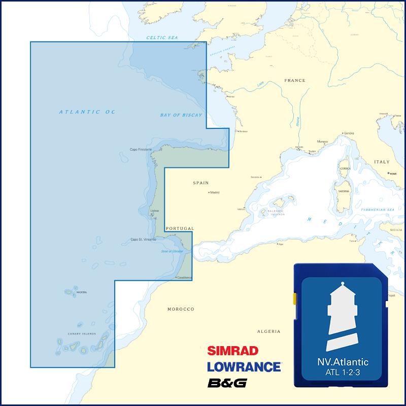
NV Atlantik Plotterseekarten
Maps & Port plans of the series ATL 1 ATL 2 ATL 3Digital plotter charts for the Atlantic including Portugal and the Atlantic Islands and the Atlantic Passage. The charts are supplied on "adapter ch

€129.99*
New
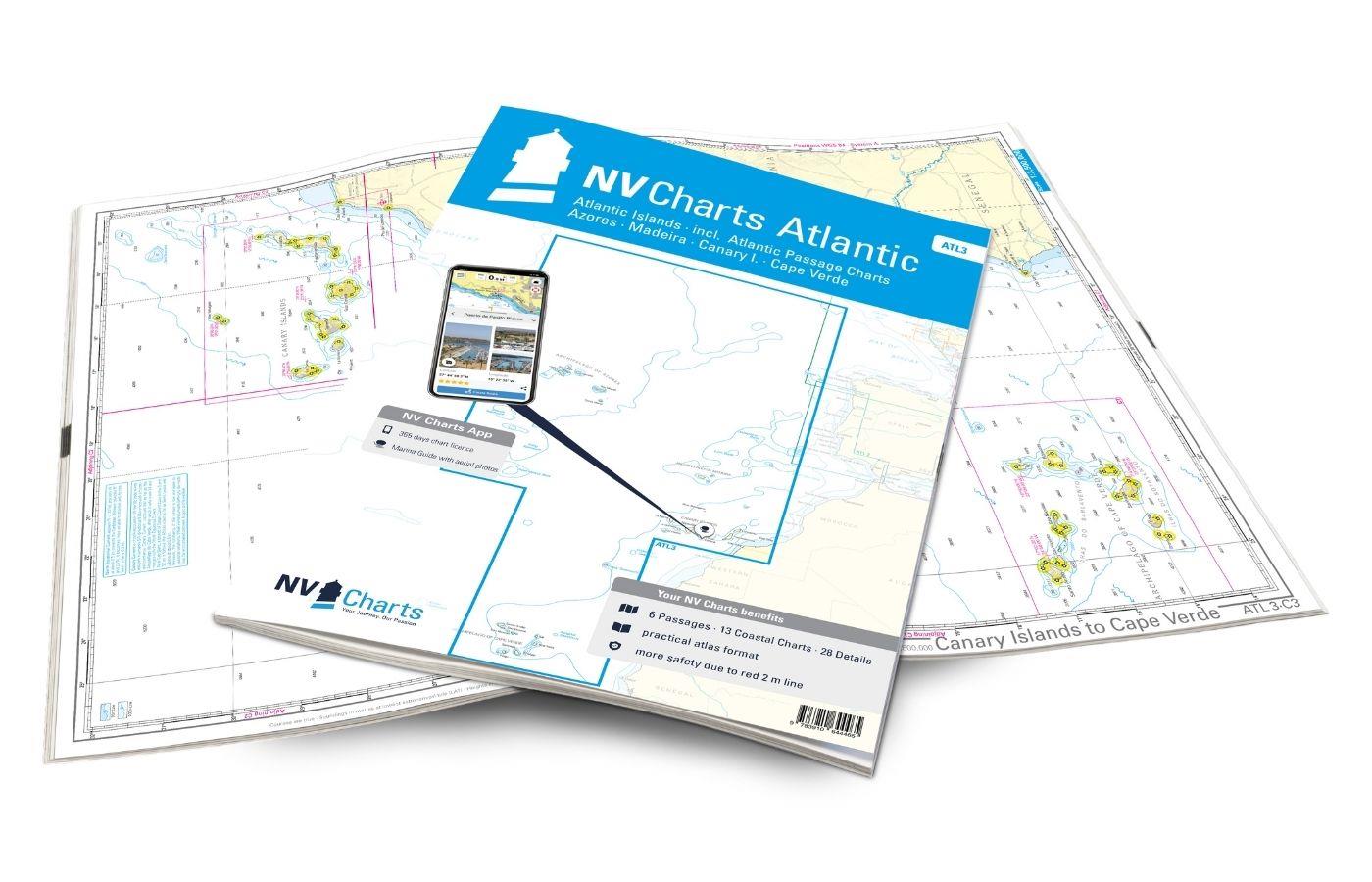
NV Charts Atlantic ATL3 - Atlantic Islands Azores - Madeira, Canary Islands, Cape Verde
If you want to embark on the great adventure of crossing the Atlantic, the NV Charts Atlantic ATL3 is ideally equipped. Thanks to the clear layout, the recreational skipper can quickly find approaches

€74.99*
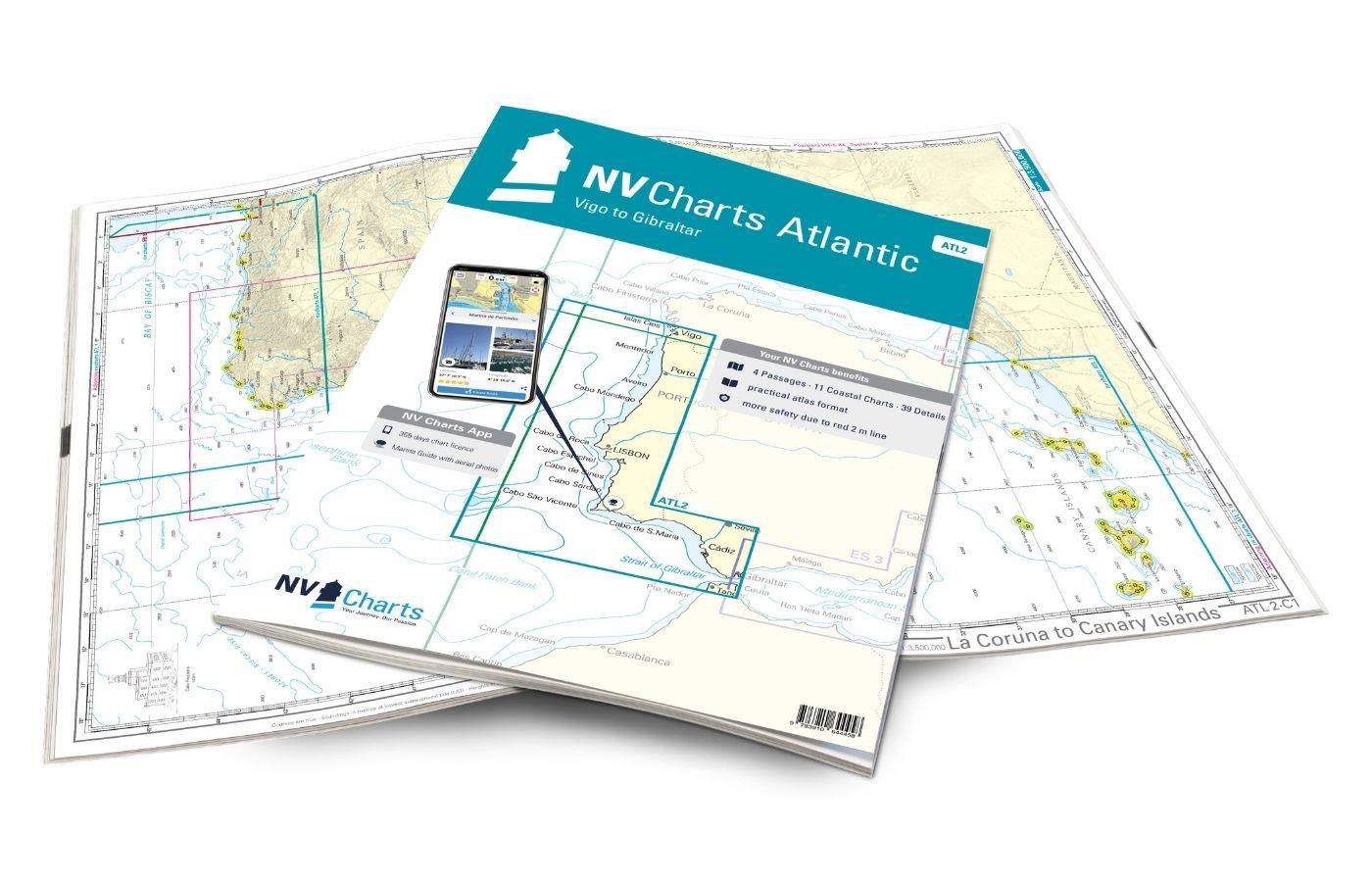
NV Charts Atlantic ATL2 - Vigo to Gibraltar
With the NV Charts Atlantic Atlas  ATL2 you can navigate reliably from the Spanish Atlantic coast to the Strait of Gibraltar. Thanks to the clear layout, the recreational skipper can quickly

€74.99*
NV Charts App - Atlantic Islands and Passage
NV Charts App - Atlantic Islands and Passage[nvtext_abo_app_iap]This product can only be used in the NV Charts app, it is not compatible with other navigation programs.

€49.90*

Reviews

0 of 0 reviews

Leave a review!

Share your experiences with other customers.