Skip to main content Skip to search Skip to main navigation

Electronic nautical chart for Garmins modern chartplotters.


The cartography includes integrated chart areas for a transition-free display information on tides and currents. Highly detailed the chart image is very pleasing to the eye and complete.


Coverage:

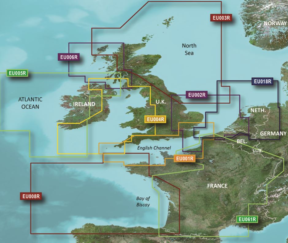
Scottish coast: Covers from the Isle of Lewis and Loch Bervie to the port of Campbeltown and Girvan including Glasgow Ayr and the Isles of Skye Arran and many others.

Please specify your device type when ordering (please enter in the info box during the ordering process).


Disc:
Maps from Garmin are only available on mSD cards. The previously used Garmin modules are no longer available.


As a premium marine chart product g3 charts are available for demanding water sports enthusiasts.

Features:

-Detailed depth contours
-Suggested route
-Depth range shading
-Shallow water shading


Compatibility:
Only Garmin charts can be used with Garmin plotters. Other chart manufacturers do not supply suitable charts.


nvtext_bluechart

Properties "BlueChart g3 Chip Regular HXEU006R-Scotland, West Coast"
Format: mSD-Karte
Size: Regular
Manufacturer "Garmin"

Garmin: Navigationssysteme und Marineelektronik

Garmin Marine ist ein weltweit führender Anbieter von Navigationssystemen und Marineelektronik, die speziell für Segel- und Motorboote entwickelt werden. Das Produktportfolio umfasst GPS-Kartenplotter, Multifunktionsdisplays, Seefunkgeräte, Fishfinder, Autopiloten und Marine-Radarsysteme, die für ihre Präzision und Benutzerfreundlichkeit bekannt sind.

In Kombination mit den digitalen Seekarten von Garmin Navionics können die beliebten Kartenplotter direkt mit den abgestimmten Seekarten betrieben werden. Diese Premium-Karten liefern optimale visuelle Orientierungshilfen, wie hochauflösendes Relief-Shading, 3D-Perspektivansichen, Satellitenbilder oder Echolotbilder.

Mit jahrzehntelanger Erfahrung in der Entwicklung innovativer Technologien sorgt Garmin für zuverlässige und sichere Navigation auf dem Wasser. Die robusten Geräte sind für den Einsatz unter rauen maritimen Bedingungen ausgelegt und bieten modernste Funktionen, die den Komfort und die Sicherheit an Bord erhöhen.

HanseNautic - Ihr zertifizierter Garmin Händler

Als zertifizierter Händler ist unser Yachtelektronik-Experte Marcel Moise Ihr Service-Partner und unterstützt Sie zusammen mit unserem Team zur technischen Beratung, gerne bei Fragen zur Integration neuer Geräte in Ihr bestehendes Bordnetzwerk. Gemeinsam finden wir bestimmt die richtige Navigationselektronik für Ihre Yacht.

Für eine individuelle Angebotsgestaltung schreiben Sie uns gerne über das Kontaktformular, oder rufen einfach direkt bei uns durch:

+49 4351 4698770

Alle Garmin Produkte auf einen Blick

Properties "BlueChart g3 Chip Regular HXEU006R-Scotland, West Coast"
Format: mSD-Karte
Size: Regular

0 of 0 reviews

Average rating of 0 out of 5 stars

Leave a review!

Share your experiences with other customers.


Recommended by NV Charts

-10 %
BlueChart g3 HXEU005R Irland Westküste
Electronic nautical chart for Garmins modern chartplotters.The cartography includes integrated chart areas for a transition-free display information on tides and currents. The highly detailed presenta

€152.99* €170.00* (10.01% saved)
-10 %
BlueChart g3 Chip Regular HXEU004R-Irish Sea
Electronic nautical chart for Garmins modern chartplotters.The cartography includes integrated chart areas for a transition-free display information on tides and currents. Highly detailed the chart im

€152.99* €170.00* (10.01% saved)
-10 %
BlueChart g3 Chip Regular HXEU003R-Great Britain,Northeast Coast
Electronic nautical chart for the modern chart plotters from Garmin. The cartography contains integrated chart areas for a transition-free display information on tides and currents. Due to the ve

€152.99* €170.00* (10.01% saved)
-10 %
BlueChart g3 Chip Regular HXEU002R-S/E England-BeLux Inland
Electronic nautical chart for Garmins modern chartplotters. The cartography contains integrated chart areas for a transition-free display information on tides and currents. The highly detailed pr

€152.99* €170.00* (10.01% saved)

Related products to this item

Gebietsvorschau für CCC Kintyre to Ardnamurchan öffnen
CCC Kintyre to Ardnamurchan
CCC Sailing Directions - Kintyre to Ardnamurchan Das von diesem Führer abgedeckte Gebiet erstreckt sich vom Mull of Kintyre bis zur Halbinsel Ardamurchan und umfasst einige der schönsten Segelgeb

€48.50*

Similar products

BlueChart g3 Chip Regular HXEU021R-Denmark E and Sweden SE
Electronic nautical chart for Garmins modern chartplotters.The cartography includes integrated chart areas for a transition-free display information on tides and currents. The highly detailed presenta

€169.99*
-10 %
BlueChart g3 HXEU019R Nordsee Waddenzee, Deutsche Bucht, Skagen (Alborg - Amsterdam) g3 XEU019R
Electronic nautical chart for Garmin plotters with North Sea coverage from Dutch Waddenzee over the IJsselmeer the German North Sea coast to Northern Denmark (Skagen) with and the inland waters in Fri

€152.99* €170.00* (10.01% saved)
-10 %
BlueChart g3 Chip Regular HXEU018R- Benelux Offshore and Inland Waters
Electronic nautical chart for Garmins modern chartplotters.The cartography contains integrated chart areas for a transition-free display information on tides and currents. The highly detailed presenta

€152.96* €170.00* (10.02% saved)