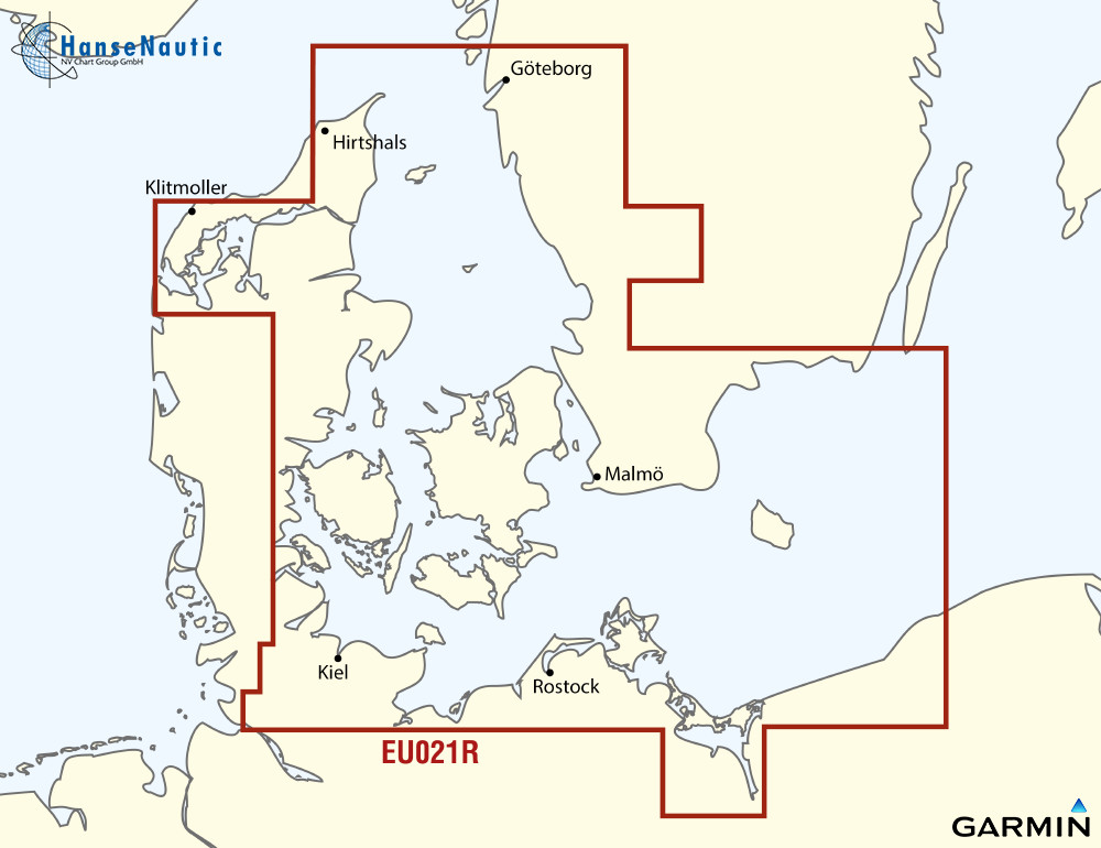
BlueChart g3 Chip Regular HXEU021R-Denmark E and Sweden SE

Chart ID: XEU021R

€139.00*

% €169.99* (18.23% saved)
 
Information about your plotter
Please let us know which plotter you would like to use this product for.
Bitte tragen Sie die Marke und die Modellbezeichnung Ihres Plotters in das Textfeld ein. Wir werden intern prüfen, ob dieses Produkt mit Ihrem Plotter kompatibel ist. Mit dieser Information können wir Fehlbestellungen verringern und Ihnen mitteilen, wenn Sie eventuell ein anderes Produkt für Ihren Plotter benötigen.
Bitte geben Sie eine Telefonnummer an, unter der wir Sie erreichen können, falls Ihre Angaben zum Plotter nicht ausreichen oder Ihr Modell nicht zur gewünschten Karte passt.
Information about your plotter
Share your configuration
 
Product number: 24219

Description

Electronic nautical chart for Garmins modern chartplotters.

The cartography includes integrated chart areas for a transition-free display information on tides and currents. The highly detailed presentation makes the map image very pleasant and complete.

Coverage

Swedish coast: from Gothenburg to Karlskrona including Malmö and Trelleborg as well as Lakes Mjörn and Bolmen. Danish German and Polish coast: Lemvig Denmark to Szczecin Poland including Limfjorden Skagen Den. Copenhagen Den. Stralsund D. and the islands of Sjælland Fünen Møn Falster LollandLangeland and Fehmarn.

Please state your device type when ordering (please enter in the info field during the ordering process).

Data carrier

Maps from Garmin are only available on mSD cards. The previously used Garmin modules are no longer available. As a premium marine chart product g3 charts are available for demanding water sports enthusiasts.

Features

-Detailed depth contours
-Suggested routes
-Depth range shading
-Shallow water shading

Compatibility

Only Garmin charts can be used with Garmin plotters. Other chart manufacturers do not supply suitable charts.


nvtext_bluechart

Format: mSD-Karte
Size: Regular

Recommended by NV Charts

Recommended by NV Charts

-18 %
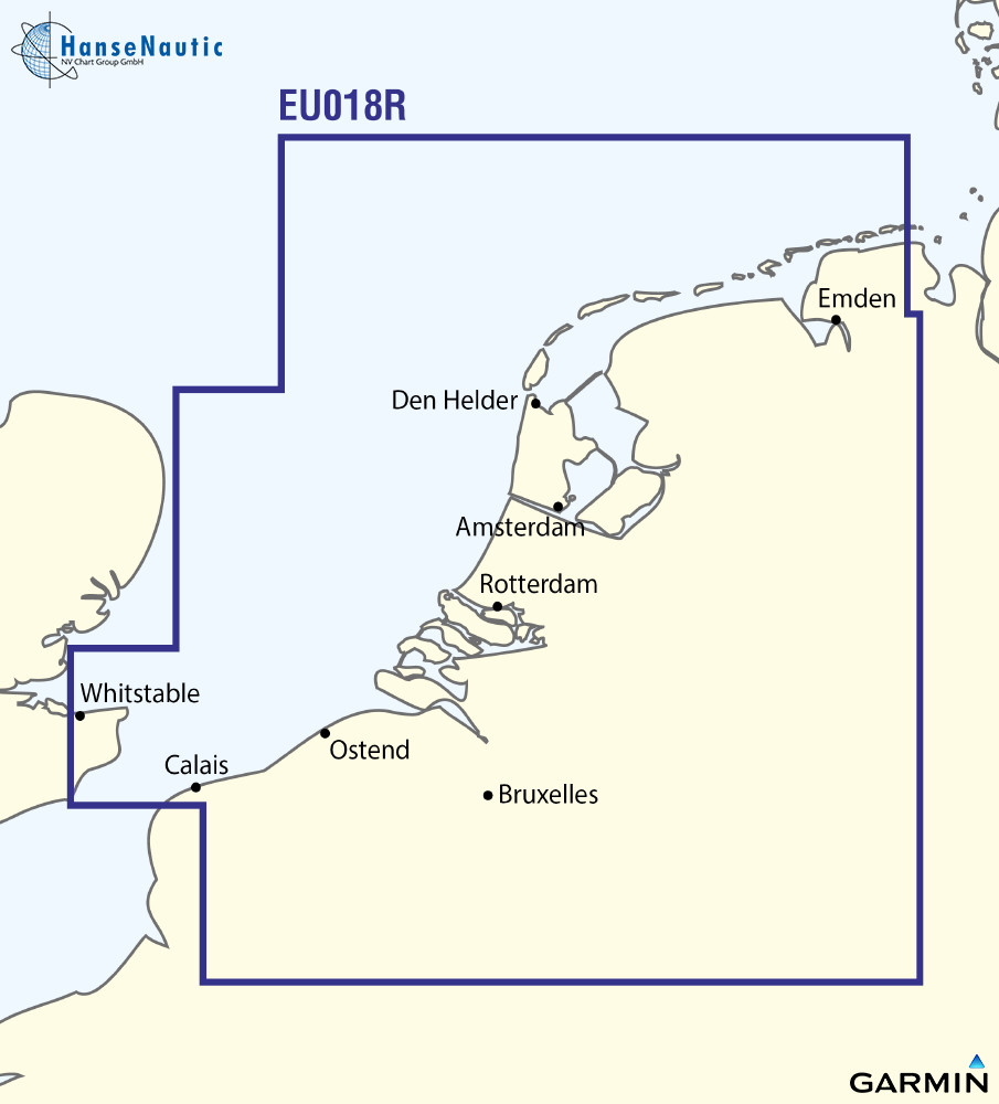
BlueChart g3 Chip Regular HXEU018R- Benelux Offshore and Inland Waters
Electronic nautical chart for Garmins modern chartplotters.The cartography contains integrated chart areas for a transition-free display information on tides and currents. The highly detailed presenta

€139.00* €169.96* (18.22% saved)

Related products to this item

Related products to this item

-12 %
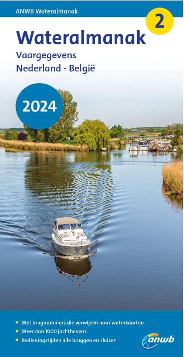
ANWB Wateralmanak 2 (Brückenzeiten)
Wateralmanak 2 Sound signals of the Inland Police (BPR) and the Rhine Police (RPR)This almanac includes the opening hours of all bridges and locks in the Netherlands and Belgium. The&nb

€21.99* €25.00* (12.04% saved)
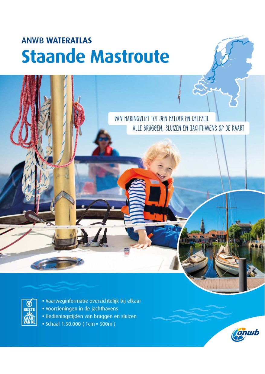
ANWB Staande Mastroute
ANWB Wateratlas Stande Mastroute(Softcover approx. 295x245cm) Haringvliet/Eems-Dollard. Includes the inland route to Den Helder.The standing mast route is the alternative to the North Sea route for No

€21.99*
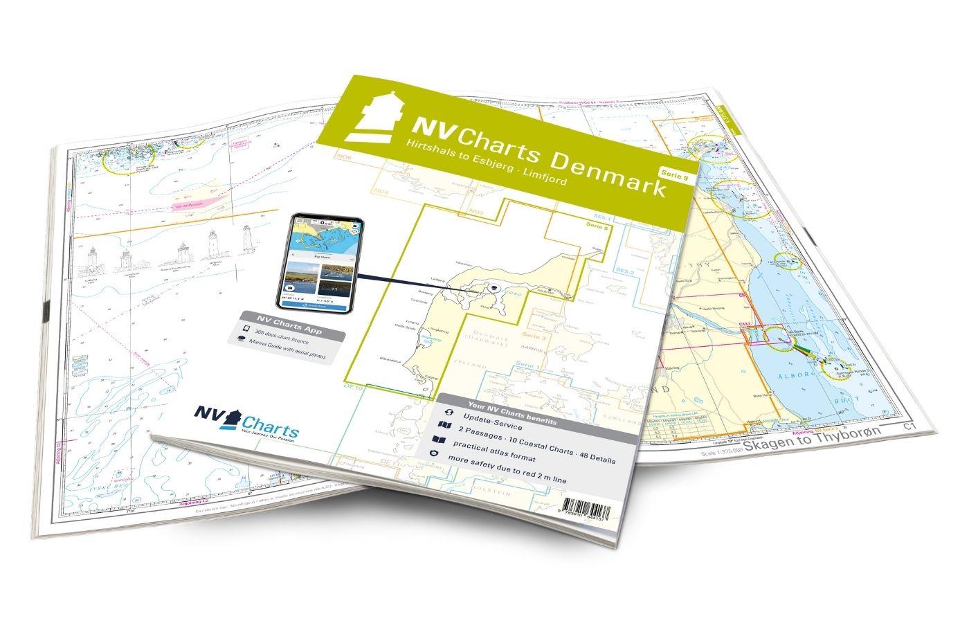
NV Charts Denmark Serie 9 - Hirtshals to Esbjerg & Limfjord
The Danish west coast and the Limfjord are among the most popular holiday regions in the Scandinavian country. The coast is known for its endless, fine sandy beaches. The Limfjord is an elongated soun

€64.99*
Logbuch / Schiffstagebuch NV
The NV Logbook / Ships Diary with the officially prescribed page numbering is clear and practical.The clear division for navigation data with time course sm and remarks on the course of the voyage suc

€15.90*
-26 %
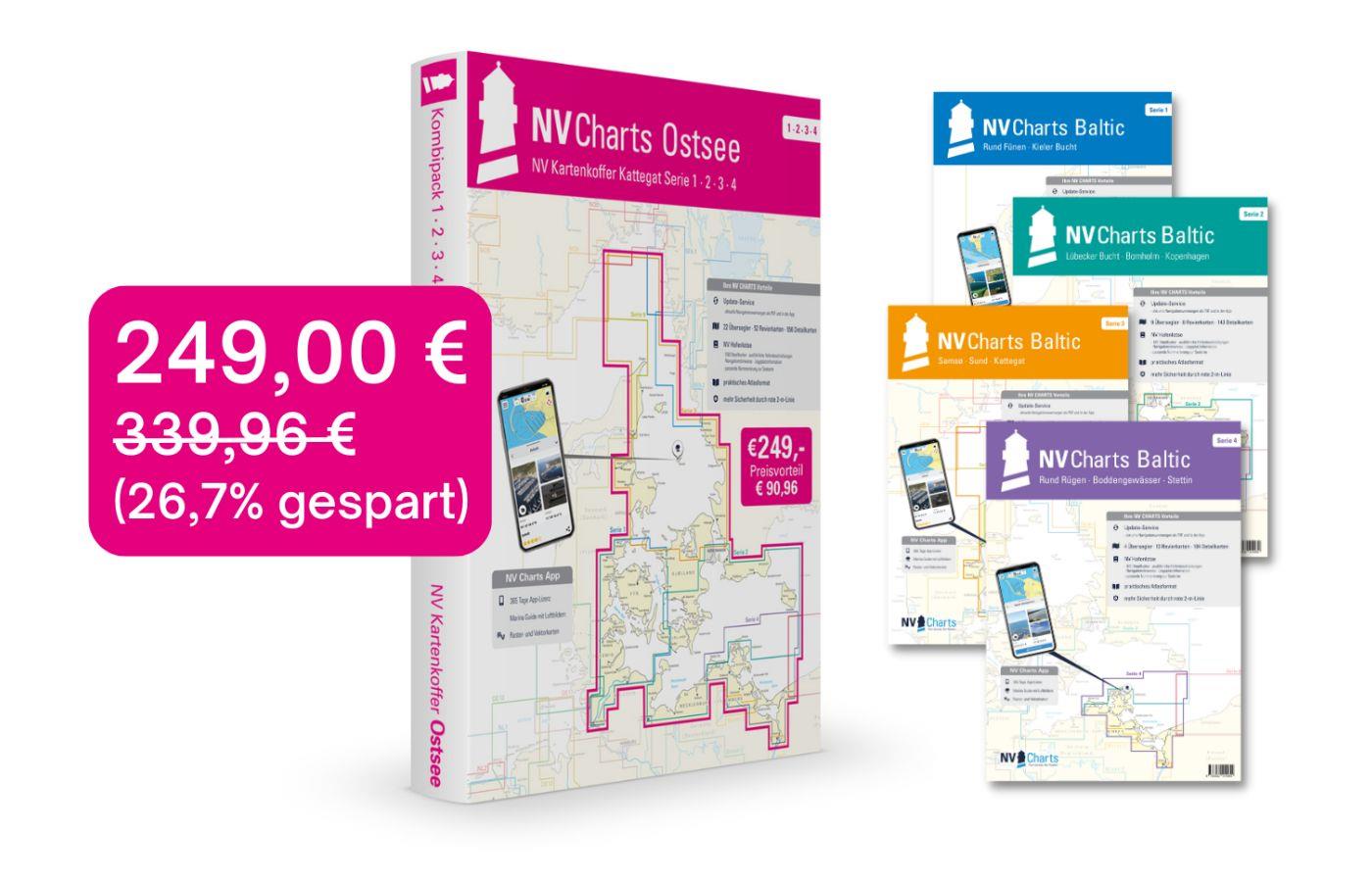
NV Charts Baltic Sea Chart Box incl. Region 1-4
 For all those who like to save and whose district is called the German and Danish Baltic Sea. With the Baltic Sea Case Series 1-4 our single map sets are offered to you at a special price of 198

€249.00* €339.96* (26.76% saved)

Reviews

0 of 0 reviews

Leave a review!

Share your experiences with other customers.