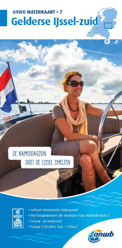
ANWB Waterkaart 7 - Gelderse Ijssel-Zuid

Chart ID: ANWB 7
Scale: 1:50.000

€17.99*


Product number: 30856

Description

ANWB Waterkaart 7 Netherlands inland map for the Gelderse IJssel-zuid area

Gelderland is one of the largest provinces in the Netherlands and is known for its numerous castles and estates as well as the regions magnificent orchards.

Folding map for Dutch inland area double-sided printed in full colour on thin art paper. Landscape format 100 x 70 cm (folded 25 x 12.5 cm). The map includes all navigable waterways and areas of the district. Navigation signs are complete depth indications only sparsely marked. The bridges and structures are partly numbered and refer to the structure numbers of the Wateralmanak 2 . The Wateralmanak 2 is also navigationally necessary for details of marinas and moorings.

  • Dimensions: 100x70 cm
  • Scale: 1:50000
  • In Dutch with Dutch explanation of signs.
  • Reliable and detailed nautical information on the map
  • Comprehensive legend
  • With inset maps of the most important ports and places in a sailing area
  • Overview map
  • The water charts are tear and water resistant

Cover for Waterkaart 7 - Gelderse IJssel-zuid:

Front/Frontside 1:50.000 Kesteren - Rheden Appeldorn
51° 560 N to 52° 181 N
005° 350 E to 006° 39 E
Details: -
Back: Rheden - Doetinchem Deventer - Lochem
51° 55.9 N to 52° 18.2 N
006° 1.8 E to 006° 30.5 E
Details: -

Our recommendation:

For the waters of the northern Netherlands we actually recommend the inland map from nvcharts as they are much more comprehensive and a digital solution is also offered. The Anwb charts are only recommended for water sports enthusiasts who only want to travel a very small area.

ANWB-Water charts

ANWB is a Dutch producer of water charts of all Dutch boating areas including the Dutch coast and the Wadden Sea. A waterway map shows all navigable canals rivers and lakes. The ANWB water charts provide information about marinas moorings trailer ramps bridges locks maximum sailing speeds buoyage and water depths.
Format: Plano & Einzelkarten
Area preview

With the help of our area preview, you can get an impression of which geographical region the product deals with or which areas a nautical chart covers.

Related products to this item

Related products to this item

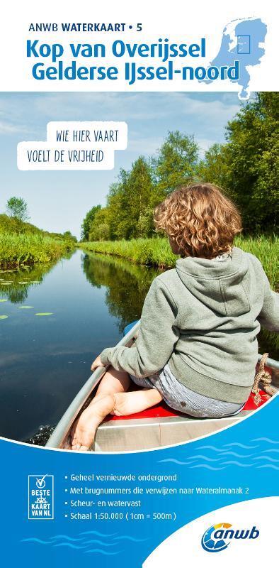
ANWB Waterkaart 5 - Kop van Overijssel / Gelderse Ijssel-Noord
Kop van Overijssel Geldersee Ijssel-noord - Proven Netherlands inland mapThe Kop van Overijssel cruising area easily accessible from the Ijsselmeer is known for its diverse nature. The distances b

€17.99*
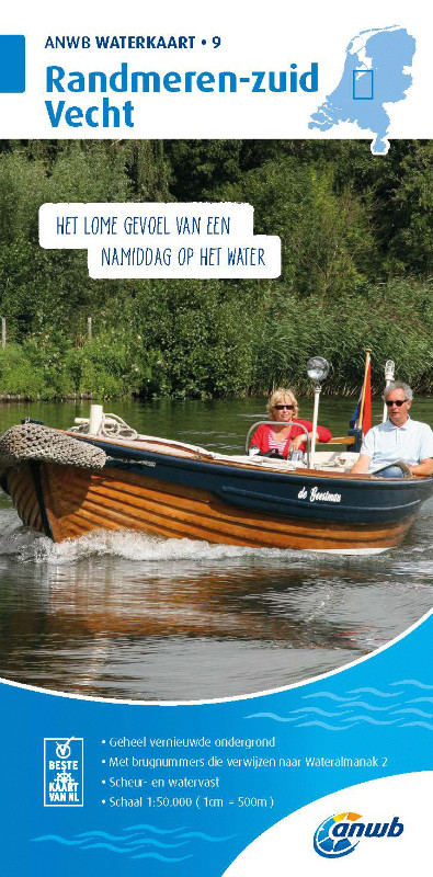
ANWB Waterkaart 9 - Randmeren-Zuid/Vecht
Randmeren-zuid Vecht - ANWB Waterkaart 9Folding map for Dutch inland waterway double-sided full-colour printed on thin art paper. Landscape format 100 x 70 cm (folded 25 x 125 cm). The map includes al

€17.99*
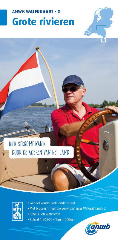
ANWB Waterkaart 8 - Grote Rivieren
ANWB 8: Dutch inland map for Grote RivierenGrote Rivieren - This region is one of the most popular holiday regions in the Netherlands and impresses with its vibrant diversity.Folding map for D

€17.99*
-12 %
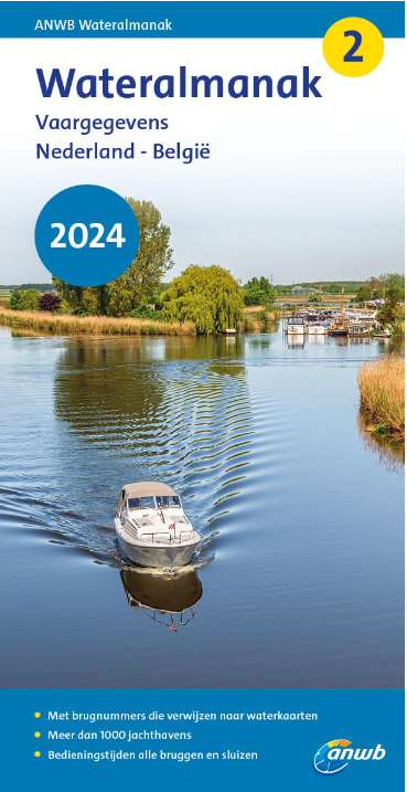
ANWB Wateralmanak 2 (Brückenzeiten)
Wateralmanak 2 Sound signals of the Inland Police (BPR) and the Rhine Police (RPR)This almanac includes the opening hours of all bridges and locks in the Netherlands and Belgium. The&nb

€21.99* €25.00* (12.04% saved)
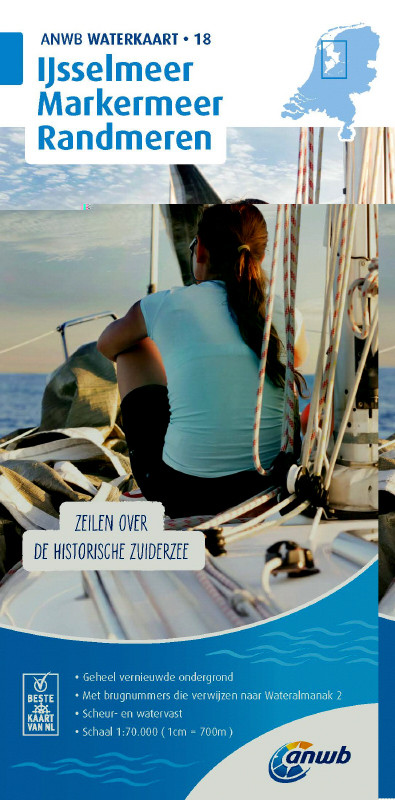
ANWB Waterkaart 18 - Ijsselmeer-Markermeer / Randmeeren
Netherlands inland map IJsselmeer Markermeer RandmerenThe north-eastern province of Drenthe is known for its semi-natural national parks and green landscapes through which navigable waterways run.Fold

€17.99*
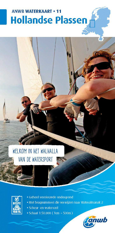
ANWB Waterkaart 11 - Hollandse Plassen
Hollandse Plassen - Best inland map The Hollandse Plassen is also called the sea behind the dikes and is probably the area of the Netherlands with the most windmills. The cruising area is

€17.99*
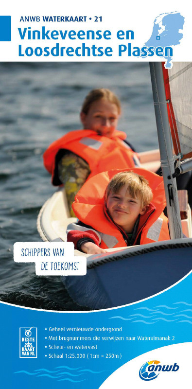
ANWB Waterkaart 21 - Vinkeveense en Loosdrechtse Plassen
Netherlands inland map for Vinkeveense en Loosdrechtse PlassenThis region once characterised by peat extraction is now the destination of water sports enthusiasts from all over Europe.Folding map for

€17.99*

Products near this article

Products near this article

NV Charts Nederland NL6 - Waterkaart Nederland Noord - Friesland - Arnhem
Inland water chart NetherlandsFor the northern part of the inland waters of the Netherlands, the NL6 Waterkaart Nederland North a practical and handy travelling companion. Together with the NL7 (Water

€64.99*
NV Charts Nederland NL7 - Waterkaart Nederland Zuid - Arnhem - Maastricht
For the southern part of the Dutch inland waterways, the NL7 Waterkaart Nederland Zuid is a practical and handy travelling companion. Together with the NL6 (Waterkaart Nederland Nord), the entire inla

€64.99*
NV Charts Nederland NL3 - IJsselmeer & Randmeeren
For a trip through the popular sailing area of the IJsselmeer is the NL3 the right choice. Once you have passed one of the lock gates, nothing stands in the way of an eventful trip. The IJsselmmeer do

Variants from €51.99*
€64.99*
ANWB Waterkaart 5 - Kop van Overijssel / Gelderse Ijssel-Noord
Kop van Overijssel Geldersee Ijssel-noord - Proven Netherlands inland mapThe Kop van Overijssel cruising area easily accessible from the Ijsselmeer is known for its diverse nature. The distances b

€17.99*
ANWB Waterkaart 8 - Grote Rivieren
ANWB 8: Dutch inland map for Grote RivierenGrote Rivieren - This region is one of the most popular holiday regions in the Netherlands and impresses with its vibrant diversity.Folding map for D

€17.99*
ANWB Waterkaart 6 - Twentekanalen
Dutch inland waterway map for the holiday area TwentekanalenThe Dutch inland waterway Twentekanal connects the overijsselsche region with the geldersche Ijssel.Folding map for Dutch inland waterway do

€17.99*
ANWB Waterkaart Nederland
Inland map of the Dutch inland waterwaysFolded map for Dutch inland waterways double-sided printed in full colour on thin art paper. Landscape format 100 x 70 cm (folded 25 x 125 cm). The map includes

€12.99*
ANWB Waterkaart 16 - Noord-Brabant/Maas-Noord
District map for Noord-Brabant/Maas-NoordFolding map for Dutch inland district double-sided full-colour printed on thin art paper. Landscape format 100 x 70 cm (folded 25 x 125 cm). The map includ

€17.99*
ANWB Waterkaart 9 - Randmeren-Zuid/Vecht
Randmeren-zuid Vecht - ANWB Waterkaart 9Folding map for Dutch inland waterway double-sided full-colour printed on thin art paper. Landscape format 100 x 70 cm (folded 25 x 125 cm). The map includes al

€17.99*
ANWB Waterkaart 18 - Ijsselmeer-Markermeer / Randmeeren
Netherlands inland map IJsselmeer Markermeer RandmerenThe north-eastern province of Drenthe is known for its semi-natural national parks and green landscapes through which navigable waterways run.Fold

€17.99*

Reviews

0 of 0 reviews

Leave a review!

Share your experiences with other customers.