C-MAP Discover Mittelmeer & Süd-Europa (Southern Europe) EM-Y045
Description
Electronic nautical chart for the Mediterranean coasts of Southern Europe for use with modern chartplotters from Lowrance Simrad or B&G
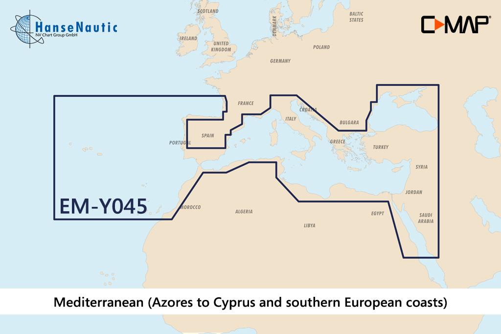
Further development of C-MAP a modern vector chart for travelling to the holiday destinations in Spain France Italy Croatia or Greece to discover the coasts of the Mediterranean Sea with motorboats and sailing yachts. Huge area!
Coverage
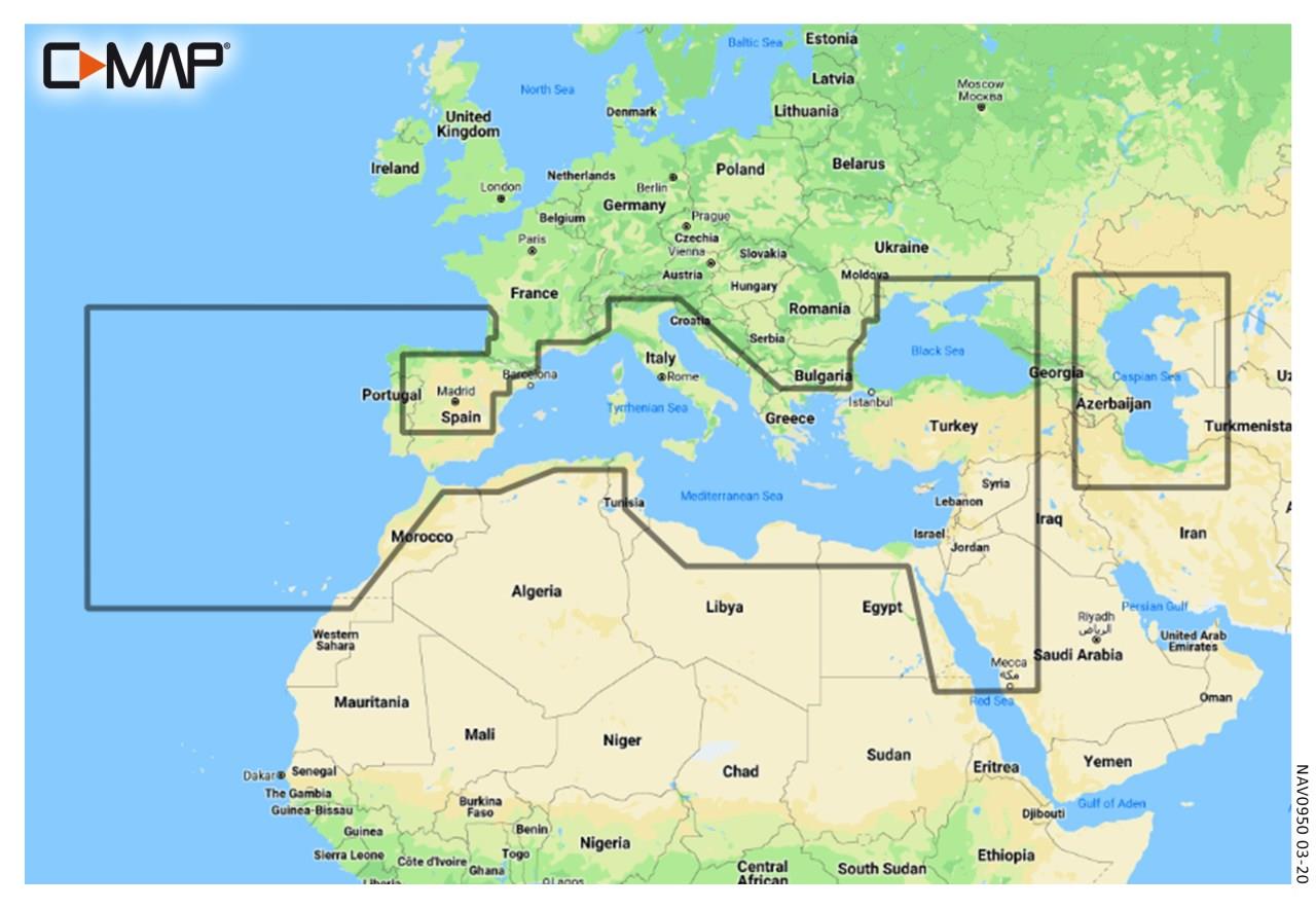
The C-MAP Discover Mediterranean Sea Southern European Coasts is a Continental coverage covering a very large sea area in the Mediterranean Sea as well as the adjacent Atlantic and Black Sea on one map. EN-Y045 covers these coastal sections:
- Atlantic island groups Azores Madeira Canary Islands
- Spanish coast and Balearic Islands
- Corsica and Southern France
- Italy with Sardinia Sicily and many other island groups
- Adriatic coast of Slovenia Croatia Montenegro and Albania
- The Greek areas in the Ionian Sea Aegean Sea Dodecanese Cyclades
- Turkey Cyprus Bospurus and the Black Sea
The electronic sea chart EW-Y045 is the right choice for extensive voyages in the Mediterranean with frequent changes of area. It gives crews the ability to support even longer crossings with electronic navigational information. Even on smaller boats the large coverage allows flexibility in the choice of cruising area.
Media
This C-MAP Mediterranean plotter chart is supplied on an mSD media which is included in an SD card adapter.
Features of the C-MAP Discover
The electronic charts C-MAP Discover are modern vector charts for chartplotters on recreational boats. They contain all nautical information and complete set of navigational indications. With these chartplotters you can plan your voyages on board keep track while cruising and zoom in to details for entering harbours.
Discover charts from C-MAP have the following features:
- All sea charts of the selected area from harbour chart to oversailer
- High resolution bathymetric data shows depth contours condensed to 30cm intervals. This feature can be shown or hidden.
- Tide data incl. high and low tide times as well as current data - A tide calendar and a current atlas are integrated into the chart
- Easy Routing is the function developed by C-MAP which calculates a suggested route using the nautical chart and your boat dimensions especially draught.
Compatibility
The new C-MAP Discover products launched in 2021 are also compatible with all modern chartplotters from Simrad B&G as well as Lowrance as the successor of the MAX-N+ technology. Please check the compatibility list
Revocation excluded
These nautical charts are produced by us for you on customer request in order to always provide you with the most up-to-date data. For this reason, the charts are excluded from exchange and revocation.
| Format: | mSD-Karte |
|---|---|
| Size: | Continental |
With the help of our area preview, you can get an impression of which geographical region the product deals with or which areas a nautical chart covers.
Related products to this item
Products near this article
Reviews
Login

