Portbook Mallorca - Menorca · Ibiza · Formentera

€29.90*


Product number: 29892

Description

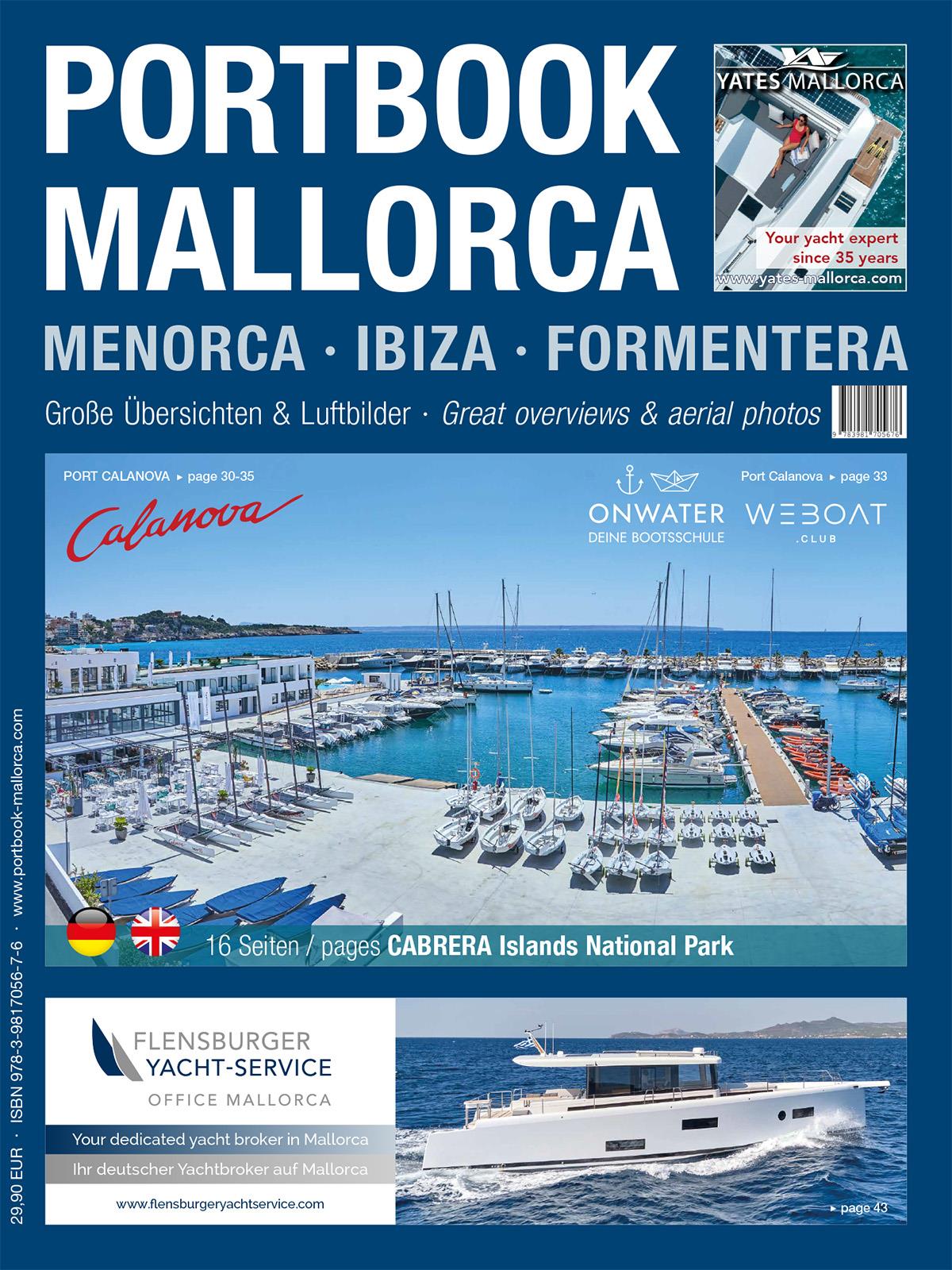
The reliable cruising guide for Mallorca, Menorca, Ibiza and Formentera


The Portbook, the innovative area guide for the Balearic Islands with Mallorca in the centre, was republished in January 2024. Completely revised down to the last detail, with the latest facts and data from autumn 2023, with up-to-date aerial photos and improved harbour plans, maps and texts. With fresh price examples and new restaurant recommendations.
This modern handbook for pleasure boaters shows the uniqueness of the Balearic Islands like no other:

- Large-format satellite images show the location of the islands off the Iberian Peninsula and the distances between them. On the contents page, these images from space provide direct access to large overview pages that precede each coastal section.
- Here you will find all the important harbours and bays at a glance, with aerial photos and a brief description. This allows you to orientate yourself visually and plan your trip better. You can easily see what is coming up.
- Aerial photos also take centre stage when it comes to details. But then in large format so that the skipper and crew can quickly grasp everything important. This is because the information in the text is reflected in the aerial photographs using numbers, letters and symbols.


Cruising suggestions and everything you need to know about sea weather and marinas, anchors and buoy fields round off the port book. As has been the case from the outset, the illustrated book, now almost 400 pages long, is published as a bilingual edition in German and English.

Area preview

With the help of our area preview, you can get an impression of which geographical region the product deals with or which areas a nautical chart covers.

Reviews

1 of 1 reviews

5 out of 5 stars


100%

0%

0%

0%

0%


Leave a review!

Share your experiences with other customers.


23 February 2021 22:15

Super Buch

Sicher mit Abstand das beste Buch wenn man in der Gegend unterwegs ist.

Related products to this item

Related products to this item

New
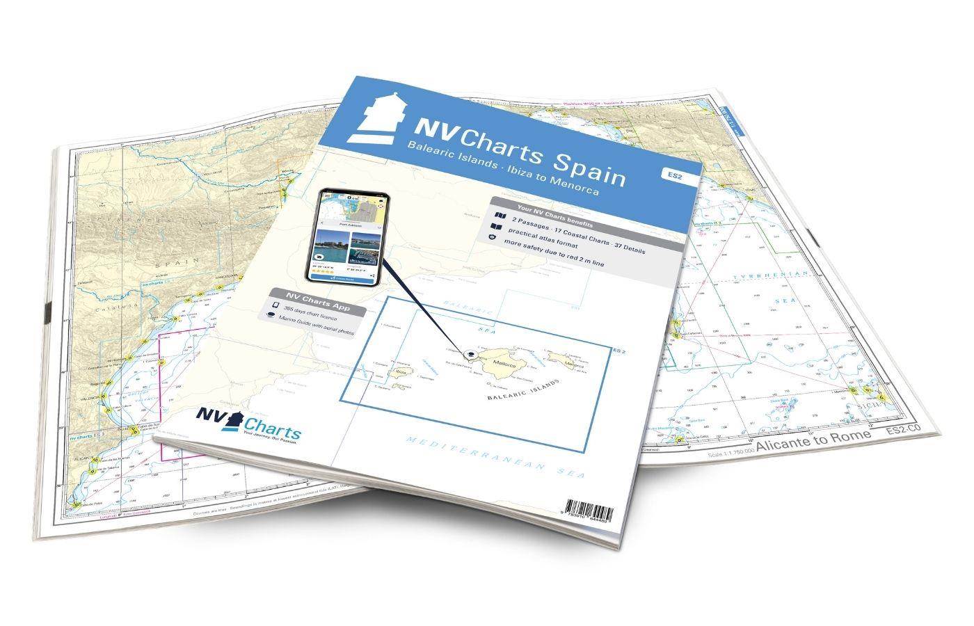
NV Charts Spain ES2 Balearic Islands · Ibiza to Menorca
With the NV Charts Atlas ES2 you have the perfect companion for the Balearic Islands. Thanks to the clear layout, the recreational skipper can quickly find approaches, harbours and anchorages and is i

€64.99*
-5 %
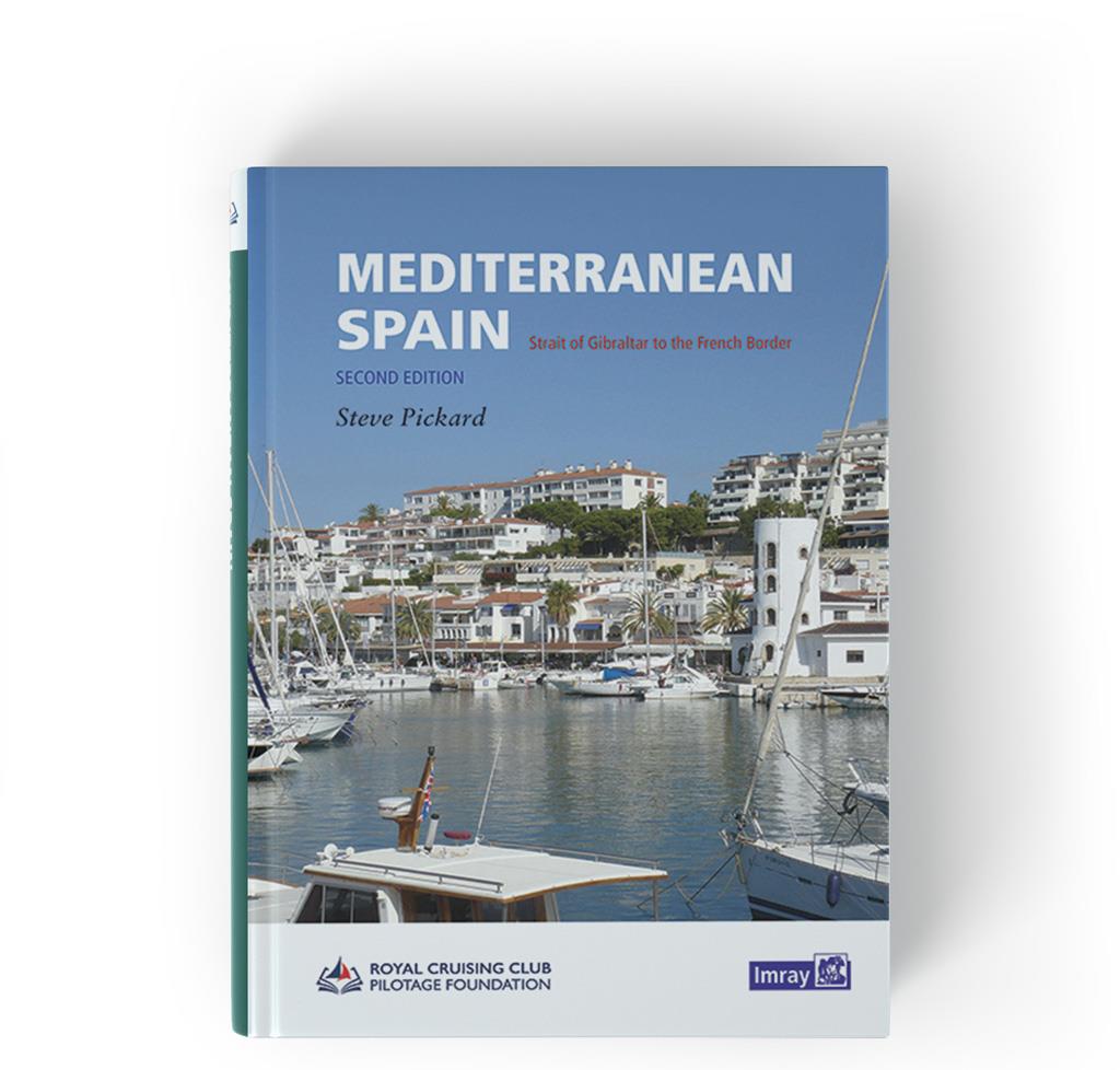
Mediterranean Spain
This new English volume" Mediterranean Spain" replaces the current two-part coverage of Spains Mediterranean coast from Gibraltar to the French border.All the coverage has been revised with updated te

€58.50* €61.60* (5.03% saved)
-5 %
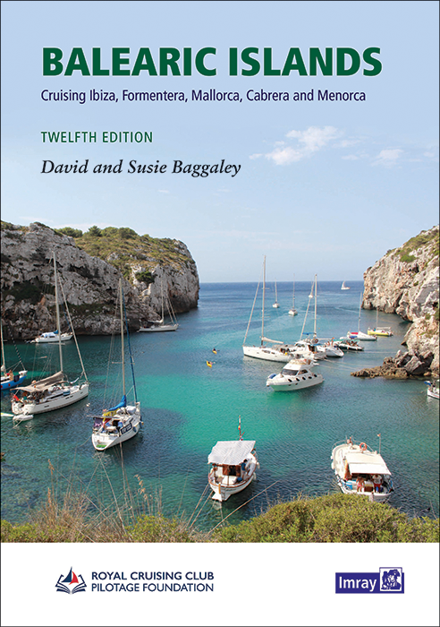
Balearic Islands
On to the Balearic Islands! The cruising guide "Balearic Islands" by Susie and David Baggaley contains detailed descriptions of the three well-known islands Mallorca Menorca and Ibiza but also the les

€58.80* €61.90* (5.01% saved)
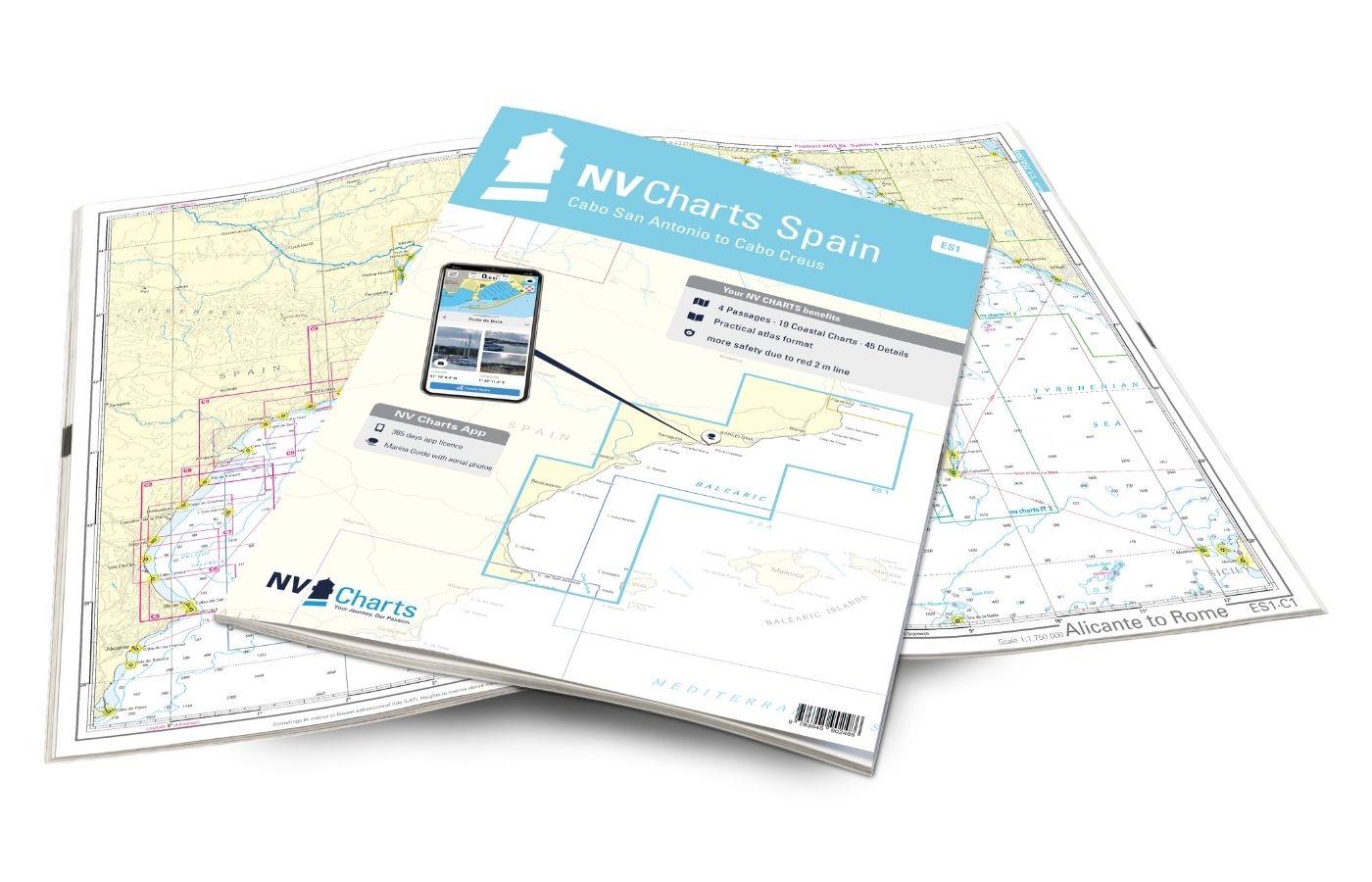
NV Charts Spain ES1 - Cabo San Antonio to Cabo Creus
With the NV Charts Spain Atlas ES1 you can discover the Spanish Mediterranean coast from Cabo San Antonio to (almost) the French border. Thanks to the clear layout, recreational boaters can quickly fi

€64.99*
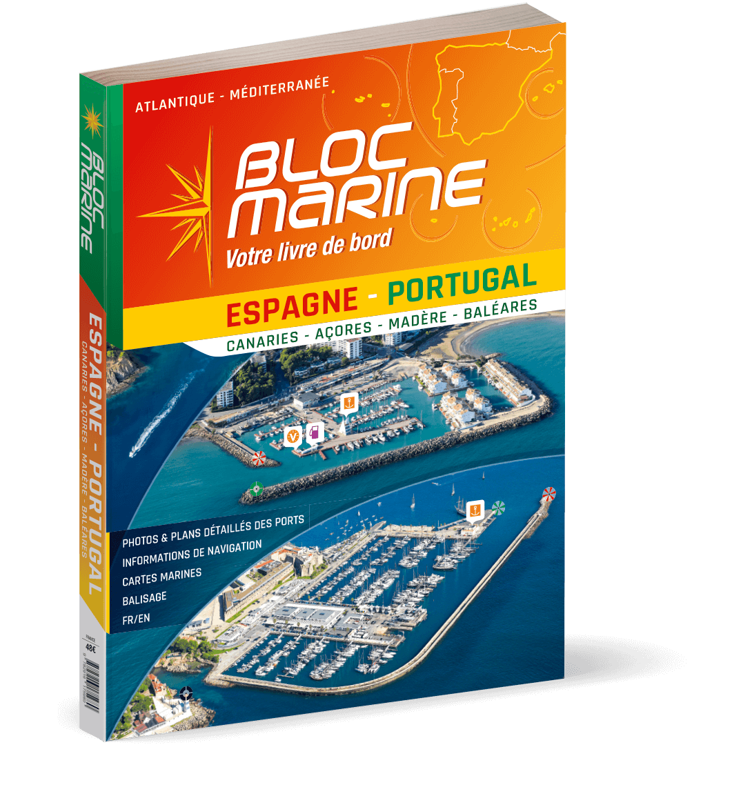
Bloc Marine: Espagne-Portugal
For accurate information on port areas safety at sea and legal requirements in recreational boating the Bloc Marine Espagne-Portugal is a first-class travel companion. It contains more than 350 port p

€48.00*
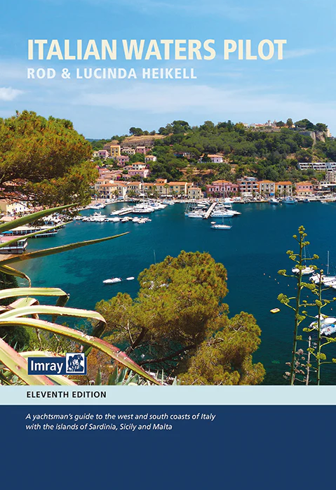
Italian Waters Pilot
Italian Waters Pilot. A cruising guide to the west coast of Italy and Malta in one volume by Rod and Lucinda Heikell.Italian Waters Pilot is the only English-language guide for water sports enthusiast

€59.90*
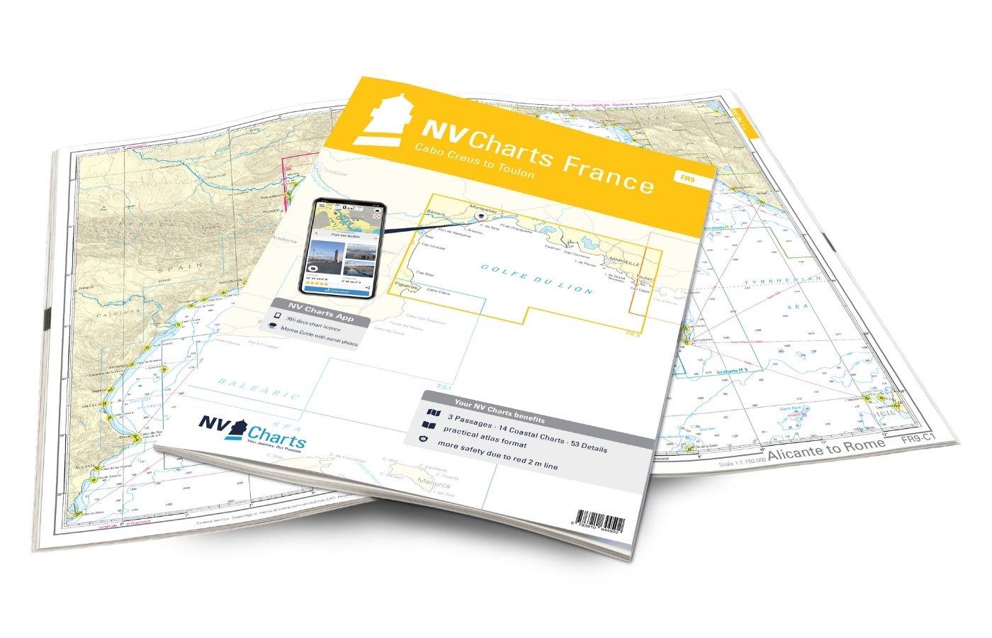
NV Charts France FR9 - Cabo Creus to Toulon
With the NV Charts France Atlas FR9 you have a reliable companion at your side from the northern Mediterranean coast of Spain to Toulon in France. Thanks to the clear layout, recreational boaters can

€64.99*

Products near this article

Products near this article

New
NV Charts Spain ES2 Balearic Islands · Ibiza to Menorca
With the NV Charts Atlas ES2 you have the perfect companion for the Balearic Islands. Thanks to the clear layout, the recreational skipper can quickly find approaches, harbours and anchorages and is i

€64.99*
NV Plottekarten westliches Mittelmeer und Balearen
Maps & port plans of the ES 1 ES 2 ES 3 and FR 9 seriesWith this plotter chip NV Verlag covers the western Mediterranean from Girbaltar to Toulon plus the detailed maps and port plans of the Balearic

€129.99*
NV Charts Spain ES1 - Cabo San Antonio to Cabo Creus
With the NV Charts Spain Atlas ES1 you can discover the Spanish Mediterranean coast from Cabo San Antonio to (almost) the French border. Thanks to the clear layout, recreational boaters can quickly fi

€64.99*
-5 %
Balearic Islands
On to the Balearic Islands! The cruising guide "Balearic Islands" by Susie and David Baggaley contains detailed descriptions of the three well-known islands Mallorca Menorca and Ibiza but also the les

€58.80* €61.90* (5.01% saved)
NV Charts App - Mediterranean Coast West
NV Charts App - Mediterranean Coast West[nvtext_abo_app_iap]This product can only be used in the NV Charts app, it is not compatible with other navigation programs.

€49.90*