C-MAP Discover Antarctica M-AF-Y003
Description
"New huge Continental coverage with all nautical chart information and tide details in MAX-N+"" format for Antarctica (However without the satellite imagery oblique aerial imagery and raster charts usually included in the ""+"" format). Suitable many devices of the NA"
Area preview
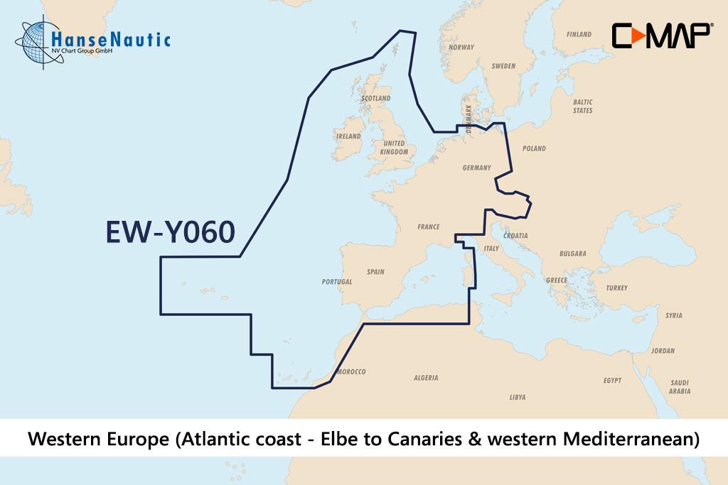
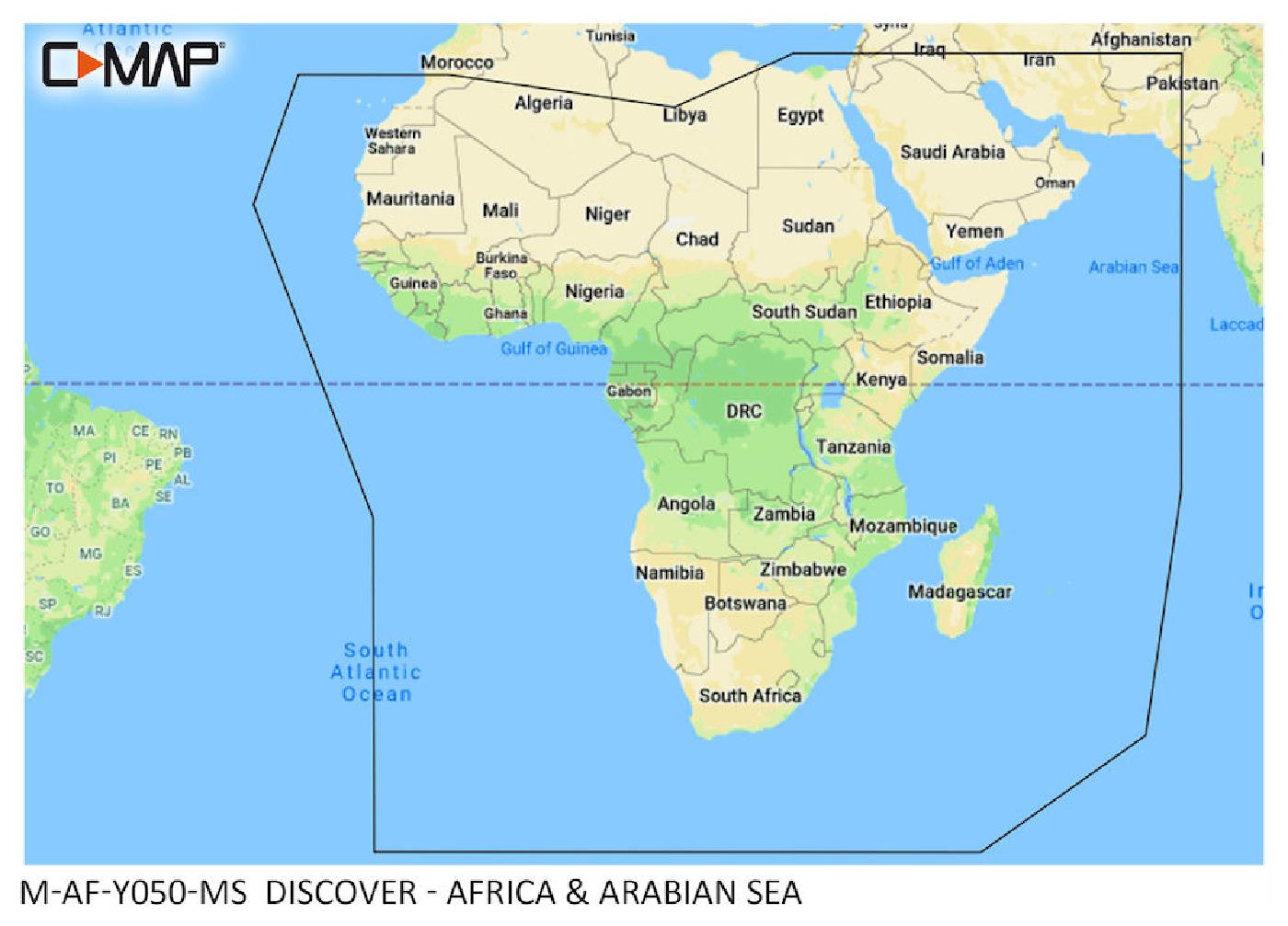
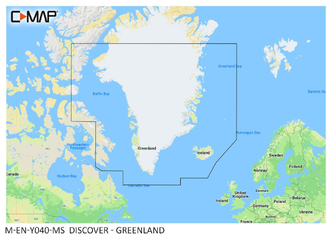
With the help of our area preview, you can get an impression of which geographical region the product deals with or which areas a nautical chart covers.
Charts
Reviews
Login


