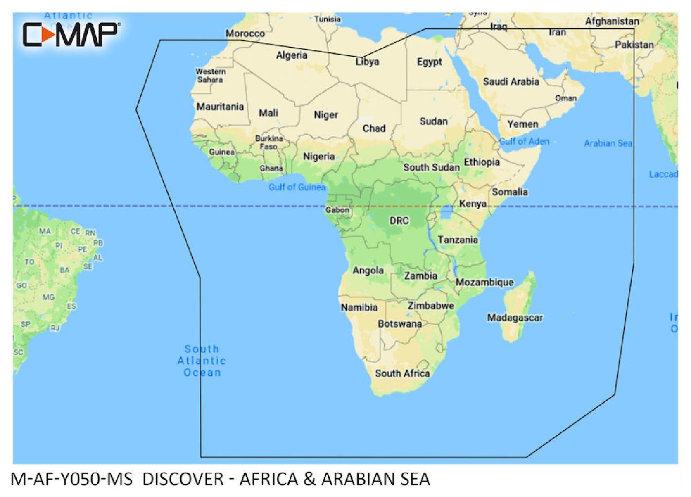
C-MAP Discover Africa & Arabic Sea M-AF-Y050

€219.00*


Product number: 31809

Description

"New huge Continental coverage with all nautical chart information and tide details in MAX-N+"" format for (However without the satellite imagery oblique aerial imagery and raster charts usually found in the ""+"" format). Suitable many devices of the N"
Area preview

With the help of our area preview, you can get an impression of which geographical region the product deals with or which areas a nautical chart covers.

Other customers bought also

Other customers bought also

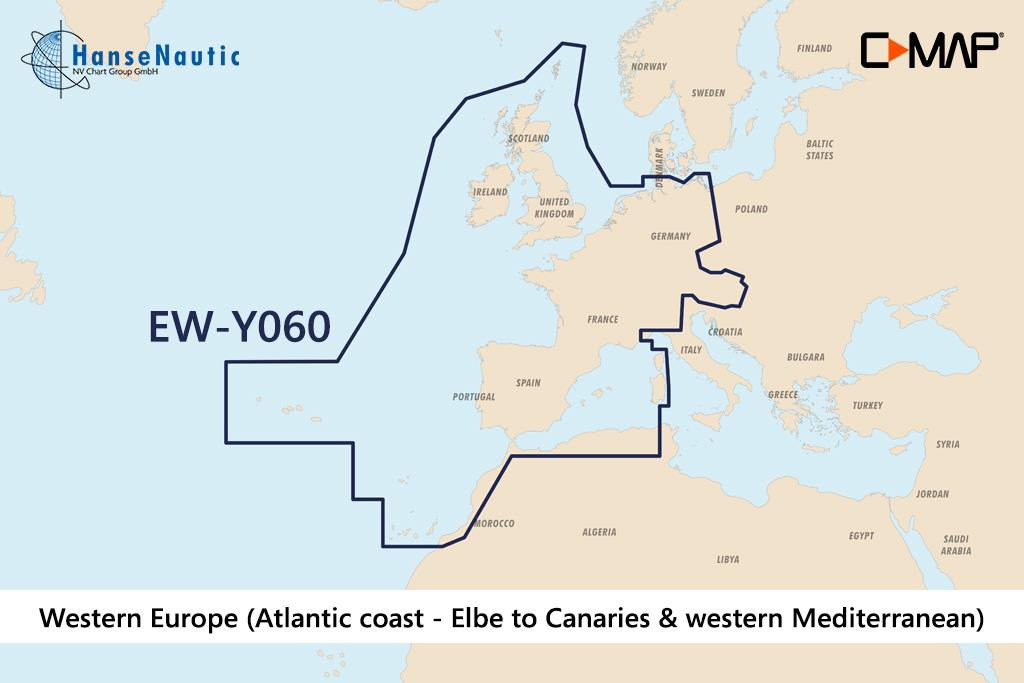
C-MAP Discover Westeuropa (Atlantikküste v. Elbe bis Kanaren u. westl. Mittelmeer) EW-Y060
Electronic chart of Western Europe from Hamburg to Canary Islands and inland waters from Berlin to Marseille for modern chartplotters from Lowrance Simrad or B&GFurther development of C-MAP a mode

€219.00*
C-MAP Discover Antarctica M-AF-Y003
"New huge Continental coverage with all nautical chart information and tide details in MAX-N+"" format for Antarctica (However without the satellite imagery oblique aerial imagery and raster charts us

€219.00*
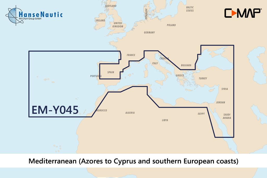
C-MAP Discover Mittelmeer & Süd-Europa (Southern Europe) EM-Y045
Electronic nautical chart for the Mediterranean coasts of Southern Europe for use with modern chartplotters from Lowrance Simrad or B&GFurther development of C-MAP a modern vector chart for travel

€219.00*

Reviews

0 of 0 reviews

Leave a review!

Share your experiences with other customers.