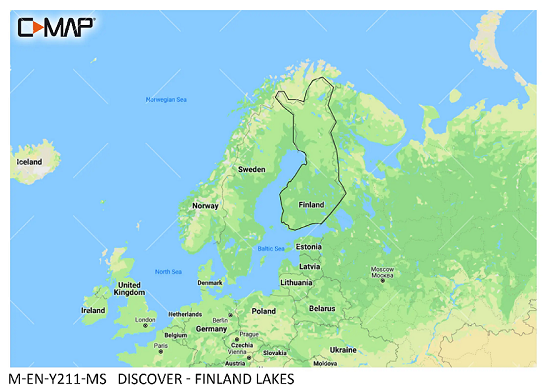
C-MAP Discover Finland Lakes M-EN-Y211

€139.00*

% €153.51* (9.45% saved)
 
Information about your plotter
Please let us know which plotter you would like to use this product for.
Bitte tragen Sie die Marke und die Modellbezeichnung Ihres Plotters in das Textfeld ein. Wir werden intern prüfen, ob dieses Produkt mit Ihrem Plotter kompatibel ist. Mit dieser Information können wir Fehlbestellungen verringern und Ihnen mitteilen, wenn Sie eventuell ein anderes Produkt für Ihren Plotter benötigen.
Bitte geben Sie eine Telefonnummer an, unter der wir Sie erreichen können, falls Ihre Angaben zum Plotter nicht ausreichen oder Ihr Modell nicht zur gewünschten Karte passt.
Information about your plotter
Share your configuration
 
Product number: 31846

Description

"New huge Continental coverage with all nautical chart information and tide details in MAX-N+"" format for (However without the satellite imagery oblique aerial imagery and raster charts usually found in the ""+"" format). Suitable many devices of the N"
Area preview

With the help of our area preview, you can get an impression of which geographical region the product deals with or which areas a nautical chart covers.

Other customers bought also

Other customers bought also

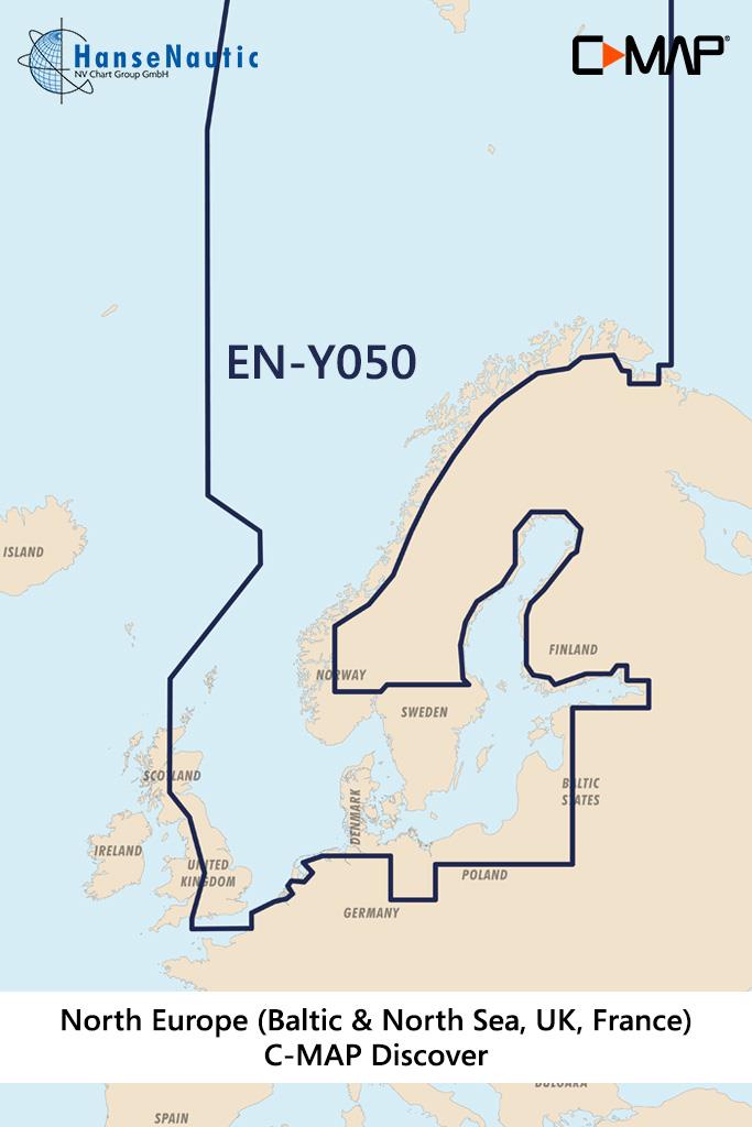
Gebietsvorschau für C-MAP Discover Nordeuropa & Ostsee (Northern & Central Europe) EN-Y050 öffnen
-9 %
C-MAP Discover Nordeuropa & Ostsee (Northern & Central Europe) EN-Y050
Electronic nautical chart of the sea areas of the Baltic Sea and North Sea as well as Scandinavia for modern chartplotters from Lowrance Simrad or B&GFurther development of C-MAP a modern vector c

€199.00* €220.15* (9.61% saved)
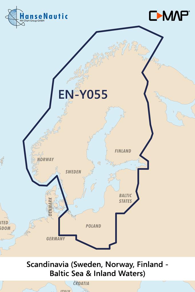
Gebietsvorschau für C-MAP Discover Skandinavien (Schweden, Norwegen, Finnland - Ostsee u. Binnengewässer) EN-Y055 öffnen
C-MAP Discover Skandinavien (Schweden, Norwegen, Finnland - Ostsee u. Binnengewässer) EN-Y055
Electronic nautical chart for Scandinavian coasts and inland areas for use with modern chartplotters from Lowrance Simrad or B&GFurther development of C-MAP a modern vector chart for travelling to

€219.00*
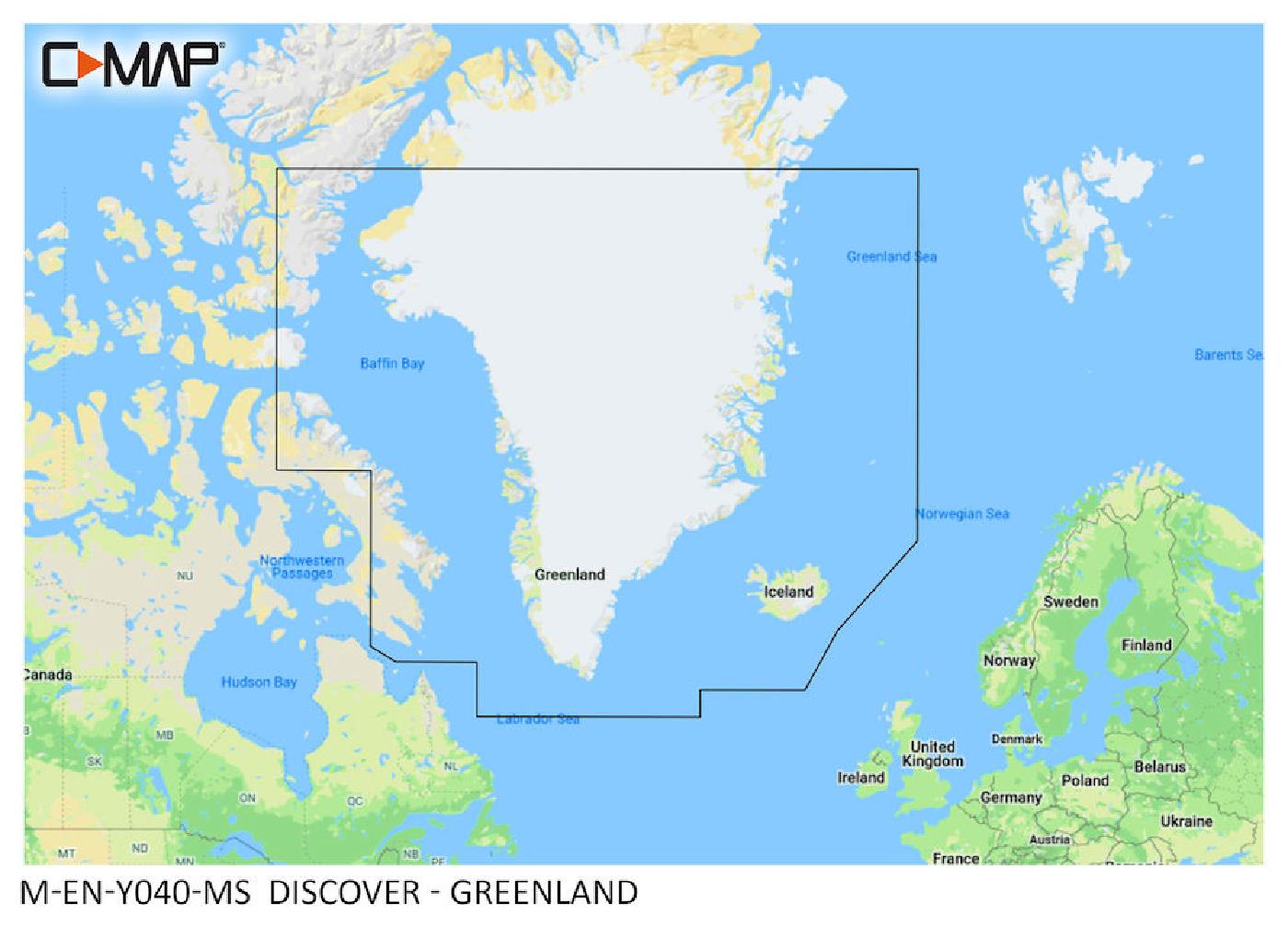
Gebietsvorschau für C-MAP Discover Greenland M-EN-Y040 öffnen
C-MAP Discover Greenland M-EN-Y040
"New huge Continental coverage with all chart information and tide details in MAX-N+"" format for Greenland. (However without the satellite imagery oblique aerial imagery and raster charts usually fou

€219.00*

Reviews

0 of 0 reviews

Leave a review!

Share your experiences with other customers.