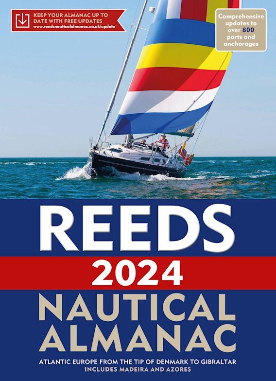
Reeds Nautical Almanac 2024

€59.00*


Product number: 35619

Description

The comprehensive cruising guide for the North Sea, British Isles and European Atlantic coast offers all the information you need in a compact almanac, from passage planning and up-to-date port plans to actual charts and high tide times.


In a quick and clear manner, the reader will find more than 700 detailed harbour and marina plans with information on supply possibilities. In addition to route descriptions, the respective beacons and tide tables are included. Some of the many illustrations and plans are even in colour.


Region and coverage


This Nautical Almanac provides all the nautical information a skipper needs on the shipping routes of the European Atlantic, the British Isles and the North Sea. Divided into 26 sections, it covers the entire European coastline from Skagen in Denmark to the Straits of Gibraltar: Denmark, Germany, the Netherlands, Belgium, the British Isles, the English Channel and the Atlantic coasts of France, Spain and Portugal, as well as the Azores and Madeira.
The book includes the "Reeds Marina Guide 2024" with a directory of marinas, suppliers and service providers. The Marina Guide covers the UK, Ireland and the Channel Islands.


Contents


• 700 Port Maps
• Tide tables & currents
• Buoys & Beacons
• 7,500 Landmarks
• Route descriptions
• Distance tables
• Radio telephony, marine weather and safety information
• First aid section
• Free Marina Guide included


Format: Softcover / Taschenbuch
Language: Englisch
Region: Grossbritannien, Europa, Frankreich, Englischer Kanal, Nordsee, Irland
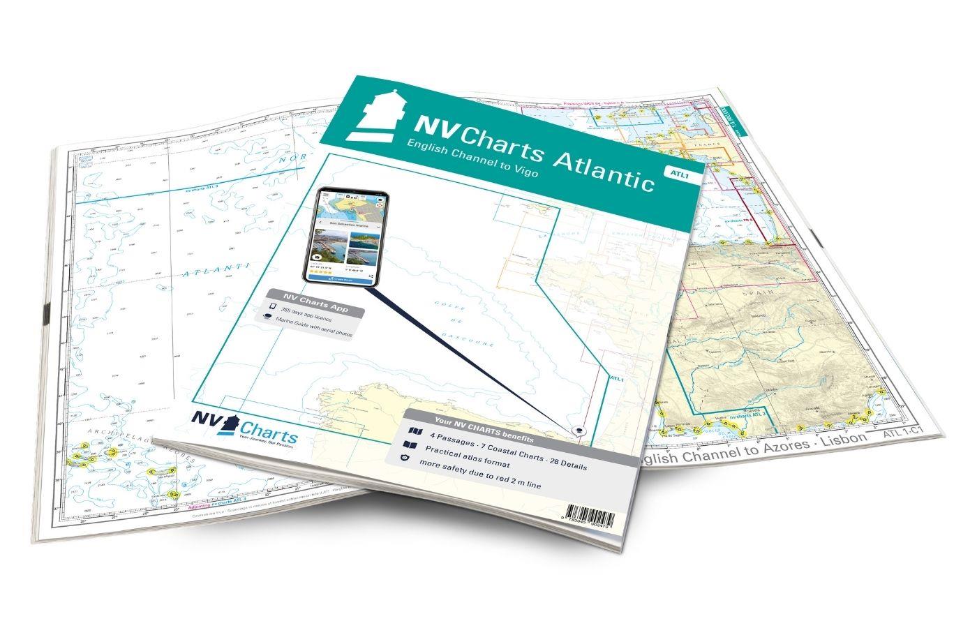
Area preview

With the help of our area preview, you can get an impression of which geographical region the product deals with or which areas a nautical chart covers.

Related products to this item

Related products to this item

Gezeitenkalender 2024
The BSH tidal calendar contains the important tidal information for the German North Sea coast.The high tide and low tide times for the German Bight and its river areas are presented in tabular f

€3.15*
Tide tables 2024: European waters
Nautical publication with all tidal information and its forecasts as well as instructions for use for the tidal ranges in Europe. The "Gezeitentafeln 2024: Europäische Gewässer" (Tide Tables for

€27.00*
Gebietsvorschau für NV Charts Nederland NL1 - Borkum naar Oostende öffnen
NV Charts Nederland NL1 - Borkum naar Oostende
The NV Charts Nederland NL1 Oostende naar Borkum  is a chart series specially designed for recreational boating and contains the nautical charts in various sizes, as well as all harbour plans and

Variants from €51.99*
€64.99*
-4 %
ANWB Wateralmanak 1 2023/2024
Available at the end of MarchMandatory equipment in the NetherlandsThe Wateralmanak 1 contains all the legal requirements for the Netherlands and Belgium that must be carried along when sailing there.

€20.90* €21.99* (4.96% saved)
Gebietsvorschau für NV Charts England UK4 - Selsey Bill to London öffnen
NV Charts England UK4 - Selsey Bill to London
The NV Charts England UK4 takes you past the historic North Foreland into the centre of London - or further west along the coast and towns such as Eastbourne and Brighton. Our charts are bas

€64.99*
Gebietsvorschau für Shell Channel Pilot öffnen
Shell Channel Pilot
English Channel Cruising GuideThe "Shell Channel Pilot" cruising guide is suitable for all water sports enthusiasts who wish to explore the English Channel on both the French and English sides. It cov

€50.50*

Reviews

0 of 0 reviews

Leave a review!

Share your experiences with other customers.


Gebietsvorschau für CCC Orkney and Shetland Islands including North & Northeast Scotland öffnen
CCC Orkney and Shetland Islands including North & Northeast Scotland
A cruising guide to the Orkney and Shetland Islands which includes Fair Isle. This cruising guide also covers the "jumping off ports" on the south side of the Pentland Firth and the Scottish main

€48.50*
Gezeitentafeln 2025: Europäische Gewässer
Nautical publication with all tidal information and its forecasts as well as instructions for use for the tidal ranges in Europe. The "Gezeitentafeln 2025: Europäische Gewässer" (Tide Tables for

€28.00*
Gebietsvorschau für CCC Kintyre to Ardnamurchan öffnen
CCC Kintyre to Ardnamurchan
CCC Sailing Directions - Kintyre to Ardnamurchan Das von diesem Führer abgedeckte Gebiet erstreckt sich vom Mull of Kintyre bis zur Halbinsel Ardamurchan und umfasst einige der schönsten Segelgeb

€48.50*
Gebietsvorschau für Atlantic France öffnen
Atlantic France
For those water sports enthusiasts who would like to explore the French Atlantic coast this cruising guide is an extremely helpful travel companion. It covers the coast from lAberwrach at the north-we

€63.50*
Gebietsvorschau für Gezeitenstromatlas NP251 North Sea, Southern Part öffnen
Gezeitenstromatlas NP251 North Sea, Southern Part
Tidal streams diagrams include detailed tidal stream direction and strength information. They show at a glance the direction and rate of tidal streams display neap and spring tidal rates in tenths of

€33.90*
Lochs and lights
An illustrated book of the west coast of mainland Scotland by Patrick Roach and Gordon Buchanan.Lochs and Light' is an illustrated book of stunning aerial photographs of the west coast of Scotland, on

€14.80*
Gebietsvorschau für East & North Coast of Ireland öffnen
East & North Coast of Ireland
A sailing guide to the north-east coast of IrelandFrom Kilmore Quay and Carnsore Point north via Malin Head to Bloody Foreland. This 13th fully revised edition of the East & North Coasts of Ireland Sa

€48.50*
Gebietsvorschau für Törnführer Holland 1 öffnen
Törnführer Holland 1
Revierinformationen für den südlichen Teil der Niederlande mit TörnbeschreibungenDer Törnführer Holland 1 gibt wertvolle nautische Informationen zu den Binnengewässern im Südteil der Niederlande und i

€39.90*
Gebietsvorschau für Atlantic Spain & Portugal öffnen
Atlantic Spain & Portugal
This book by Hernry Buchanan is a most suitable travel companion for anyone drawn to the Atlantic coast of Spain and Portugal. It covers the area from Cabo Ortegal in Galicia and then goes through Por

€61.50*
Reeds Eastern Almanac 2025
Detailed guide to the east coast of England to the Shetland Islands and the North Sea coast of the Netherlands and Belgium.A great aid for watersports enthusiasts in a handy spiral binding. Extracted

€50.10*
Gebietsvorschau für Gezeitenstromatlas NP250 The English Channel öffnen
Gezeitenstromatlas NP250 The English Channel
BA NP250 Tidal Stream Atlas: The English ChannelTidal streams diagrams include detailed tidal stream direction and strength information. They show at a glance the direction and rate of tidal streams d

€33.90*
Gebietsvorschau für Törnführer Nordseeküste 2; Elbe bis Sylt öffnen
Törnführer Nordseeküste 2; Elbe bis Sylt
Touring Guide North Sea Coast 2 Elbe to SyltWhoever goes boating in the Wadden Sea on the German North Sea coast will be rewarded with special experiences and impressions. The rugged nature and fallin

€39.90*