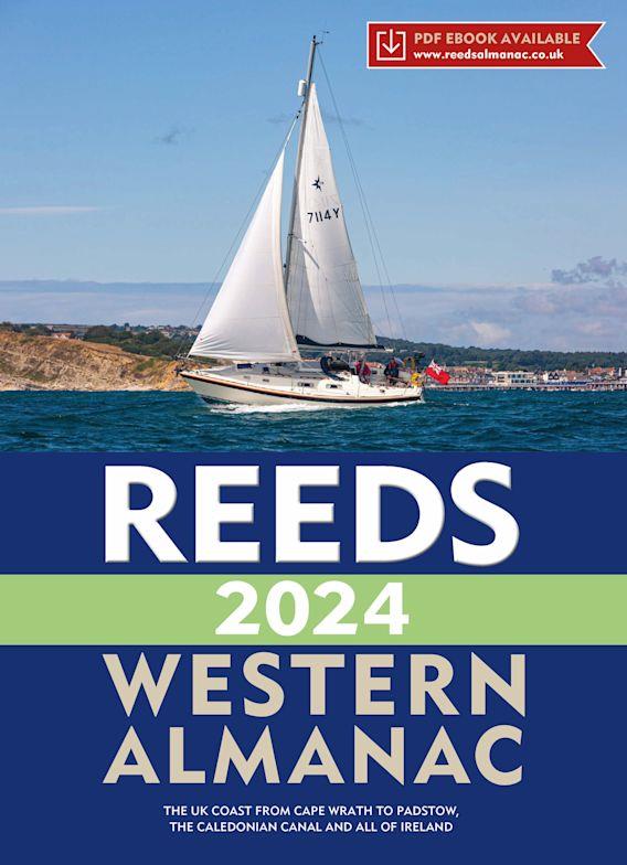
Reeds Western Almanac 2024
Description
Detailed guide to the west coast of England and Scotland as well as Ireland, Wales and the Irish Sea to Land's End.
A great help for water sports enthusiasts in a handy spiral binding. Extracted from the large "Reeds Nautical Almanac" with full details - the coverage is limited to the West Coast of England and the Irish Sea, Ireland itself and Wales. The book includes numerous colour map drawings and tables.
Area and coverage
The Reeds Western Almanac is divided into six sections. Parts one to four cover the west coast from Scotland in the north to Wales/Cornwall in the south. Parts five and six cover the island of Ireland. The individual sections correspond to the contents of the Reeds Nautical Almanac 2024.
The book includes the "Reeds Marina Guide 2024" with a directory of marinas, suppliers and service providers. The Marina Guide covers the UK, Ireland and the Channel Islands.
Contents
• Port maps
• Tide tables & currents
• Buoys and Beacons
• Landmarks
• Route descriptions and passage planning tips
• Distance tables
• Radio telephony, marine weather and safety information
• Free Marina Guide included
| Format: | Spiralbindung |
|---|---|
| Language: | Englisch |
| Region: | Grossbritannien, Irische See, Irland |
Other customers bought also
Reviews
Login


