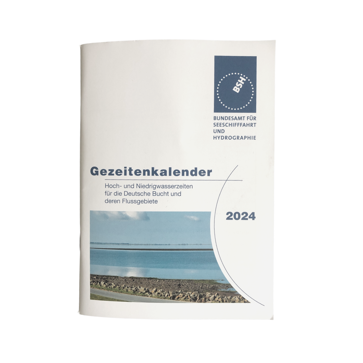
Tide tables 2024: European waters
Description
Nautical publication with all tidal information and its forecasts as well as instructions for use for the tidal ranges in Europe.
The "Gezeitentafeln 2024: Europäische Gewässer" (Tide Tables for European Waters) are published annually by the Federal Maritime and Hydrographic Agency (BSH) for the North Sea, the British Isles and Ireland, and the Atlantic coast of Europe. Detailed tidal information for the entire year is given for 38 reference sites (see list below). The tide tables are an important source of information for water sports enthusiasts and professional sailors alike, and as a nautical publication they are also part of the equipment recommendations in accordance with SOLAS specifications. The tide tables are published as a single colour printed booklet in A4 format, approx. 230 pages in German with additional instructions in English.
Contents
The nautical publication "Gezeitentafeln 2023: Europäische Gewässer" begins after an introduction and overview charts with small-step instructions on the tidal background, meteorological influences and the calculation of tides at reference and connection points. So even inexperienced skippers can safely integrate the use of the tide tables into their daily routine on board.
In addition to the tide prediction in height and time, the estimation for any time between high and low tide is also dealt with in detail.
Also, there is an English-language manual.
The annually recalculated tide tables are divided into five sections
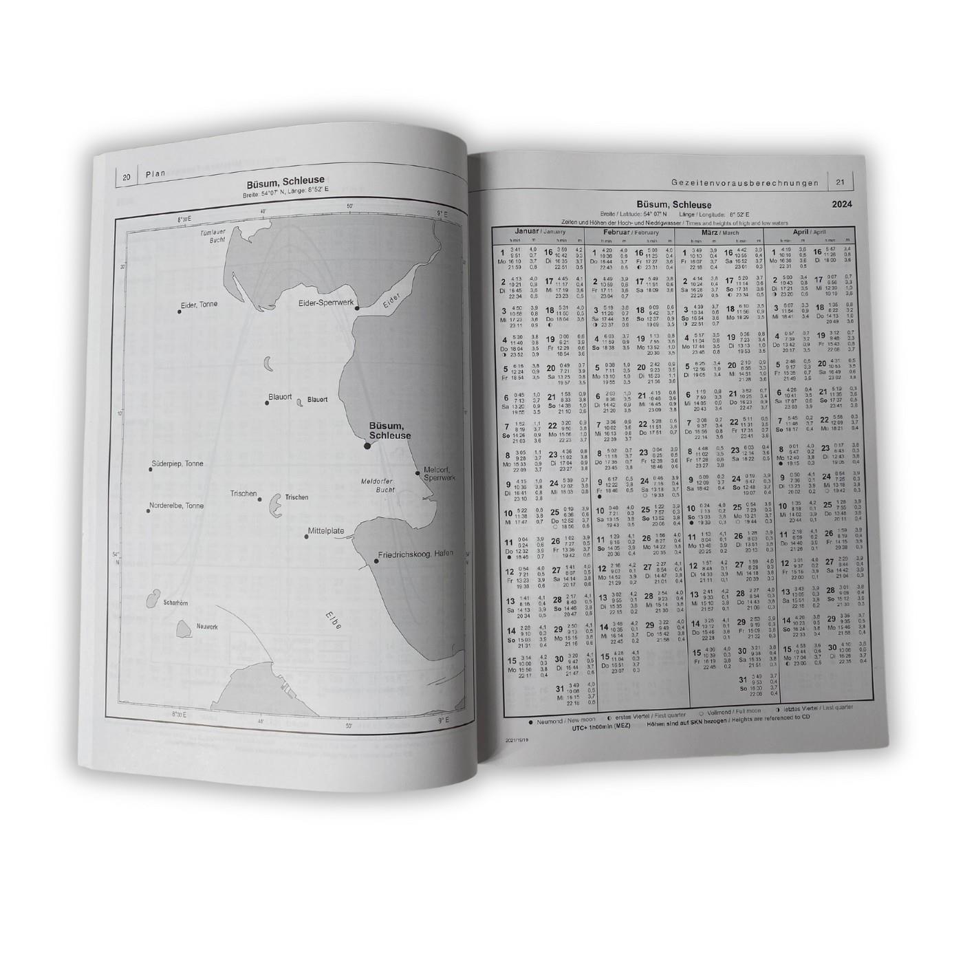
- Detailed predictions for the European reference sites - Each reference site is shown on a map together with the connecting sites, the high and low tide times for each day from 1 January to 31 December are tabulated together with the height of the tide, and finally an average tide curve is shown as a graph, which allows the tide height at any given time to be read in relation to the high tide.
- Tidal differences for the European connection points - Divided into the different sea areas, more than 700 connection points are indicated with the respective reference point and the mean time differences and mean height differences.
- Mean high and low tide values for German locations on the North Sea coast, the islands and in the estuaries of the major rivers.
- Support tables and river maps include moon phases, spring, midday and neap tides for the year as well as maps for the Ems, Weser and Elbe with graphical representation of the high and low water time differences in the course of the river.
- For the North Sea and British waters, the tide charts create lines of equal high tide time differences and equal spring and neap tide ranges, among other things, and support the calculation.
Coverage
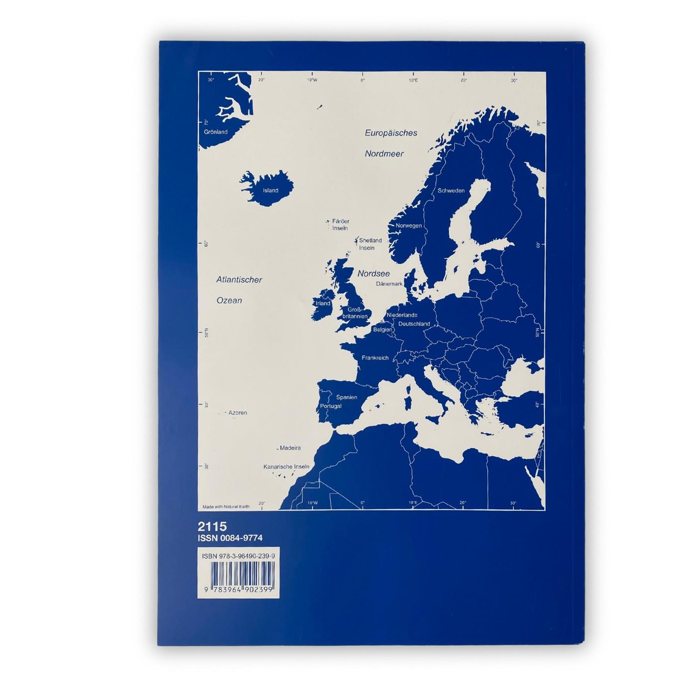
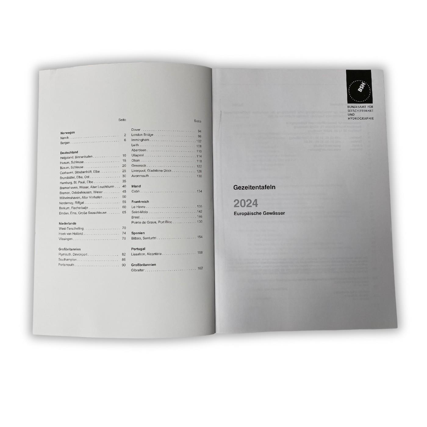
The tidal range of the Atlantic coast of Europe from Norway to the Canary Islands is included in the tide tables. In this list you will find the reference locations, for each of which detailed information on high and low tide times and the respective height of the tide is provided. For more than 700 reference locations, the tidal differences can be used to calculate the local information on high and low tide.
- Aberdeen
- Avonmouth
- Bergen
- Bilbao, Santurtzi
- Borkum, Fischerbalje
- Bremen, Weser, Oslebshausen
- Bremerhaven, Weser, Old lighthouse
- Brest
- Brunsbüttel, Elbe, Pier 1
- Büsum, Harbour lock
- Cobh
- Cuxhaven, Elbe Steubenhöft
- Dover
- Emden, Ems, Great harbour lock
- Gibraltar
- Greenock
- Hamburg, St. Pauli
- Helgoland, inland port
- Hoek van Holland
- Husum, Harbour lock
- Immingham
- Le Havre
- Leith
- Lissabon, Naval Dockyard
- Liverpool, Gladstone Dock
- London Bridge
- Narvik
- Norderney, Riffgat
- Oban
- Plymouth, Devonport
- Pointe de Grave, Port Bloc
- Portsmouth
- Saint-Malo
- Southampton
- Ullapool
- Vlissingen
- West-Terschelling
- Wilhelmshaven, Old outer harbour
Correction and new editions
The BSH tide tables are published annually in late summer and are valid for the coming year. Changes and corrections are published on the homepage of the Federal Maritime and Hydrographic Agency.
Since only the high and low tides from 1 January to 31 December are given, the new edition must be used after the end of the year.
Other customers bought also
Reviews
Login

