Wegepunkte der Ostsee

Edition: 2024
Edition Date: 29.01.2024

€15.90*


Product number: 4100

Description

Complete list of all waypoints recorded in the NV Charts Baltic Regions 1 - 4 for the Baltic Sea.

The small booklet Waypoints Baltic Sea lists all waypoints recorded by the cartographers of the NV Charts in chart sets 1 to 4. The publication is revised annually and is reissued in spring together with the recreational boat chart sets. 44 pages with explanatory text in German.

Tips for navigation

The waypoints are selections of buoys approaches or corner points at safe water depths suitable for recreational boating. Positions are in degrees and minutes to 2 decimal places. This gives a tolerance of 35m. Sea marks are usually laid with a tolerance of 50m.
To transfer a desired waypoint from the nautical chart to your electronic navigation type the coordinates from the booklet into the unit and start the waypoint navigation. You save yourself the manual tapping of the coordinates in the nautical chart when setting up the route plan.

Using NV Charts waypoints also in the chart plotter

Sailing yachts that are equipped with a chart plotter can import the NV Charts waypoints into the device in one go. Then when planning a route waypoints along a route can be taken from the NV.Atlas nautical charts and selected directly in the chart plotter. It couldnt be easier.
Please check the route between waypoints to ensure you are always in safe (and deep) waters.

Waypoints.gpx


  • Clever combination of NV Charts with electronic navigation on board yachts
  • All waypoints in one file. Waypoints for series 5.1 5.2 (Sweden) as well as 6 (Poland to Latvia) also included in the download.
  • Compatible with all modern chartplotters of the brands B&G Simrad Lowrance Raymarine Furuno and Garmin
  • independent of the electronic chart in the chart plotter
  • Fast waypoint navigation with GPS plotter
  • Annually new edition and correction during the season
  • Free download possible here on the homepage

To install the waypoints on board in the chart plotter please follow the instructions:

  1. Download Waypoints2024.gpx here
  2. Save the file on a blank mSD or SD card
  3. Insert the memory card into your chart plotter
  4. Use the import function to save the waypoints in the chart plotter

Special case navigation software NV Chart Navigator

Note: Loading the waypoints file only works with Chart Navigator Standard and Professional.
Instructions: Click on the download button for the txt file (approx. 300 KB) and save the file on your computer. Right-click on the file and select "extract all". Save the extracted file on your computer. In Chart Navigator go to File > Import > Select file and then open the waypoints file (txt file) from the location where you saved it when you extracted it.

Waypoints.txt


Update and Updates

The Waypoints Baltic booklet is published annually in a new and revised form. Changes during the season are published via the NV Charts correction service. Register your current charts with the NV Charts Update Service. For more information see here.

Format: Softcover / Taschenbuch

Related products to this item

Related products to this item

Gebietsvorschau für NV Charts Baltic Sea Chart Box incl. Region 1-4 öffnen
-26 %
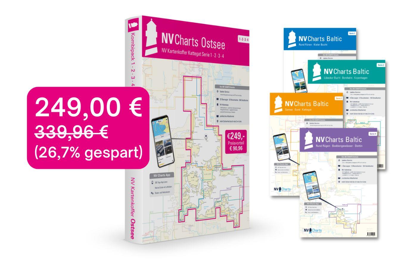
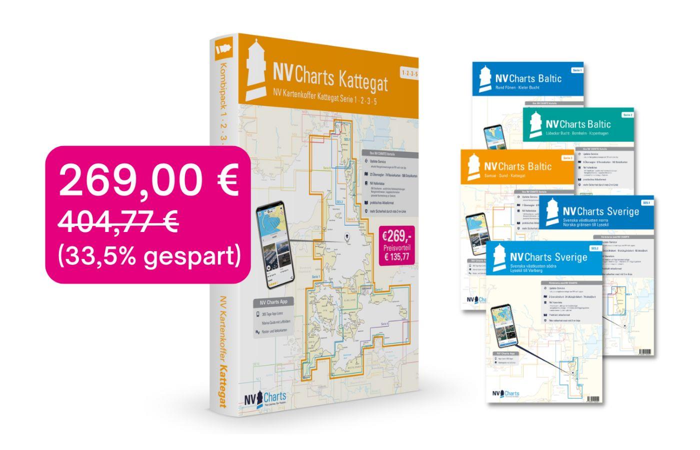
NV Charts Baltic Sea Chart Box incl. Region 1-4
 For all those who like to save and whose district is called the German and Danish Baltic Sea. With the Baltic Sea Case Series 1-4 our single map sets are offered to you at a special price of 198

€249.00* €339.96* (26.76% saved)
Gebietsvorschau für NV Charts Baltic Chart Box incl. Region 1 to 4, Single Charts öffnen
-26 %
NV Charts Baltic Chart Box incl. Region 1 to 4, Single Charts
The NV Charts Baltic Plano chart case for the Baltic Sea Your combination product from series 1, 2 and 3 covers the areas of the German and Danish Baltic Sea. This has the advantage that you can store

€249.00* €339.96* (26.76% saved)
Logbuch / Schiffstagebuch NV
The NV Logbook / Ships Diary with the officially prescribed page numbering is clear and practical.The clear division for navigation data with time course sm and remarks on the course of the voyage suc

€15.90*

Reviews

0 of 0 reviews

Leave a review!

Share your experiences with other customers.


Gebietsvorschau für NV Charts Baltic Region 4 - East Germany Rügen to Szczecin, Single-Charts öffnen
NV Charts Baltic Region 4 - East Germany Rügen to Szczecin, Single-Charts
The NV Charts Baltic Series 4 Plano for the sea area Round Rügen - Bodden Waters - Szczecin is a chart series specially designed for recreational boating. It contains the nautical charts in various si

Variants from €59.99*
€74.99*
Gebietsvorschau für NV Pilot 1, planning chart Baltic Sea - Kristiansand to Helsinki öffnen
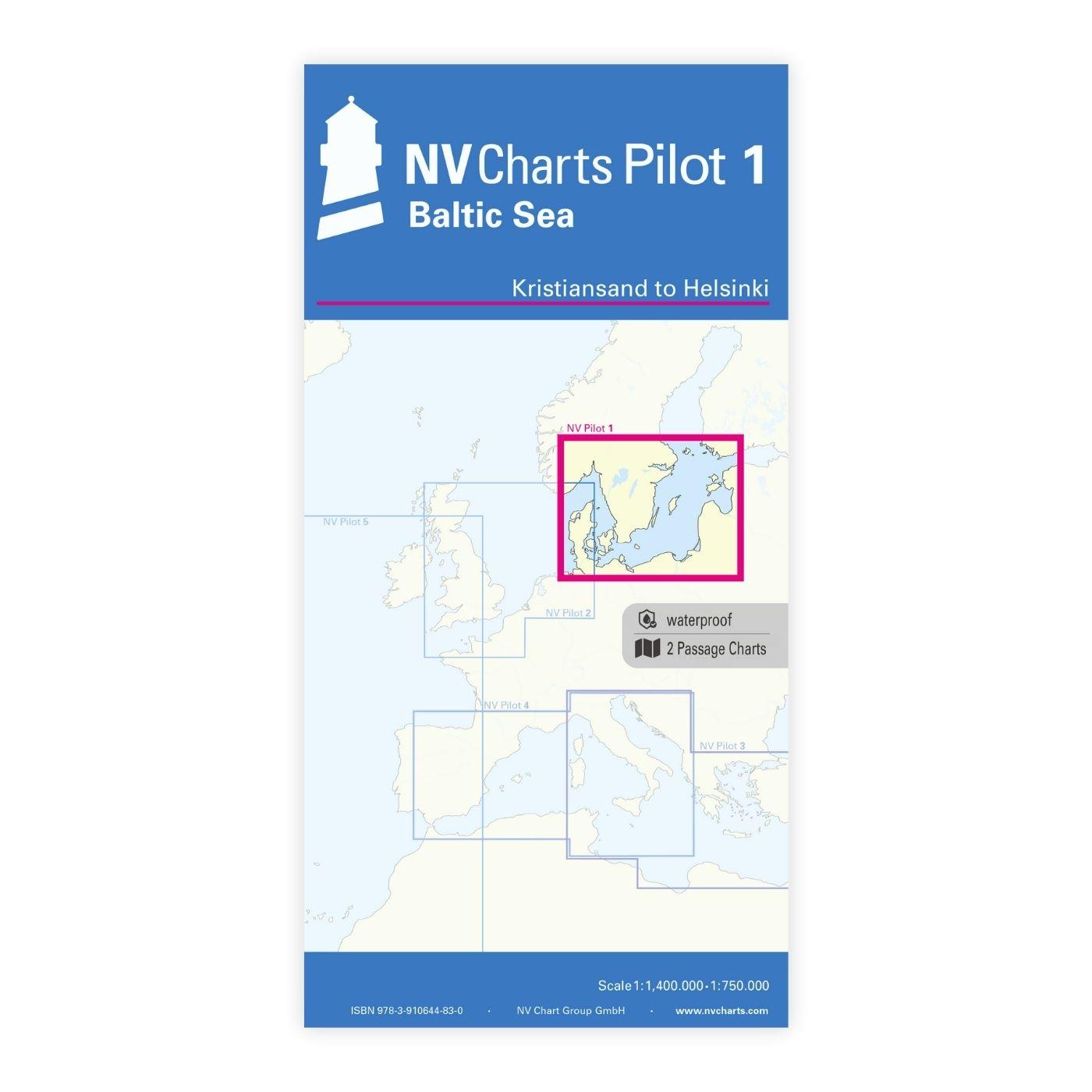
NV Pilot 1, planning chart Baltic Sea - Kristiansand to Helsinki
NV Pilot 1, planning chart Baltic Sea - Kristiansand to HelsinkiThe Pilot 1 from NV Charts is an indispensable planning chart if you want to prepare for a Baltic Sea cruise. This chart for this popula

€24.99*
Gebietsvorschau für Törnführer Dänemark 2; Fünen - Seeland - Lolland - Falster - Møn - Bornholm öffnen
Törnführer Dänemark 2; Fünen - Seeland - Lolland - Falster - Møn - Bornholm
Funen - Zealand - Lolland - Falster - Møn - BornholmSailing through the Danish archipelago - dream cruises from the Danish South Sea to BornholmThe east of Denmark is the ideal area for sailing beginn

€39.90*
Gebietsvorschau für Törnführer Ostseeküste 2 - Wismar bis Stettin öffnen
Törnführer Ostseeküste 2 - Wismar bis Stettin
With the Baltic Sea Coast Sailing Guide Sailing in Störtebekers Fairway Out of the Wismar Bay which is part of the Bay of Mecklenburg and leads past historic Hanseatic towns seaside resorts and id

€39.90*
Gebietsvorschau für NV Charts Baltic Region 3 - Samsø - Sund - Kattegat öffnen
NV Charts Baltic Region 3 - Samsø - Sund - Kattegat
The handy pleasure craft charts for the sea area Samsø - Sund - Kattegat are a chart series specially designed for recreational boating. It contains the nautical charts in various sizes, as well as al

Variants from €59.99*
€74.99*
Gebietsvorschau für NV Charts Baltic Region 2 Lübeck - Bornholm - Copenhagen öffnen
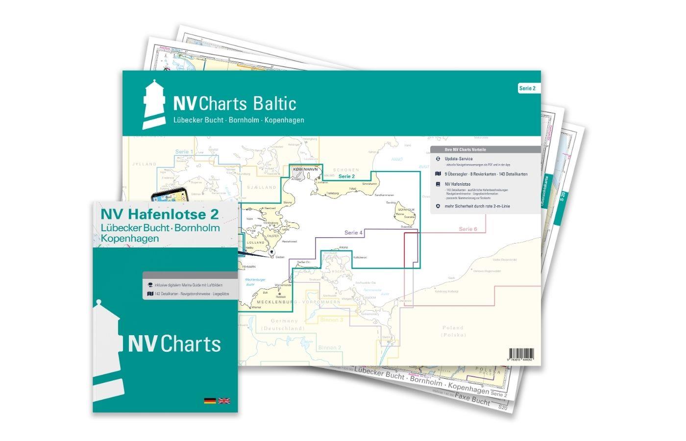
NV Charts Baltic Region 2 Lübeck - Bornholm - Copenhagen
The handy pleasure craft charts for the sea area Bay of Lübeck - Bornholm - Copenhagen are a chart series specially designed for recreational boating. It contains the nautical charts in various sizes,

Variants from €75.99*
€94.99*
Gebietsvorschau für NV Einzelkarte S4 Flensburger Förde öffnen
NV Einzelkarte S4 Flensburger Förde
Double-sided nautical chart Flensburg. Chart sheet from NV Series 1 "Kiel Bight - Around Fyn".

€14.99*
Gebietsvorschau für NV Einzelkarte S3 Kieler Bucht Süd/West öffnen
NV Einzelkarte S3 Kieler Bucht Süd/West
Single-sided chart sheet from the NV Series 1 "Kiel Bight - Around Fyn". Single charts from the Baltic Sea series 1 to 4 are available from special areas. Regatta charts for the Kieler Woche the Flens

€14.99*
Gebietsvorschau für NV Charts single nautical chart Flensburg Fjord öffnen
NV Charts single nautical chart Flensburg Fjord
Flensburg Fjord at a scale of 1:110,000; on the reverse the inner fjord at a scale of 1:50,000.Plastic chart in A3 format, particularly suitable for use on smaller boats. Thanks to the synthetic, poly

€14.99*
Gebietsvorschau für NV Charts Baltic Serie 3 Plano - East Denmark Single-Charts öffnen
NV Charts Baltic Serie 3 Plano - East Denmark Single-Charts
The NV Charts Baltic Series 3 Plano for the sea area Samsø - Sund - Kattegat is a chart series specially designed for recreational boating. It contains the nautical charts in various sizes, as well as

Variants from €59.99*
€74.99*