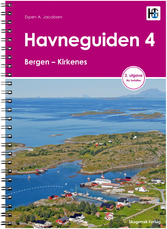
Havneguiden 4 Bergen - Kirkenes

€74.90*


Product number: 22361

Description

This cruising guide accompanies you through the charming archipelago of Bergen to Kirkenes. Bergen, the gateway to the fjords, has one of the busiest seaports in Europe. This is where the Hurtigruten ships depart from. Charming towns such as Alesund and Trondheim and the beautiful Sognefjord, Nordjford and the famous Geirangerfjord invite you to stay. A whole other world reveals itself, the mountains get higher, the sea gets rougher. Those who wish can venture as far as the Lofoten Islands with this unique harbour guide. 430 harbours, anchorages and natural harbours are listed. All harbours are presented by means of large-scale map sketches and well-resolved, unique aerial photographs. In addition to nautical information such as approach (with waypoint), anchoring and supply possibilities, the texts also contain a general section with information on the respective location. Where available, the website and telephone number are also given.

430 Harbours and anchorages
352 pages
practical spiral binding
A4 format
in Norwegian language


Our recommendation:
For this cruising guide we print the official Norwegian nautical charts on customer request from the current data sets of the Norwegian Hydrographic Office in the Print-on-Demand (POD) process.

Format: Spiralbindung
Language: Norwegisch
Region: Europa, Atlantik, Norwegen
Size: Spiralbindung , Buch
Area preview

With the help of our area preview, you can get an impression of which geographical region the product deals with or which areas a nautical chart covers.

Related products to this item

Related products to this item

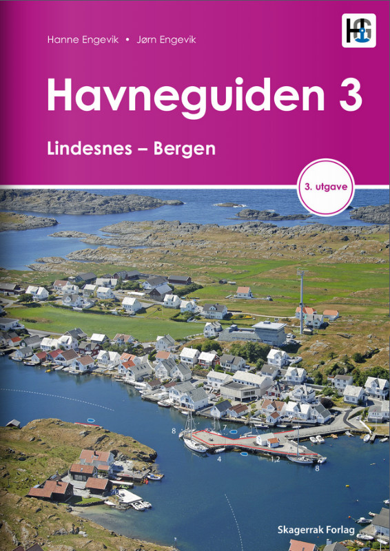
Havneguiden 3 Lindesnes - Bergen
When the rugged and beautiful southwest coast of Norway calls, be sure to take Havneguide 3 with you as it guides you from Lindesnes to Bergen.The most comprehensive Norwegian cruising guide has over

€74.90*
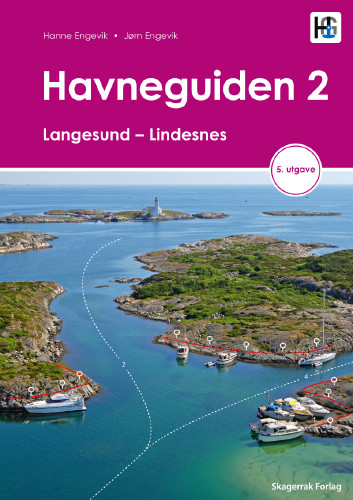
Havneguiden 2 Landesund - Lindesnes
The sophisticated south-east coast of the Oslofjord is much easier to conquer when Havneguide 2 is allowed to accompany you.This Norwegian-produced harbour guide introduces you to 293 harbours, anchor

€74.90*
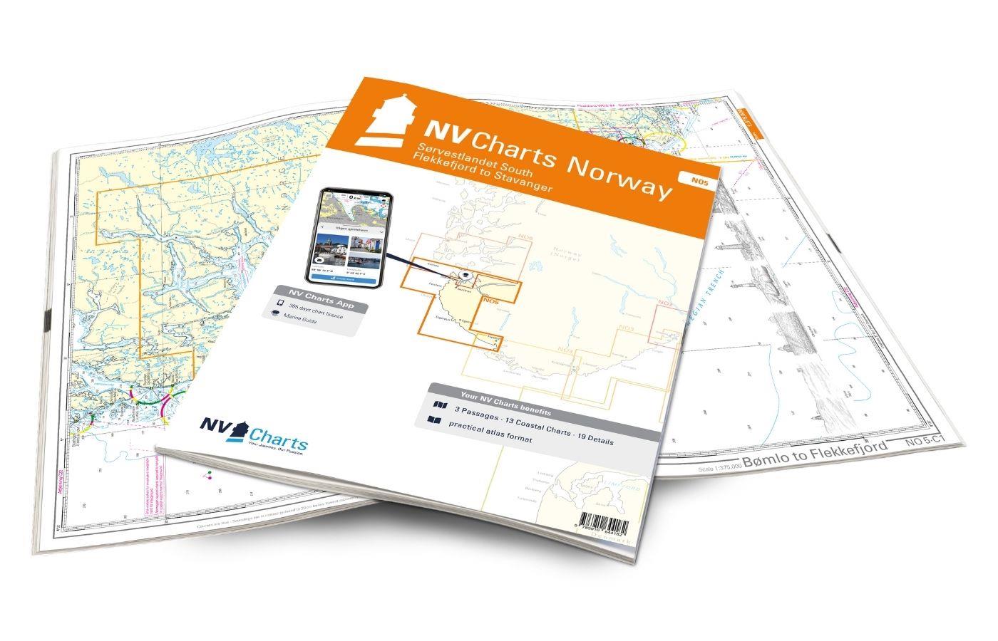
NV Charts Norway NO5 - Sørvestlandet Sør - Flekkefjord til Stavanger
Your companion for the southwest coast of Norway: The NV Charts Norway NO5 . NV Charts for the Norwegian coast are based on data from the Norwegian Hydrographic Office and also include the h

€74.99*
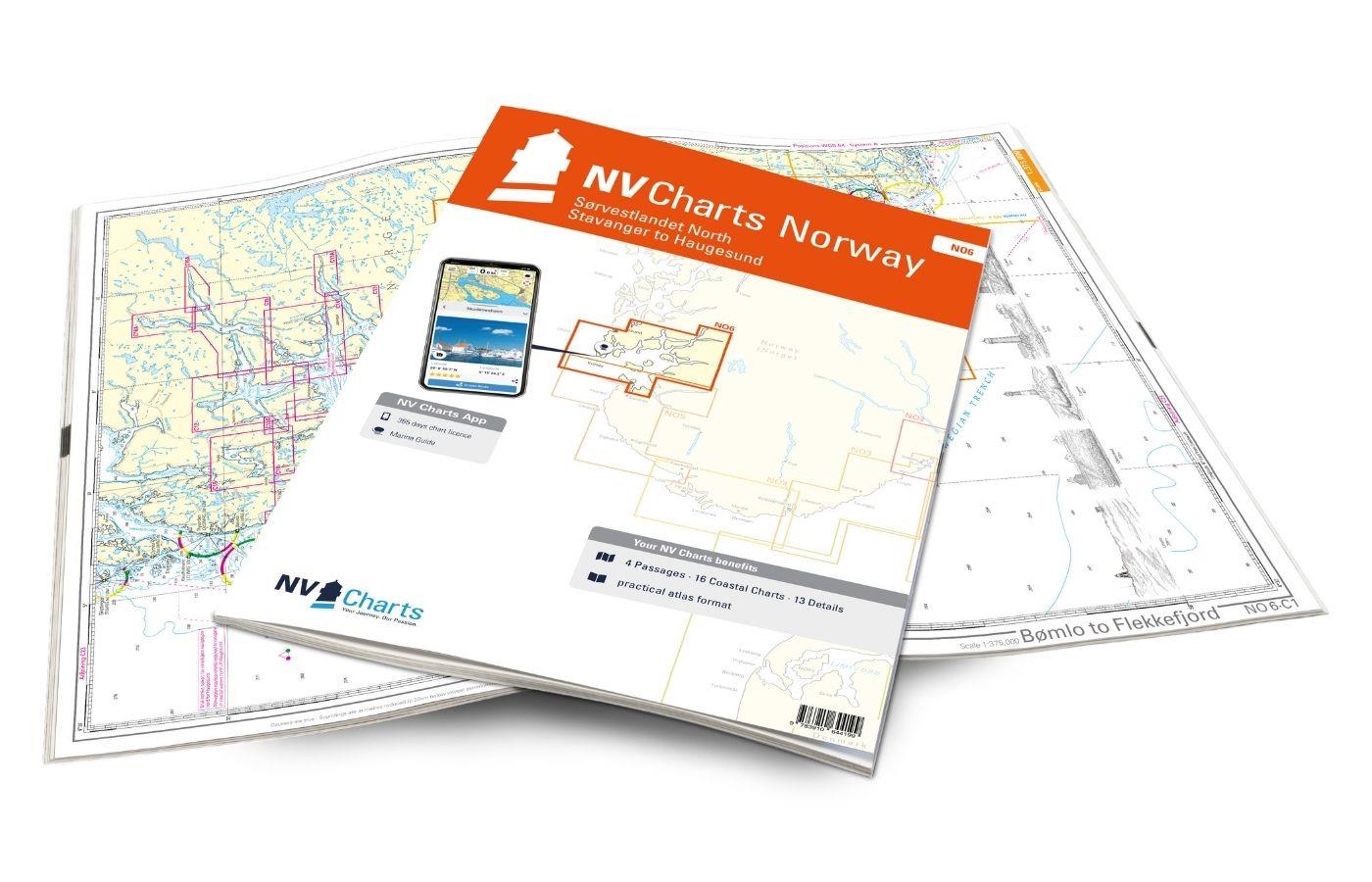
NV Charts Norway NO6 - Sørvestlandet Nord - Stavanger til Haugesund
Would you like to travel to the fairytale fjords on the south-west coast of Norway? The NV Charts Norway NO6 Atlas is your reliable partner. NV Charts for the Norwegian coast are based

€74.99*
NV Charts Norway NO4 - Sørlandet Vest - Flekkefjord til Kristiansand
If you want to travel from North Jutland directly to the south-west coast of Norway, you should take the NV Charts Norway NO4 on board. The NV Charts for the Norwegian coast are based o

€74.99*
Havneguiden 1 Svinesund - Langesund
Boaters planning to sail the Oslo Fjord should definitely have the Havneguiden1 (Svinesund to Langesund) on board as a cruising guide.This is a Norwegian-made guide to ports, with unique aerial photos

€74.90*
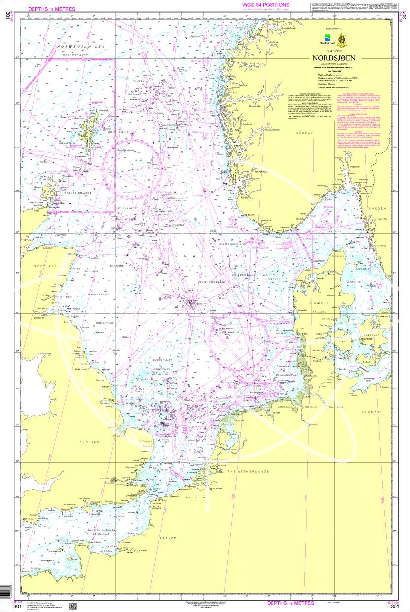
N 301 POD
Nordsjøen. - POD cards are excluded from exchange.

€27.70*

Products near this article

Products near this article

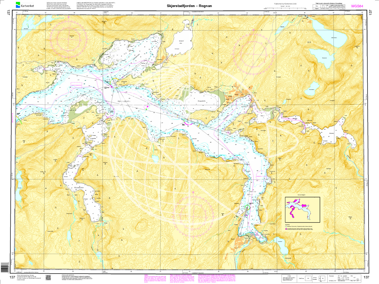
Norwegen N 137 Atlantik Skjerstadfjorden - Rognan
The map N 137 shows the wind-sheltered Skjerstadfjord near Bodø up to Rognan.The detailed scale is 1:50.000. As an additional map we recommend N 136 (Beiarn - Saltfjorden). We

€27.70*
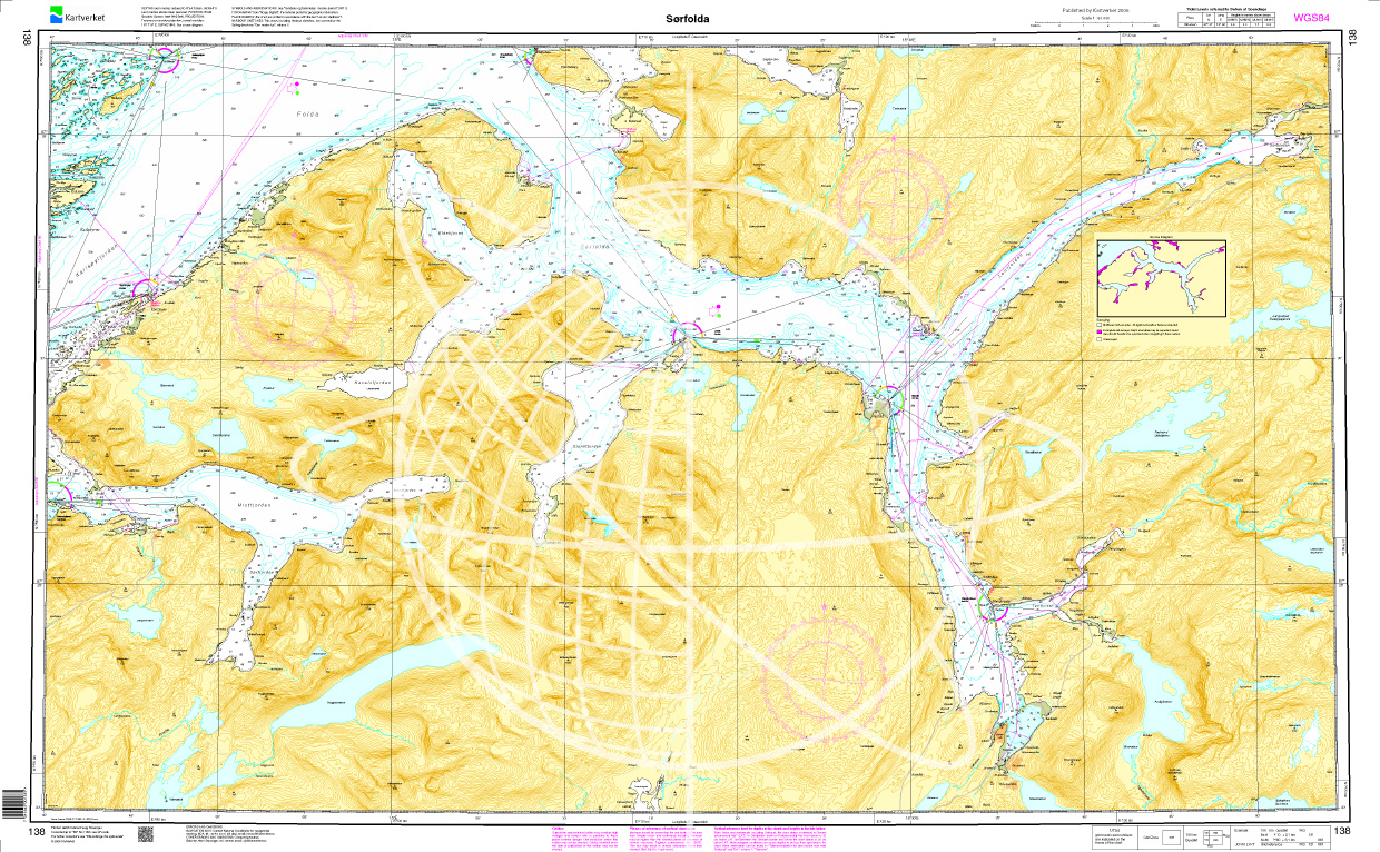
Norwegen N 138 Atlantik Sørfolda
The map N 138 leads into the 40km long Sørfolda a south-eastern branch of the main fjord Folda.  The detailed scale is 1:50000. As an additional map we recommend N 139 (Nor

€27.70*
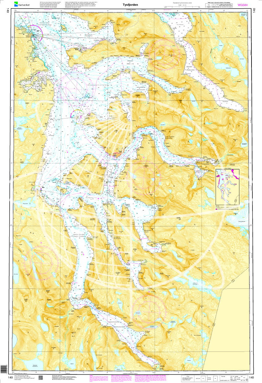
Norwegen N 140 Atlantik Tysfjorden
The map N 140 shows Tysfjorden which lies in the province of Nordland. The detailed scale is 1:50.000. As an additional map we recommend N 141 (Ofotfjorden) or else N 69 (T

€27.70*
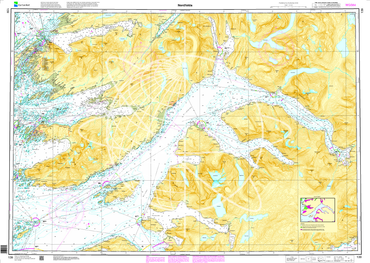
Norwegen N 139 Nordfolla
The map N 139 shows the northernmost branch of the main fjord Folda with Nordfold. The detailed scale is 1:50000. As an additional map we recommend N 67 (Leines - Grøtøya - Steigen

€27.70*
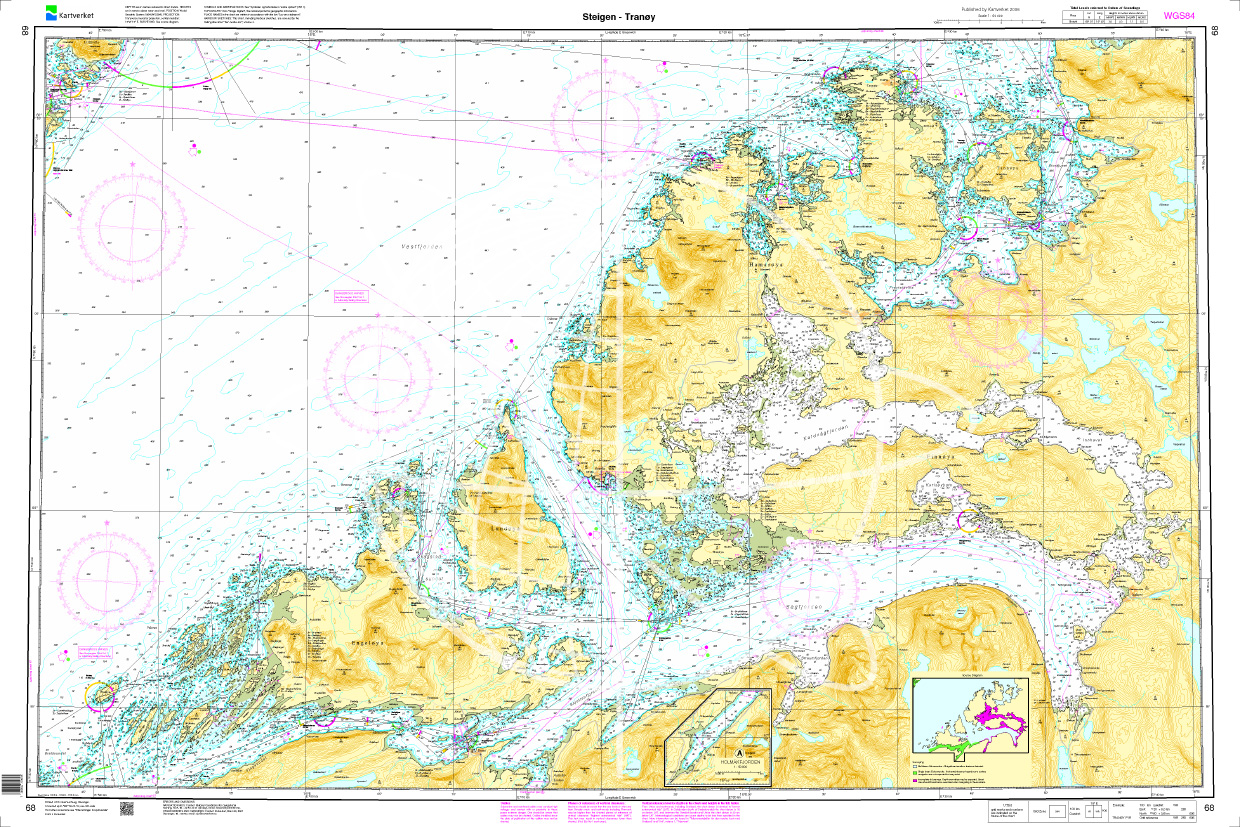
Norwegen N 68 Atlantik Steigen - Sagfjorden - Tranoey
The map N 68 shows Steigen with the Sagfjorden up to the Tranoey lighthouse. The detailed scale is 1:50000. As an additional map we recommend N 72 (Lofotodden - Stamsund) or el

€27.70*
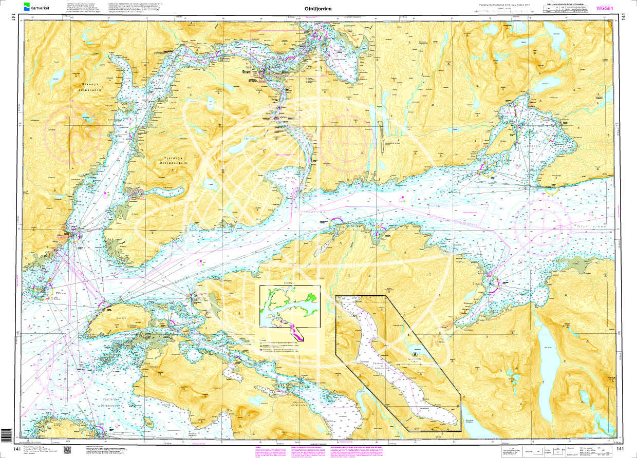
Norwegen N 141 Atlantik Ototfjorden
The map N 141 shows Ototfjorden. The detailed scale is 1:50.000. As an additional map we recommend N 142 (Narvik - Skjomen - Rombaken) and N 461 (Narvik havn).We print

€27.70*
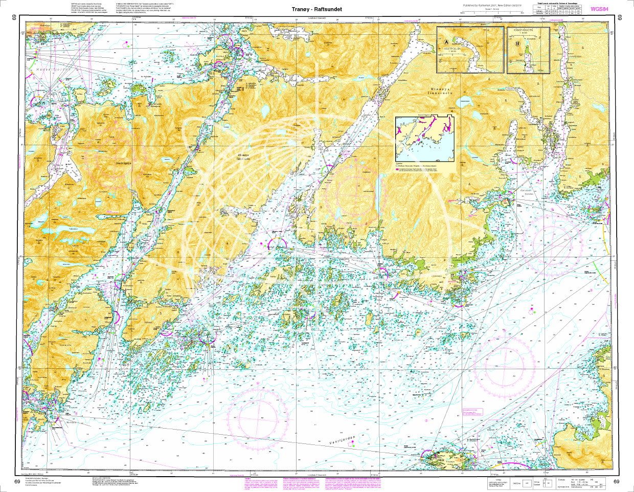
Norwegen N 69 Lofoten Tranoey - Raftsunde
The map N 68 shows the Tranoy lighthouse to the Raftsund waterway in Lofoten. The detailed scale is 1:50.000. As an additional map we recommend N 72 (Lofotodden - Stamsund) or else

€27.70*
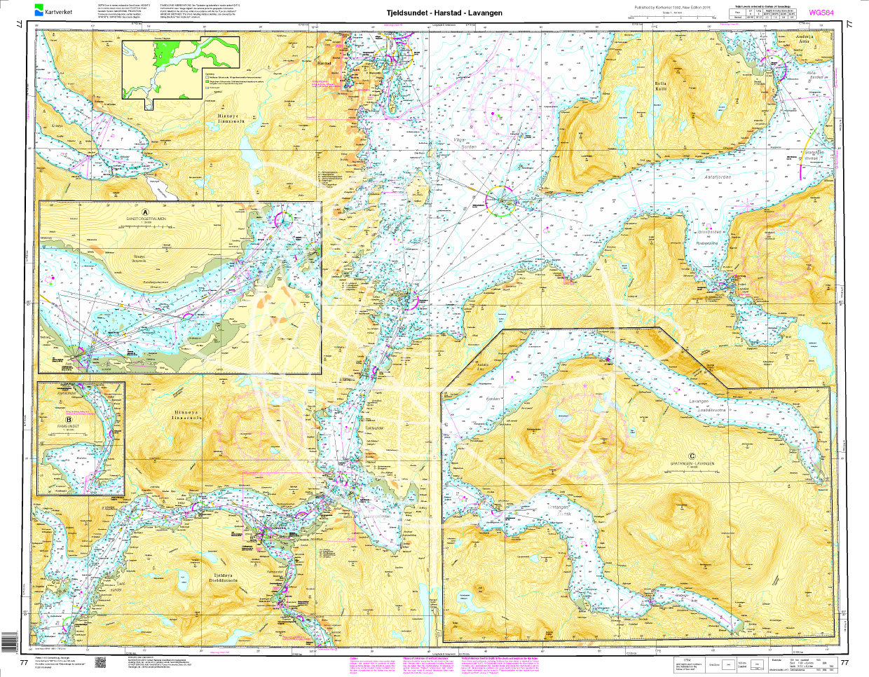
Norwegen N 77 Atlantik Tjeldsundet - Harstad - Lavangen
The Sea Chart N 77 covers in detail the coasts of northern Norway at the level of the Lofoten Islands. This includes the Tjeldsund and the sea area from Harstad in the northwest to Lavangen in the eas

€27.70*
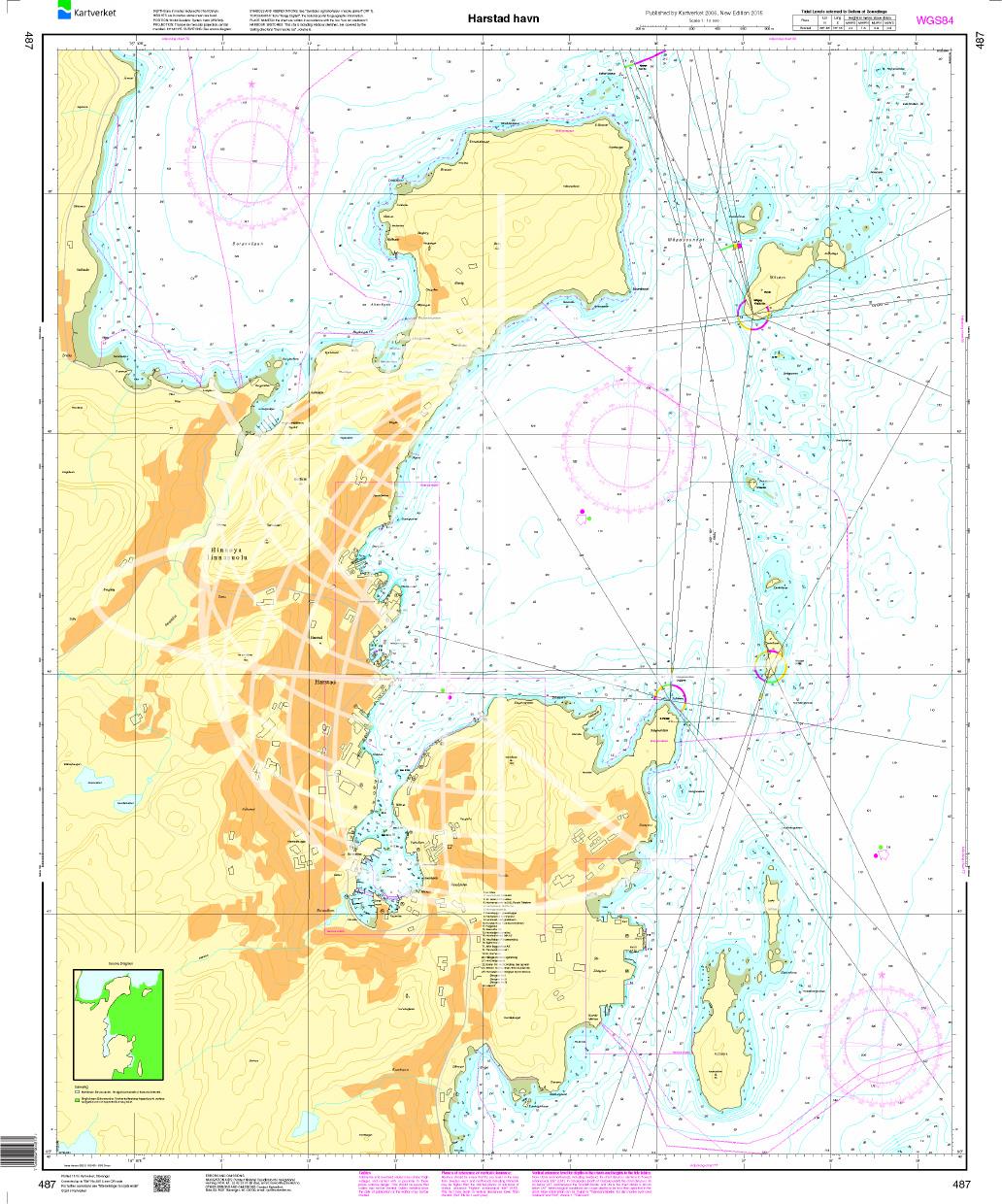
N 487 POD
Harstad havn. - POD cards are excluded from exchange.

€27.70*
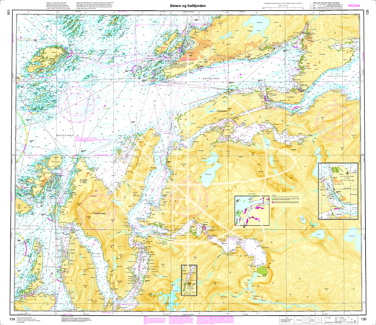
Norwegen N 136 Atlantik Beiarn - Saltfjorden.
The Map N 136 shows the waterways from Beiarn to Saltfjorden below Bodø.The detailed scale is 1:50.000. As an additional map we recommend N 137 (Skjerstadfjorden - Rognan).&nbs

€27.70*
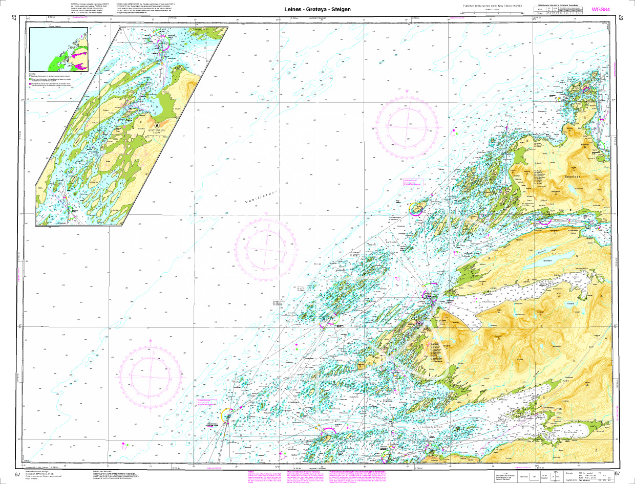
Norwegen N 67 Atlantik Leines - Grøtøya - Steigen
The Map N 67 represents with Leines the mouth of the Leinesfjord situated above and west of Nordfolda. Opposite is Lofoten.The detailed scale is 1:50.000. As an additional map we r

€27.70*

Reviews

0 of 0 reviews

Leave a review!

Share your experiences with other customers.