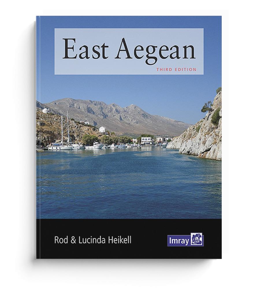
East Aegean

Chart ID: IB0186-1

€28.40*


Product number: 22369

Description

The Greek Dodecanese islands and the coast of Turkey from Gulluk to Kedova.

Rod Heikells latest guide East Aegean covers Patmos Kalimnos Kos Rhodes and intervening islands on the Greek side.

On the Turkish side the ports of Gumusluk Bodrum Marmaris and Fethiye are included as well as almost all the coastal anchorages and islands between Kas and Kekova.

In the same style as its companions "Ionian" and "West Aegean" this guide provides detailed pilotage and background information for yachts passing through the area as well as those sailing between the Greek and Turkish coasts and islands.
East Aegean follows the pattern of Rod Heikells other guides and is fully illustrated with up-to-date plans photographs and interesting plates on local history and customs.
It is packed with useful background information for the traveller and provides all the essential information for getting to formalities and sailing in Greece and Turkey.

In English.

Find more cruising guides here.

Product info:

Publisher: Imray
Authors: Rod and Lucinda Heikell
Edition: 2nd edition. Edition 2012
ISBN: 9781846233746
Pages: 342
Binding: Softcover

Area preview

With the help of our area preview, you can get an impression of which geographical region the product deals with or which areas a nautical chart covers.

Related products to this item

Related products to this item

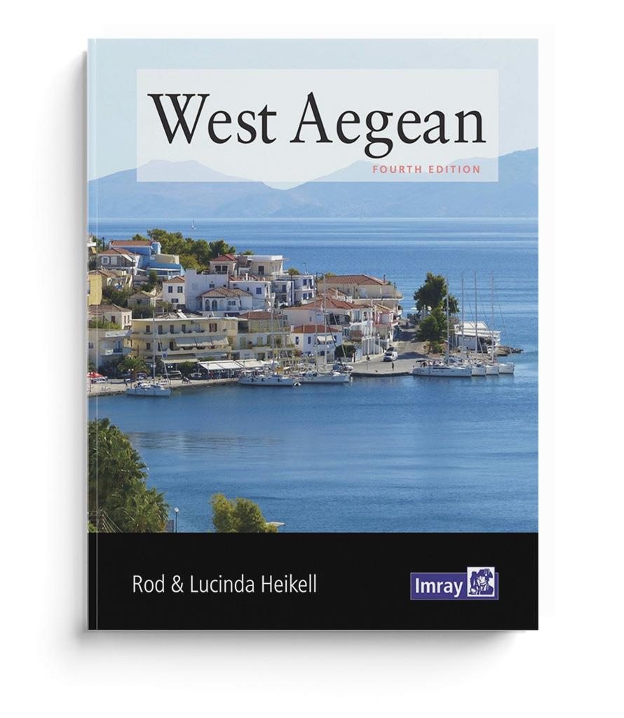
West Aegean (Saronic)
West Aegean - The Attic Coast, Eastern Peloponnese, the Western Cyclades and the Northern SporadesA guidebook for flotilla sailors and charterers with sailing instructions and detailed background info

€28.20*
Shell Channel Pilot
English Channel Cruising GuideThe "Shell Channel Pilot" cruising guide is suitable for all water sports enthusiasts who wish to explore the English Channel on both the French and English sides. It cov

€50.50*
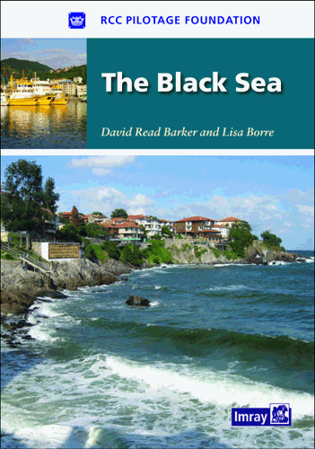
The Black Sea
Based on previously published voyage reports, this guide provides sailing instructions for all countries around the Black Sea.Packed with useful background information and supported by the RCCPF's acc

€38.80*
-4 %
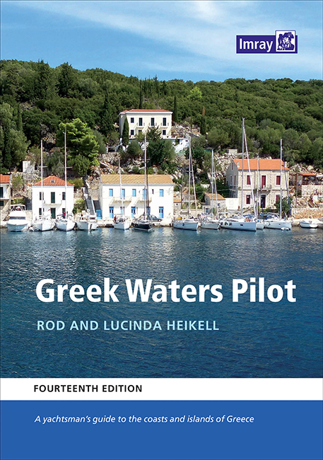
Greek Waters Pilot
The Greek Waters Pilot by Lucinda and Rod Heikell covers the entire coastline and islands of Greece.Published for nearly 30 years, the guide covers the entire area from the Ionian Islands to the Saron

€59.40* €62.50* (4.96% saved)
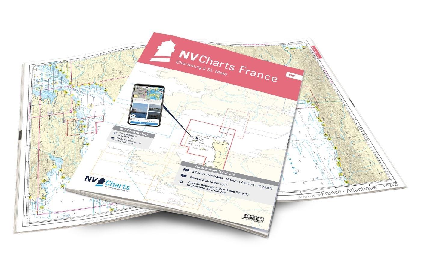
NV Charts France FR2 - Cherbourg à St. Malo
If you are drawn to the marvellous Channel Islands, the NV Charts Atlas FR2 is well advised! Thanks to the clear layout, the recreational skipper can quickly find approaches, harbours and anchorages a

€64.99*

Reviews

0 of 0 reviews

Leave a review!

Share your experiences with other customers.