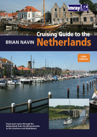
Cruising Guide to the Netherlands

Chart ID: IB0146

€39.80*

 
Product number: 22734
Manufacturer product number: IB0146

Description

Coverage Crusing Guide to the NetherlandsDelfzijl to Breskens. Detailed cruising guide to the coast of the Netherlands.

The book consists of 3 parts. General the South and the Northern part and is complemented by an introductory chapter with nautical and navigational hints as well as an appendix with helpful addresses.

A very successful book all around that with many revised details is a good support for all water sports enthusiasts on the coast. 203 pages in large format (softcover) with numerous illustrations photos and sketches. All harbours with small detailed maps and partly aerial photographs. 5th edition 2010.

Crusing Guide to the Netherlands is the classic cruising and harbour guide for this varied coast which also includes among others the Frisian Islands and the Wadden Sea the Ijsselmeer and much more

The book is not intended for navigation but supports it considerably. The cruising guide is considered a reliable companion for anyone cruising the Netherlands on fixed-mast routes. he cruising guide by Brian Navin is based on popular selected routes that offer the opportunity to visit most regions of the Netherlands from the mouth of the Scheldt to the IJsselmeer and Waddenzee. This edition follows the same pattern and includes corrections and updates accumulated since the publication of the fourth edition amended port plans and new photos by the author.

Coverage:

  • Zealand and the Southern Delta
  • The Northern Delta. Haringvliet and Rotterdamse Waterweg
  • Zuid-Holland. Lakes and canals
  • The big rivers and the Biesbosch
  • Approaches to Noord-Holland and the Frisian Islands
  • Noord-Holland and Amsterdam
  • The Ijsselmeer
  • Friesland and Groningen
  • The Frisian Island and the Wadden Sea
Language: Englisch
Region: Europa, Nordsee, Niederlande
Size: Softcover
Area preview

With the help of our area preview, you can get an impression of which geographical region the product deals with or which areas a nautical chart covers.

Related products to this item

Related products to this item

New
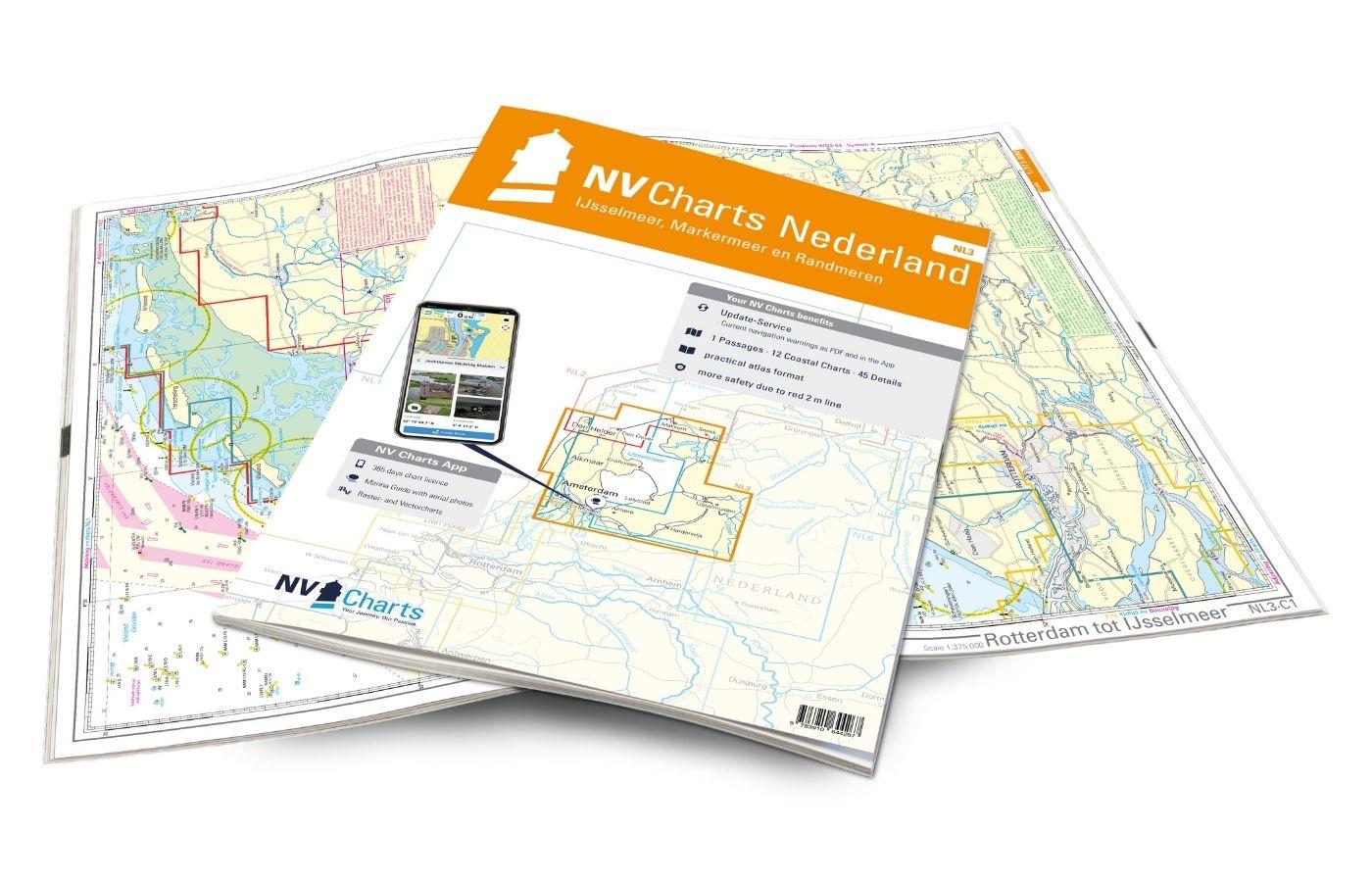
NV Atlas Nederland NL3 - IJsselmeer & Randmeeren
For a trip through the popular sailing area of the IJsselmeer is the NL3 the right choice. Once you have passed one of the lock gates, nothing stands in the way of an eventful trip. The IJsselmmeer do

Variants from €51.99*
€64.99*
New
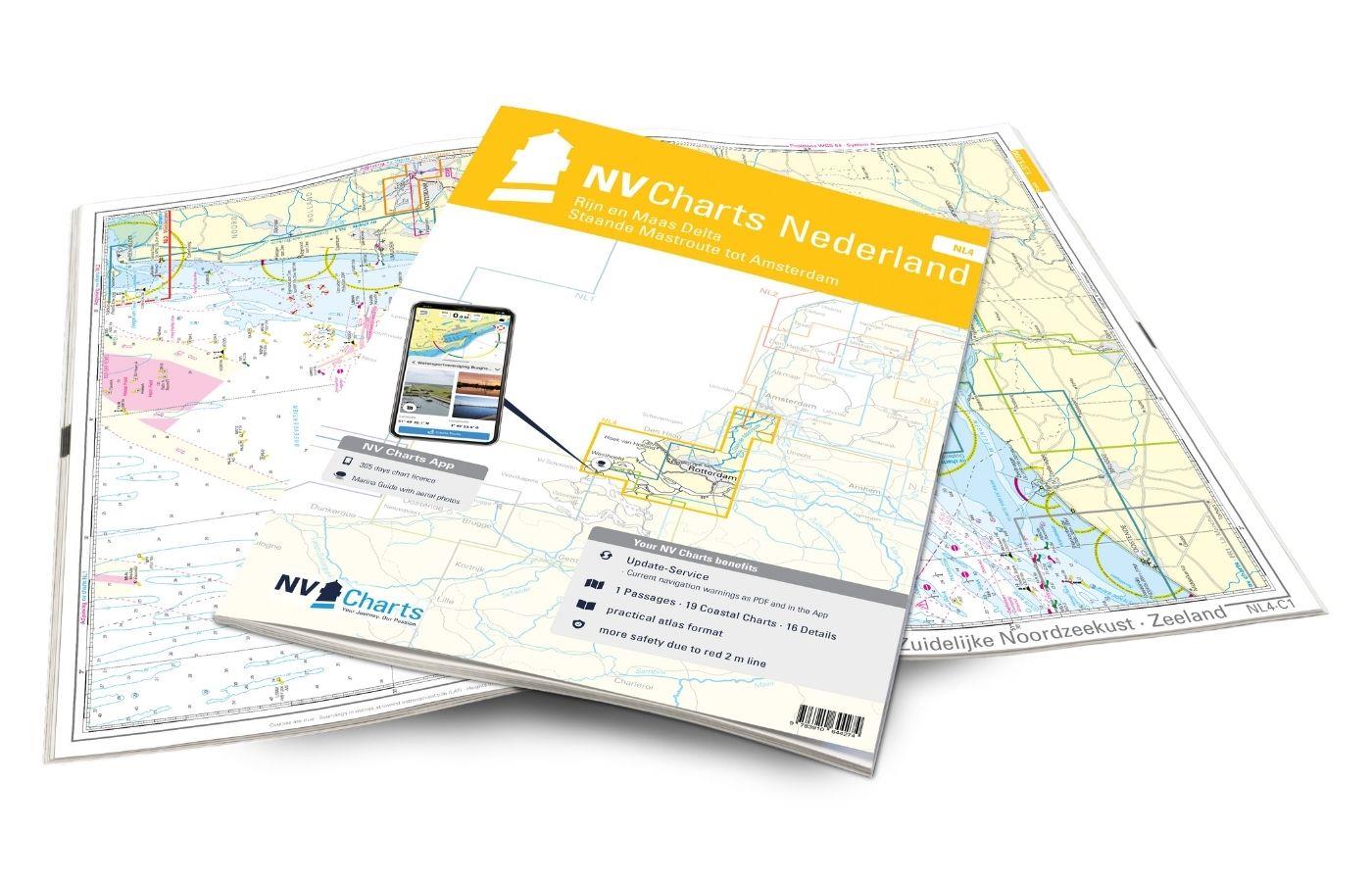
NV Atlas Nederland NL4 - Rijn & Maas Delta
The NL4 is the perfect companion for the water sports area around Rotterdam, the southern part of the famous "Staande Mastroute," and the Maas Delta. In the north, the Atlas begins near the capital Am

Variants from €51.99*
€64.99*
New
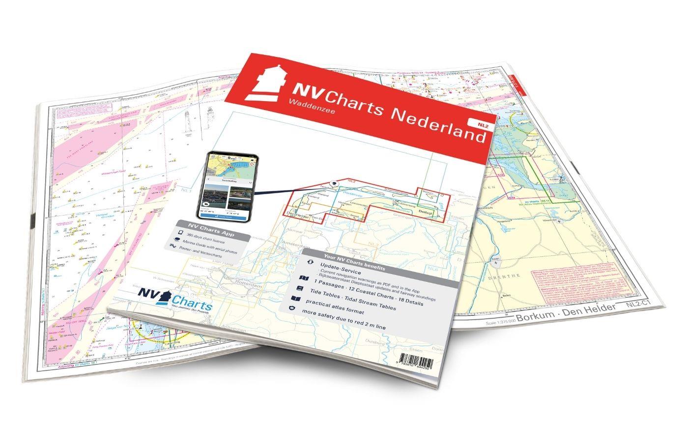
NV Atlas Nederland NL2 - Waddenzee
The NL2 is the ideal chart to experience the Waddenzee region. The water sports area is characterized by a high tidal range and a rough, sometimes almost untouched landscape. The chart covers the Germ

Variants from €58.49*
€64.99*
New
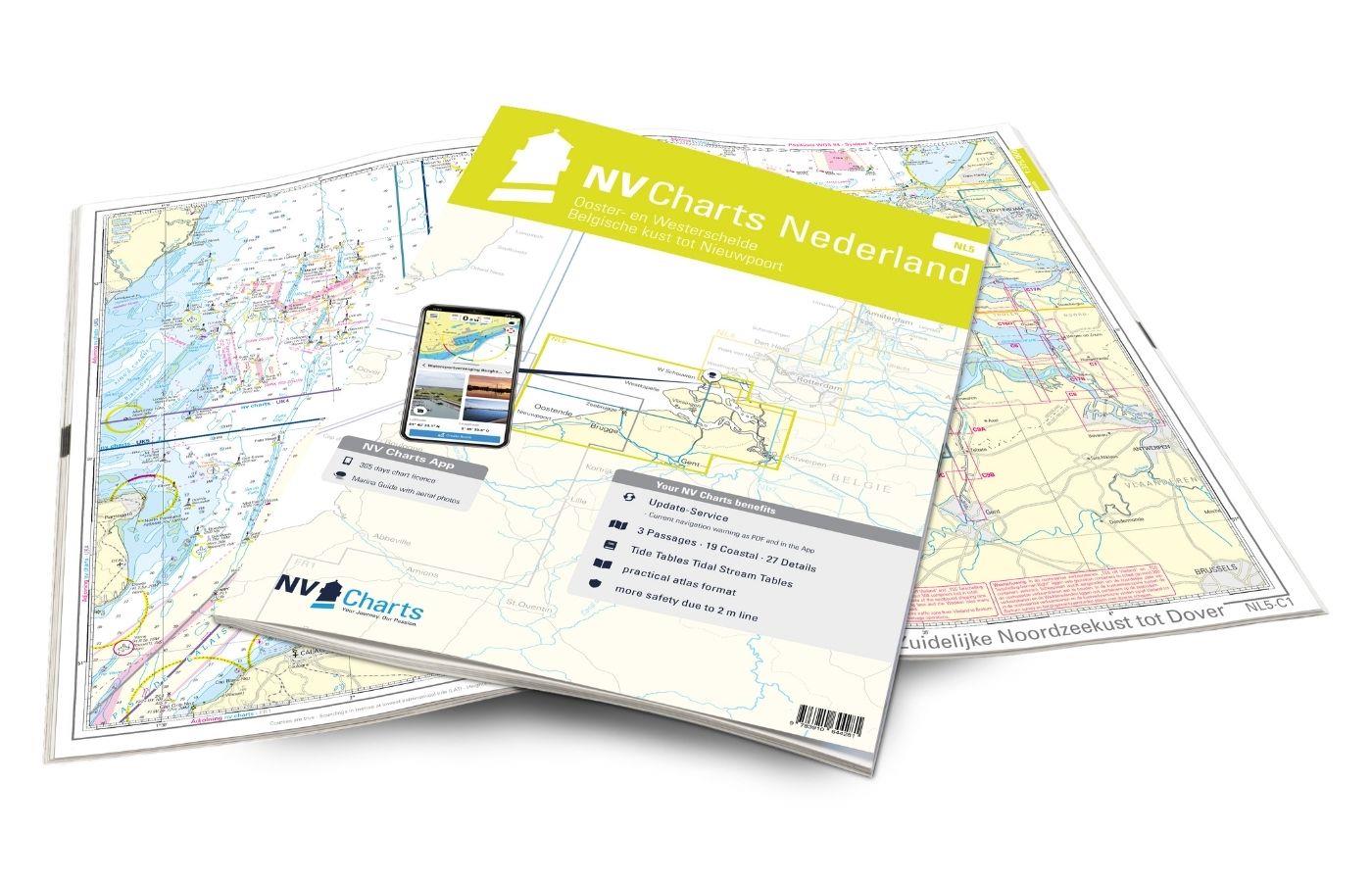
NV Atlas Nederland NL5 - Ooster & Westerschelde
If you want to travel through the "Oosterschelde" and "Westerschelde" delta regions, you will find a suitable travel companion in NL5. This varied beautiful region is characterized by tides and nature

Variants from €51.99*
€64.99*
New
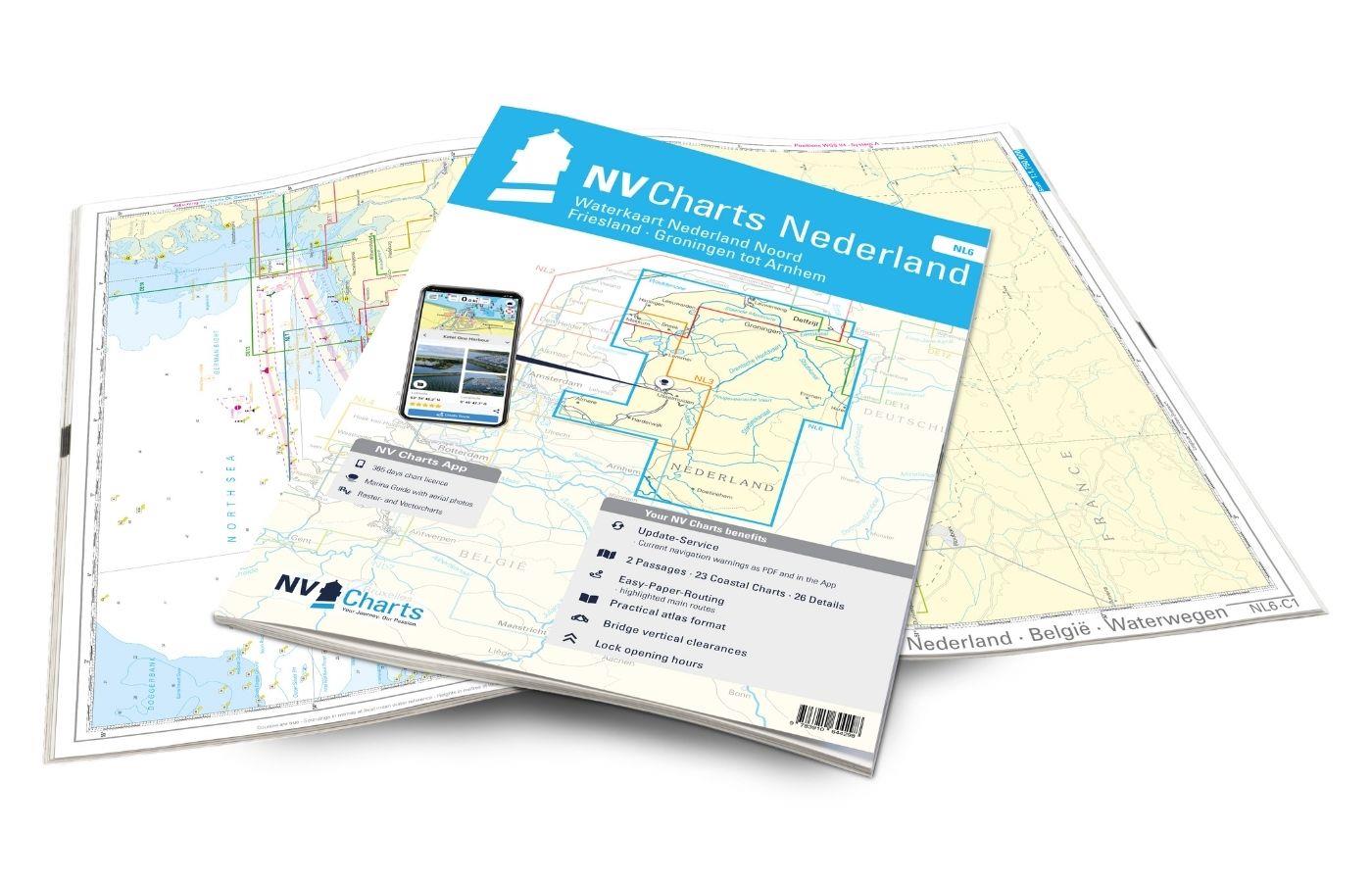
NV Atlas Binnen NL6 - Waterkaart Nederland Noord - Friesland - Arnhem
For the northern part of the Dutch inland waters, the NL6 is a practical and handy travel companion. Together with the NL7 (Waterkaart Nederland Zuid) the entire inland area of the country can be expl

€64.99*
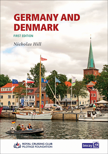
Germany and Denmark
Cruising Guide to the North Sea Coast and Baltic Sea Coast of Germany and Denmark in English.Detailed nautical information about the popular holiday regions is presented in well-structured sections by

€48.20*
New
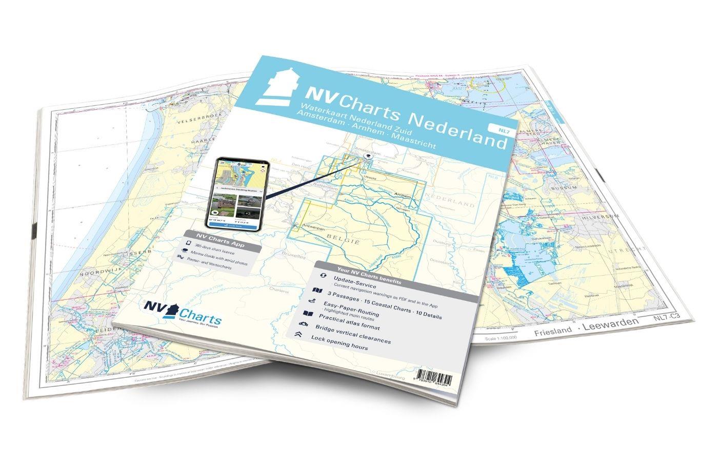
NV Atlas Binnen NL7 - Waterkaart Nederland Zuid - Arnhem - Maastricht
For the southern half of the Dutch inland waters you are ideally equipped with the NL7. Together with the NL6 (Waterkaart Nederland Noord), the country's inland waters are completely covered. The atla

€64.99*

Products near this article

Products near this article

NV Kroatien Plotterseekarten
Maps & Port plans of the HR 1 and HR seriesThe plotter chip Croatia contains the digital nautical charts of the popular NV Charts chart sets for the Adriatic Sea. The area in the Me

€99.99*
New
NV Atlas Nederland NL3 - IJsselmeer & Randmeeren
For a trip through the popular sailing area of the IJsselmeer is the NL3 the right choice. Once you have passed one of the lock gates, nothing stands in the way of an eventful trip. The IJsselmmeer do

Variants from €51.99*
€64.99*
New
NV Atlas Binnen NL7 - Waterkaart Nederland Zuid - Arnhem - Maastricht
For the southern half of the Dutch inland waters you are ideally equipped with the NL7. Together with the NL6 (Waterkaart Nederland Noord), the country's inland waters are completely covered. The atla

€64.99*
ANWB Waterkaart Amsterdam
Inland map for AmsterdamAmserterdam - the capital of the Netherlands captivates thousands and thousands of tourists every year. The city has something to offer for everyone and is well suited for a st

€12.99*
ANWB Staande Mastroute
ANWB Wateratlas Stande Mastroute(Softcover approx. 295x245cm) Haringvliet/Eems-Dollard. Includes the inland route to Den Helder.The standing mast route is the alternative to the North Sea route for No

€21.99*
ANWB Waterkaart 10 - Noord-Holland
Netherlands inland map Noord-HollandThis map shows the northwestern province of Noord-Holland of the Netherlands. The elongated peninsula is one of the most diverse provinces. This nautical map takes

€17.99*
ANWB Waterkaart 21 - Vinkeveense en Loosdrechtse Plassen
Netherlands inland map for Vinkeveense en Loosdrechtse PlassenThis region once characterised by peat extraction is now the destination of water sports enthusiasts from all over Europe.Folding map for

€17.99*
HP 1 Netherlands Coast Pilot
The official nautical handbook for the Dutch coast from Oostende (Belgium) to Emden (Germany) with detailed area informationThe official publication The Netherlands Coast Pilot is published by the Hyd

€54.70*
ANWB Waterkaart 9 - Randmeren-Zuid/Vecht
Randmeren-zuid Vecht - ANWB Waterkaart 9Folding map for Dutch inland waterway double-sided full-colour printed on thin art paper. Landscape format 100 x 70 cm (folded 25 x 125 cm). The map includes al

€17.99*
NL 1810
NL 1810 Ijsselmeer met Randmeren en Noordzeekanaal.The IJsselmeer is probably the most popular Dutch sailing area. It offers a variety of nice harbours and towns so that a whole trip can easily be spe

€34.00*
ANWB Waterkaart 18 - Ijsselmeer-Markermeer / Randmeeren
Netherlands inland map IJsselmeer Markermeer RandmerenThe north-eastern province of Drenthe is known for its semi-natural national parks and green landscapes through which navigable waterways run.Fold

€17.99*

Reviews

0 of 0 reviews

Leave a review!

Share your experiences with other customers.