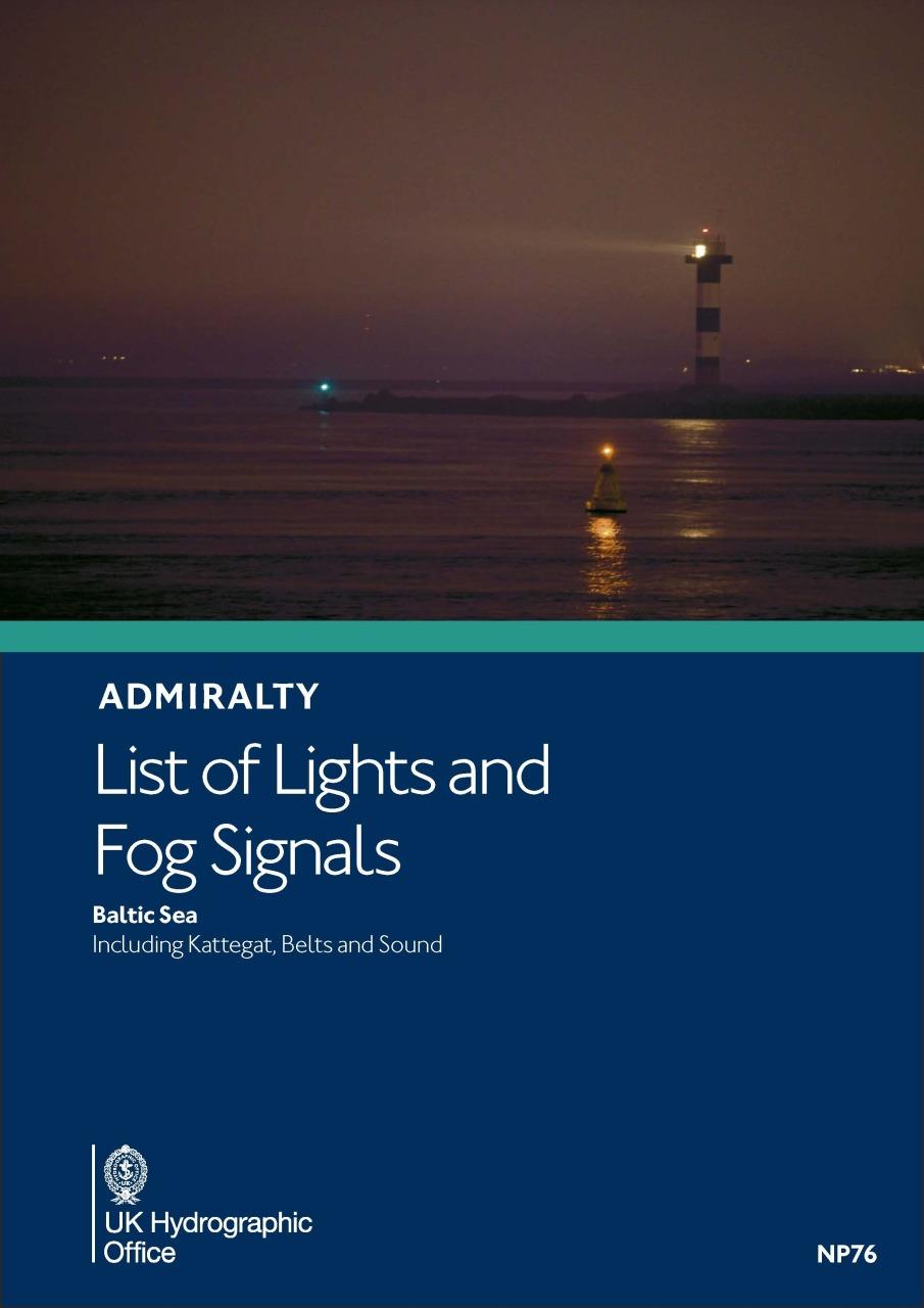
ADMIRALTY NP76 Lights List Vol C - Baltic Sea

Chart ID: NP76
Edition: 2023
Edition Date: 24.05.2023

€59.90*


Product number: 28551

Description

ADMIRALTY List of Lights and Fog Signals. Volume C - Baltic Sea including Kattegat Belts and Sound.

Light directories are an indispensable aid to navigation. Available worldwide these British Admiralty editions include: International Number Name and Geographical Location Altitude in metres Identification Sectors and Range.

The directories are published annually. NP76 is usually published in June/July each year.

.

Format: Softcover / Taschenbuch
Language: Englisch
Area preview

With the help of our area preview, you can get an impression of which geographical region the product deals with or which areas a nautical chart covers.

Related products to this item

Related products to this item

-26 %
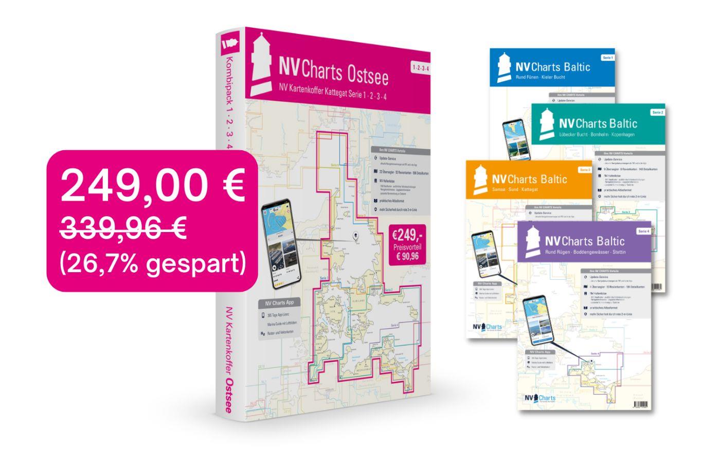
NV Charts Baltic Sea Chart Box incl. Region 1-4
 For all those who like to save and whose district is called the German and Danish Baltic Sea. With the Baltic Sea Case Series 1-4 our single map sets are offered to you at a special price of 198

€249.00* €339.96* (26.76% saved)
Der küstennahe Gezeitenstrom in der Deutschen Bucht (BSH 2348)
Current atlas from the BSHThe nearshore tidal current in the German Bight (BSH 2348). Edition 2017. Current atlas with detailed representation of the current conditions in the estuaries and tidal flat

€31.00*
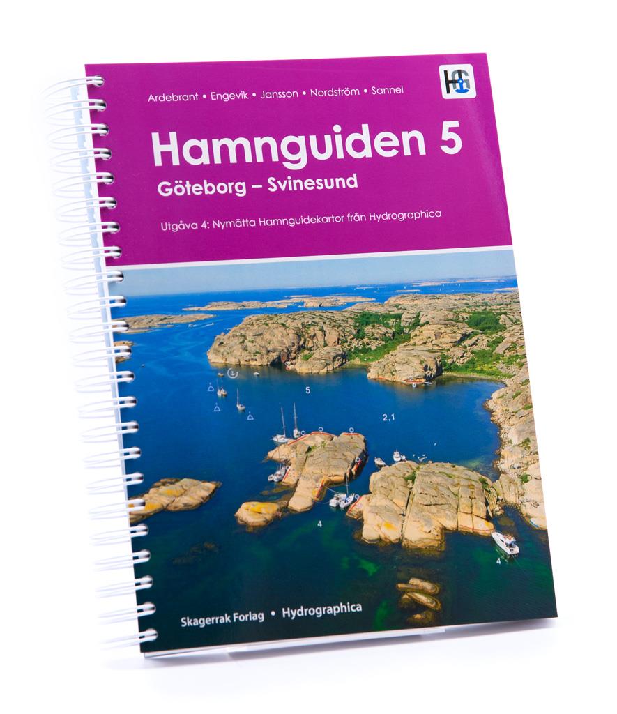
Hamnguiden 5 Göteborg - Svinesund
The harbour guide Gothenburg - Svinesund takes you directly to the beautiful archipelago landscape of Sweden's west coast from Gothenburg to just before the Oslo Fjord.This sailing guide contains a nu

€74.90*
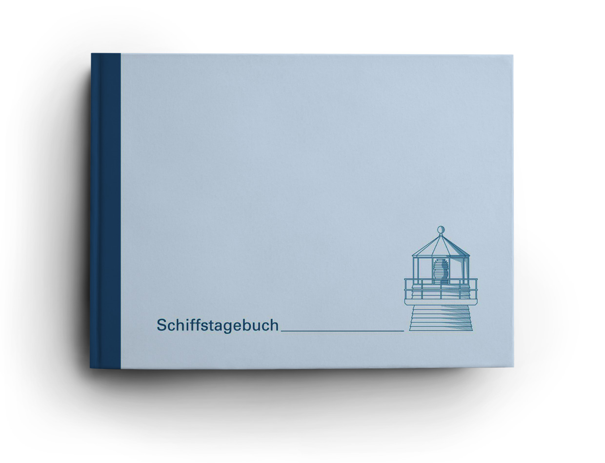
Logbuch / Schiffstagebuch NV
The NV Logbook / Ships Diary with the officially prescribed page numbering is clear and practical.The clear division for navigation data with time course sm and remarks on the course of the voyage suc

€15.90*

Products near this article

Products near this article

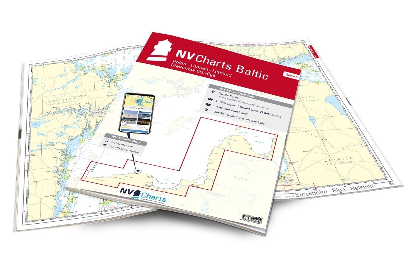
NV Charts Baltic Region 6 - Poland - Lithuania - Latvia
The NV Charts Baltic Series 6 includes the Polish Baltic coast and goes from Lithuania to Latvia . The chart series, specially designed for recreational boating, contains the nautical charts

€94.99*
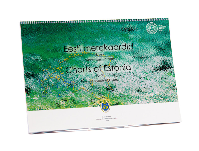
Charts of Estonia 3
The Estonian recreational chart set "Charts of Estonia 3" vol 3 from Saaremaa to Ruhnu is an official Estonian recreational chart set in the format 30x42 in a spiral binding it covers the southern are

€85.00*
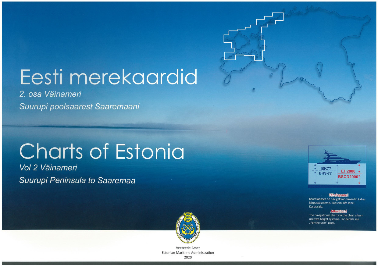
Charts of Estonia 2
The Estonian recreational chart set "Charts of Estonia 2" vol 2 Väinameri Suurupi Peninsula to Saaremaa is an official Estonian recreational chart set in 30x42 format in a spiral binding it covers the

€85.00*
FINN. BOOTSPORTKARTEN B
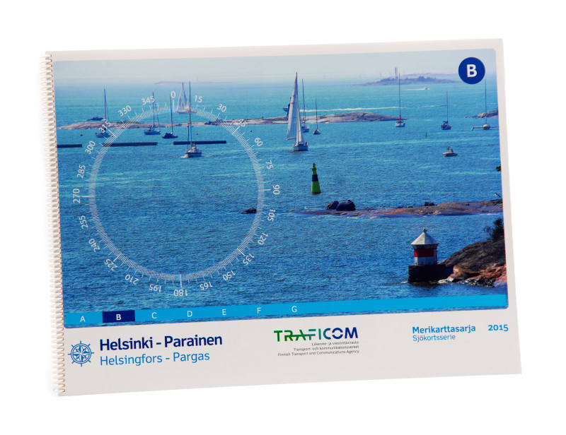
The Finnish Recreational Chart Set B covers the southern Finnish coast from Helsinki to Parainen.The chart set includes2 charts 1:300.0002 charts western part of the Gulf of Finland incl. the coast of

€58.00*

Reviews

0 of 0 reviews

Leave a review!

Share your experiences with other customers.