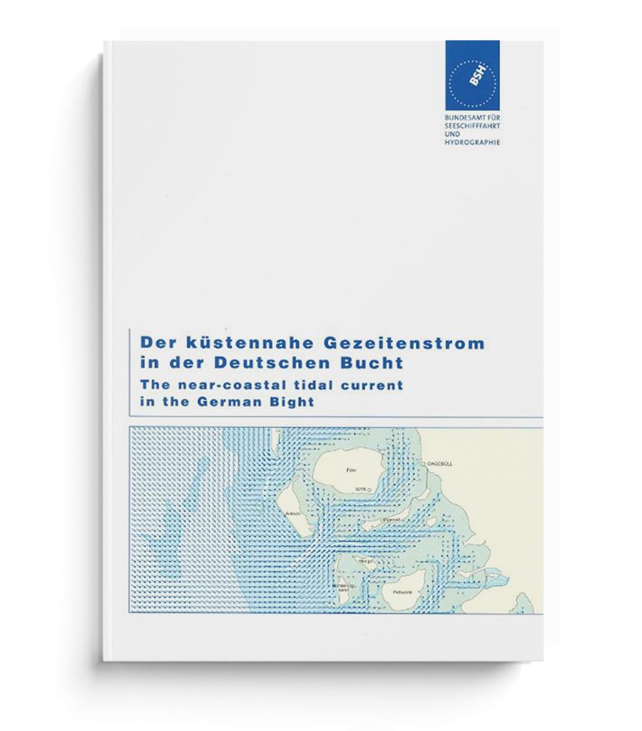
Der küstennahe Gezeitenstrom in der Deutschen Bucht (BSH 2348)

€32.50*


Product number: 20137

Description

Current atlas from the BSH

The nearshore tidal current in the German Bight (BSH 2348). Edition 2017. Current atlas with detailed representation of the current conditions in the estuaries and tidal flats.

The nearshore (!) tidal current in the German Bight hourly from 6 hours before to 6 hours after high tide in Helgoland based on the results of a hydrodynamic-numerical model.

Format: Softcover / Taschenbuch
Language: Deutsch, Englisch
Area preview

With the help of our area preview, you can get an impression of which geographical region the product deals with or which areas a nautical chart covers.

Related products to this item

Related products to this item

Gebietsvorschau für Törnführer Nordseeküste 1; Cuxhaven bis Den Helder öffnen
Törnführer Nordseeküste 1; Cuxhaven bis Den Helder
Cuxhaven to Den HelderFrom the Wadden SeaThe sailing guide North Sea Coast 1 is a classic among sailing guides. The book guides you in detail through the regions ports and picks up on regional feature

€39.90*
Gezeitenkalender 2024
The BSH tidal calendar contains the important tidal information for the German North Sea coast.The high tide and low tide times for the German Bight and its river areas are presented in tabular f

€3.15*
Gebietsvorschau für NV Charts Nordsee DE13 - Ostfriesland, Borkum bis Helgoland & Ems öffnen
NV Charts Nordsee DE13 - Ostfriesland, Borkum bis Helgoland & Ems
The East Frisian islands of Borkum, Juist, Norderney, Baltrum, Langeoog, Spiekeroog and Wangerooge are both attractive and demanding. Seemingly endless expanse, the fresh breeze and long beaches chara

Variants from €58.49*
€64.99*

Reviews

0 of 0 reviews

Leave a review!

Share your experiences with other customers.


Gebietsvorschau für Gezeitenstromatlas NP264 The Channel Islands an adjacent Coast of France öffnen
Gezeitenstromatlas NP264 The Channel Islands an adjacent Coast of France

€33.90*
Gezeitentafeln 2025: Europäische Gewässer
Nautical publication with all tidal information and its forecasts as well as instructions for use for the tidal ranges in Europe. The "Gezeitentafeln 2025: Europäische Gewässer" (Tide Tables for

€28.00*
Gebietsvorschau für Reeds Nautical Almanac 2024 öffnen
Reeds Nautical Almanac 2024
The comprehensive cruising guide for the North Sea, British Isles and European Atlantic coast offers all the information you need in a compact almanac, from passage planning and up-to-date port plans

€59.00*
Gebietsvorschau für Gezeitenstromatlas NP251 North Sea, Southern Part öffnen
Gezeitenstromatlas NP251 North Sea, Southern Part
Tidal streams diagrams include detailed tidal stream direction and strength information. They show at a glance the direction and rate of tidal streams display neap and spring tidal rates in tenths of

€33.90*
Gebietsvorschau für Gezeitenstromatlas NP257 Approaches to Portland öffnen
Gezeitenstromatlas NP257 Approaches to Portland
Tidal Current Atlas NP257 Approaches to PortlandArticle is not in stock. Delivery time 7 days

€33.90*
Gebietsvorschau für Gezeitenstromatlas NP219 Portsmouth Harbour and Approaches öffnen
Gezeitenstromatlas NP219 Portsmouth Harbour and Approaches
Tidal streams diagrams include detailed tidal stream direction and strength information. They show at a glance the direction and rate of tidal streams display neap and spring tidal rates in tenths of

€33.90*
Gebietsvorschau für Nautische Reisetipps Ostfriesische Inseln öffnen
Nautische Reisetipps Ostfriesische Inseln
The perfect cruising guide for Borkum Juist Norderney Baltrum Spiekeroog Langeoog WangeroogeBeginners and experienced sailors and motorboat drivers alike will find useful information and tips on the i

€19.95*
Gebietsvorschau für Gezeitenstromatlas NP255 Falmouth to Padstow, including the Isles of Scilly öffnen
Gezeitenstromatlas NP255 Falmouth to Padstow, including the Isles of Scilly
Gezeitenstromatlas NP255 Falmouth to Padstow including the Isles of ScillyArtikel ist keine Lagerware. Lieferzeit 7 Tage

€33.90*
Gebietsvorschau für Gezeitenstromatlas NP265 France, West Coast öffnen
Gezeitenstromatlas NP265 France, West Coast
Admiralty Tidal Stream Atlas - France West Coast Edition 2005.item is not in stock. Delivery time 7 days

€33.90*
New
Reeds Eastern Almanac 2025
Detailed guide to the east coast of England to the Shetland Islands and the North Sea coast of the Netherlands and Belgium.A great aid for watersports enthusiasts in a handy spiral binding. Extracted

€50.10*
Gebietsvorschau für Gezeitenstromatlas NP250 The English Channel öffnen
Gezeitenstromatlas NP250 The English Channel
BA NP250 Tidal Stream Atlas: The English ChannelTidal streams diagrams include detailed tidal stream direction and strength information. They show at a glance the direction and rate of tidal streams d

€33.90*