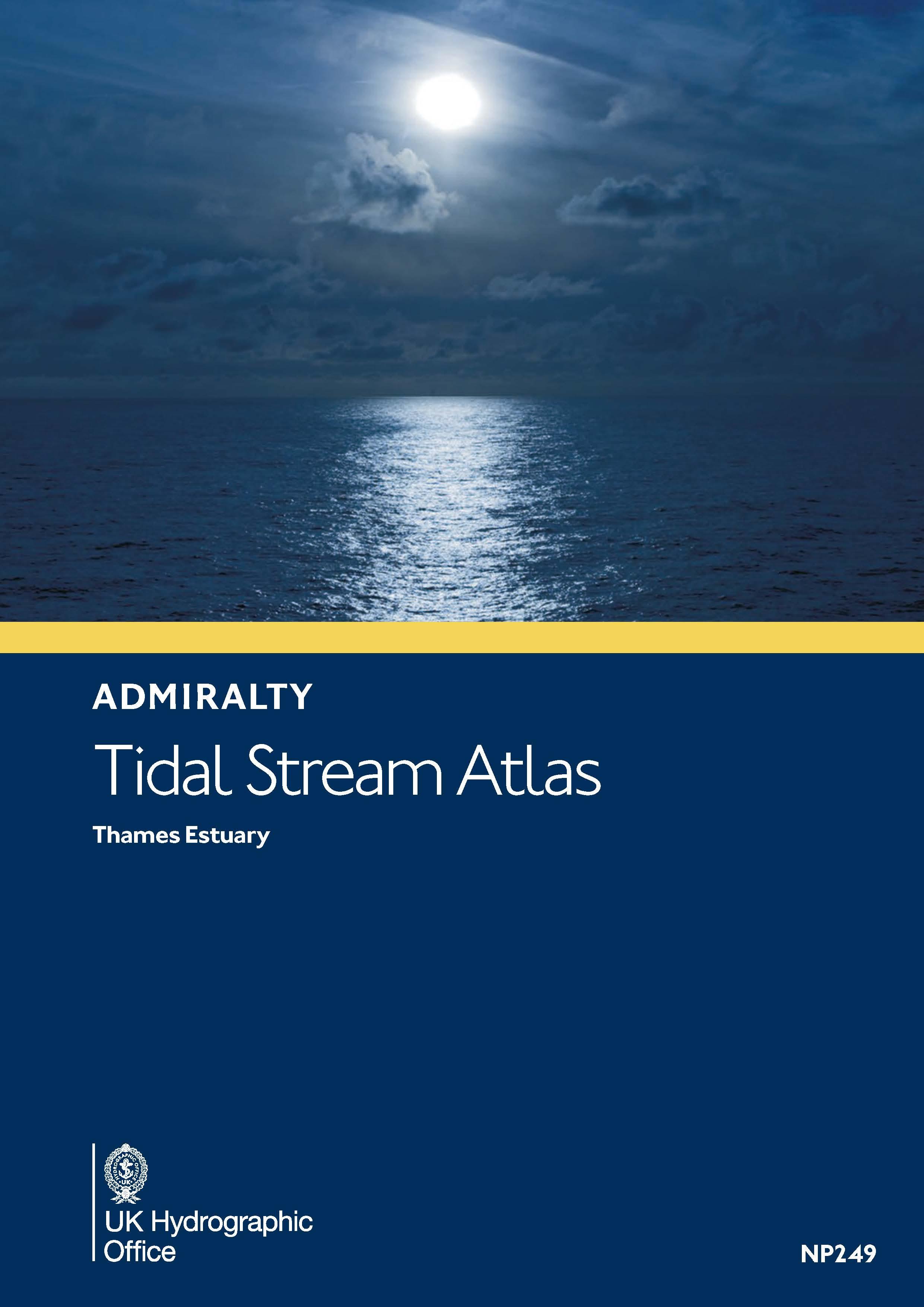
Gezeitenstromatlas NP249 Thames Estuary (with co-tidal charts)
Description
This Tidal Current Atlas for the Thames Estuary at the junction of the North Sea and the English Channel (ADMIRALTY NP249) explains the directions and strengths of the tidal currents in the hourly rhythm of ebb and flow related to high tide at Sheerness. A total of thirteen charts are available from six hours before high tide Sheerness to six hours after high tide Sheerness. The time differences to high water Dover are also indicated in the charts.
The graphic presentation with detailed charts make the current situation easy to understand and manageable at first glance. Especially for this challenging area this is a safety gain on board. The symbols and graphics are explained in the introduction. The current speeds are given in knots and tenths of knots for both jump and neap times the current direction is taken from the charts with a nautical course triangle. The use is explained in detail in English.
For the use current and valid tide data for the current year with high tide times from the ADMIRALTY Tide Tables NP201A or the Reeds Nautical Almanac are necessary. This information is not included in the Current Atlas.
| Format: | Softcover / Taschenbuch |
|---|---|
| Language: | Englisch |
With the help of our area preview, you can get an impression of which geographical region the product deals with or which areas a nautical chart covers.
Products near this article
Reviews
Login

