Skip to main content Skip to search Skip to main navigation

Product information "East Coast Pilot"

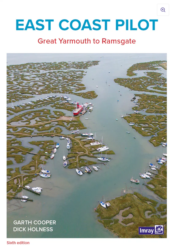
The Area Guide to the East Coast of England from Great Yarmouth to Ramsgate in English

The East Coast Pilot not only covers the many harbours rivers and creeks in a clear and concise manner but also reveals some of the secrets of sailing in these shallow and changing coastal waters.
Both authors have been familiar with this area for many years and with "East Coast Pilot" they pass on their wealth of experience. For clarity and ease of reference the book is laid out in a logical order -

  • each estuary
  • each river
  • each port has its own chapter starting with the most important information to get you to your desired destination.

At the beginning of each chapter key navigational advice is given such as important waypoints contact details for ports and information on how to use recommended nautical charts.

Complemented by cartography and aerial photographs that provide a useful visual perspective on what lies ahead.
Unique to the East Coast Pilot are the diagrams of the "rolling roads" that guide the approach. Introduced to great acclaim in the first edition these show buoyage and tracks with distances and bearings leading into rivers and harbours. In English.

Properties "East Coast Pilot"
Author: Garth Cooper, Dick Holness
Format: Softcover / Taschenbuch
Language: Englisch
Properties "East Coast Pilot"
Author: Garth Cooper, Dick Holness
Format: Softcover / Taschenbuch
Language: Englisch

0 of 0 reviews

Average rating of 0 out of 5 stars

Leave a review!

Share your experiences with other customers.


Area preview

With the help of our area preview, you can get an impression of which geographical region the product deals with or which areas a nautical chart covers.

Other customers bought also

Logbuch / Schiffstagebuch NV
The NV Logbook / Ships Diary with the officially prescribed page numbering is clear and practical.The clear division for navigation data with time course sm and remarks on the course of the voyage suc

€15.90*
Gebietsvorschau für Crossing the Thames Estuary öffnen
Crossing the Thames Estuary
Crossing the Thames Estuary60 routes covering most passages across the Thames Estuary.The problem with planning passage across the Thames Estuary is that each route consists of a number of different s

€38.20*
Gebietsvorschau für NV Charts Pilot 2, North Sea - Falmouth to Kristiansand - Inverness öffnen
NV Charts Pilot 2, North Sea - Falmouth to Kristiansand - Inverness
NV Charts Pilot 2, North Sea - Falmouth to Kristiansand - InvernessThe Pilot 2 from NV Charts is the planning chart that is needed for the North Sea. The west coast of Denmark, the German North Sea an

€24.99*
Gebietsvorschau für NV Charts England UK5 - Thames Estuary to Great Yarmouth öffnen
NV Charts England UK5 - Thames Estuary to Great Yarmouth
The NV Charts England UK5 covers the southeast coast of Great Britain from the Thames estuary to Great Yarmouth. Our charts are based on official data from the United Kingdom Hydrographic Office (UKHO

€64.99*

Related products to this item

Gebietsvorschau für North Sea Passage Pilot öffnen
North Sea Passage Pilot
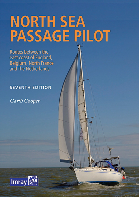
Southern North Sea passage guide with passage routes for traversing this challenging tidal area between the English east coast and the west coasts of the Netherlands and Belgium.The North Sea Passage

€43.00*
Gebietsvorschau für Shell Channel Pilot öffnen
Shell Channel Pilot
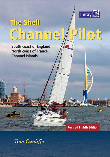
English Channel Cruising GuideThe "Shell Channel Pilot" cruising guide is suitable for all water sports enthusiasts who wish to explore the English Channel on both the French and English sides. It cov

€50.50*
Gebietsvorschau für Crossing the Thames Estuary öffnen
Crossing the Thames Estuary
Crossing the Thames Estuary60 routes covering most passages across the Thames Estuary.The problem with planning passage across the Thames Estuary is that each route consists of a number of different s

€38.20*
Gebietsvorschau für NV Charts England UK5 - Thames Estuary to Great Yarmouth öffnen
NV Charts England UK5 - Thames Estuary to Great Yarmouth
The NV Charts England UK5 covers the southeast coast of Great Britain from the Thames estuary to Great Yarmouth. Our charts are based on official data from the United Kingdom Hydrographic Office (UKHO

€64.99*

Similar products

Gebietsvorschau für CCC Orkney and Shetland Islands including North & Northeast Scotland öffnen
CCC Orkney and Shetland Islands including North & Northeast Scotland
A cruising guide to the Orkney and Shetland Islands which includes Fair Isle. This cruising guide also covers the "jumping off ports" on the south side of the Pentland Firth and the Scottish main

€48.50*
Gezeitentafeln 2025: Europäische Gewässer
Nautical publication with all tidal information and its forecasts as well as instructions for use for the tidal ranges in Europe. The "Gezeitentafeln 2025: Europäische Gewässer" (Tide Tables for

€28.00*
Gebietsvorschau für Gezeitenstromatlas NP251 North Sea, Southern Part öffnen
Gezeitenstromatlas NP251 North Sea, Southern Part
Tidal streams diagrams include detailed tidal stream direction and strength information. They show at a glance the direction and rate of tidal streams display neap and spring tidal rates in tenths of

€33.90*
Gebietsvorschau für Isles of Scilly öffnen
Isles of Scilly
The Isles of Scilly Cruising Guide The new edition of this comprehensive guide to the Isles of Scilly has been completely revised and updated. Background information on the islands their history and f

€44.90*
Reeds Eastern Almanac 2025
Detailed guide to the east coast of England to the Shetland Islands and the North Sea coast of the Netherlands and Belgium.A great aid for watersports enthusiasts in a handy spiral binding. Extracted

€50.10*
Gebietsvorschau für Gezeitenstromatlas NP250 The English Channel öffnen
Gezeitenstromatlas NP250 The English Channel
BA NP250 Tidal Stream Atlas: The English ChannelTidal streams diagrams include detailed tidal stream direction and strength information. They show at a glance the direction and rate of tidal streams d

€33.90*
Gebietsvorschau für Bloc Marine : Atlantique öffnen
Bloc Marine : Atlantique
The Bloc Marine : AtlantiqueFor accurate information on port areas safety at sea and legal requirements in recreational boating the Bloc Marine Atlantique is a first-class travel companion. It include

€36.00*
Reeds Channel Almanac 2025
Detailed guide to the Channel coastA great help for water sports enthusiasts in a handy spiral binding. Extracted from the large "Reeds Nautical Almanac" with full details - the coverage is limited to

€50.10*
Gebietsvorschau für CCC Ardnamurchan to Cape Wrath öffnen
CCC Ardnamurchan to Cape Wrath
CCC Sailing Directions - Ardnamurchan to Cape WrathThe area covered in this guide covers the northern section of the Scottish west coast from Ardnamurchan Point to Cape Wrath, including the whole of S

€48.50*
Reeds Western Almanac 2025
Detailed guide to the west coast of England and Scotland as well as Ireland, Wales and the Irish Sea to Land's End.A great help for water sports enthusiasts in a handy spiral binding. Extracted from t

€50.10*
Gebietsvorschau für Channel Islands, Cherbourg Peninsula and North Brittany öffnen
Channel Islands, Cherbourg Peninsula and North Brittany
This popular pilotage guide covers the waters of the Channel Islands and the neighbouring French coast from the north-east of the Cherbourg Peninsula westwards along the coast of Normandy and Brittany

€63.50*
Gebietsvorschau für South & West Coast of Ireland öffnen
South & West Coast of Ireland
South and West Coast of IrelandThis 15th edition brings Sailing Directions up to date.It describes the latest developments in infrastructure shipyards new marinas or pontoon mooring facilities in ten

€48.50*