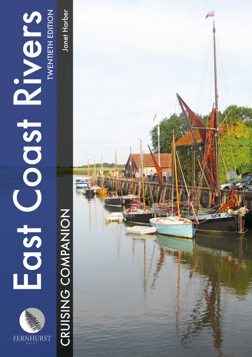
East Coast Rivers Cruising Companion

€49.90*

 
Product number: 22367
Manufacturer product number: 9781909911512

Description

East Coast Rivers covers the rivers creeks shoals and river sections of the Thames Estuary and surrounding rivers stretching from Lowestoft to Ramsgate.

Since 1956 when Jack Coote Jans father published the first black and white edition East Coast Rivers continues to provide comprehensive up-to-date pilotage and nautical information based on years of local knowledge and is supplemented by port information and local maritime history to help cruisers make the most of their visit to the East Coast.

The text is illustrated throughout with updated maps and photographs including spectacular aerial views of some of the rivers and inlets that make up this treasured sailing area.

This is not only a guide for pilots but also a memoir of one familys history of exploring capturing and celebrating this extraordinary sailing area. In English.

Product Info:

Publisher: Imray
Author: Janet Harber
Edition: 20th. Edition 2016
ISBN: 9781909911512
Dimensions: Large format
Pages: 208
Other: many colour plans and photos

Author: Janet Harber
Format: Hardcover / gebunden
Language: Englisch
Area preview

With the help of our area preview, you can get an impression of which geographical region the product deals with or which areas a nautical chart covers.

Related products to this item

Related products to this item

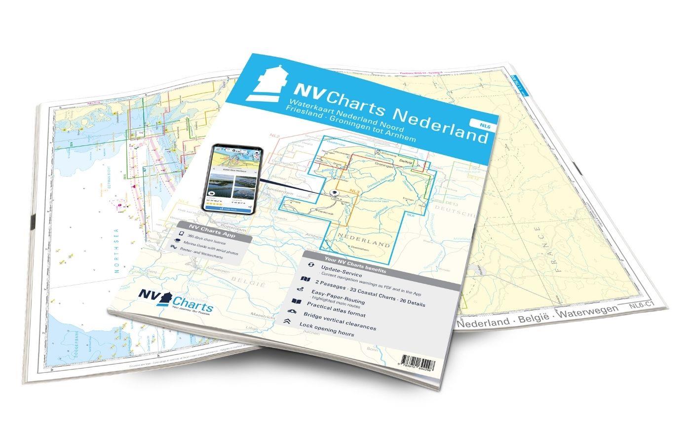
NV Atlas Binnen NL6 - Waterkaart Nederland Noord - Friesland - Arnhem
For the northern part of the Dutch inland waters, the NL6 is a practical and handy travel companion. Together with the NL7 (Waterkaart Nederland Zuid) the entire inland area of the country can be expl

€64.99*
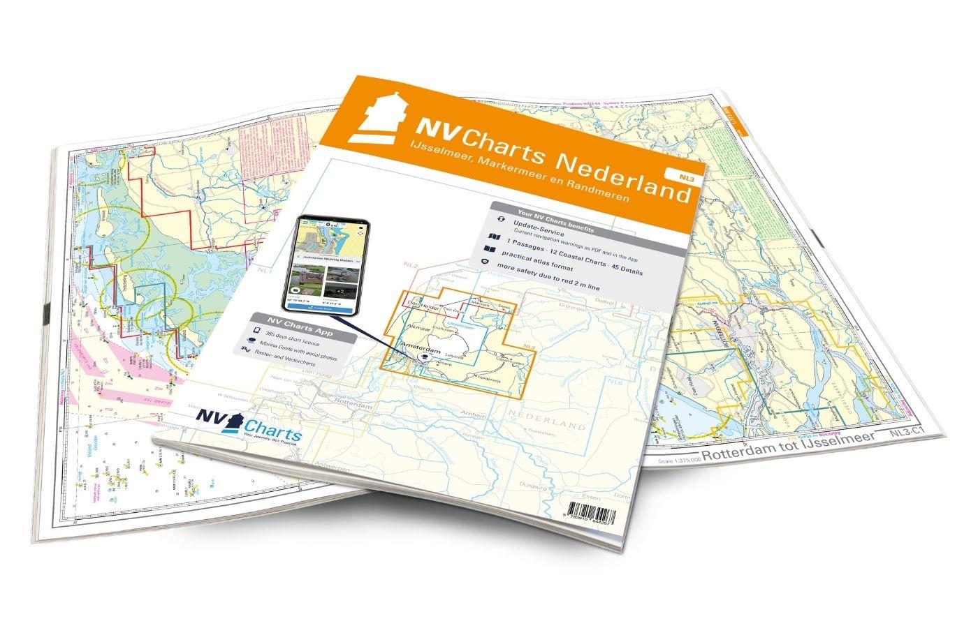
NV Atlas Nederland NL3 - IJsselmeer & Randmeeren
For a trip through the popular sailing area of the IJsselmeer is the NL3 the right choice. Once you have passed one of the lock gates, nothing stands in the way of an eventful trip. The IJsselmmeer do

Variants from €51.99*
€64.99*
New
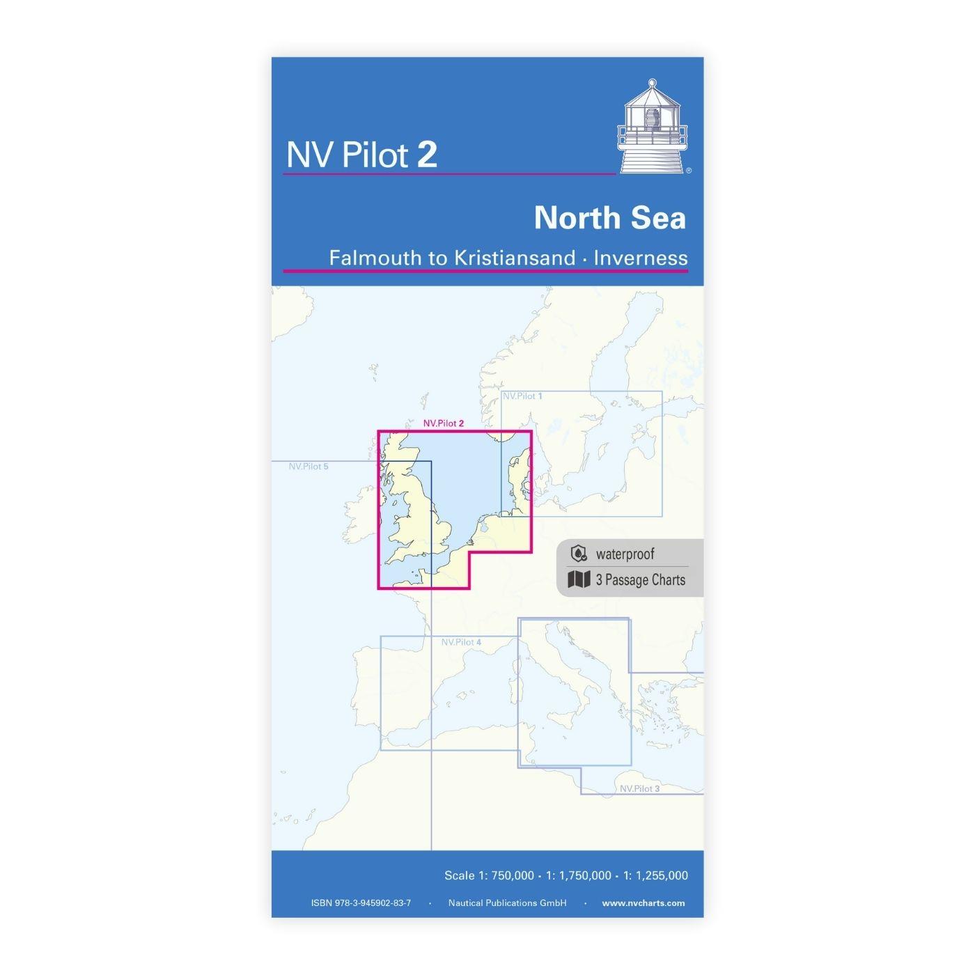
NV Pilot 2, North Sea - Falmouth to Kristiansand - Inverness
NV Pilot 2, North Sea - Falmouth to Kristiansand - InvernessThe Pilot 2 from NV Charts is the planning chart that is needed for the North Sea. The west coast of Denmark, the German North Sea and the c

€24.99*
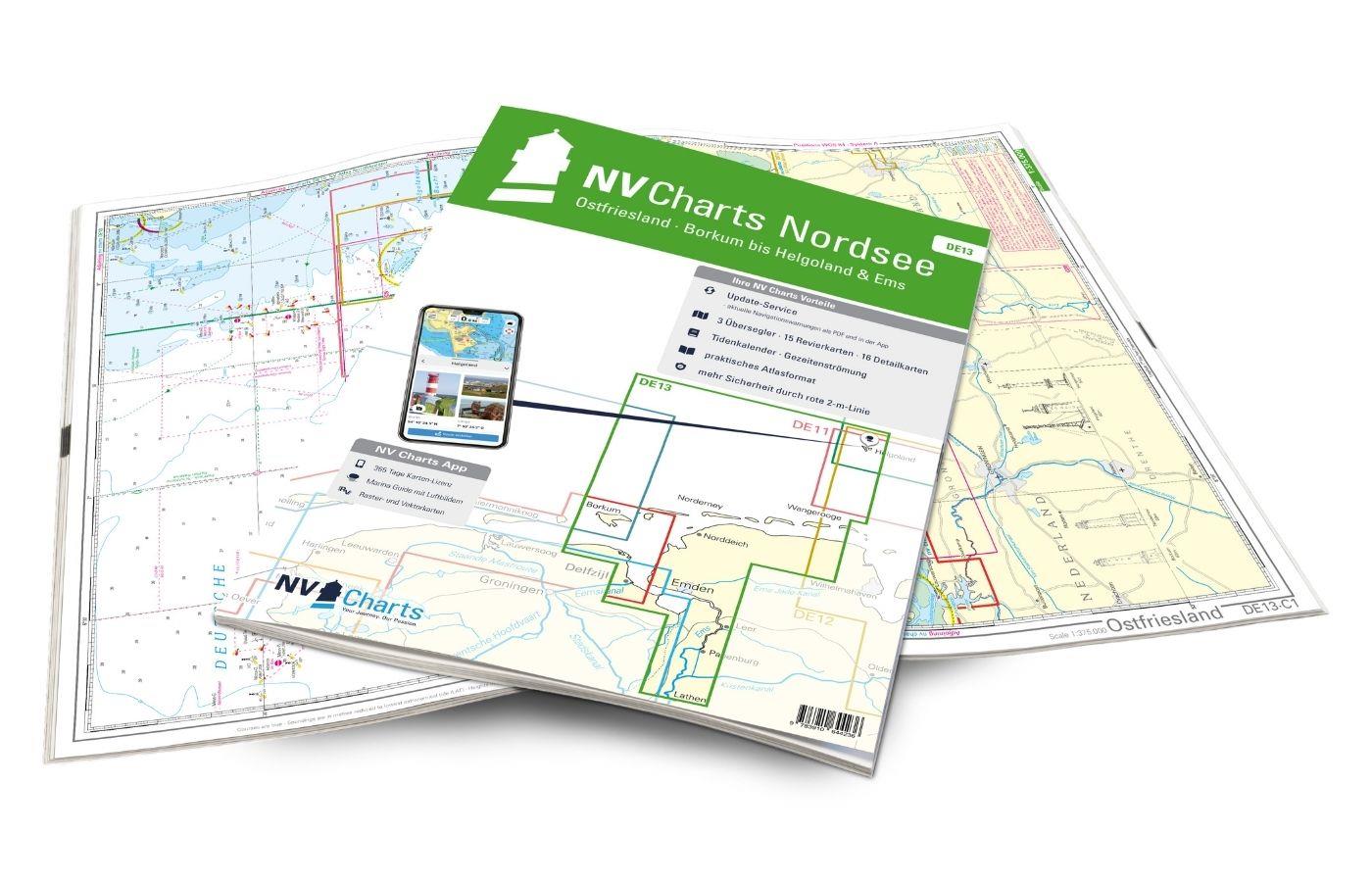
NV Atlas Ostfriesland DE13 - Borkum bis Helgoland & Ems
The East Frisian islands of Borkum, Juist, Norderney, Baltrum, Langeoog, Spiekeroog and Wangerooge are both attractive and demanding. Seemingly endless expanse, the fresh breeze and long beaches chara

Variants from €58.49*
€64.99*
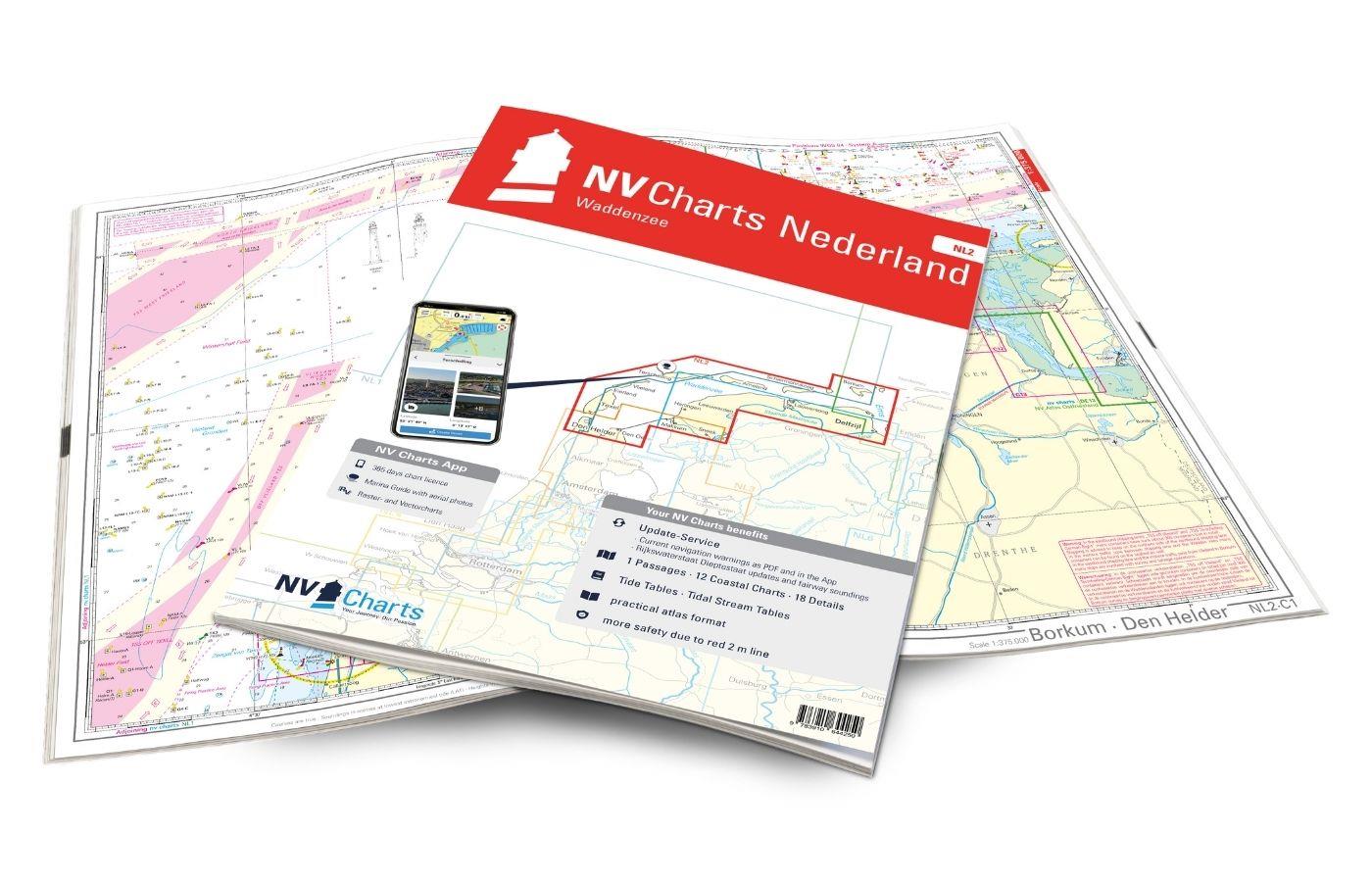
NV Atlas Nederland NL2 - Waddenzee
The NL2 is the ideal chart to experience the Waddenzee region. The water sports area is characterized by a high tidal range and a rough, sometimes almost untouched landscape. The chart covers the Germ

Variants from €58.49*
€64.99*
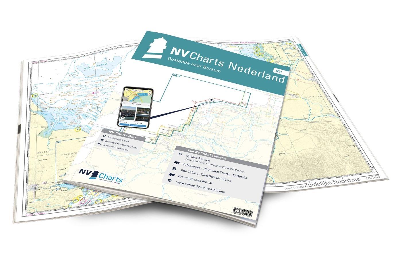
NV Atlas Nederland NL1 - Borkum naar Oostende
The Dutch NV nautical charts start with the NL1. This chart set connects with the most southern German North Sea chart DE13 and is the ideal chart to get directly to the United Kingdom or to cross the

Variants from €51.99*
€64.99*

Products near this article

Products near this article

NV Atlas UK5 Thames Estuary to Great Yarmouth
The UK5 is suitable for those who want to set off from the Netherlands towards the east coast of England above London. But even those who want to continue exploring the coast northwards from Sussex ar

€64.99*
East Coast Pilot
The Area Guide to the East Coast of England from Great Yarmouth to Ramsgate in EnglishThe East Coast Pilot not only covers the many harbours rivers and creeks in a clear and concise manner but als

€34.50*

Reviews

0 of 0 reviews

Leave a review!

Share your experiences with other customers.