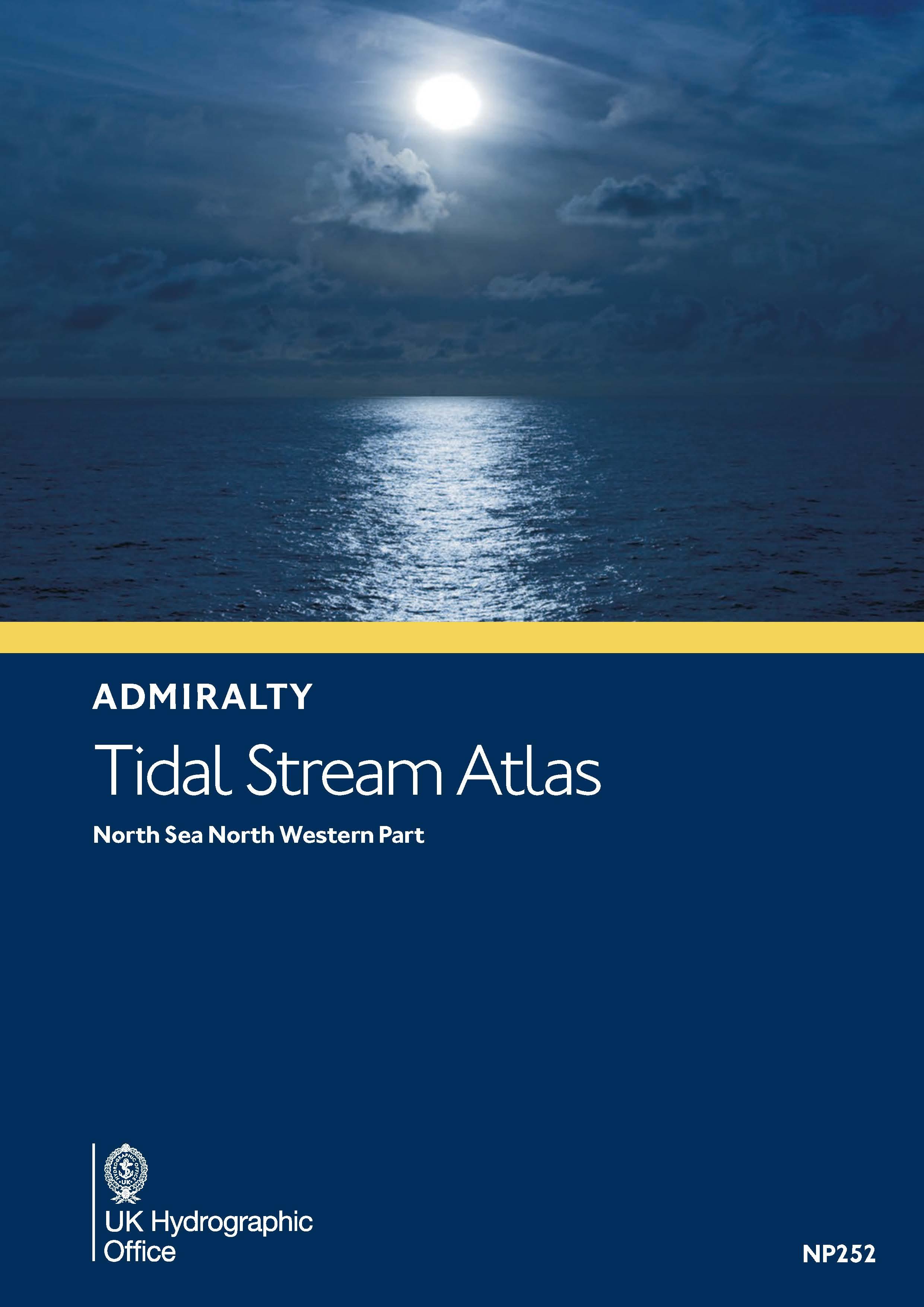
Gezeitenstromatlas NP252 North Sea, North Western Part

Chart ID: NP252

€33.90*


Product number: 30601

Description

Tidal Stream Atlas 252 covers the North Sea north-western part.Tidal stream atlases show in diagrammatic form the major tidal streams for selected waters of NW Europe. They show at a glance both direction and rate of tidal streams at hourly intervals by careful and accurate use of graded arrows. They also display mean neap and spring tidal rates in tenths of a knot. They include diagrams to assist you to calculate the tidal stream rate for your required day.
Format: Softcover / Taschenbuch
Language: Englisch
Area preview

With the help of our area preview, you can get an impression of which geographical region the product deals with or which areas a nautical chart covers.

Related products to this item

Related products to this item

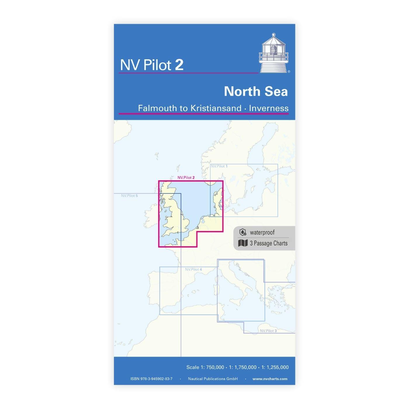
NV Charts Pilot 2, North Sea - Falmouth to Kristiansand - Inverness
NV Charts Pilot 2, North Sea - Falmouth to Kristiansand - InvernessThe Pilot 2 from NV Charts is the planning chart that is needed for the North Sea. The west coast of Denmark, the German North Sea an

€24.99*
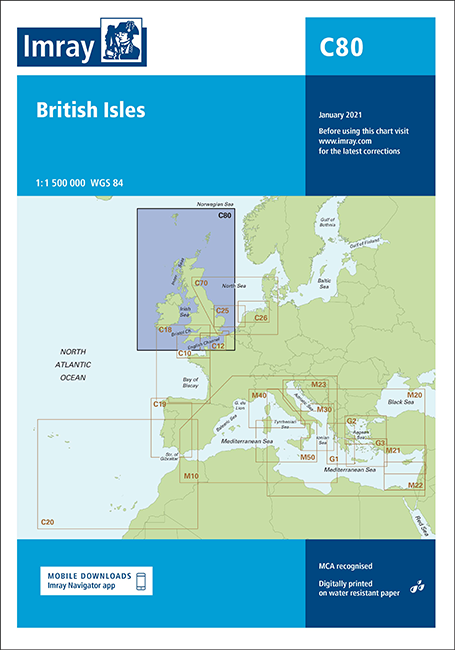
IMRAY CHART C80
British IslesThis map is a new addition to Imrays C series provides an overview of Great Britain Ireland and neighbouring islands including Orkney Faroe Islands and Shetland.

€34.90*
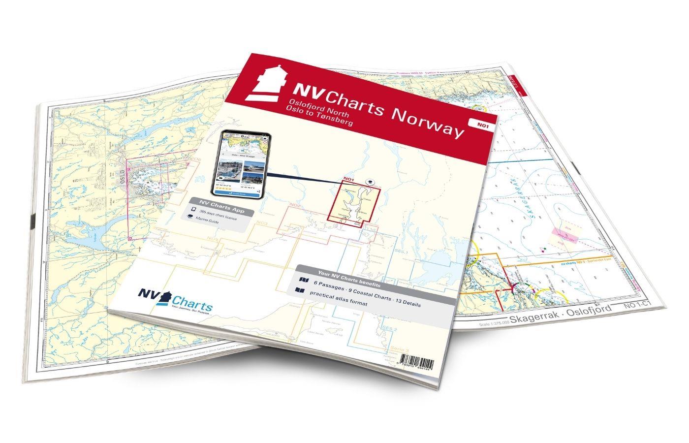
NV Charts Norway NO1 - Oslofjord Nord, Oslo to Tønsberg
The NV Charts Norway Atlas NO1 covers the region around Oslo. NV Charts charts for the Norwegian coast are based on data from the Norwegian Hydrographic Office and also include the harbour plans of th

€74.99*
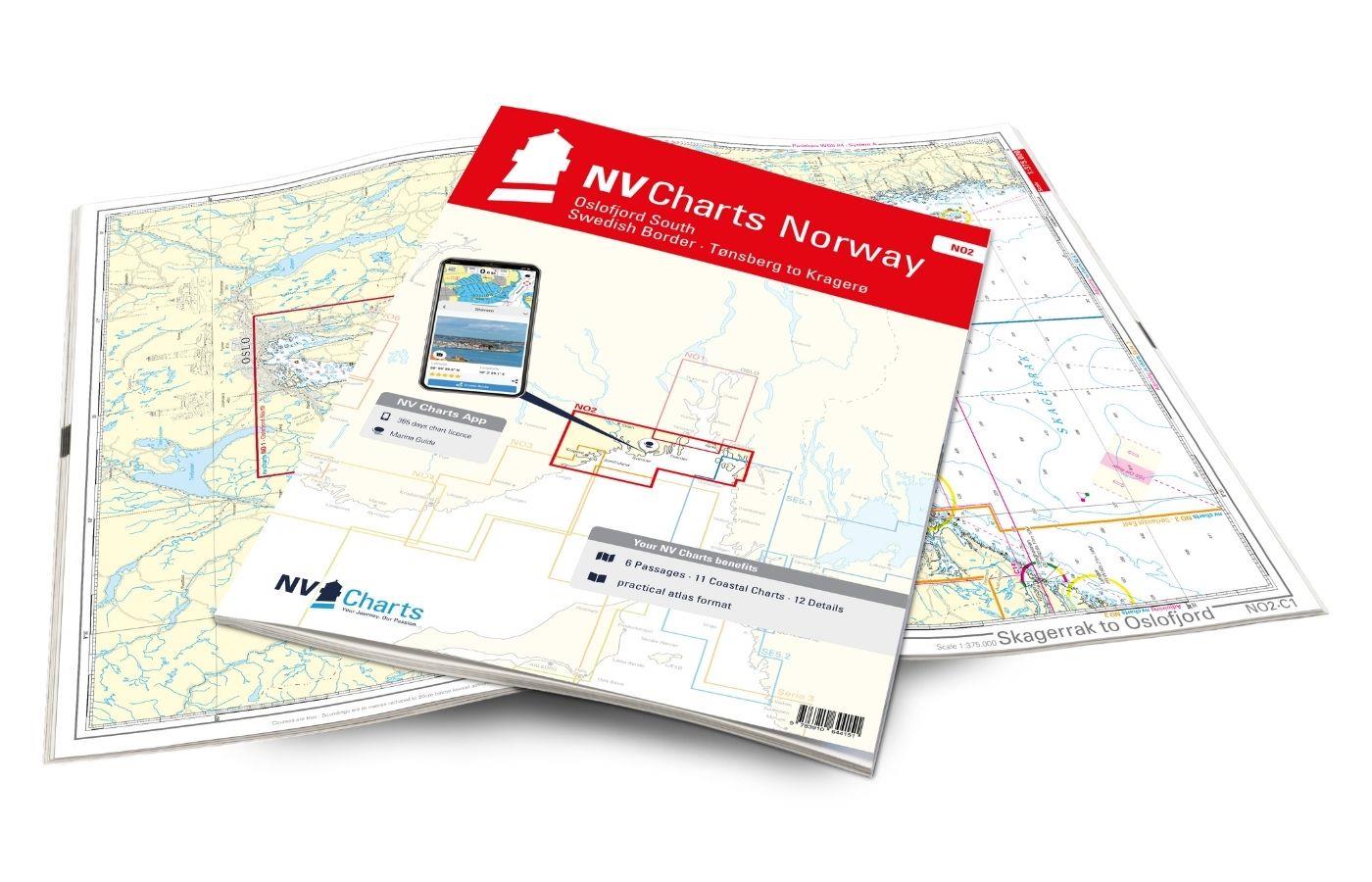
NV Charts Norway NO2 - Oslofjord Sør, Svenska Grensen til Kragerø
The NV Charts Atlas NO2 covers the southern Oslofjord. NV Charts for the Norwegian coast are based on data from the Norwegian Hydrographic Office and also include the harbour plans of the "Norske Los"

€74.99*
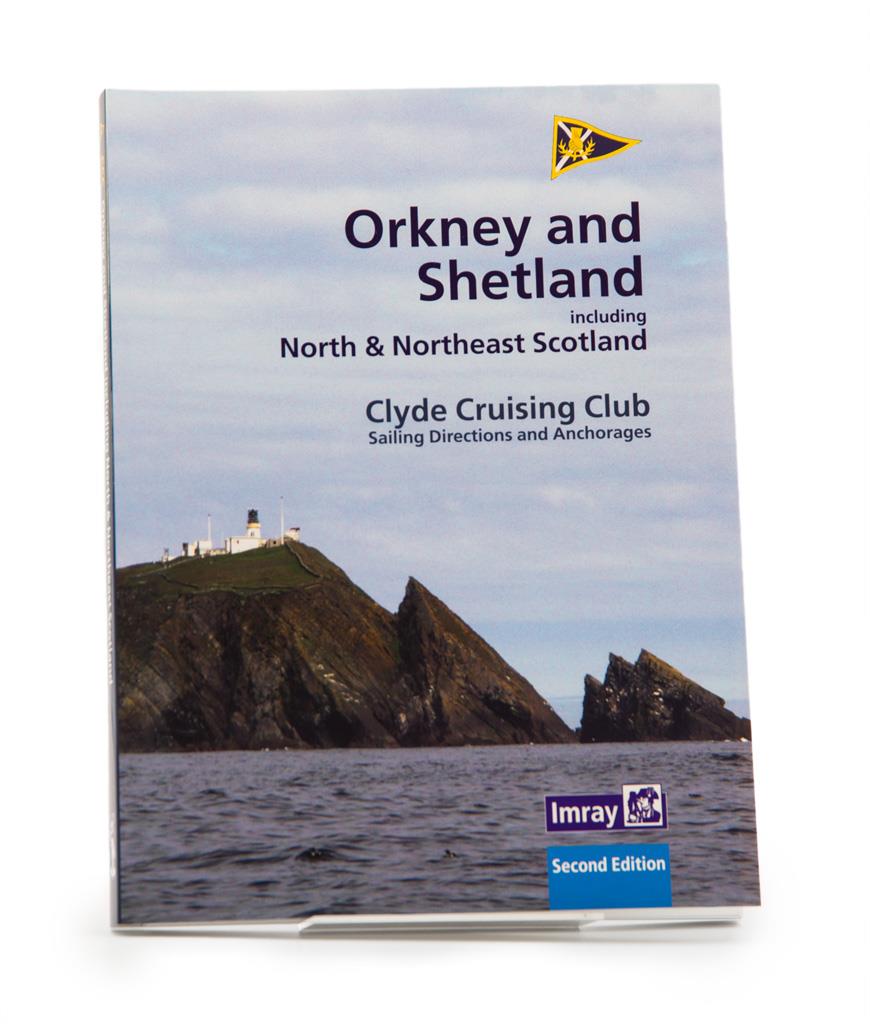
CCC Orkney and Shetland Islands including North & Northeast Scotland
A cruising guide to the Orkney and Shetland Islands which includes Fair Isle. This cruising guide also covers the "jumping off ports" on the south side of the Pentland Firth and the Scottish main

€48.50*
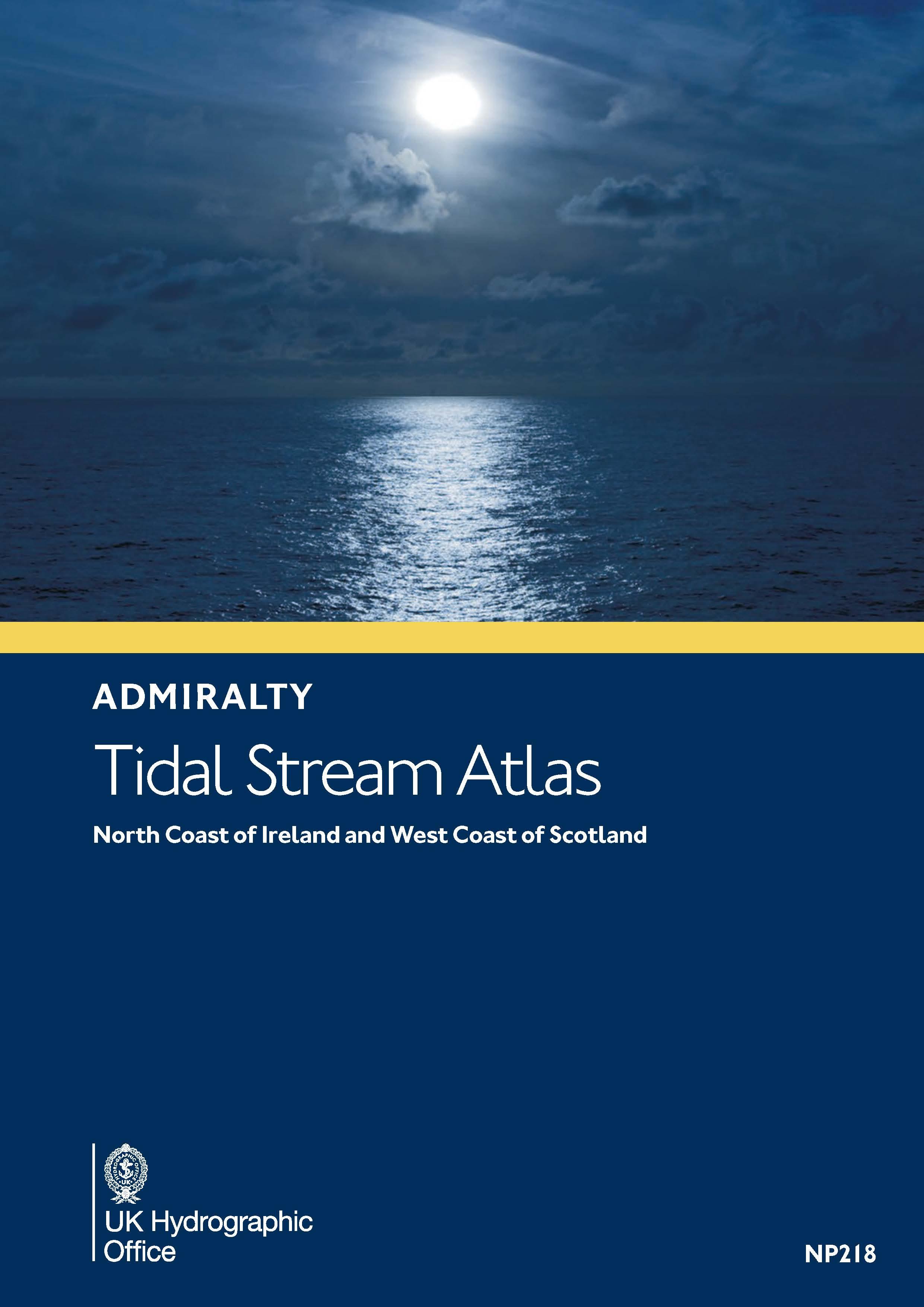
Gezeitenstromatlas NP218 North Coast of Ireland and West Coast of Scotland
This Tidal Current Atlas for the west coast of Scotland including the Outer and Inner Hebrides and the north coast of Ireland with the transition into the Irish Sea (ADMIRALTY NP218) explains the dire

€33.90*

Reviews

0 of 0 reviews

Leave a review!

Share your experiences with other customers.