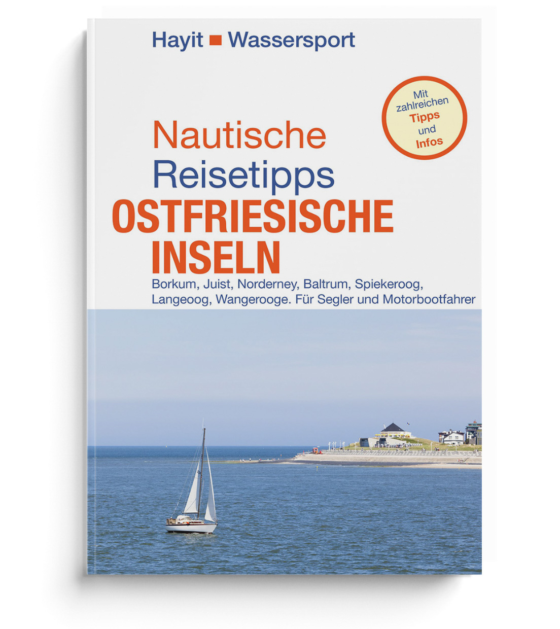
Nautische Reisetipps Ostfriesische Inseln
Description
The perfect cruising guide for Borkum Juist Norderney Baltrum Spiekeroog Langeoog Wangerooge
Beginners and experienced sailors and motorboat drivers alike will find useful information and tips on the individual islands marinas and excursion destinations. The book is both a useful guide for the chart table and suitable for preparation. One learns a lot of interesting facts about East Frisian islands whether with a charter yacht or with ones own ship.
With detailed descriptions of the facilities of the individual island marinas but also practical information for water sports enthusiasts in the Wadden Sea and nautical specialities as well as on topics such as "weather report" or "nautical charts".
Another focus of the guide is the individual places on the East Frisian Wadden Islands. A bit of history is included: "What used to happen here". And so that you can enjoy your stay on the islands you find out "whats going on today". With many tips for island leisure and island sports.
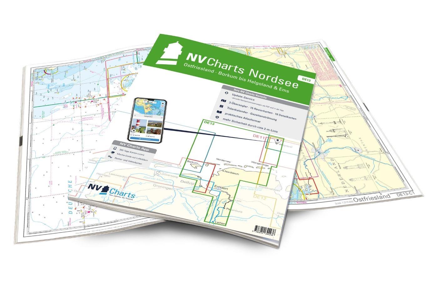
The books from Hayit Wassersport are known for their unbeatable up-to-dateness and in the case of the harbour guide Nautical Travel Tips East Frisian Islands for example form a perfect complement to the book Nautische Reisetipps Ostfriesische Inseln. perfect complement to the NV Charts Atlas DE 13 Ostfriesland - Borkum bis Helgoland & Ems
Contents
- Nautical tips and harbour info
- Useful information on approach draught and cruising possibilities
Practical tips on marinas
- Current harbour facilities and guest moorings Shopping facilities and places of interest
Travel extra
- The ports on the mainland
Nautical travel tips East Frisian Islands
Borkum Juist Norderney Baltrum Spiekeroog Langeoog Wangerooge. For sailors and motorboat drivers.
1st edition
Author: Ertay Hayit
approx. 160 pages with colour and b-w photos overview maps
Hayit Wassersport
ISBN: 978-3-87322-300-4 Print edition
| Author: | Ertay Hayit |
|---|---|
| Format: | Softcover / Taschenbuch |
| Language: | Deutsch |
| Region: | Deutschland, Nordsee |
With the help of our area preview, you can get an impression of which geographical region the product deals with or which areas a nautical chart covers.
Related products to this item
Reviews
Login

