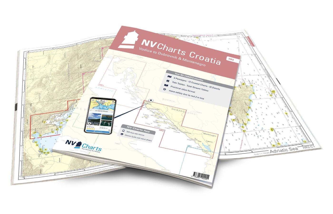
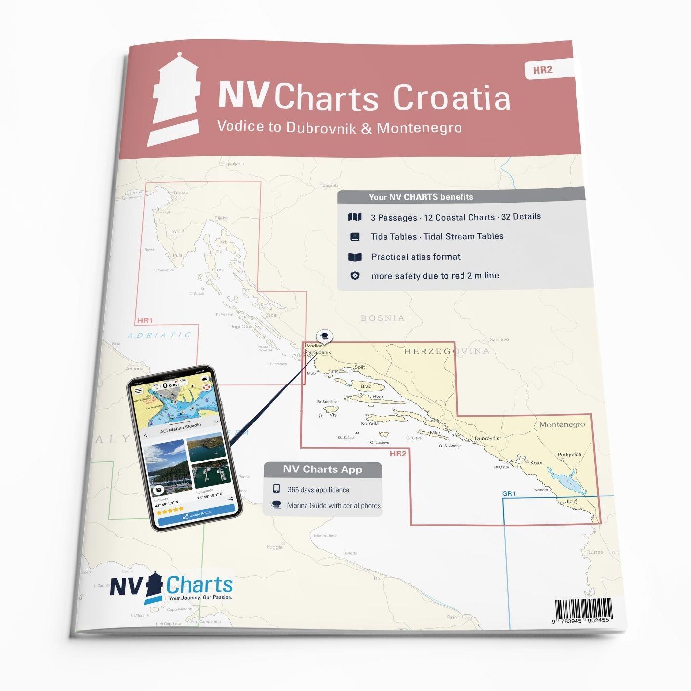
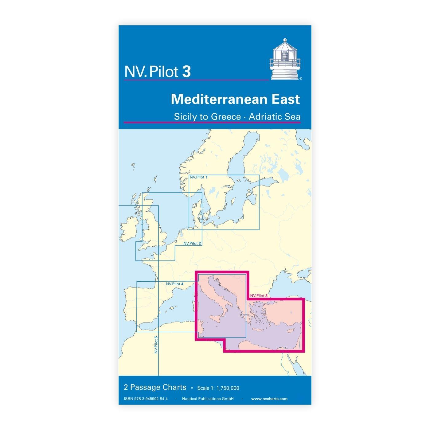
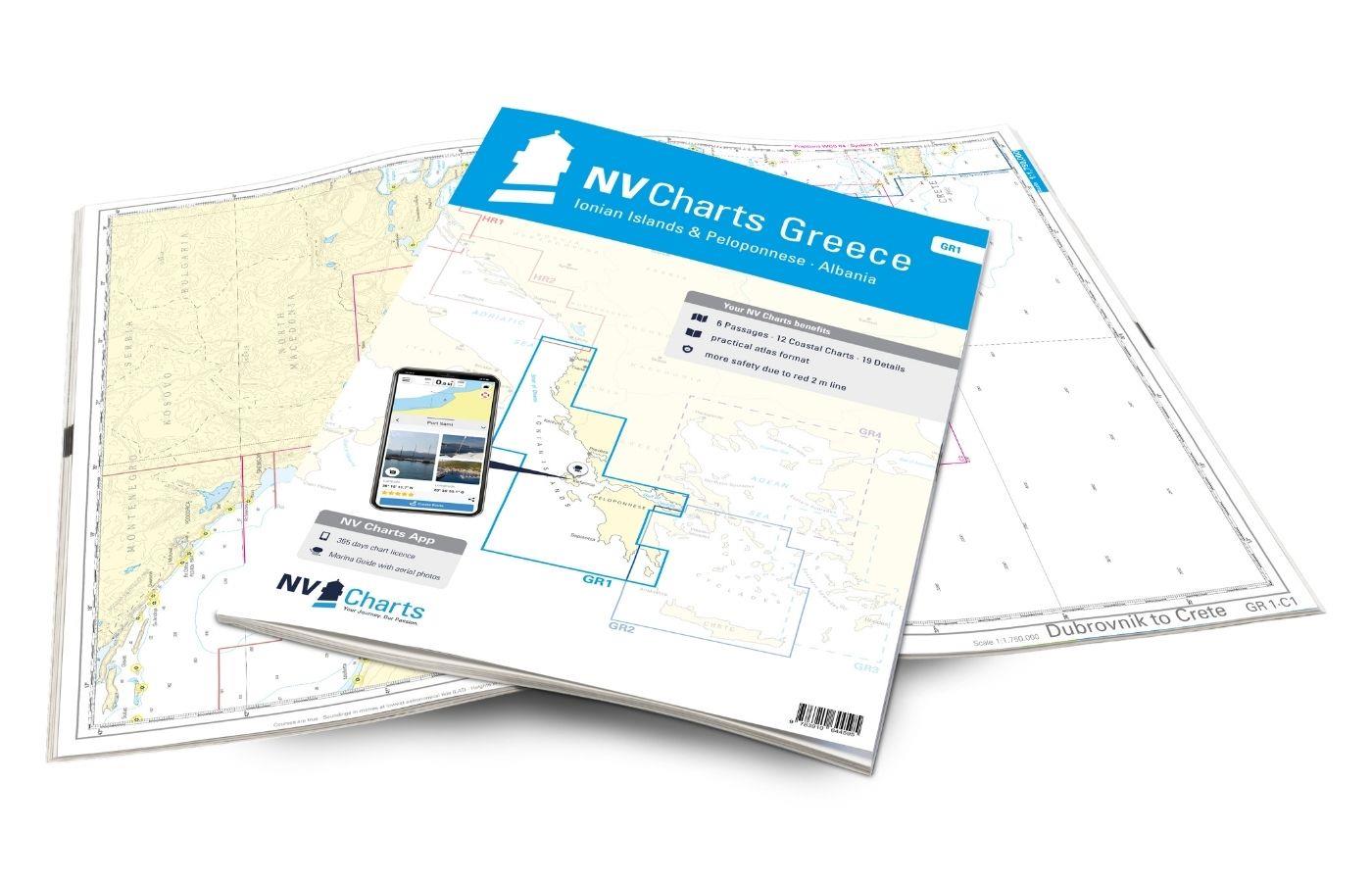
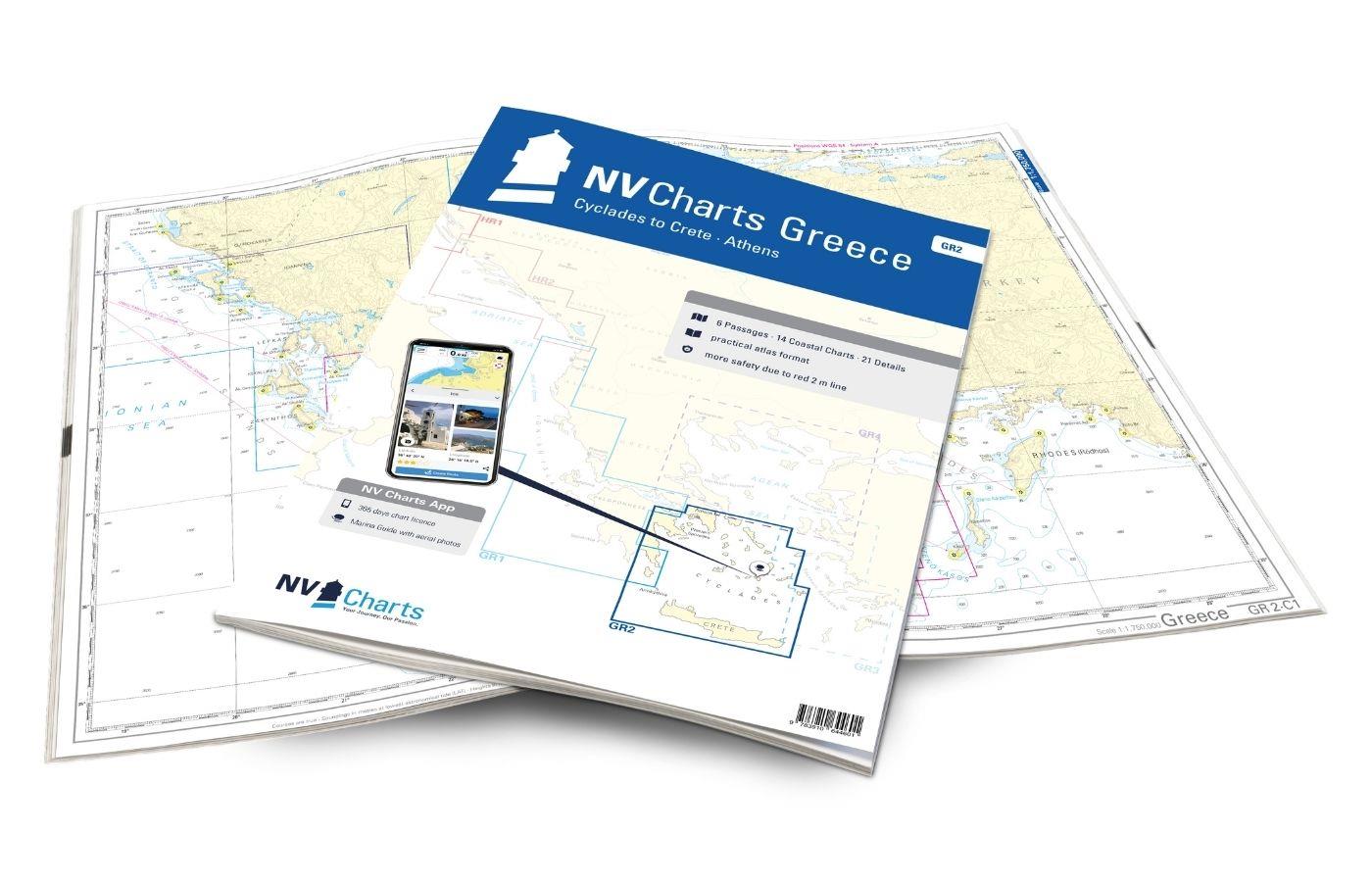
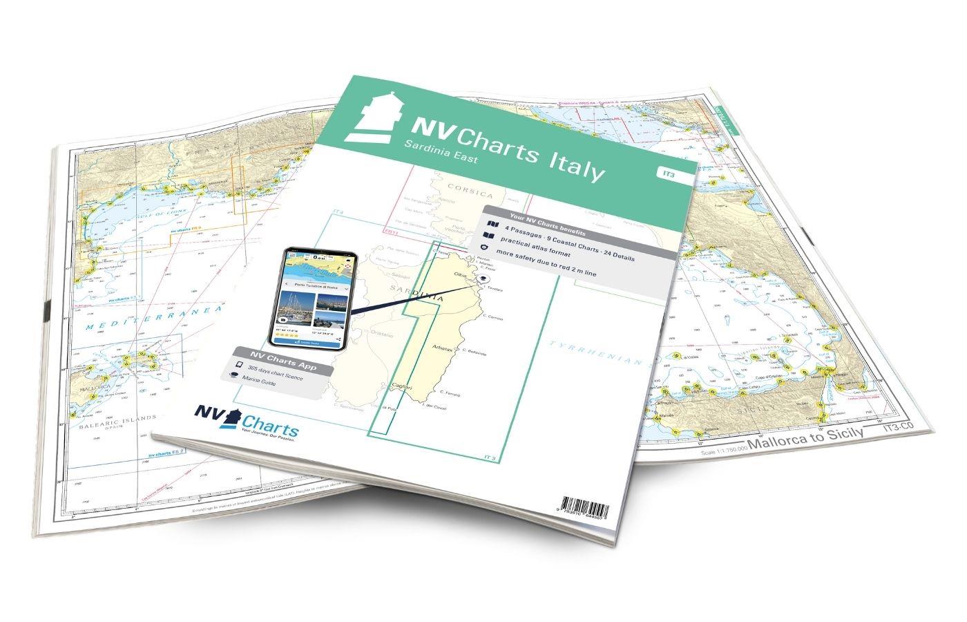
NV Charts Croatia HR 2 Vodice to Dubrovnik & Montenegro
Description
The pack of cards NV Charts HR2 is your reliable companion for Central Dalmatia to Montenegro. Thanks to the clear layout, recreational boaters can quickly find approaches, harbours and anchorages and are informed of important navigational details that also appear in the NV Charts app. The chart series impresses with its optimised dimensions and balanced sheet sections.
Regions overview
Croatia is very popular internationally with tourists and water sports enthusiasts thanks to its numerous harbours, breathtaking nature and turquoise waters. The south of Croatia in particular impresses with its charming landscape and the varied coastline with small fishing villages as well as vibrant cities such as Split and Dubrovnik. There is also something for every taste when it comes to moorings and anchorages. There are small jetties or luxurious marinas such as Marina Dalmacija on the east coast of the Adriatic in Sukošan or the multi-award-winning Marina Frapa in Rogoznica. The quieter anchorages can be found quickly and easily using symbols on the chart and will make your trip unforgettable. With this combination pack, you are perfectly equipped for your trip to the Croatian coast!
This set of maps includes
- 3 &sailors
- 12 territory cards
- 32 detailed maps
- Digital charts for navigation program and NV Charts App 356-day licence
- Navigation instructions in English
- Harbour plans paper & digital
- Fulfils all legal requirements for up-to-date paper charts on board
All advantages at a glance
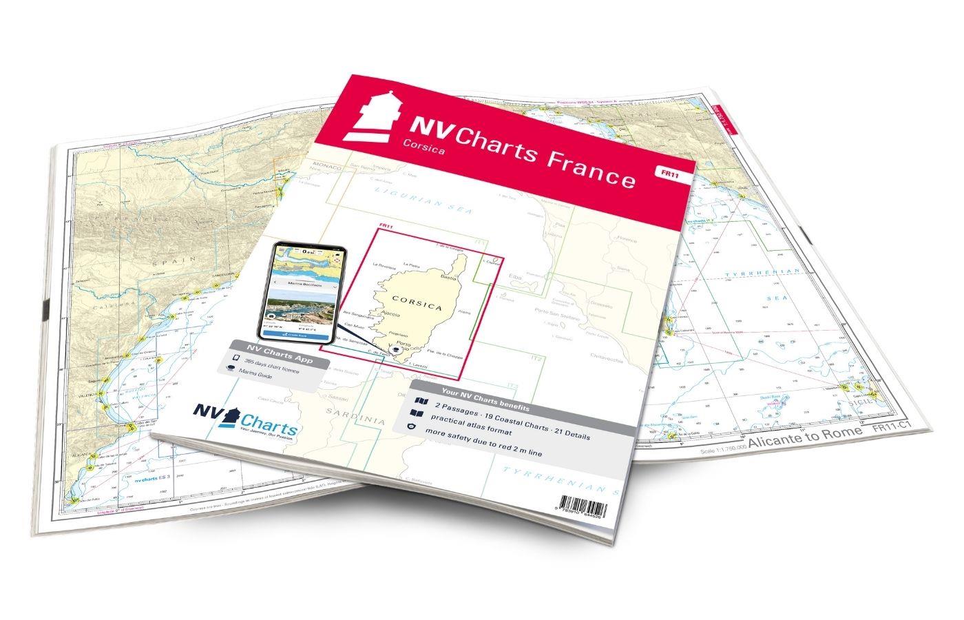
- NV Atlas chart format: Practical, handy atlas format, opened in A2, closed in A3 format, flat stapling in the centre - makes it easy to work with the course triangle
- NV Charts app: including access code to the digital nautical charts of the purchased area in the NV Charts app with 365-day licence, for offline navigation with the app on iOS, Android, PC, Mac or in the web browser, comprehensive harbour manual
- Extremely detailed: Nautical charts based on data from official surveys and own surveys, particularly detailed outside the main fairways
- Optimised for recreational boating
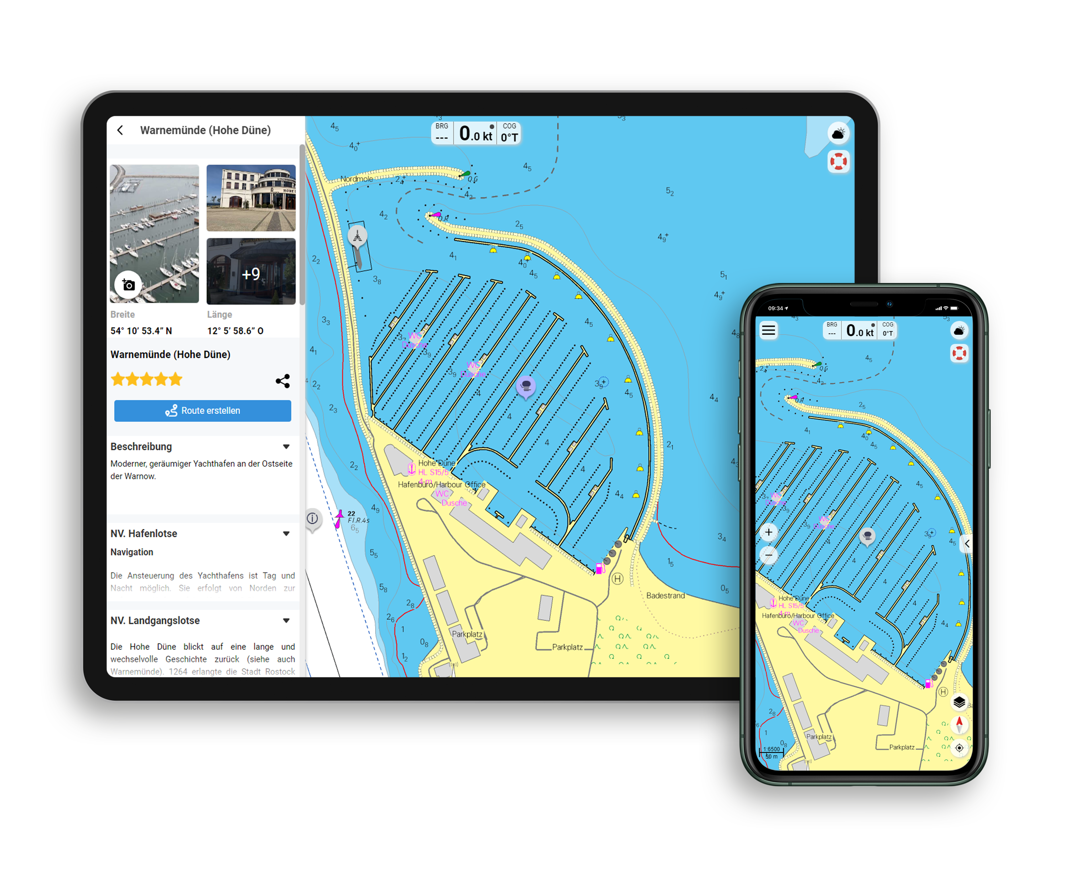
Functions of the NV Charts app
- Flexible autorouting
- Satellite overlay
- Augmented reality
- VMG (Velocity Made Good)
- BoatView harbour guide
- Track recording
- AIS connection and much more.
Charts and measures included
Passage Charts
C1 Adriatic Sea 1: 1,750,000 C2 Blitvenica to Mljet 1: 350,000 , C3 Mljet to Albania 1: 350,000
Coastal Charts
C4 Vodice to Rogoznica 1: 100,000 , C5 Rogoznica to Split 1: 100,000 , C6 Split to Hvarski Kanal 1: 100,000 , C7 Vis - Svetac 1: 100,000 , C8 Hvar West 1: 100. 000 , C9 Neretvanski Kanal 1: 100.000 , C10 Lastovski Kanal 1: 100.000 , C11 Lastovski & Mljetski Kanal 1: 100.000 , C12 Mljetski Kanal to Dubrovnik 1: 100.000 , C13 Dubrovnik to Rt. Oštra 1: 100,000 , C14 Rt. Oštra to Hr. Katici 1: 100,000 , C15 Hr. Katici to Rt. Mentra 1: 100,000
Details
16 Šibenik Approach 1:50,000 , 17A Split 1:30,000 , 17B Trogirski Zaljev 1:30,000 , 18A Split - Zenta 1:6,000 , 18B Maslinica 1:30,000 , 18C Splitska Vrata 1:30. 000 , 18D Viška Luka 1:20,000 , 19A Vrboska 1:30,000 , 19B Pakleni Kanal 1:30,000 , 20A Ploce 1:15,000 , 20B Makarska 1:10,000 , 20C Luka Slano 1:15. 000 , 20D Šipanska Luka 1:15.000 , 21 Stonski Kanal 1:20.000 , 22A Otok Korcula 1:30.000 , 22B Otok Lastovo 1:30.000 , 22C Dubrovnik - Lokrum 1:15. 000 , 23 Dubrovnik 1:15.000 , 24A Rijeka Dubrovacka 1:10:000 , 24B Tivat 1:10.000 , 24C Šibenik 1:20.000 , 25A Cavtat 1:15.000 , 25B Barsko Sidrište 1:25.000
Legend - General Notes p.26
| App License: | NV Charts App |
|---|---|
| Format: | NV Atlas, Gebundener Kartensatz |
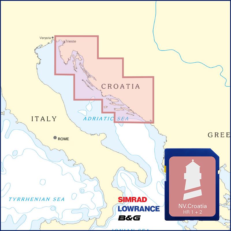
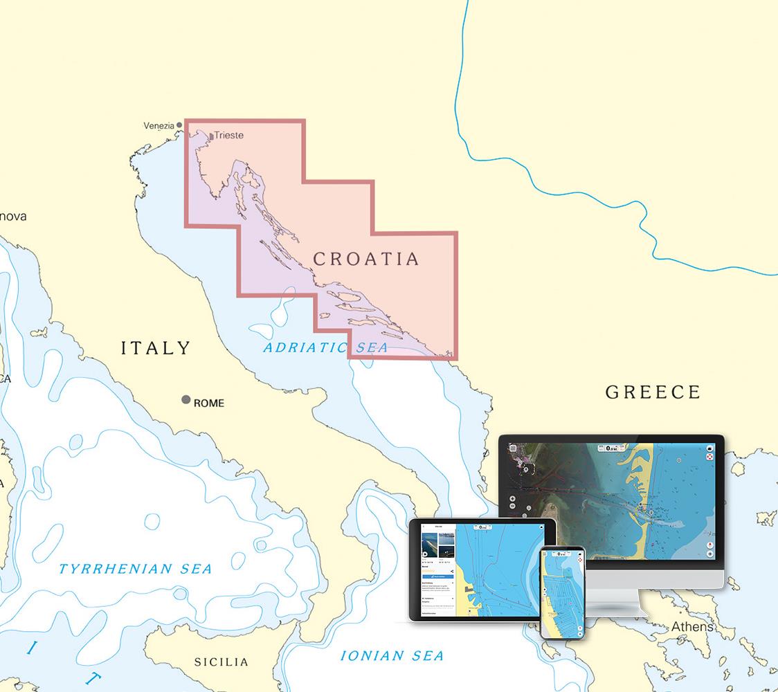
With the help of our area preview, you can get an impression of which geographical region the product deals with or which areas a nautical chart covers.
Reviews
Login
11 March 2021 15:28
Endlich gute Seekarten für Kroatien
Ahoi ! Wir haben die Kartensätze das erste mal auf unser Charteryacht in Murter gesehen und sind damit viel besser klargekommen als mit den "Jugo Büchern" Haben uns für künftige Reisen die beiden Kroatienkarten selber gekauft und lieben das gemeinsame Planen der nächsten Reise und in der App sind unglaublich viele Infos zu den Häfen gleich enthalten.

