North Sea
North Sea
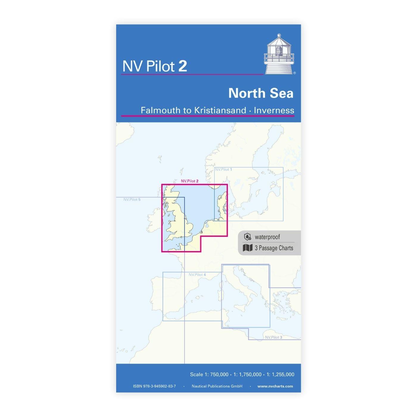
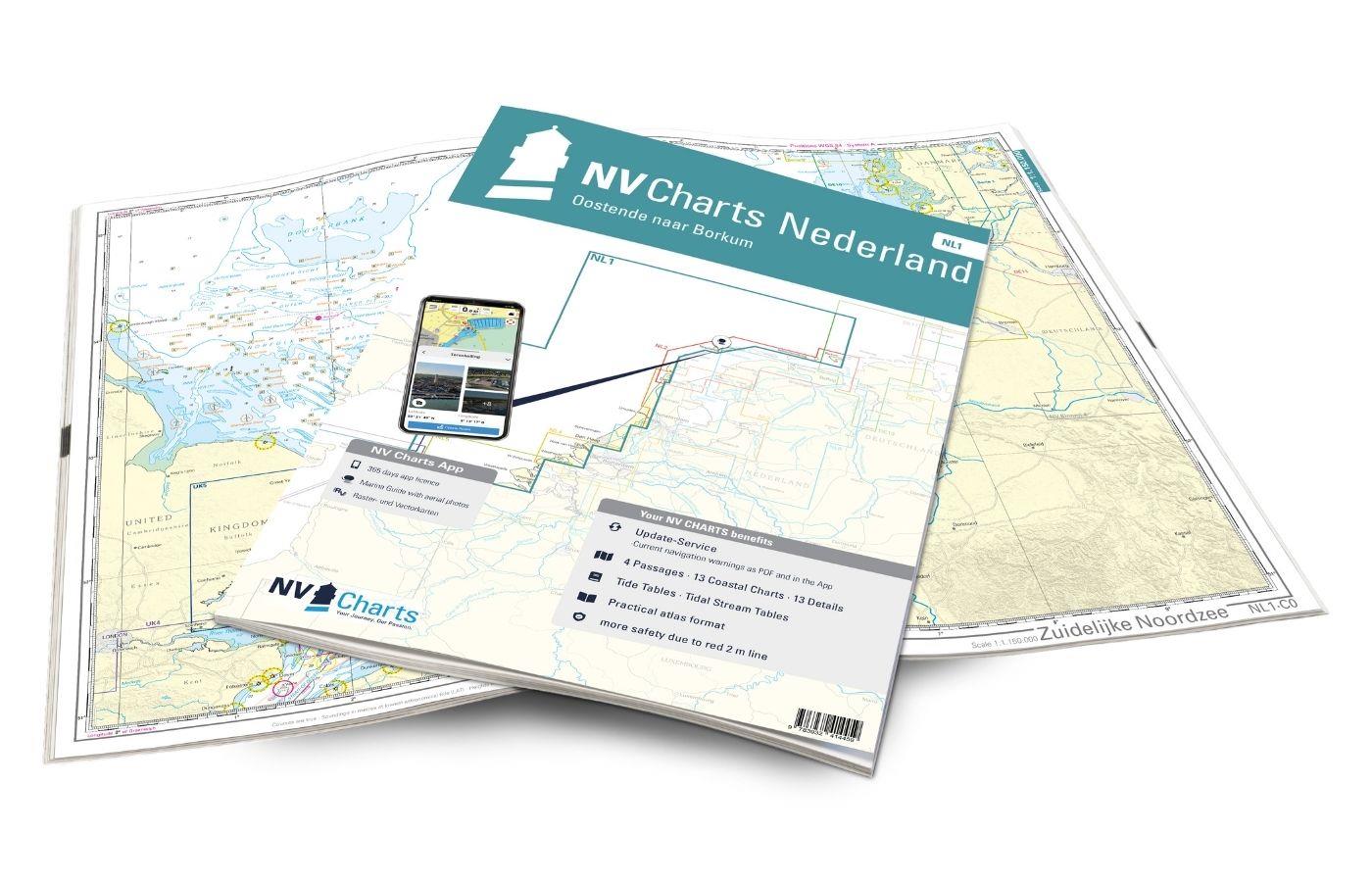
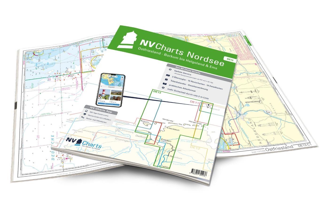
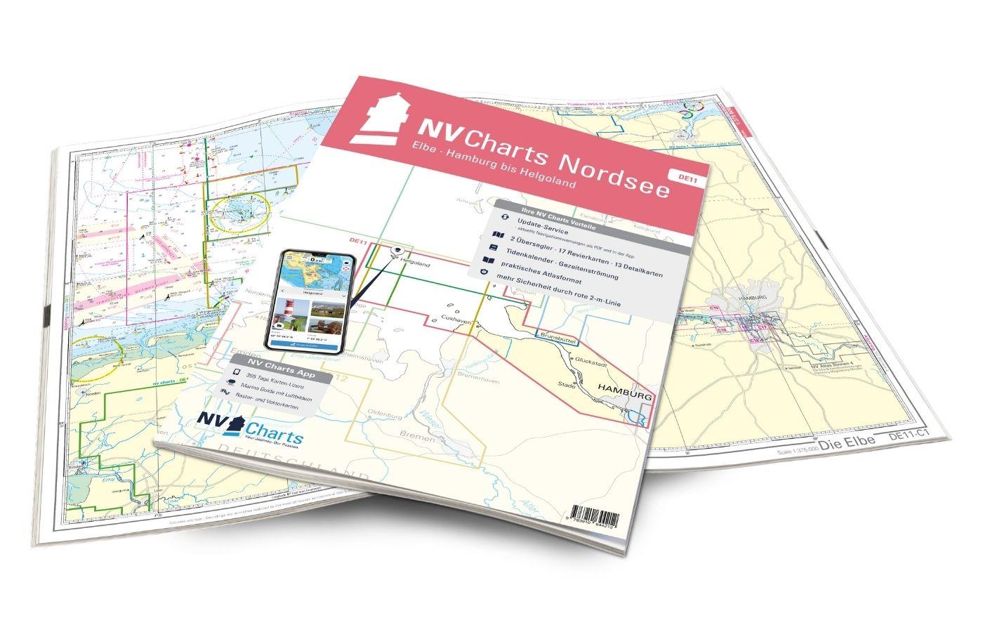
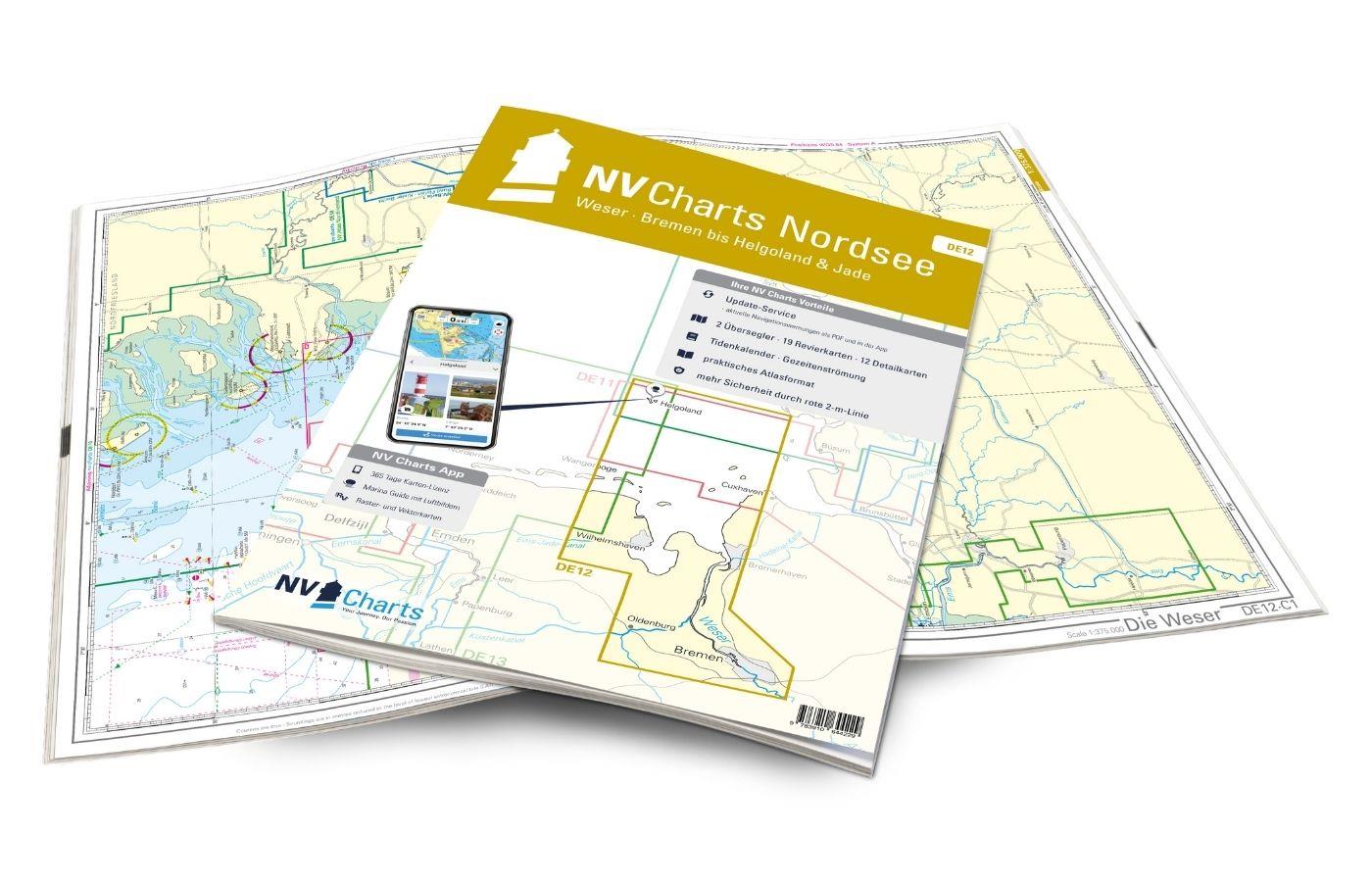
The North Sea with its changeable weather and sometimes rough seas is a demanding sailing area for which up-to-date and easy-to-read cartography is essential. It extends along the United Kingdom, Norway, Denmark, Germany, the Netherlands, Belgium and France. The NV North Sea nautical charts are your reliable navigation partner on your travels - our charts stand especially for quality and detail. The NV nautical charts for the North Sea cover the areas from the UK via the Netherlands up to Norway. The North Sea nautical charts are created using the latest data from the BSH.
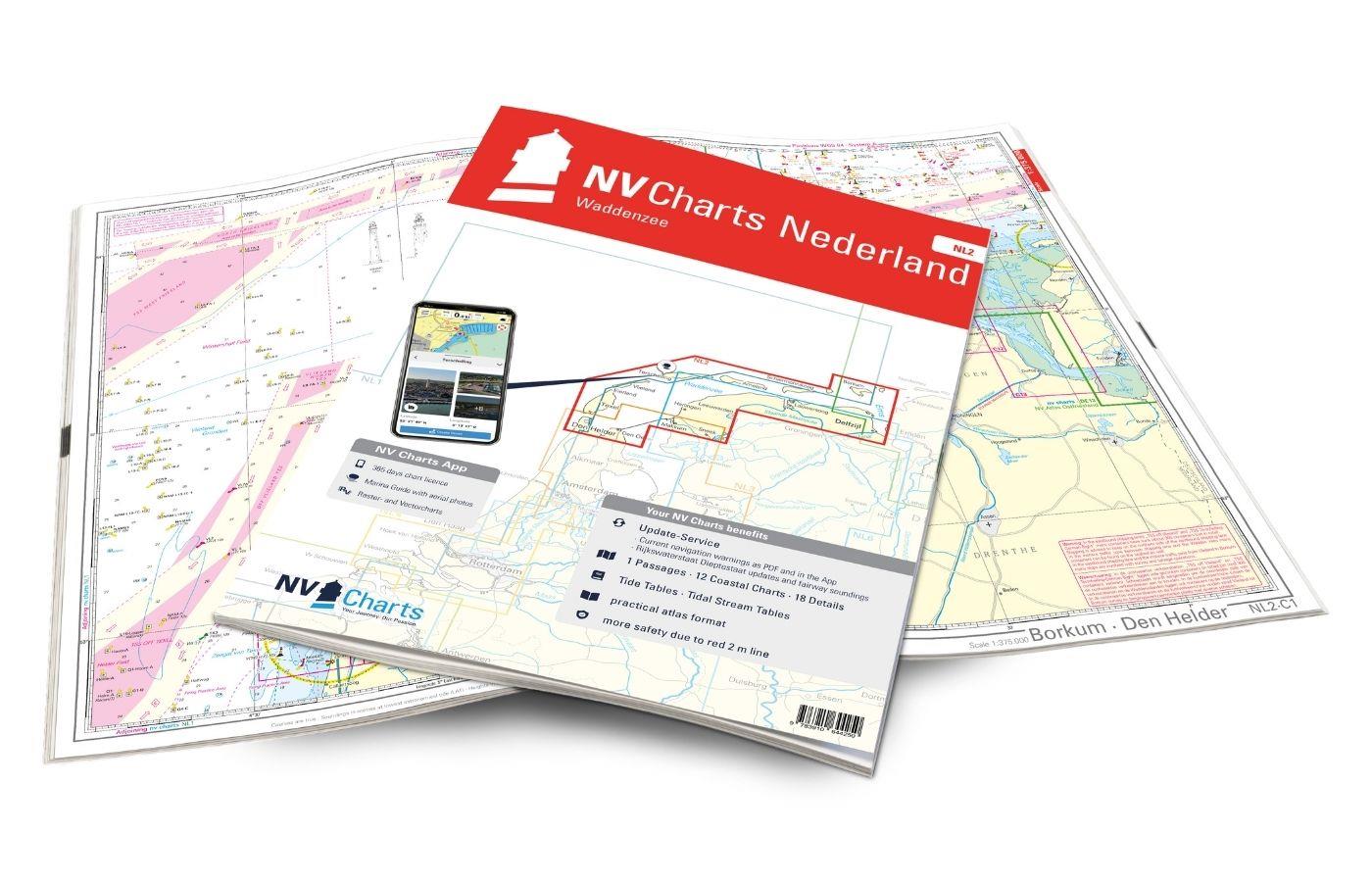
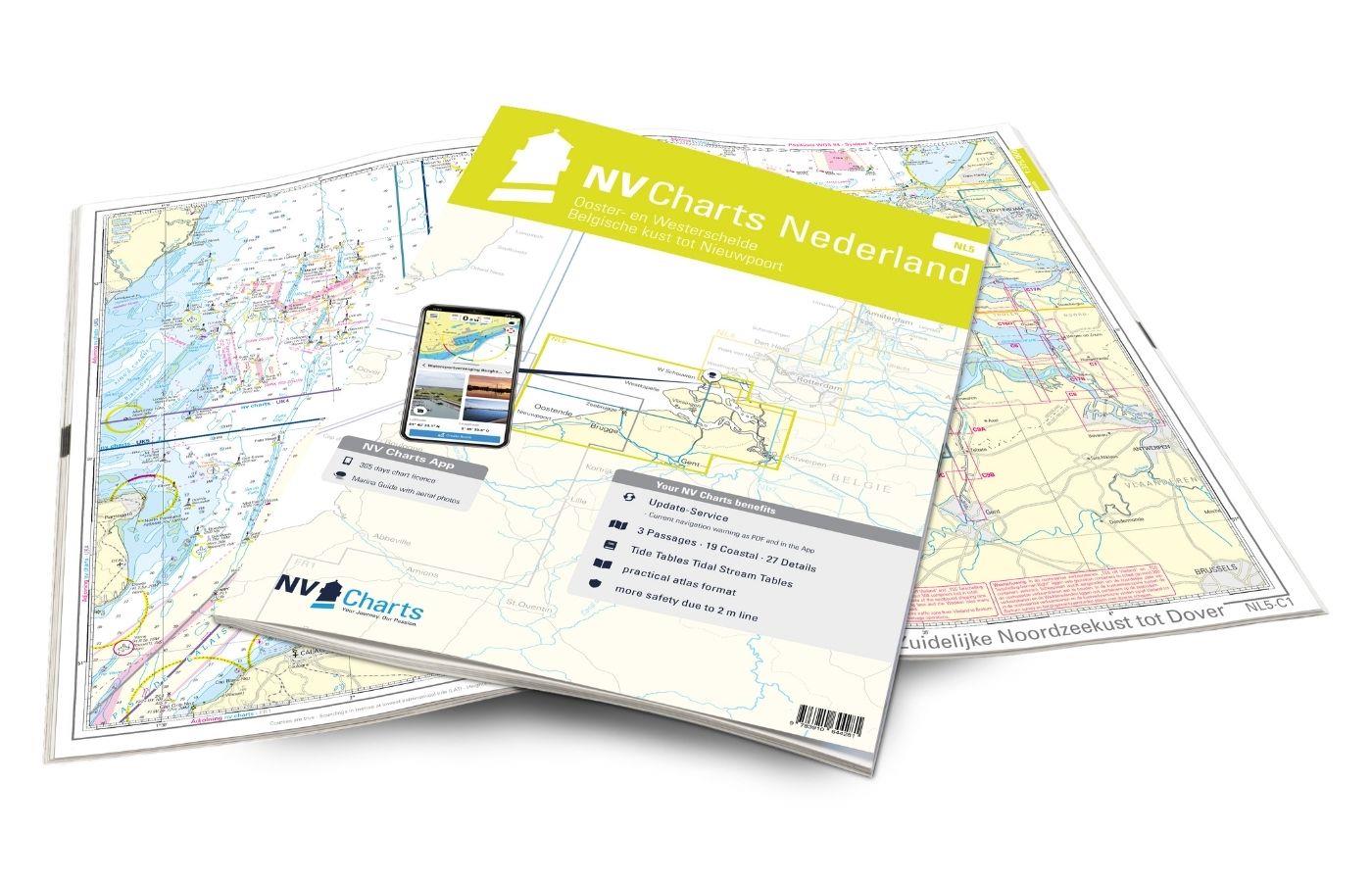
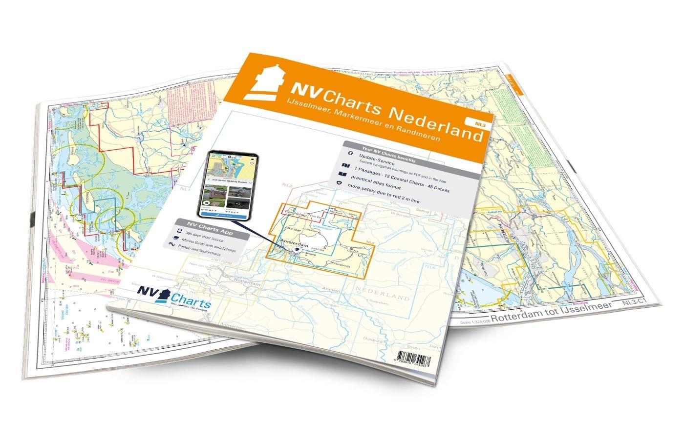
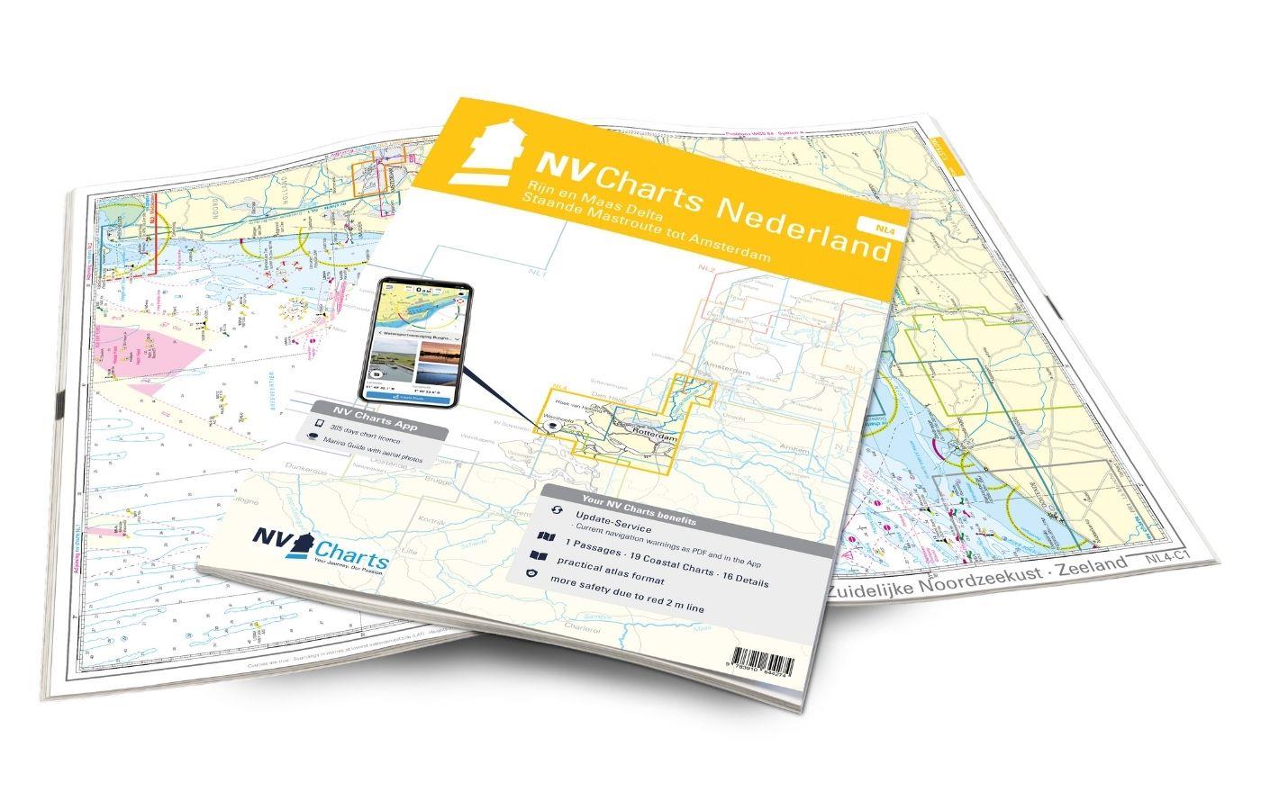
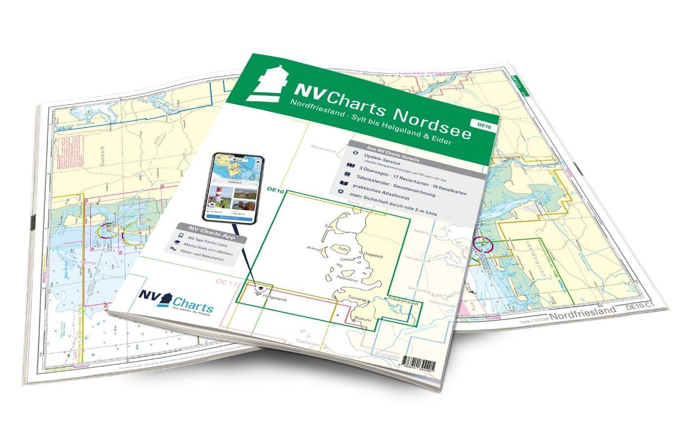
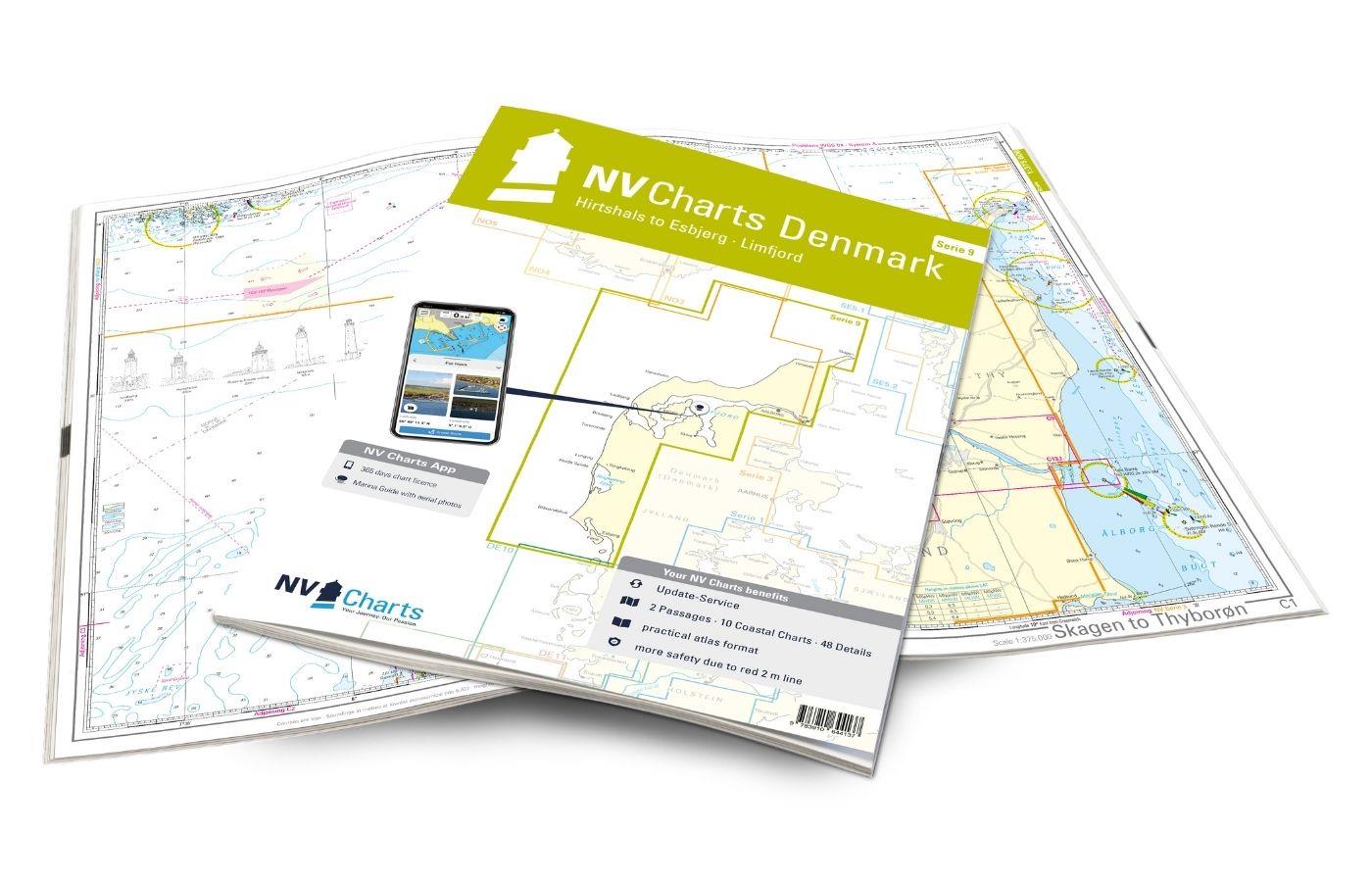
Who wants to sail along the west coast of Denmark and the Limfjord is with the NV Atlas Series 9 well advised. Sailing trips on the German North Sea coast and the East Frisian Islands are covered with the NV Atlases DE 10 - 13: From Sylt via Helgoland to Hamburg. For the very popular Dutch coast with its breathtaking nature the chart sets can be found in the NV Atlases NL 1-5.

