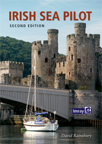
Irish Sea Pilot

Chart ID: IB0226

€43.00*


Product number: 22436

Description

A Territorial Guide to the Irish Sea: Wales North Wales South England Ireland North Ireland South and Isle of Man

TheIrish Sea is a vast almost landlocked sea. Around its shores and islands are no fewer than six countries provinces or protectorates.
Multiple languages are represented - English Welsh Irish Scottish Gaelic and Manx as well as myriad accents and dialects. Its waters are teeming with life - dolphins and porpoises are a common sight - leatherback turtles come here from the Caribbean to feed on the jellyfish and whales are regular visitors. In the air are gulls puffins loons and more. The range of challenges and coastlines is amazing. Tides over five knots are commonplace yet there are calm sheltered waters for relaxed walking.

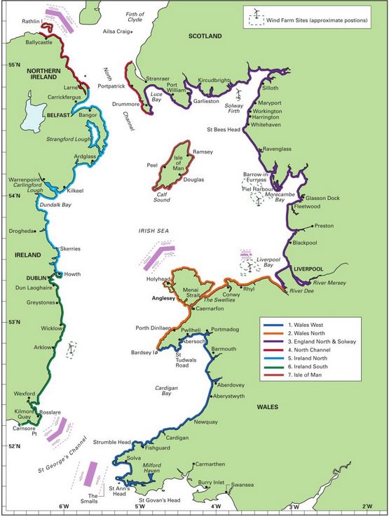
This cruising guide covers both sides of the Irish Sea from Milford Haven to Portpatrick and Rathlin Island to Carnsore Point. From his base in Liverpool David Rainsbury spent much of 2014 visiting the coasts he described. The sailing instructions and descriptions updated for this second edition cover all locations such as harbours anchorages . At the beginning of each chapter there is useful approach and departure information dealing with some of the more difficult passages and tide gates. The harbour descriptions are clearly structured so that essential information on accessibility tides and accommodation can be found quickly and are supported by full-colour maps.

For this second edition the harbour maps have been updated and new photographs added. The text records all changes and includes a new section on wind farms.

Comments:

All the important data a yachtsman needs is there written concisely and clearly. Yachting Monthly

Coverage:

Irish

Recommendations:

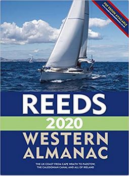
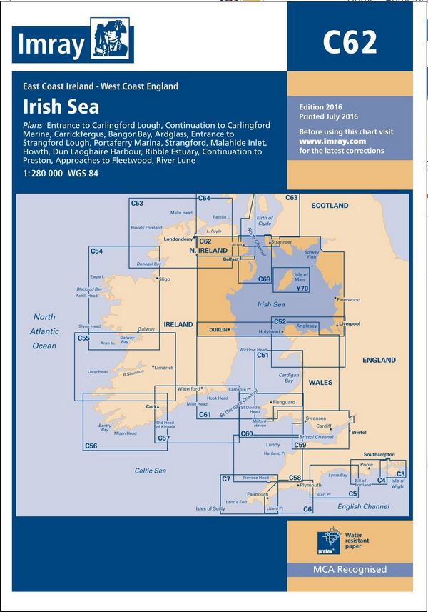
Reeds WesternC622700

Area preview

With the help of our area preview, you can get an impression of which geographical region the product deals with or which areas a nautical chart covers.

Reviews

0 of 0 reviews

Leave a review!

Share your experiences with other customers.


Reeds Channel Almanac 2024
Detailed guide to the Channel coastA great help for water sports enthusiasts in a handy spiral binding. Extracted from the large "Reeds Nautical Almanac" with full details - the coverage is limited to

€49.99*
Gebietsvorschau für East Coast Rivers Cruising Companion öffnen
East Coast Rivers Cruising Companion
East Coast Rivers covers the rivers creeks shoals and river sections of the Thames Estuary and surrounding rivers stretching from Lowestoft to Ramsgate.Since 1956 when Jack Coote Jans father published

€49.90*
Gebietsvorschau für CCC Orkney and Shetland Islands including North & Northeast Scotland öffnen
CCC Orkney and Shetland Islands including North & Northeast Scotland
A cruising guide to the Orkney and Shetland Islands which includes Fair Isle. This cruising guide also covers the "jumping off ports" on the south side of the Pentland Firth and the Scottish main

€48.50*
Gebietsvorschau für CCC Kintyre to Ardnamurchan öffnen
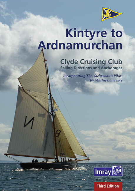
CCC Kintyre to Ardnamurchan
CCC Sailing Directions - Kintyre to Ardnamurchan Das von diesem Führer abgedeckte Gebiet erstreckt sich vom Mull of Kintyre bis zur Halbinsel Ardamurchan und umfasst einige der schönsten Segelgeb

€48.50*
Gebietsvorschau für Reeds Nautical Almanac 2024 öffnen
Reeds Nautical Almanac 2024
The comprehensive cruising guide for the North Sea, British Isles and European Atlantic coast offers all the information you need in a compact almanac, from passage planning and up-to-date port plans

€59.00*
Gebietsvorschau für East & North Coast of Ireland öffnen
East & North Coast of Ireland
A sailing guide to the north-east coast of IrelandFrom Kilmore Quay and Carnsore Point north via Malin Head to Bloody Foreland. This 13th fully revised edition of the East & North Coasts of Ireland Sa

€48.50*
Reeds Eastern Almanac 2024
Detailed guide to the east coast of England to the Shetland Islands and the North Sea coast of the Netherlands and Belgium.A great aid for watersports enthusiasts in a handy spiral binding. Extracted

€49.99*
Gebietsvorschau für Isles of Scilly öffnen
Isles of Scilly
The Isles of Scilly Cruising Guide The new edition of this comprehensive guide to the Isles of Scilly has been completely revised and updated. Background information on the islands their history and f

€38.20*
CCC Firth of Clyde
Firth of Clyde covers everything from the busy waters of the Firth of Clyde and River Clyde to the more remote areas of the wider estuary and connected lochs, including the protected and beautiful Kyl

€48.50*
London's Waterways
Exploring the capitals rivers and canals. Gorgeous photography providing an in-depth look at the many and varied waterways London has to offer. Großformat 160 Seiten 2010. Besorgungstitel Lieferzeit c

€27.80*
New
Reeds Channel Almanac 2025
Detailed guide to the Channel coastA great help for water sports enthusiasts in a handy spiral binding. Extracted from the large "Reeds Nautical Almanac" with full details - the coverage is limited to

€50.10*
Gebietsvorschau für CCC Ardnamurchan to Cape Wrath öffnen
CCC Ardnamurchan to Cape Wrath
CCC Sailing Directions - Ardnamurchan to Cape WrathThe area covered in this guide covers the northern section of the Scottish west coast from Ardnamurchan Point to Cape Wrath, including the whole of S

€48.50*