Norway (RCC)

Chart ID: IB0166-2

€77.00*

% €81.20* (5.17% saved)
 
 
Product number: 22492

Description

A comprehensive cruising guide to the entire Norwegian coastal area from Oslo to Nordkapp and Svalbard.

This RCC cruising guide covers the long and complex coastline of Norway from the Swedish border in Skagerrak to the Russian border including the islands of Lofoten and Vesterålen the Arctic archipelago of Spitsbergen (Svalbard) and the remote volcanic island of Jan Mayen. The work is fully illustrated mainly with the authors photographs and is divided into a general introduction about Norways maritime territory and eight coastal sections describing routes islands fjords harbours and anchorages. The first chapter includes a section on cruise planning with detailed information on Norwegian weather and sailing conditions. 

Comments

"Any sailor even considering a visit to this one of the most beautiful cruising grounds could be considered negligent if they dont buy this book." - RHR Cruising

A reader commented : "...The author finds it difficult to avoid superlatives when talking about the Norwegian landscape. I find it equally difficult to avoid superlatives when talking about this book. I am impressed. Even most Norwegians can learn many facts from this excellent book. This will remain a classic and new editions will be published in the foreseeable future...."

"For anyone sailing in Norwegian waters this book is an absolute must. It is the perfect example of a truly excellent cruising guide with virtually nothing missing." Christine Holroyd Cruising Association Magazine.

Author: Judy Lomax
Format: Hardcover / gebunden
Language: Englisch
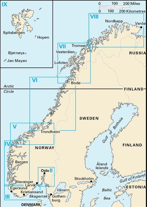
Area preview

With the help of our area preview, you can get an impression of which geographical region the product deals with or which areas a nautical chart covers.

Related products to this item

Related products to this item

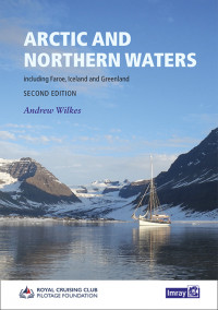
Arctic and Northern Waters
Arctic and Northern WatersThis RCC Pilotage Foundation handbook covers the Northwest and Northeast Passages through the Arctic Ocean as well as the Faroe Islands Iceland and Greenland.Including inform

€79.00*
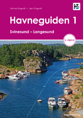
Havneguiden 1 Svinesund - Langesund
Boaters planning to sail the Oslo Fjord should definitely have the Havneguiden1 (Svinesund to Langesund) on board as a cruising guide.This is a Norwegian-made guide to ports, with unique aerial photos

€74.90*
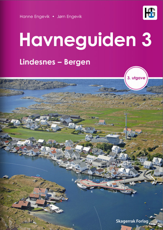
Havneguiden 3 Lindesnes - Bergen
When the rugged and beautiful southwest coast of Norway calls, be sure to take Havneguide 3 with you as it guides you from Lindesnes to Bergen.The most comprehensive Norwegian cruising guide has over

€74.90*
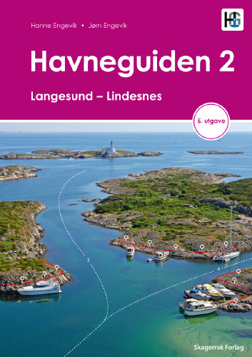
Havneguiden 2 Landesund - Lindesnes
The sophisticated south-east coast of the Oslofjord is much easier to conquer when Havneguide 2 is allowed to accompany you.This Norwegian-produced harbour guide introduces you to 293 harbours, anchor

€74.90*
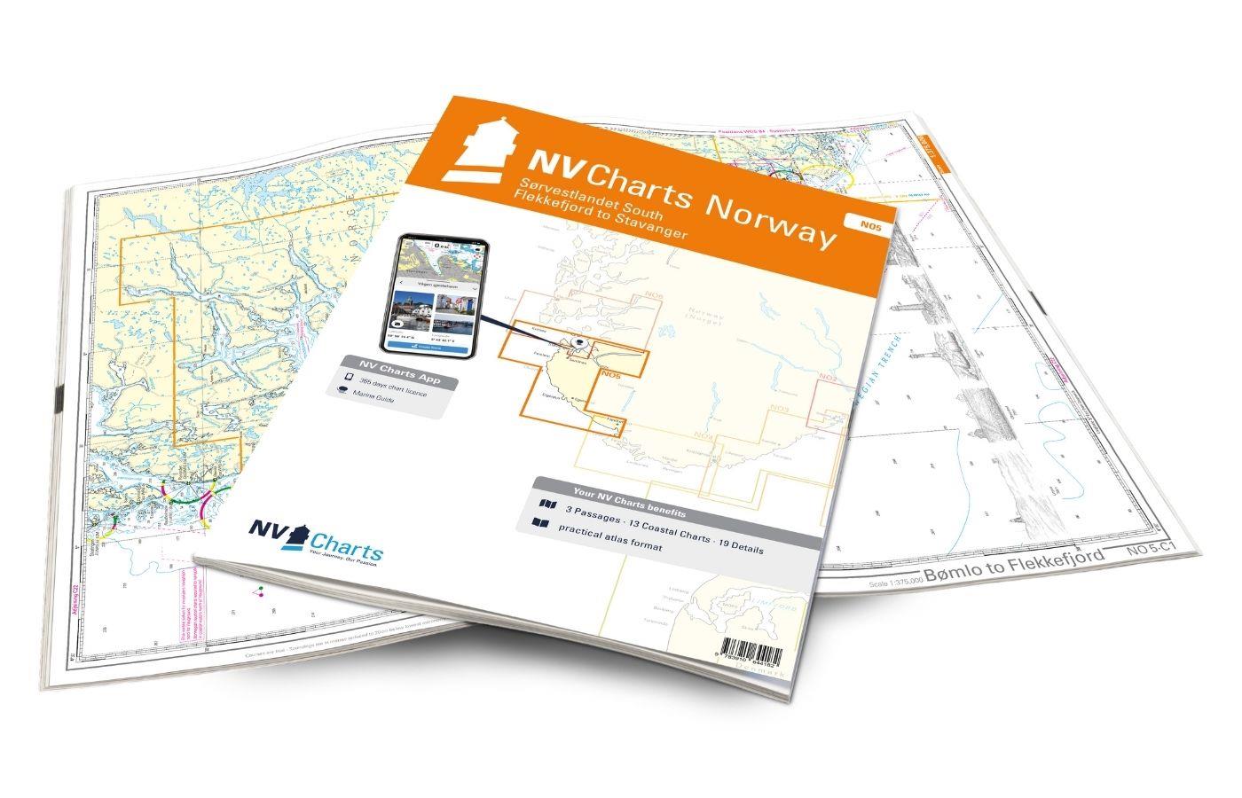
NV Charts Norway NO5 - Sørvestlandet Sør - Flekkefjord til Stavanger
Your companion for the southwest coast of Norway: The NV Charts Norway NO5 . NV Charts for the Norwegian coast are based on data from the Norwegian Hydrographic Office and also include the h

€74.99*
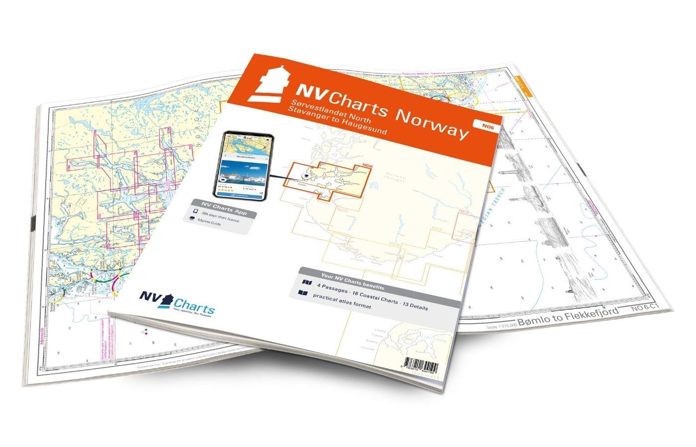
NV Charts Norway NO6 - Sørvestlandet Nord - Stavanger til Haugesund
Would you like to travel to the fairytale fjords on the south-west coast of Norway? The NV Charts Norway NO6 Atlas is your reliable partner. NV Charts for the Norwegian coast are based

€74.99*
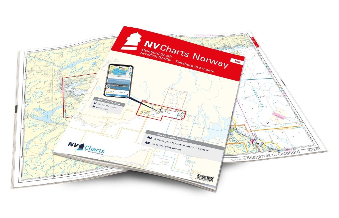
NV Charts Norway NO2 - Oslofjord Sør, Svenska Grensen til Kragerø
The NV Charts Atlas NO2 covers the southern Oslofjord. NV Charts for the Norwegian coast are based on data from the Norwegian Hydrographic Office and also include the harbour plans of the "Norske Los"

€74.99*

Products near this article

Products near this article

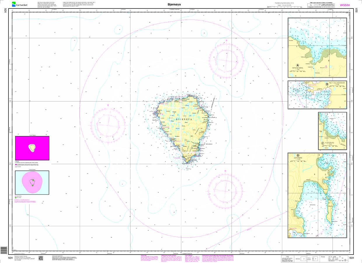
N 501 POD
Bjørnøya. - POD cards are excluded from exchange.

€27.70*
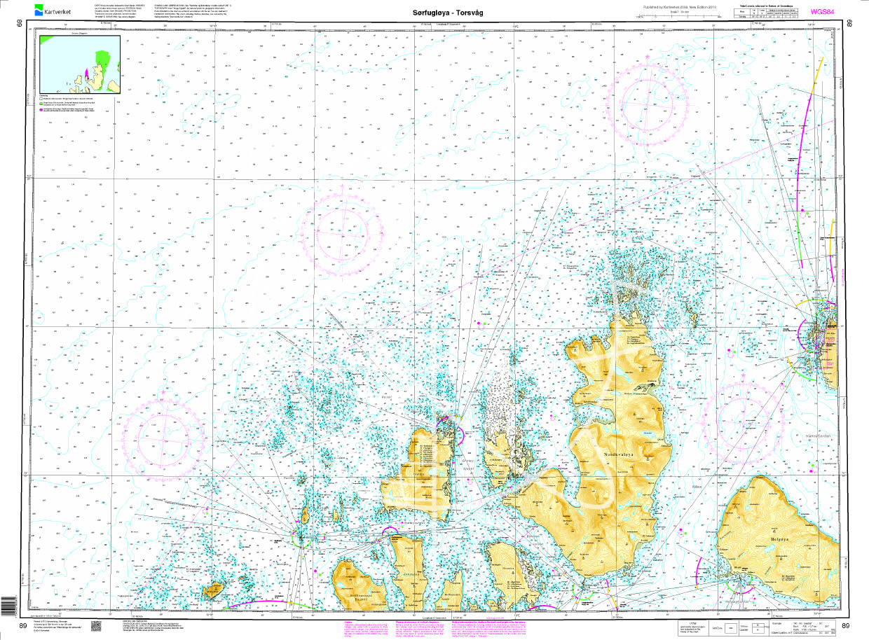
Norwegen N 89 Atlantik Sørfugløya - Kvaløya - Torsvaag
Map N 89 shows the waterways northwest of Tromsø with Sørfugløya - Kvaløya - Torsvaag.The detailed scale is 1:50000. As an additional map we recommend N 92 (Karlsøy - Flatværet - Gåsan). We print the

€27.70*
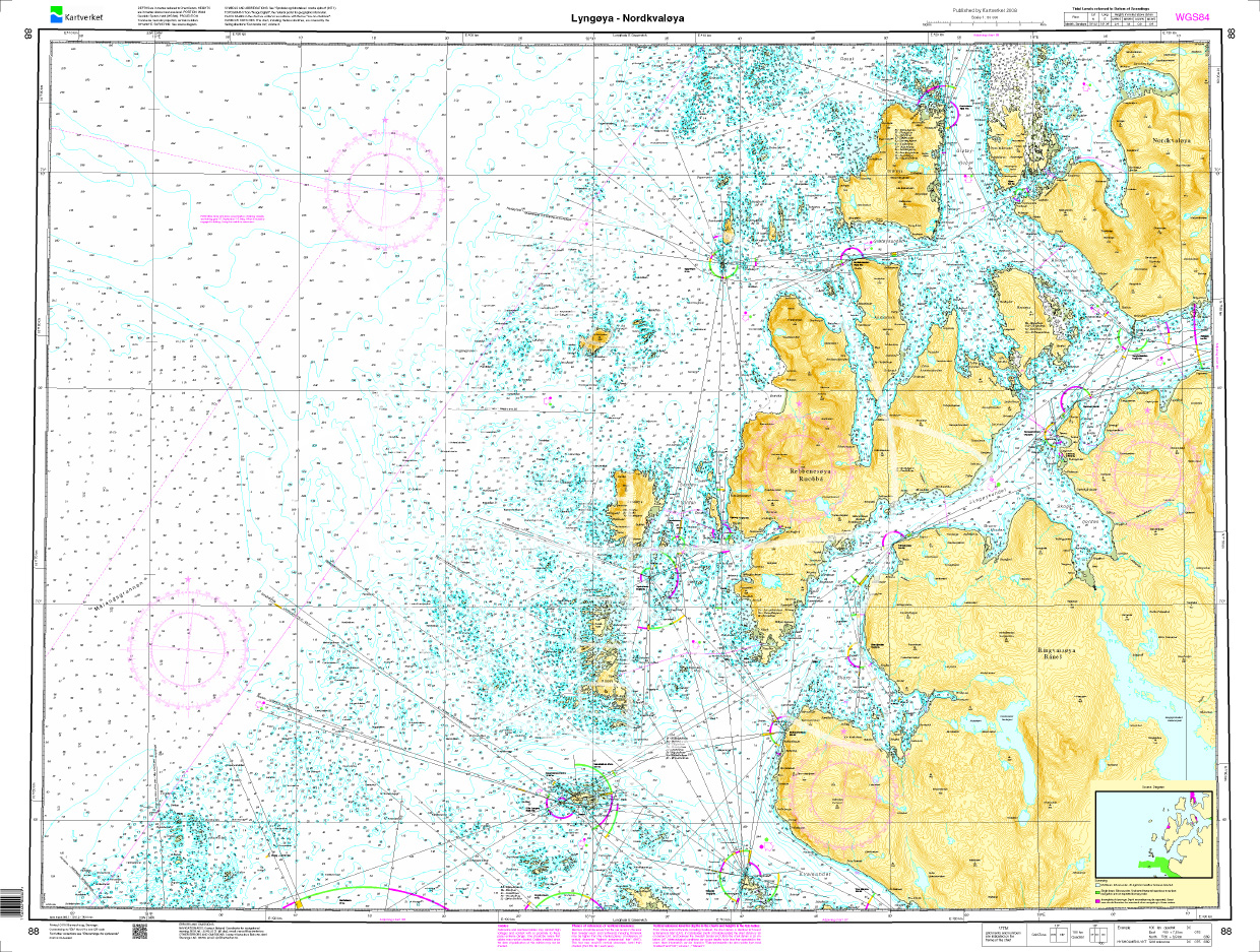
Norwegen N 88 Atlantik Lyngøya - Nordkvaløya
Map N 88 shows the west coast around Tromsø with the offshore islands Lyngøya - Nordkvaløya.The detailed scale is 1:50000. As an additional map we recommend N 89 (Sørfugløya - Kvaløya - Torsvaag).

€27.70*
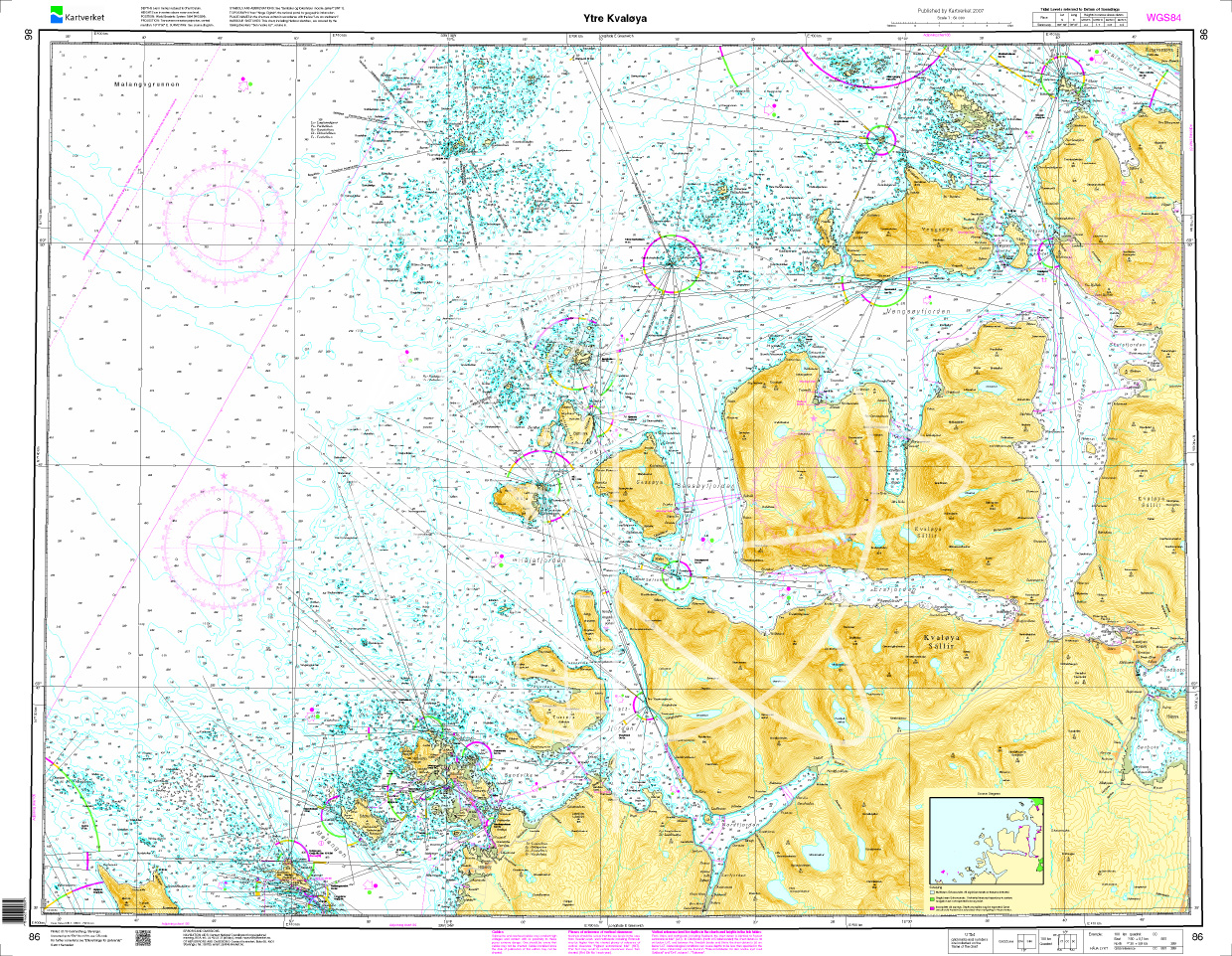
Norwegen N 86 Atlantik Ytre Kvaløya
The Map N 86 shows the outer waterways around the island of Kvaløya west of Tromsø.The detailed scale is 1:50000. As an additional map we recommend N 87 (Rystraumen - Tromsø - Grøt

€27.70*
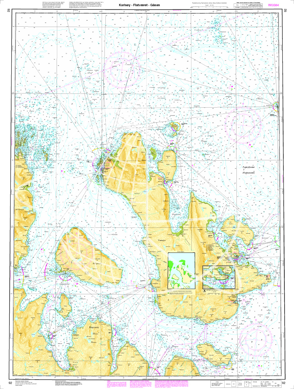
Norwegen N 92 Atlantik Karlsøy - Flatværet - Gåsan
The Sea Chart N 92 covers the fairways of Karlsøy municipality south of Lopphavet in Troms and Finnmark in the area of Karlsøy - Flatværet - Gåsan. Additional harbour map for Kristoffervalen at a

€27.70*
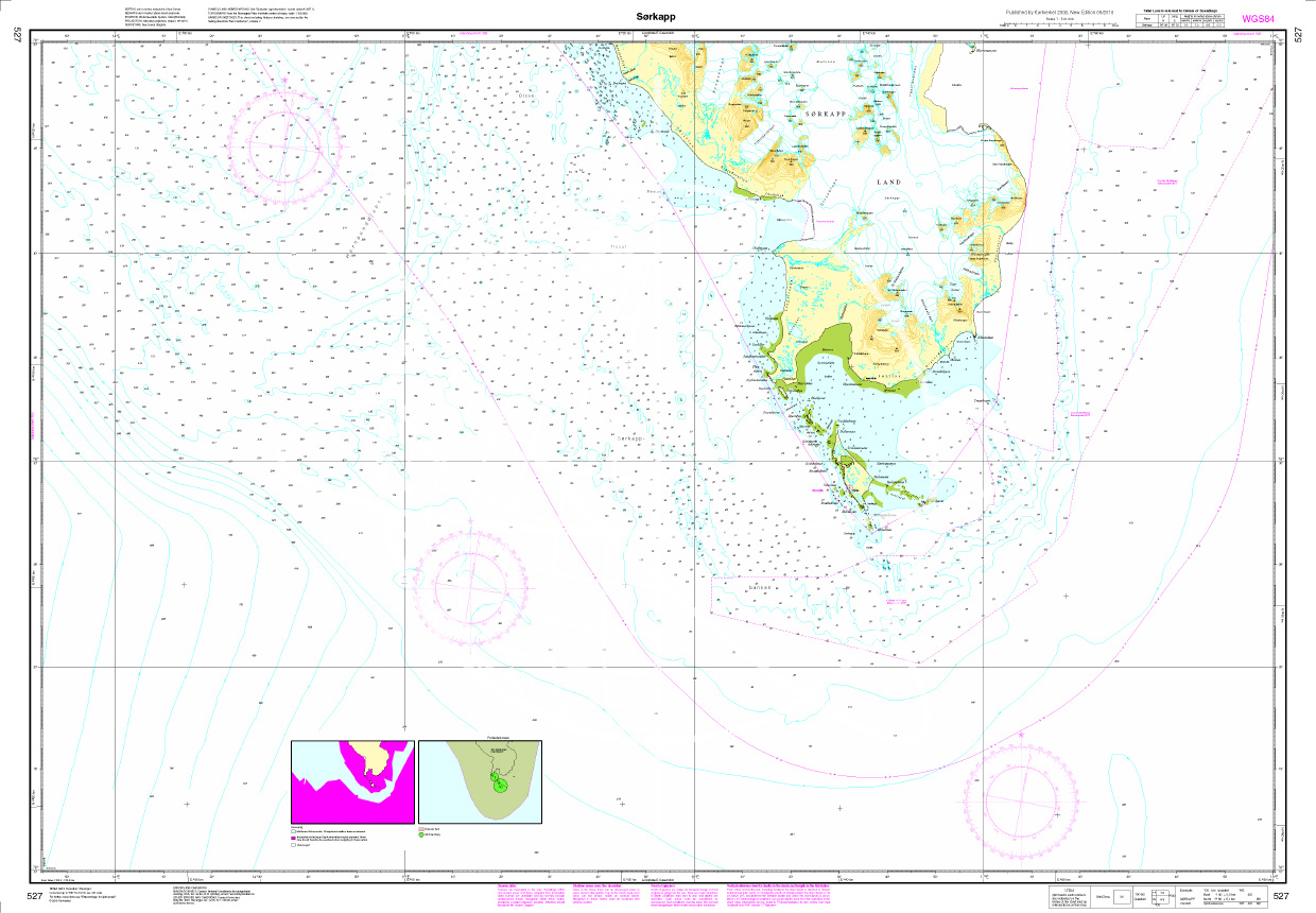
N 527 Spitzbergen mit Sørkapp
Map N 527 covers the southern part of Norways northernmost archipelago Spitsbergen with Sørkapp. The detailed scale is 1:100000.As an additional chart we recommend N 526  (Hornsund) with the north

€27.70*
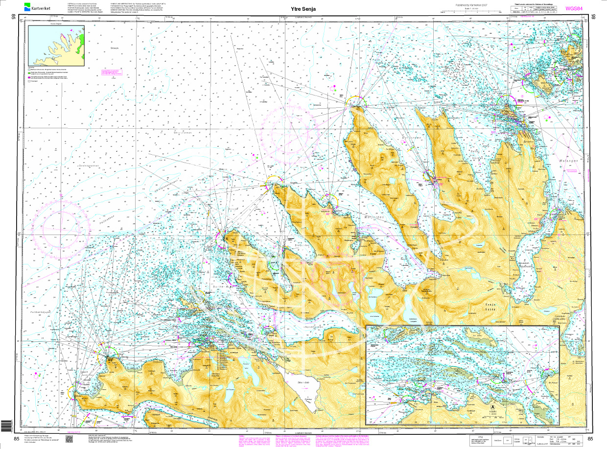
Norwegen N 85 Atlantik Ytre Senja
The Map N 85 shows the outer waterways around the island of Senja southwest of Tromsø.The detailed scale is 1:50000. As an additional map we recommend N 86 (Ytre Kvaløya).We print

€27.70*
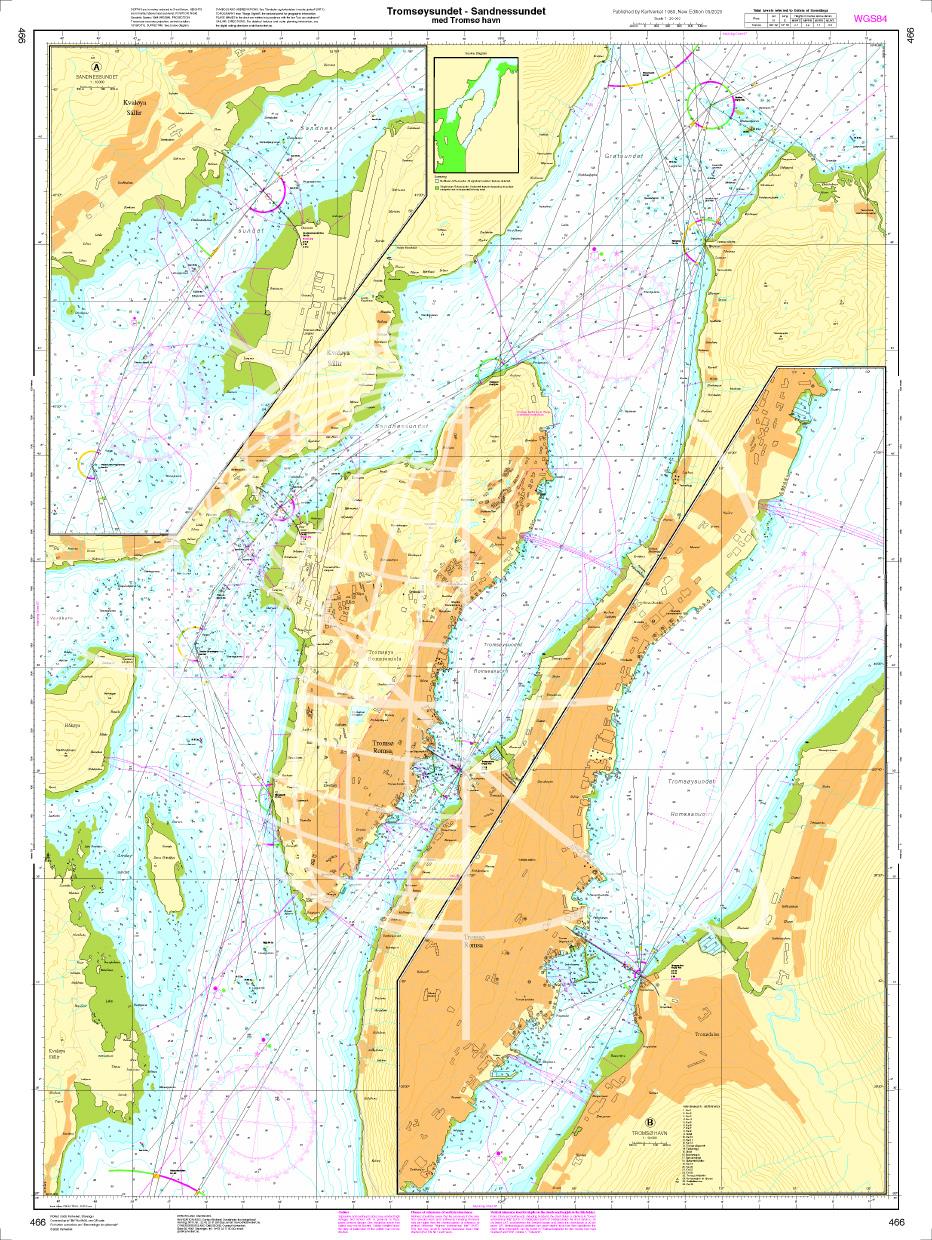
N 466 POD
Tromsøysundet - Sandnessundet med Tromsø havn. - POD cards are excluded from exchange.

€27.70*
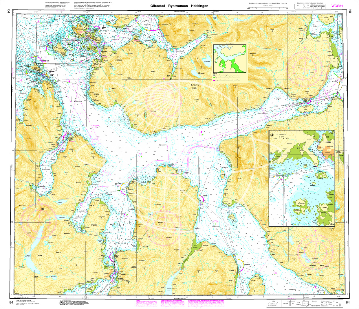
Norwegen N 84 Atlantik Gibostad - Rystraumen - Hekkingen
The map N 84 shows the waterways southwest of Tromsø around the island of Senja with Gibostad - Rystraumen - Hekkingen. The detailed scale is 1:50.000. As an additional map we recommen

€27.70*
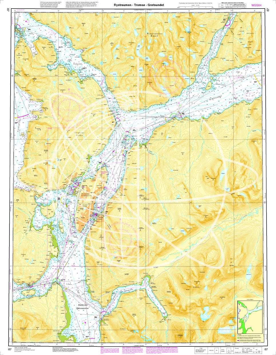
Norwegen N 87 Atlantik Rystraumen - Tromsø - Grøtsundet
Map N 87 shows the waterways around Tromsø with Rystraumen - Tromsø - Grøtsundet.The detailed scale is 1:50000. As an additional map we recommend N 86 (Ytre Kvaløya). We print the maps on customer req

€27.70*
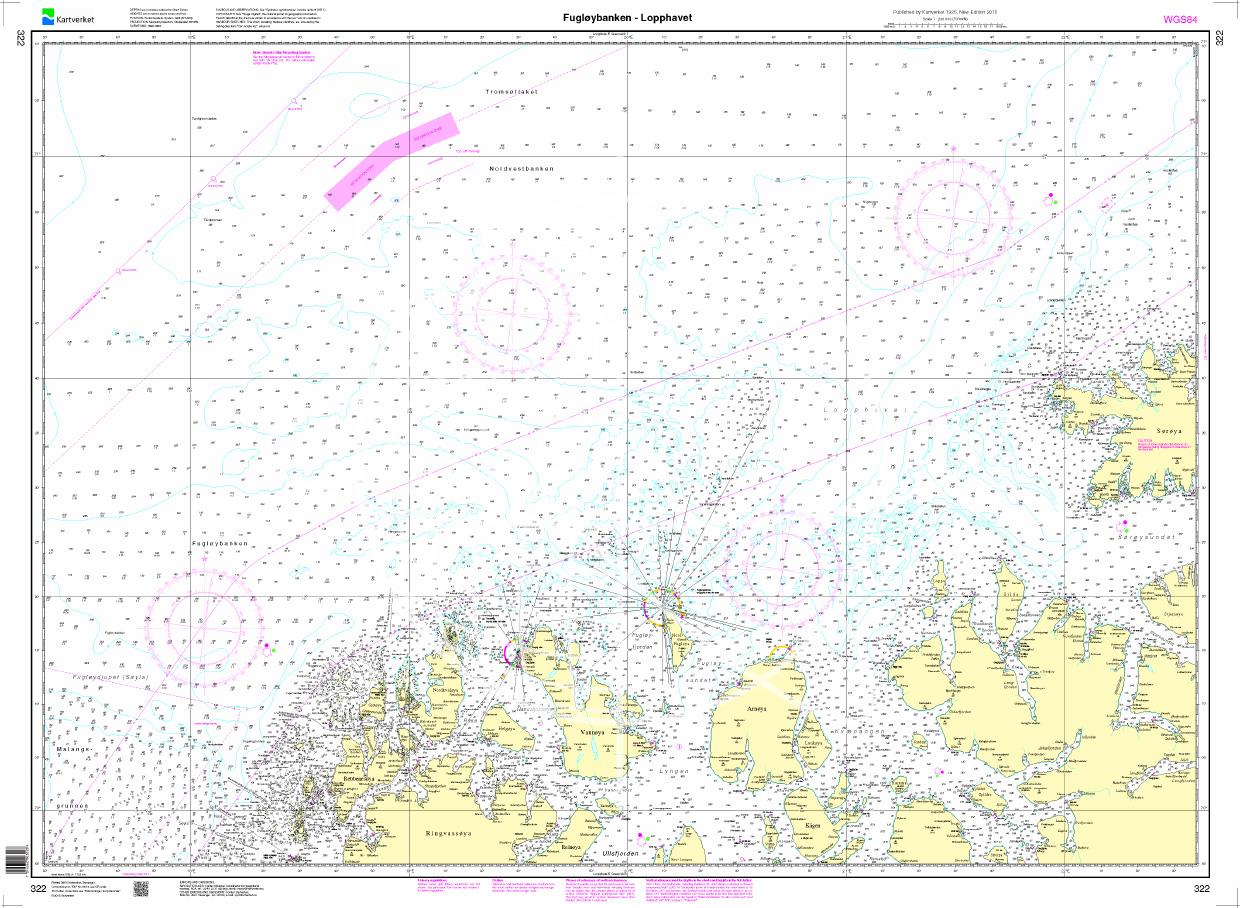
N 322 POD
Fugløybanken - Lopphavet. - POD cards are excluded from exchange.

€27.70*

Reviews

0 of 0 reviews

Leave a review!

Share your experiences with other customers.