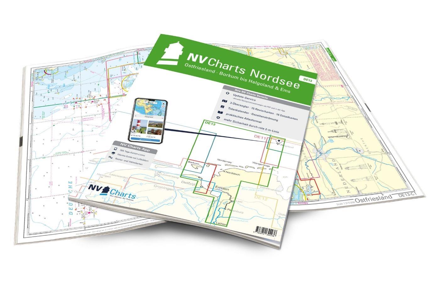
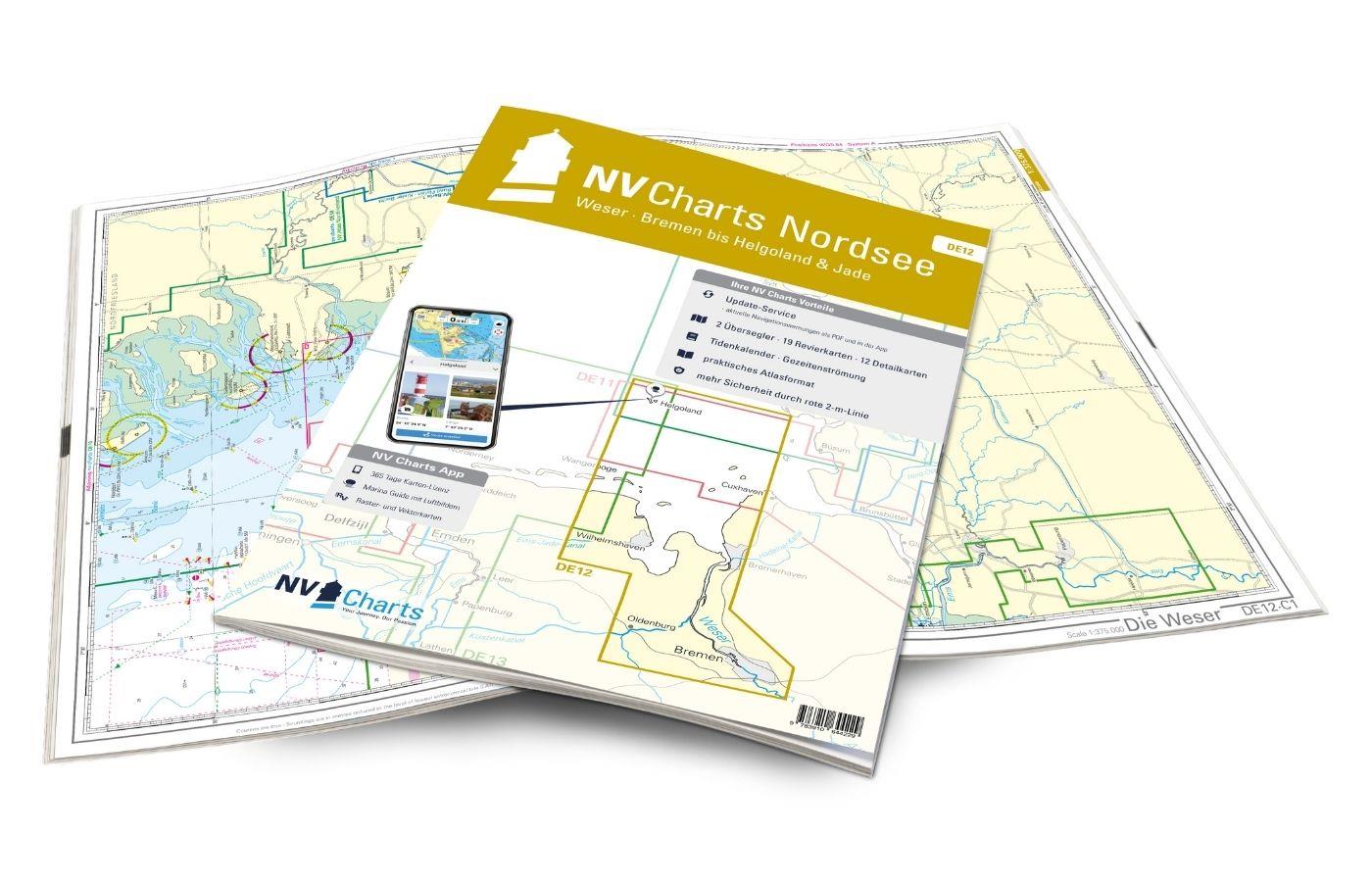
BlueChart g3 HXEU019R Nordsee Waddenzee, Deutsche Bucht, Skagen (Alborg - Amsterdam) g3 XEU019R
Description
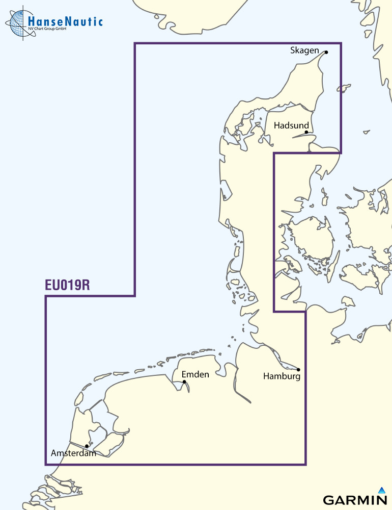
Electronic nautical chart for Garmin plotters with North Sea coverage from Dutch Waddenzee over the IJsselmeer the German North Sea coast to Northern Denmark (Skagen) with and the inland waters in Friesland and Northwest Lower Saxony.
The Garmin BlueChart g3 in size class "R" has a very good price-performance ratio for sailors and motorboats travelling through the North Sea.
Coverage
The Garmin Nautical Chart XEU019R covers the North Sea coast from Amsterdam in the Netherlands to Alborg in Denmark as well as the German Bight. This makes the BlueChart g3 North Sea the right equipment for North Sea voyages in this area with yachts navigating with chartplotters from Garmin. Also for small boats that are trailed into this region and where the exact location is not yet determined the "R" charts are the right equipment for electronic navigation.
Features of the Garmin BlueChart g3
- Digital nautical chart with vector cartography - allows step-free zooming between planning display (oversailer) coastal charts and detailed charts or harbour plans.
- Detailed depth contours and bathymetric data
- Optional depth range shading settings
- Possibility to individually mark shallow water areas with shading
The BlueChart g3 are complete navigation charts for electronic navigation on recreational boats during cruising and holiday cruising.
Media
This Garmin chartplotter North Sea (Amsterdam to Alborg) is supplied on an mSD media which is included in an SD card adapter.
Compatibility
The Garmin BlueChart g3 are electronic vector charts compatible with all current Garmin chartplotters and chart-enabled echo sounders. Many older devices can also use the Garmin g3.
Please check with the Garmin Compatibility List if your chart plotter is compatible.
nvtext_bluechart
| Format: | mSD-Karte |
|---|---|
| Size: | Regular |
Related products to this item
Reviews
Login

