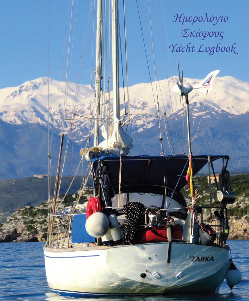
Yacht Logbook

Chart ID: YL

€8.50*


Product number: 32575

Description

The logbook is a useful tool for taking notes on the journey. It has a simple layout, with a double page that is always repeated. The left-hand page has sections for the Captain & Crew, Supplies & Equipment and Events at Sea. The right-hand page focuses on the voyage itself, including the port of departure and arrival, general travel conditions, miles, wind, course, barometer reading, etc. The logbook has the great advantage that it leaves a lot of space for entries - so it is particularly suitable for travellers who like to make detailed notes (or simply have a large font).


The language in the book is in English and Greek. It measures 21 x 29cm (A4) and weighs about 250g.

Format: Softcover / Taschenbuch
Language: Englisch

Related products to this item

Related products to this item

-4 %
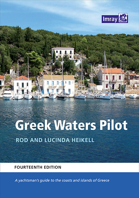
Greek Waters Pilot
The Greek Waters Pilot by Lucinda and Rod Heikell covers the entire coastline and islands of Greece.Published for nearly 30 years, the guide covers the entire area from the Ionian Islands to the Saron

€59.40* €62.50* (4.96% saved)
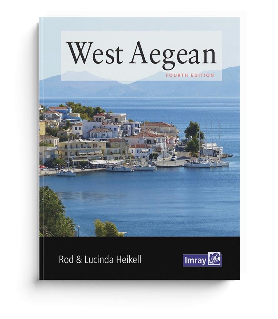
West Aegean (Saronic)
West Aegean - The Attic Coast, Eastern Peloponnese, the Western Cyclades and the Northern SporadesA guidebook for flotilla sailors and charterers with sailing instructions and detailed background info

€28.20*
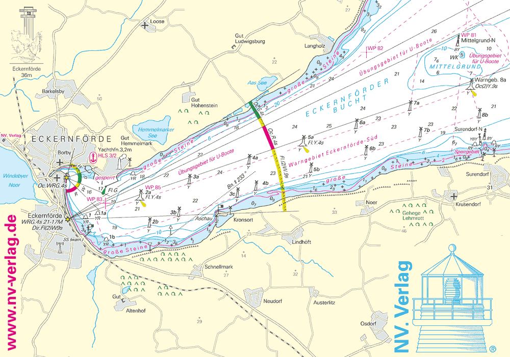
NV Brillentuch
Water drops on glasses or smartphones are a thing of the past with this cleaning cloth. With an appealing map of the NV Verlag motif "Eckernförder Bucht" you are super equipped with this cloth which c

€2.50*
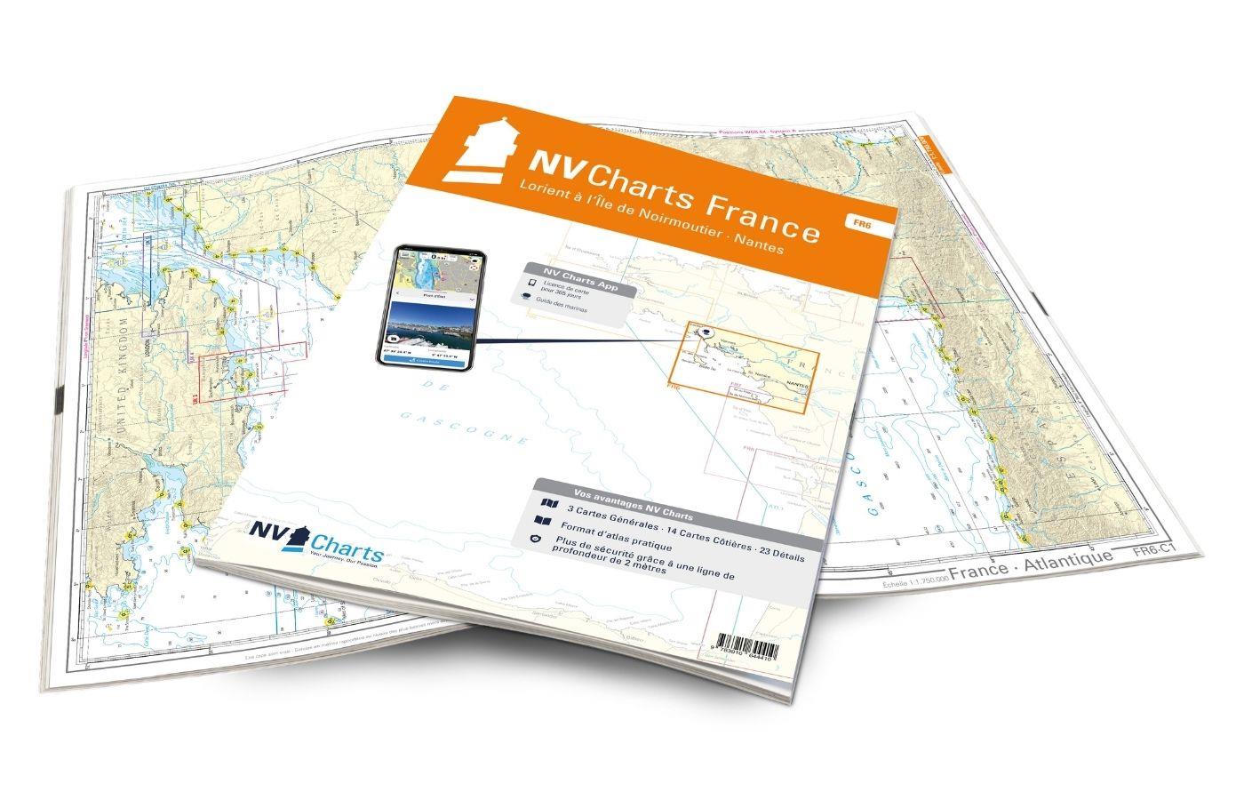
NV Charts France FR6 - Lorient à Île de Noirmoutier - Nantes
With the NV Charts France FR6 off to the Cité de la Voile, the city of sailing! Thanks to the clear layout, the sports skipper can quickly find approaches, harbours and anchorages and is informed of n

€64.99*
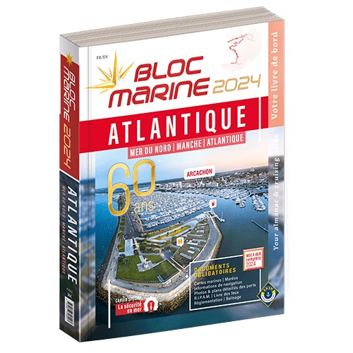
Bloc Marine : Atlantique
The Bloc Marine : AtlantiqueFor accurate information on port areas safety at sea and legal requirements in recreational boating the Bloc Marine Atlantique is a first-class travel companion. It include

€36.00*
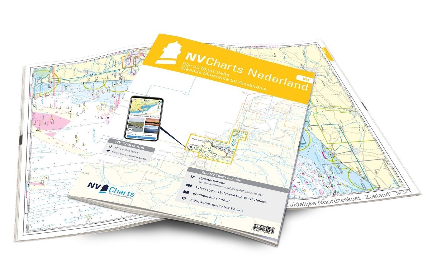
NV Charts Nederland NL4 - Rijn & Maas Delta
For the water sports area around Rotterdam, the southern part of the famous "Staande Mastroute" and the Maas Delta, the NV Charts NL4 Atlas Rijn and Meuse Delta is the perfect companion. The chart ser

Variants from €51.99*
€64.99*
New
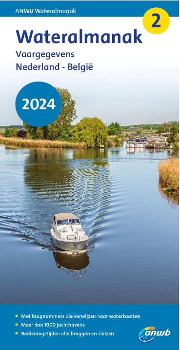
ANWB Wateralmanak 2 (Brückenzeiten)
Wateralmanak 2 Sound signals of the Inland Police (BPR) and the Rhine Police (RPR)This almanac includes the opening hours of all bridges and locks in the Netherlands and Belgium. The&nb

€24.99*

Reviews

0 of 0 reviews

Leave a review!

Share your experiences with other customers.