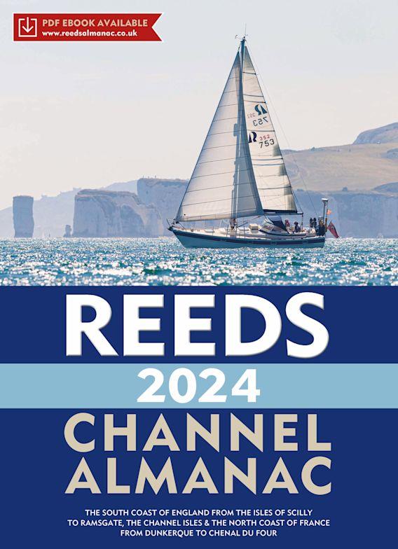
Reeds Channel Almanac 2024

€49.99*


Product number: 35620

Description

Detailed guide to the Channel coast


A great help for water sports enthusiasts in a handy spiral binding. Extracted from the large "Reeds Nautical Almanac" with full details - the coverage is limited to the south coast of England and the north coast of France. The book includes numerous colour map drawings and tables.

Area and coverage
The Reeds Channel Almanac is divided into seven sections. It covers the coastline of southern England from the Isles of Scilly to Cowes to Ramsgate, and then the French coast from Dunkirk to Ushant. The individual sections correspond to the contents of the Reeds Nautical Almanac 2024.

The book includes the Reeds Marina Guide 2024 with a directory of marinas, suppliers and service providers. The Marina Guide covers the UK, Ireland and the Channel Islands.

Contents
Harbour maps
Tide tables & currents
Buoys & Beacons
Landmarks
Route descriptions and passage planning tips
Distance tables
Radio telephony, marine weather and safety information
Free Marina Guide included

Format: Spiralbindung
Language: Englisch
Region: Grossbritannien, Frankreich, Englischer Kanal

Other customers bought also

Other customers bought also

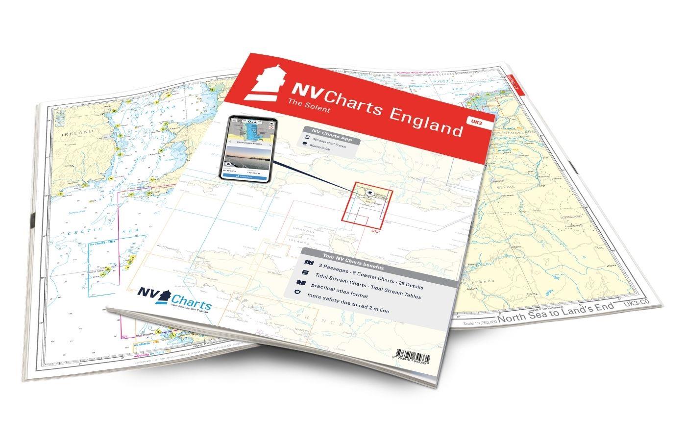
NV Charts England UK3 - The Solent
The NV Charts England UK3 Atlas takes you to the strait between Southampton and the Isle of Wight. Our charts are based on official data from the United Kingdom Hydrographic Office (UKHO) and inc

€64.99*
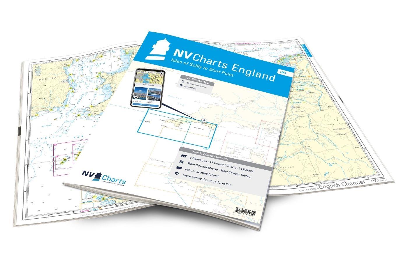
NV Charts Engeland UK1 - Scilly Isles to Start Point
The NV Charts England UK1 will guide you along the fascinating southwest coast of Great Britain . Our charts are based on official data from the United Kingdom Hydrographic Office (UKHO) and include a

€64.99*
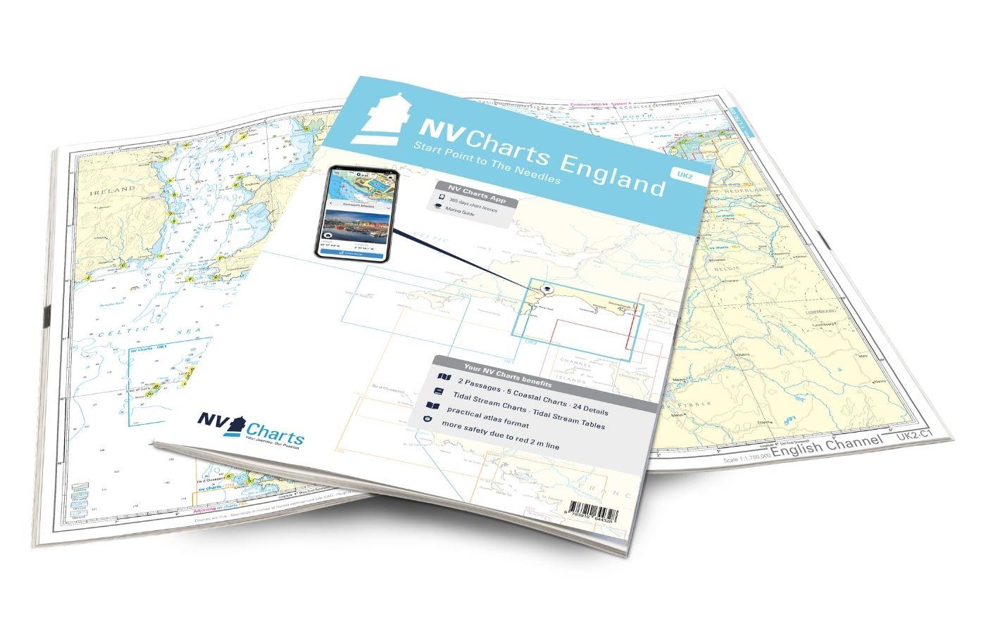
NV Charts England UK2 - Start Point to the Needles
Anyone longing for a natural, relaxing vacation will be delighted with the NV Charts England UK2 is the best advice. Our charts are based on official data from the United Kingdom Hydrographi

€64.99*
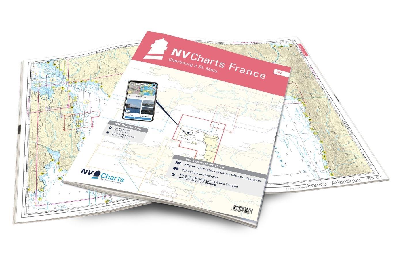
NV Charts France FR2 - Cherbourg à St. Malo
If you are drawn to the marvellous Channel Islands, the NV Charts Atlas FR2 is well advised! Thanks to the clear layout, the recreational skipper can quickly find approaches, harbours and anchorages a

€64.99*
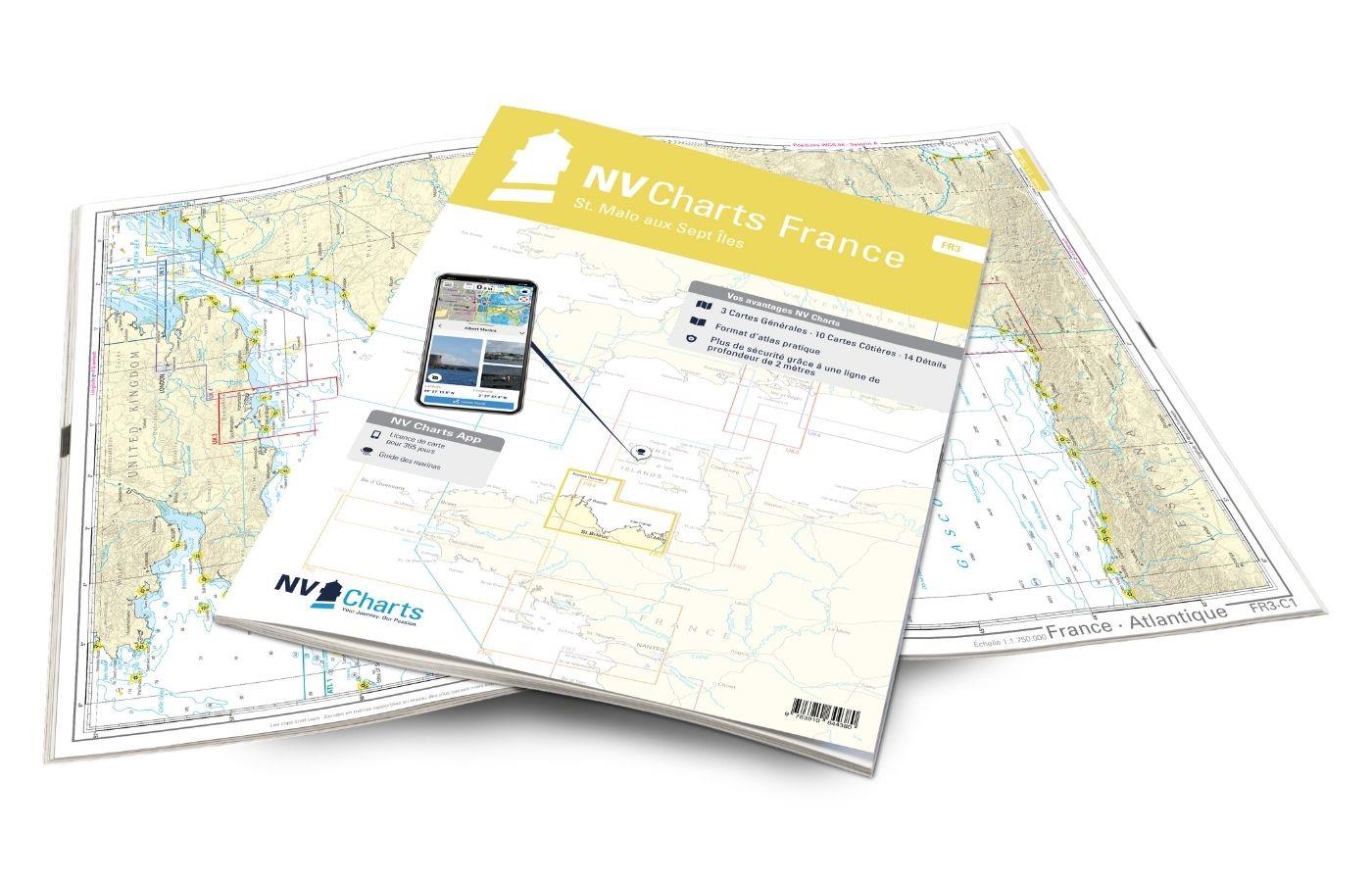
NV Charts France FR3 - St. Malo aux Sept Îles
Would you like to discover the coast of northern Brittany? Then the NV Charts France FR3 Atlas is your partner at sea. Thanks to the clear layout, the recreational skipper can quickly find a

€64.99*
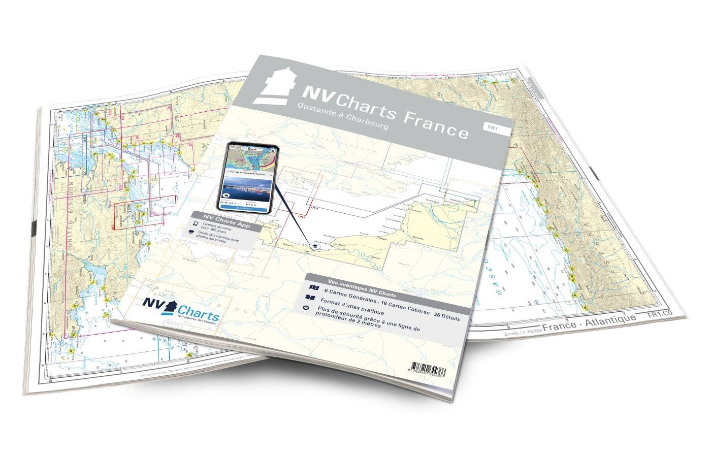
NV Charts France FR1 - Oostende à Cherbourg
For water sports enthusiasts who want to explore the French canal coast, the NV Charts Atlas FR1 which accompanies you along the coast from Dunkirk (Dunkerque) to Cherbourg. Thanks to the clear layout

€64.99*

Reviews

0 of 0 reviews

Leave a review!

Share your experiences with other customers.