NV Charts Bodensee (Lake Constance)

App charts included
Edition: 2022
Edition Date: 14.03.2022
Scale: 1:40.000

€34.99*


Product number: 8901

Description

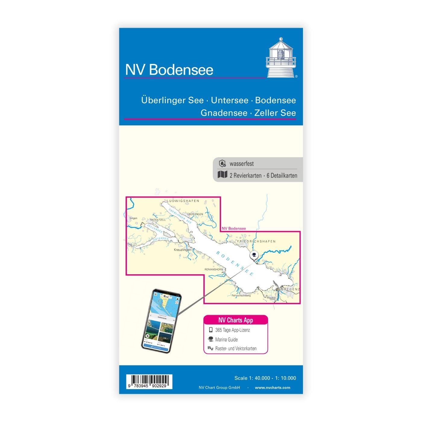
Folding chart on paper and digital licence for NV Charts App of Lake Constance (Bodensee) with German, Austrian and Swiss shores

New publication: NV Charts Lake Constance

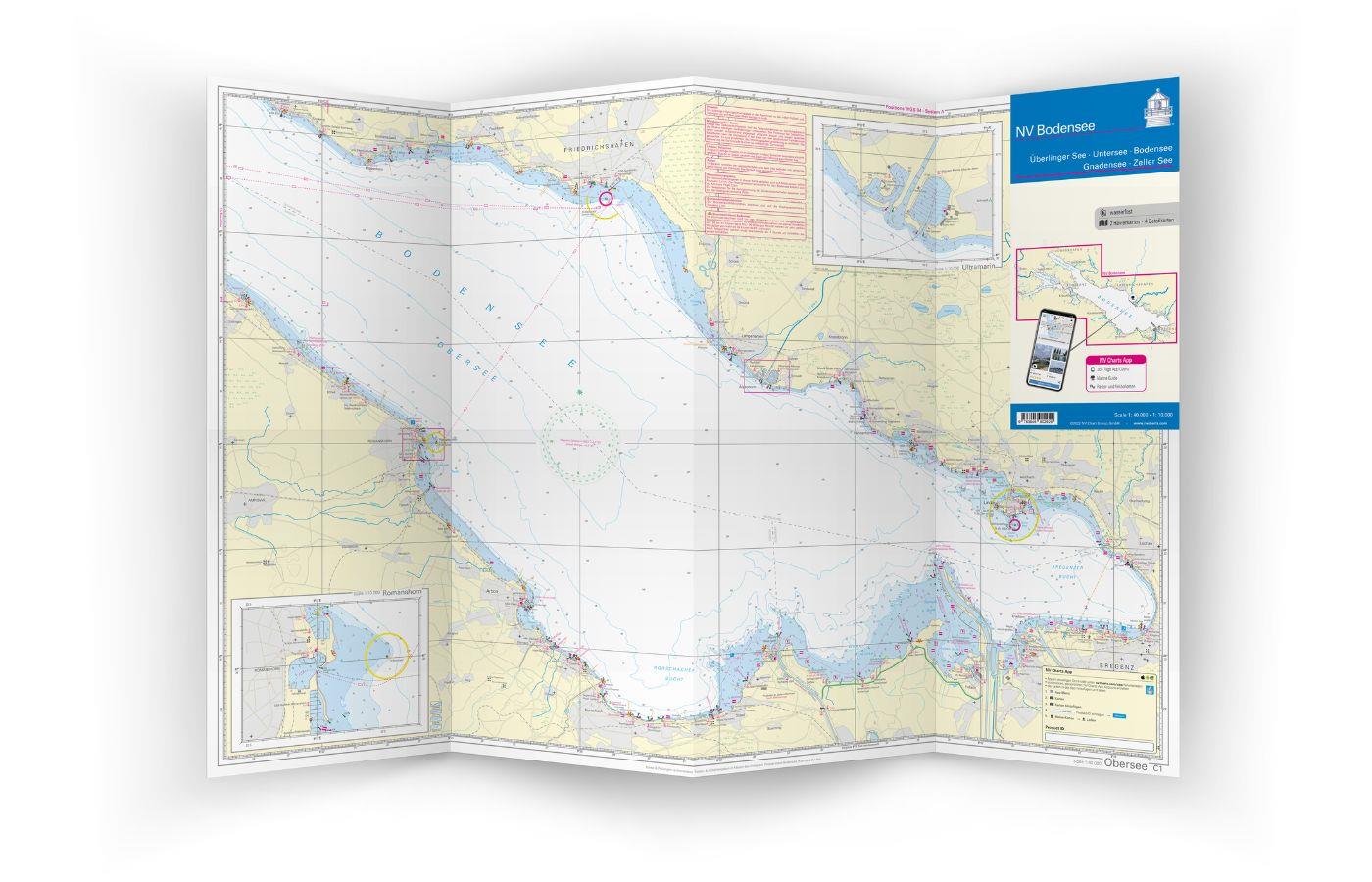
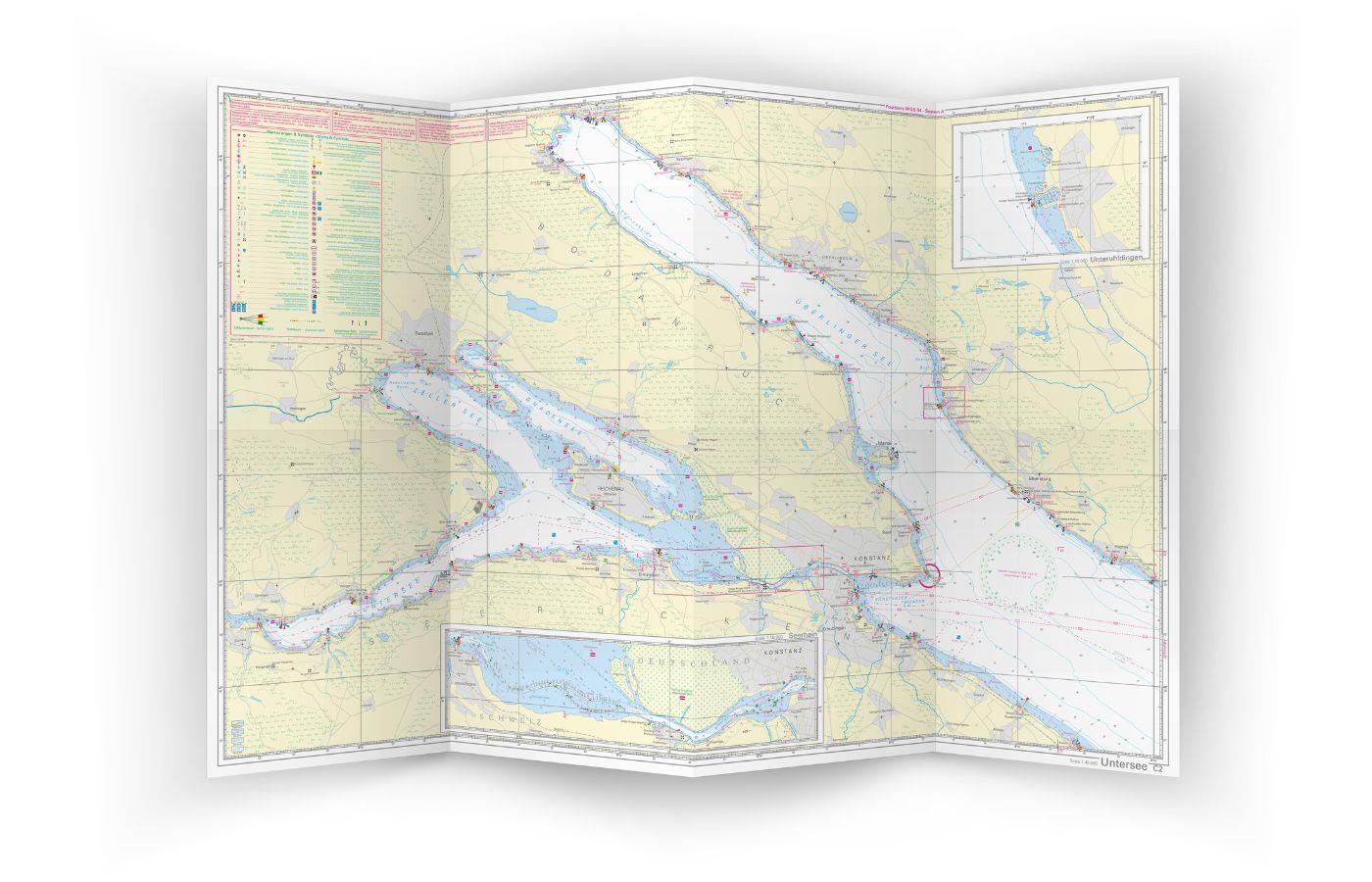
The entire Lake Constance/Bodensee area with Überlinger See, Untersee, Gnadensee and Zeller See in a folded chart printed on both sides at a scale of 1:40,000 combined with a 365-day activation of the digital nautical charts for the NV Charts App. Germany's largest inland lake with shores in Switzerland, Austria and Germany is shown in two large navigational charts and six detailed charts so that motorboats and sailing yachts can navigate safely.

The NV Chart Bodensee is printed on waterproof paper and measures 90 x 61 cm (folded 16 x 31 cm). This is ideal for a good overview of the water area of Lake Constance to plan a trip and is easy to stow on board, as it takes up little space in the navigator's corner or sailing bag. Together with the Lake Constance chart, an activation code for the NV Charts App is supplied, which is printed behind a scratch-off field on the edge of the chart. With the NV Charts App you can use the digital nautical chart of Lake Constance, display your current position via GPS and even connect your AIS device via W-LAN so that you are always aware of the traffic situation.

About Lake Constance:

Germany's largest lake is attracting more and more water sports enthusiasts. Situated to the north of Switzerland and to the west of Austria, Lake Constance, which is called Bodensee in German language, delights with its many historic towns and cities of character. Along the shoreline, you can call at many marinas or enjoy the unique landscape at one of the numerous anchorages. Regatta events are held regularly on the lake, and in late summer cosy wine festivals invite you to round off your trip.


App License: NV Charts App
Format: Plano & Einzelkarten
Region: Deutschland, Inland

Related products to this item

Related products to this item

NV Charts Croatia HR 1: Trieste to Vodice
Want to discover the northern Adriatic? Our chart set NV Charts HR1 guides you from Istria to North Dalmatia. With its clear structure, the recreational boater quickly finds access points, harbors, an

€64.99*
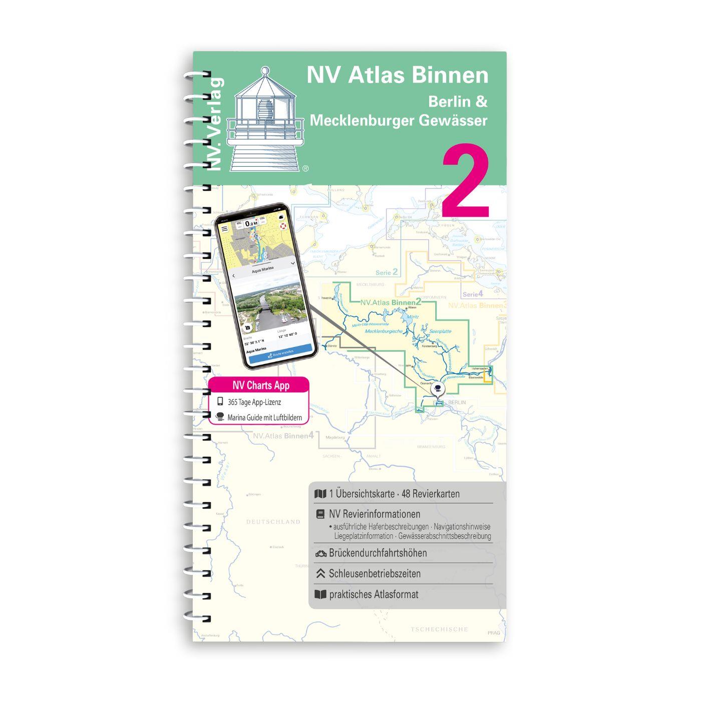
NV Binnen 2 Kombipack Berlin & Mecklenburgische Gewässer
If you are drawn to the largest networked water sports area in Europe you should have the inland volume 2 of NV Charts in your luggage. 1117 natural lakes provide a variety that is second to none. Fro

€44.99*
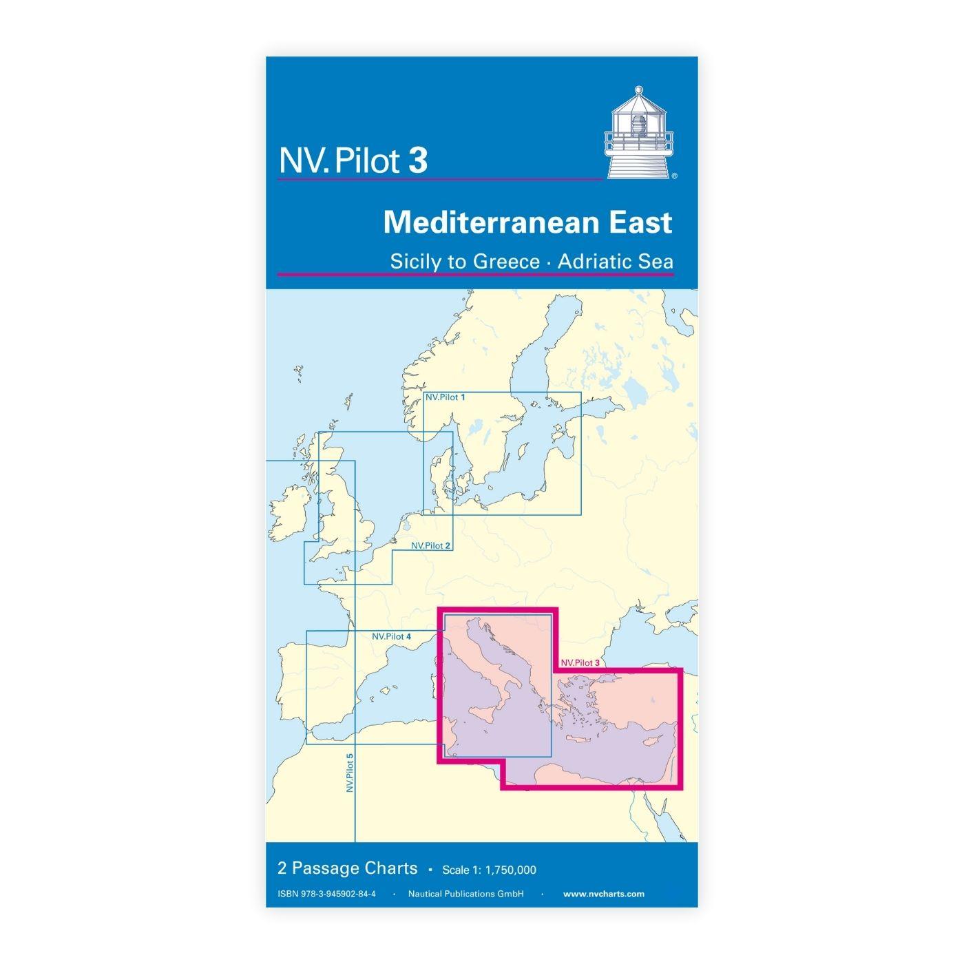
NV Charts Pilot 3 Mediterranean East, Sicily to Greece Adriatic Sea
The Pilot 3 is suitable as a planning chart for cruises in the eastern part of the Mediterranean. The coasts of Croatia and Greece are completely covered. In addition, the east coast of Italy is compl

€24.99*
New
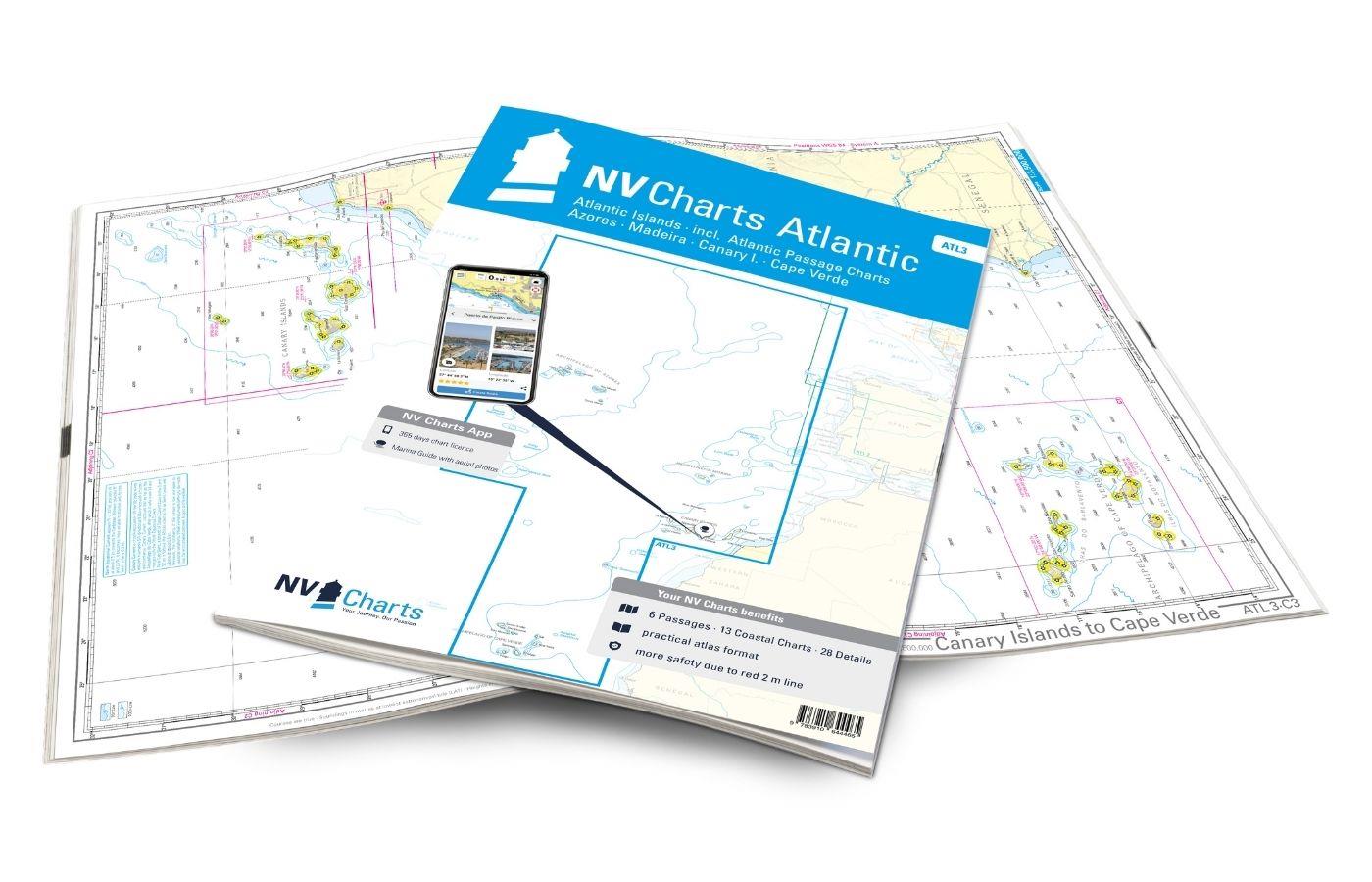
NV Charts Atlantic ATL3 - Atlantic Islands Azores - Madeira, Canary Islands, Cape Verde
If you want to embark on the great adventure of crossing the Atlantic, the NV Charts Atlantic ATL3 is ideally equipped. Thanks to the clear layout, the recreational skipper can quickly find approaches

€74.99*
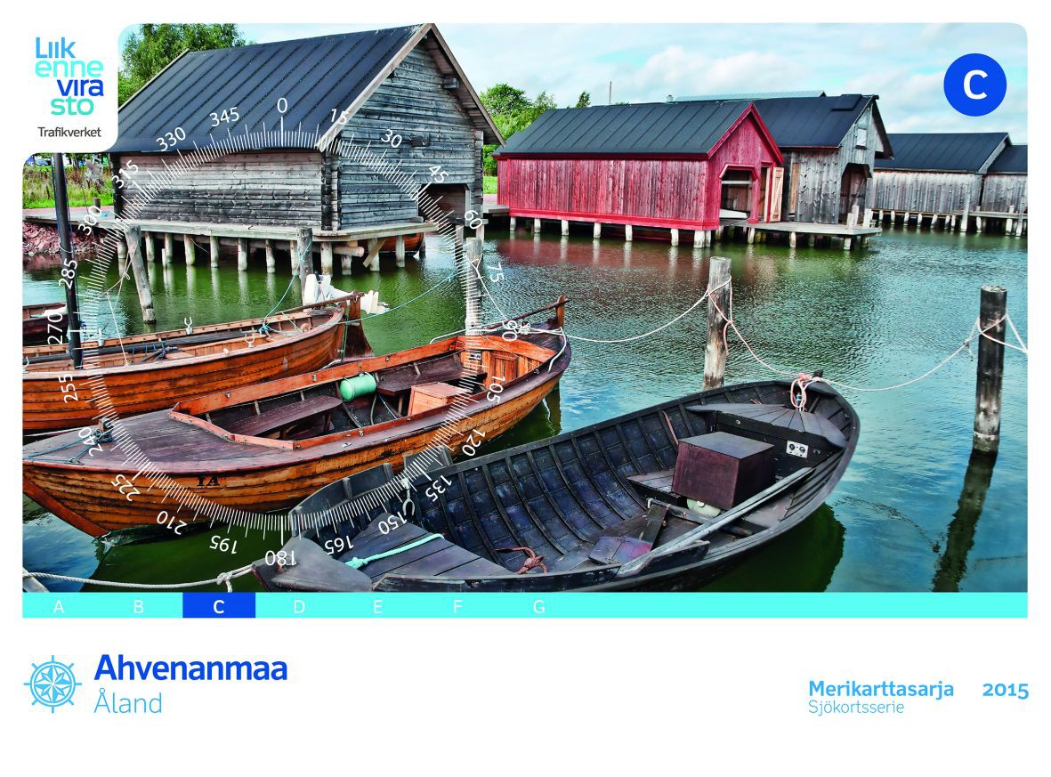
FINN. BOOTSPORTKARTEN C
The Finnish boating chart set C "Åland" covers the Åland Islands with the island capital Mariehamn. The eastern boundary of this recreational boating chart set is the line Uto - Kökar - Brändö - E

€58.00*
New
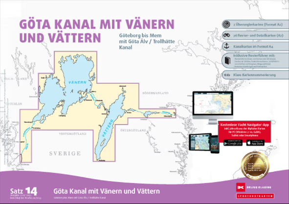
Delius Klasing Sportbootkarten Satz 14: Götakanal mit Vänern und Vättern
Delius Klasing Sport Boat Charts Set 14 Göta Canal with Vänern and VätternThe Delius Klasing Sport Boat Charts Set 14 contains 3 overseeing charts as well as 23 district and detail charts for navigati

€99.90*
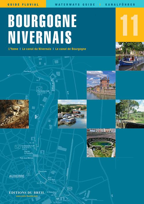
EDB 11 Bourgogne/Nivernais
Burgundy Canal Yonne and Canal du Nivernais.This inland guide describes the entire navigable section of the Yonne River.Although the Yonne carries more water than the Seine at the level of Montereau o

€22.00*

Reviews

0 of 0 reviews

Leave a review!

Share your experiences with other customers.