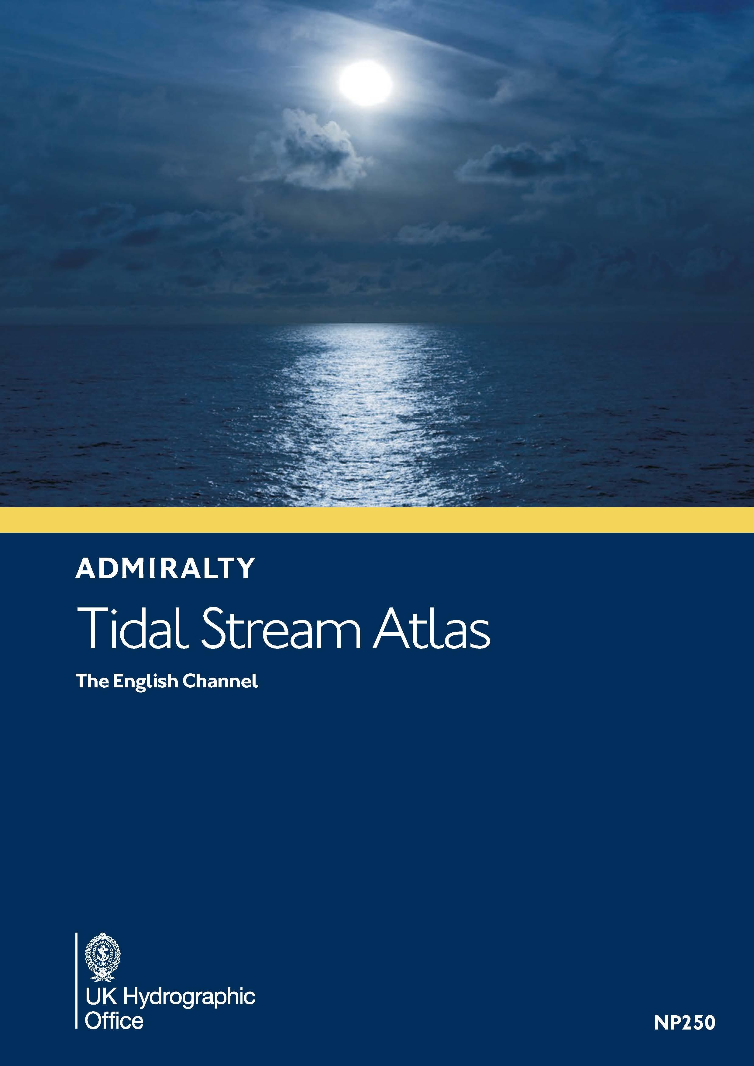
Gezeitenstromatlas NP250 The English Channel

Chart ID: NP250

€33.90*


Product number: 30404

Description

BA NP250 Tidal Stream Atlas: The English Channel

Tidal streams diagrams include detailed tidal stream direction and strength information. They show at a glance the direction and rate of tidal streams display neap and spring tidal rates in tenths of a knot and help you to calculate the tidal stream rate on any particular day.

Format: Softcover / Taschenbuch
Language: Englisch
Area preview

With the help of our area preview, you can get an impression of which geographical region the product deals with or which areas a nautical chart covers.

Related products to this item

Related products to this item

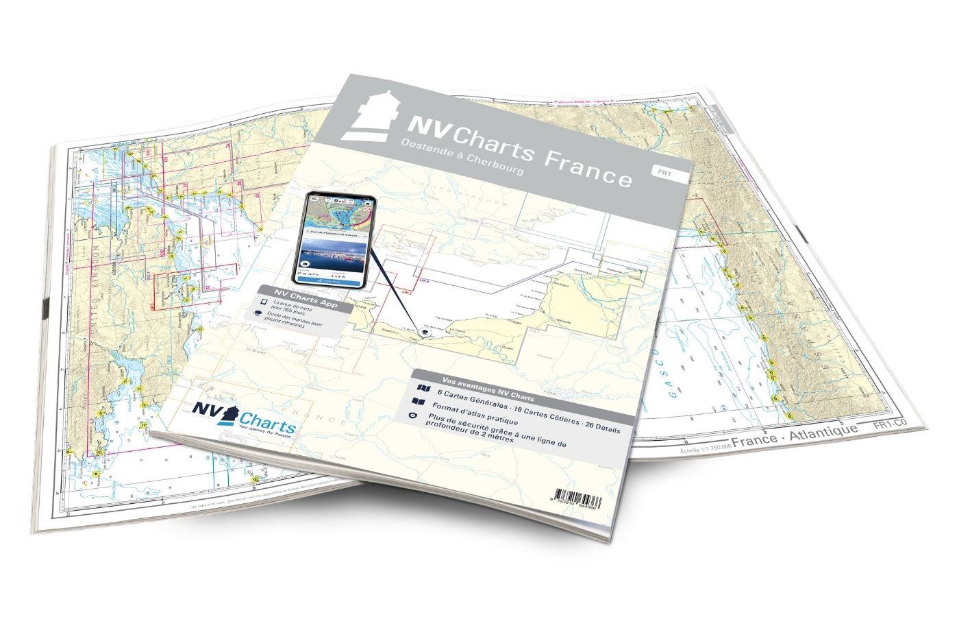
NV Charts France FR1 - Oostende à Cherbourg
For water sports enthusiasts who want to explore the French canal coast, the NV Charts Atlas FR1 which accompanies you along the coast from Dunkirk (Dunkerque) to Cherbourg. Thanks to the clear layout

€64.99*
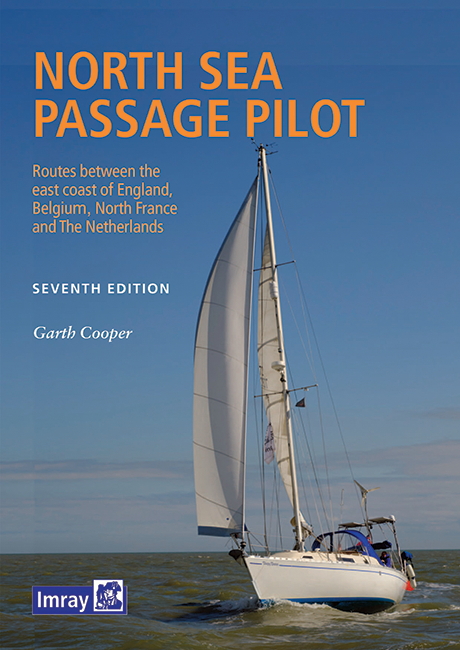
North Sea Passage Pilot
Southern North Sea passage guide with passage routes for traversing this challenging tidal area between the English east coast and the west coasts of the Netherlands and Belgium.The North Sea Passage

€43.00*
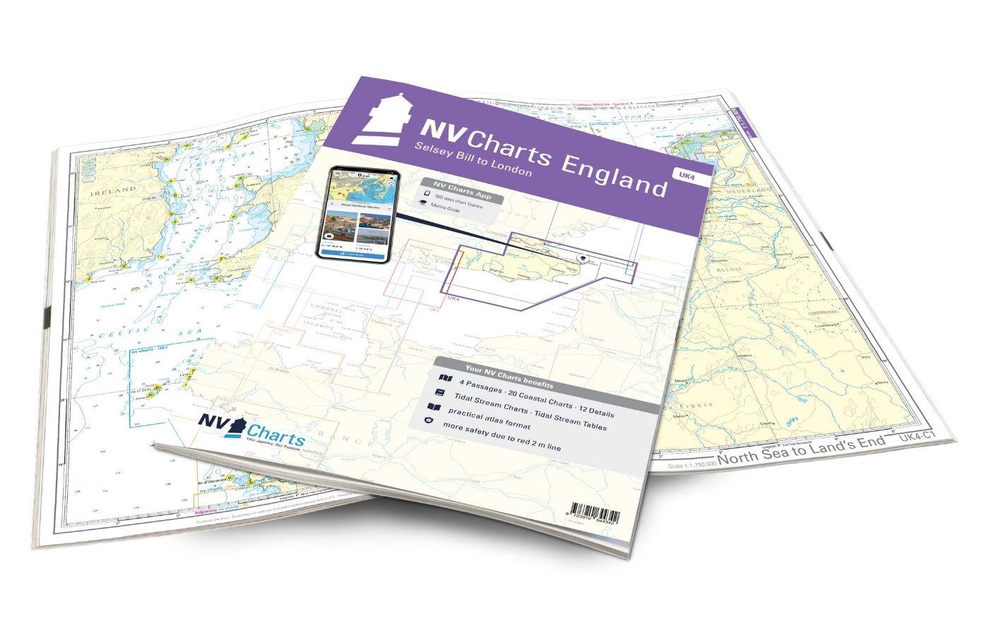
NV Charts England UK4 - Selsey Bill to London
The NV Charts England UK4 takes you past the historic North Foreland into the centre of London - or further west along the coast and towns such as Eastbourne and Brighton. Our charts are bas

€64.99*
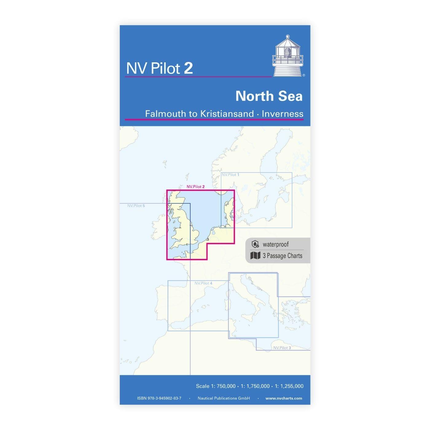
NV Charts Pilot 2, North Sea - Falmouth to Kristiansand - Inverness
NV Charts Pilot 2, North Sea - Falmouth to Kristiansand - InvernessThe Pilot 2 from NV Charts is the planning chart that is needed for the North Sea. The west coast of Denmark, the German North Sea an

€24.99*
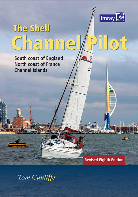
Shell Channel Pilot
English Channel Cruising GuideThe "Shell Channel Pilot" cruising guide is suitable for all water sports enthusiasts who wish to explore the English Channel on both the French and English sides. It cov

€50.50*
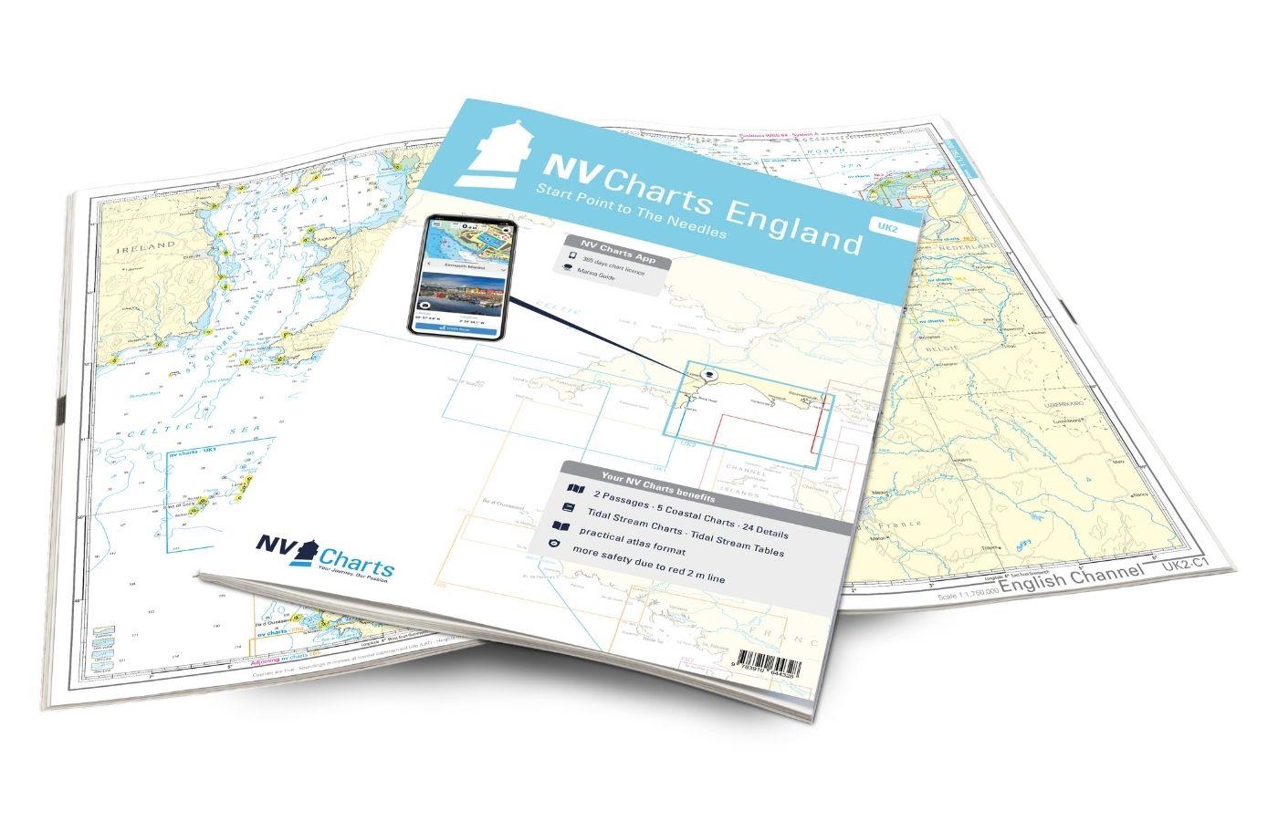
NV Charts England UK2 - Start Point to the Needles
Anyone longing for a natural, relaxing vacation will be delighted with the NV Charts England UK2 is the best advice. Our charts are based on official data from the United Kingdom Hydrographi

€64.99*
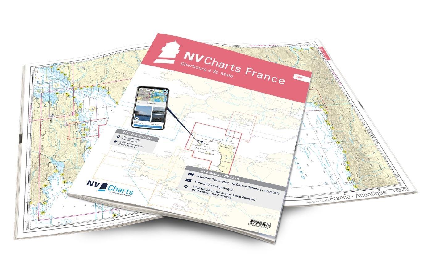
NV Charts France FR2 - Cherbourg à St. Malo
If you are drawn to the marvellous Channel Islands, the NV Charts Atlas FR2 is well advised! Thanks to the clear layout, the recreational skipper can quickly find approaches, harbours and anchorages a

€64.99*

Products near this article

Products near this article

NV Charts France FR2 - Cherbourg à St. Malo
If you are drawn to the marvellous Channel Islands, the NV Charts Atlas FR2 is well advised! Thanks to the clear layout, the recreational skipper can quickly find approaches, harbours and anchorages a

€64.99*
Shell Channel Pilot
English Channel Cruising GuideThe "Shell Channel Pilot" cruising guide is suitable for all water sports enthusiasts who wish to explore the English Channel on both the French and English sides. It cov

€50.50*

Reviews

0 of 0 reviews

Leave a review!

Share your experiences with other customers.