Skip to main content Skip to search Skip to main navigation

Maps & Port plans of series 10 11 12 13 and series 9.

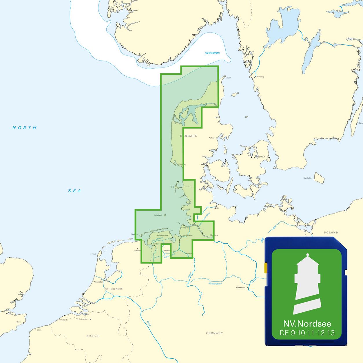
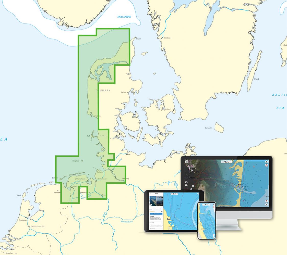
With this map you can get from Skagen over the Danish west coast to Borkum on the East Frisian Islands. All depth data and the buoyage of the Elbe from Hamburg and the Weser are also stored here and you will also find the plans for Germanys offshore island of Helgoland on the NV North Sea Plotterchip.

The charts are supplied on "adapter chips" so the appropriate format is included regardless of whether your chartplotter uses SD or Micro SD cards.

As the charts are not readable on all devices from Simrad Lowrance and B&G please do not hesitate to contact us if you are unsure.

The SD card or Micro SD contains the digital NV nautical charts of the following series:

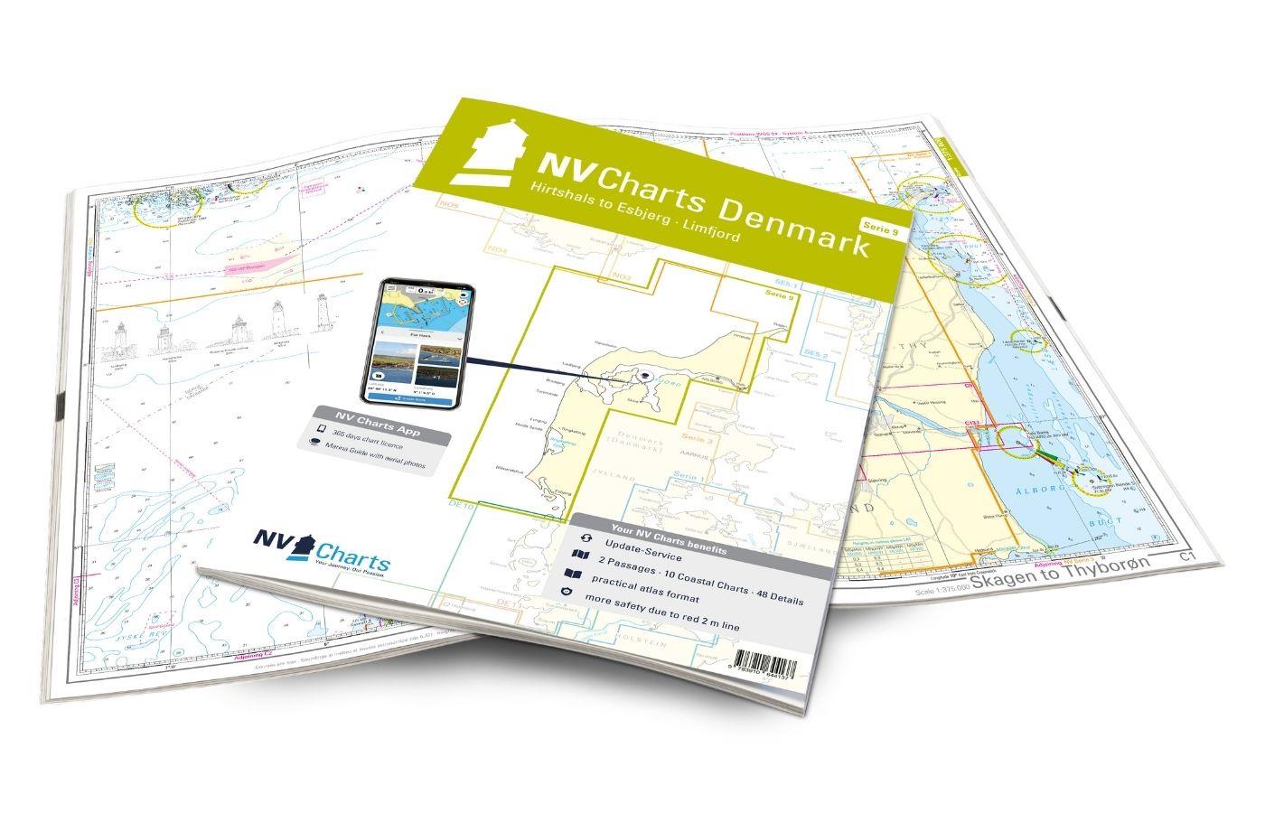
  • NV. Atlas series 9 Skagen to Rømø & Limfjord
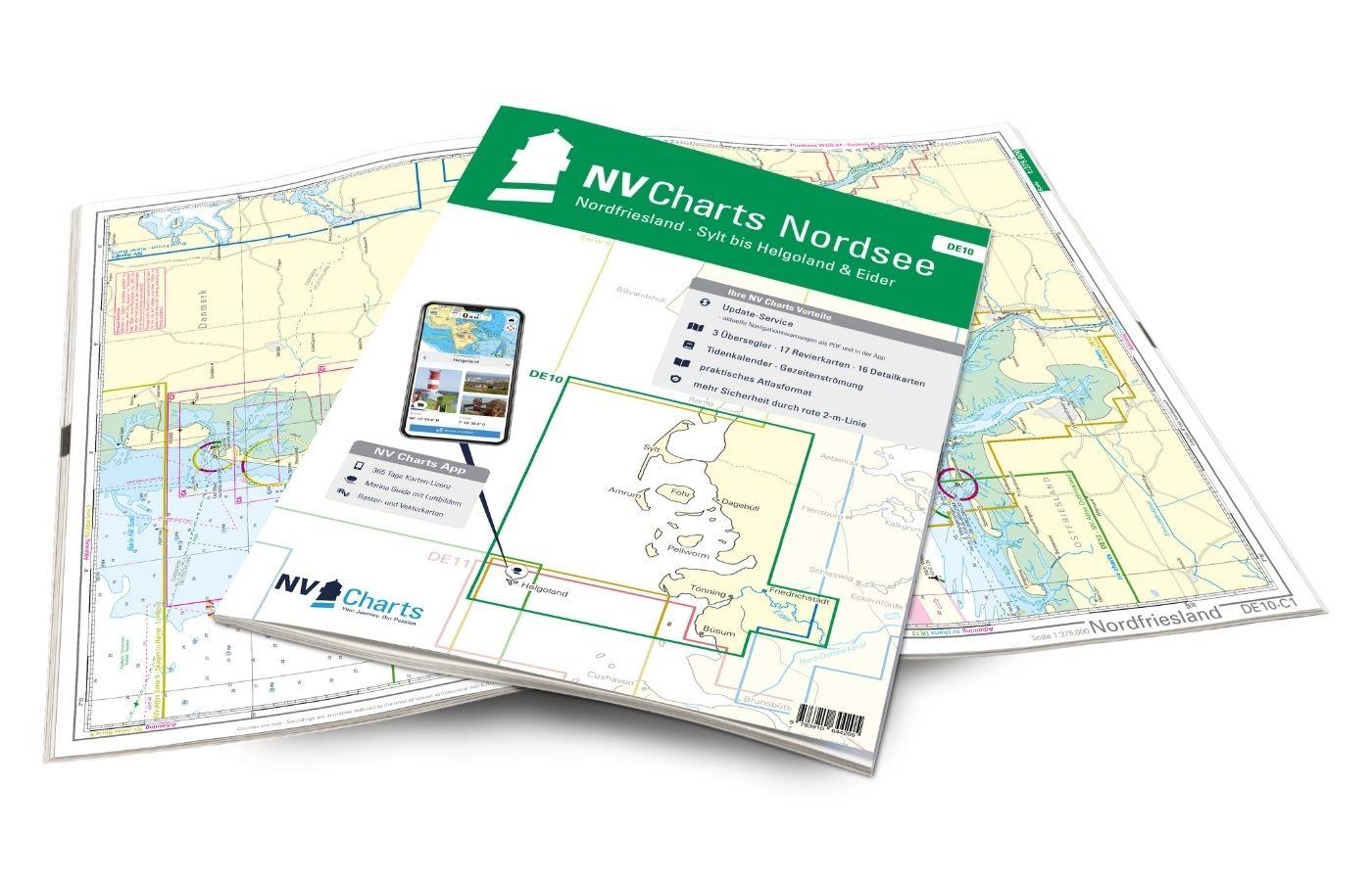
  • EN 10 - NV.Atlas Nordfriesland - Sylt to Helgoland & Eider
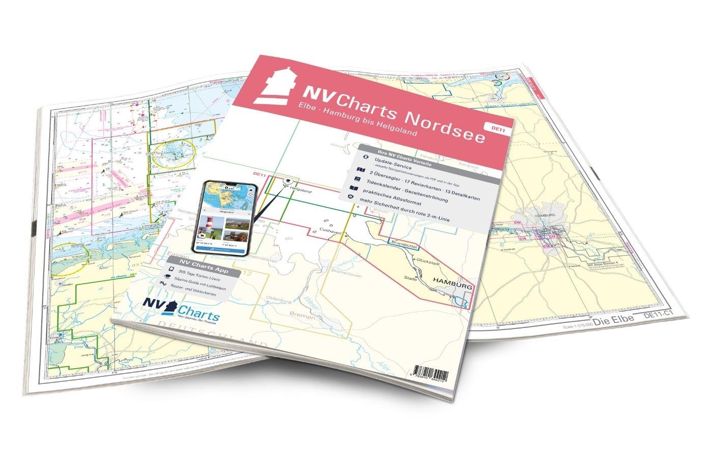
  • EN 11 - NV.Atlas Elbe - Helgoland to Hamburg
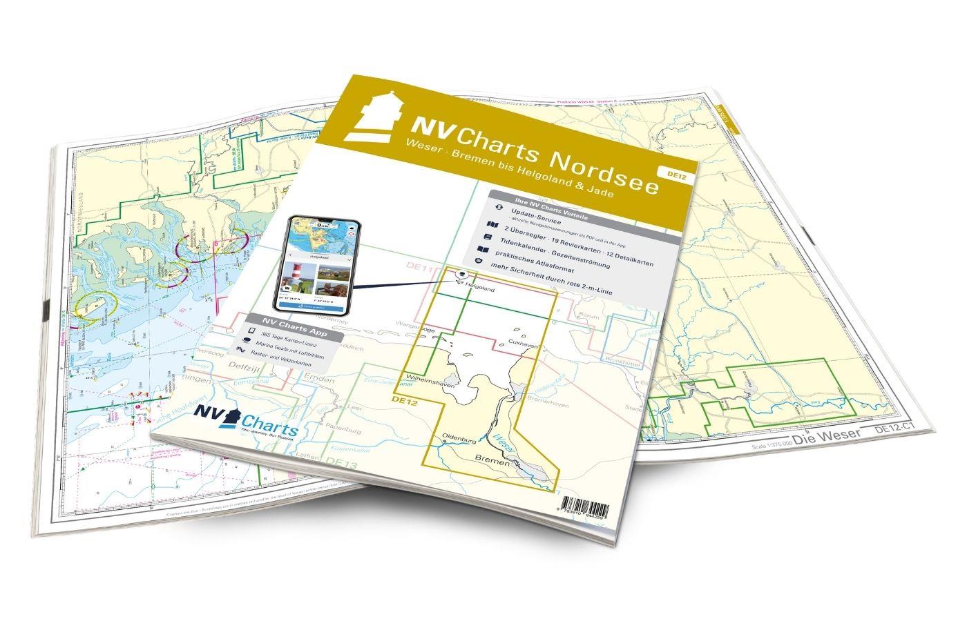
  • EN 12 - NV.Atlas Weser - Bremen to Helgoland & Jade
  • EN 13 - NV.Atlas Ostfriesland - Borkum to Helgoland & Ems


The nv.plotter charts are stored on SD card and can be used flexibly on the devices according to the plug & play principle.
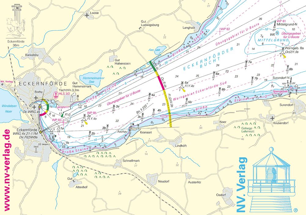
The map image is identical to that of the well-known NV.paper maps. Due to the raster chart display plotters with a screen size of 7 inches or more are recommended.

Features:

Lighthouse sectors are accurately displayed main fairways marked with minimum depths red 2-metre line well-presented and editorially prepared content sheet cut-free chart display.

Please note that NV plotter chips are currently only compatible with Navico Group (Simrad Lowrance B&G) instruments. 

  • Lowrance (All HDS series from Gen.1. & 2 & Elite TI)
  • Simrad (NSE NSS NSO and up)
  • B&G (All units Zeus / Vulcan series and up)


Digital plotter charts are an aid only and do not replace an actual paper chart.

0 of 0 reviews

Average rating of 0 out of 5 stars

Leave a review!

Share your experiences with other customers.


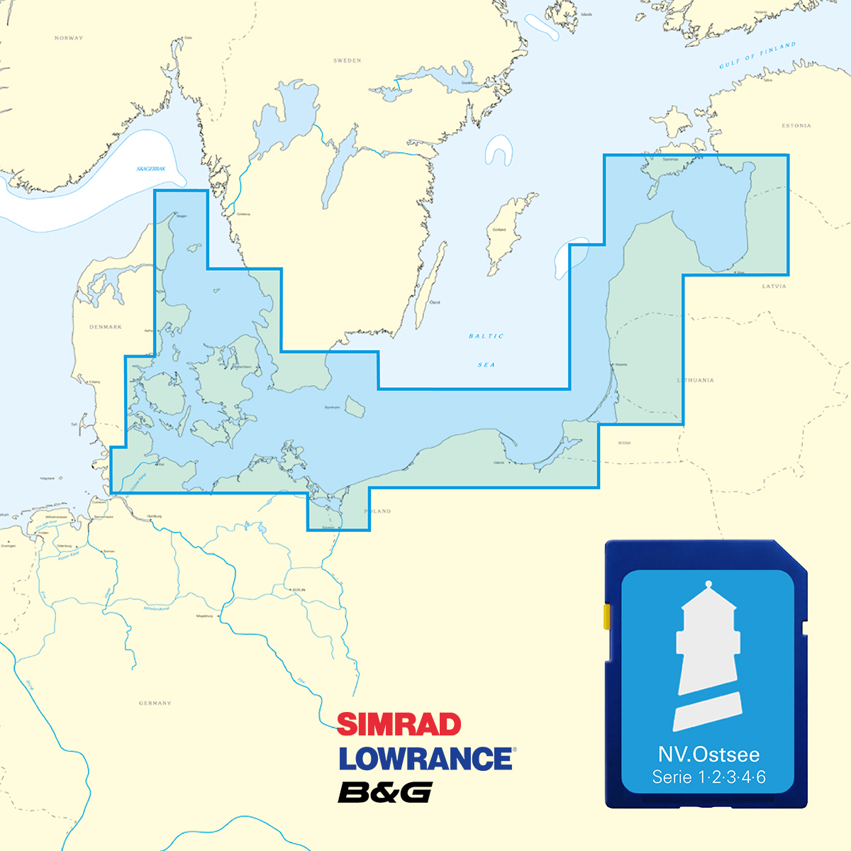
Area preview

With the help of our area preview, you can get an impression of which geographical region the product deals with or which areas a nautical chart covers.

Other customers bought also

Logbuch / Schiffstagebuch NV
The NV Logbook / Ships Diary with the officially prescribed page numbering is clear and practical.The clear division for navigation data with time course sm and remarks on the course of the voyage suc

€15.90*
Gastlandflagge Niederlande 30X45cm
Size: 30x45cm

Variants from €5.85*
€9.90*
Gebietsvorschau für NV Charts Pilot 2, North Sea - Falmouth to Kristiansand - Inverness öffnen
NV Charts Pilot 2, North Sea - Falmouth to Kristiansand - Inverness
NV Charts Pilot 2, North Sea - Falmouth to Kristiansand - InvernessThe Pilot 2 from NV Charts is the planning chart that is needed for the North Sea. The west coast of Denmark, the German North Sea an

€24.99*
Subs.available
Gebietsvorschau für NV Charts Nordsee DE13 - Ostfriesland, Borkum bis Helgoland & Ems öffnen
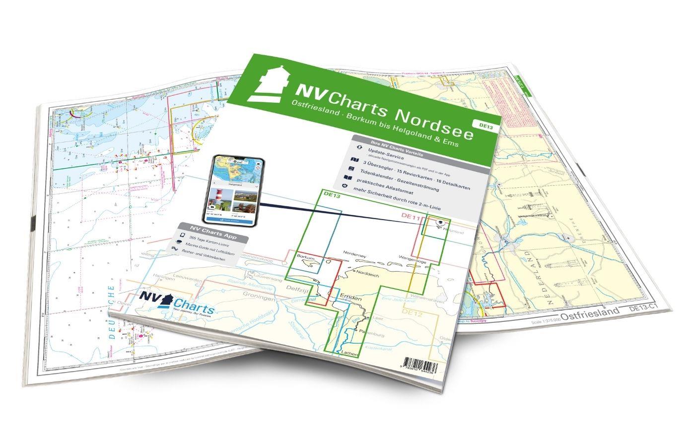
NV Charts Nordsee DE13 - Ostfriesland, Borkum bis Helgoland & Ems
Purchase type: One-time
The East Frisian islands of Borkum, Juist, Norderney, Baltrum, Langeoog, Spiekeroog and Wangerooge are both attractive and demanding. Seemingly endless expanse, the fresh breeze and long beaches chara

Variants from €58.49*
€64.99*

Related products to this item

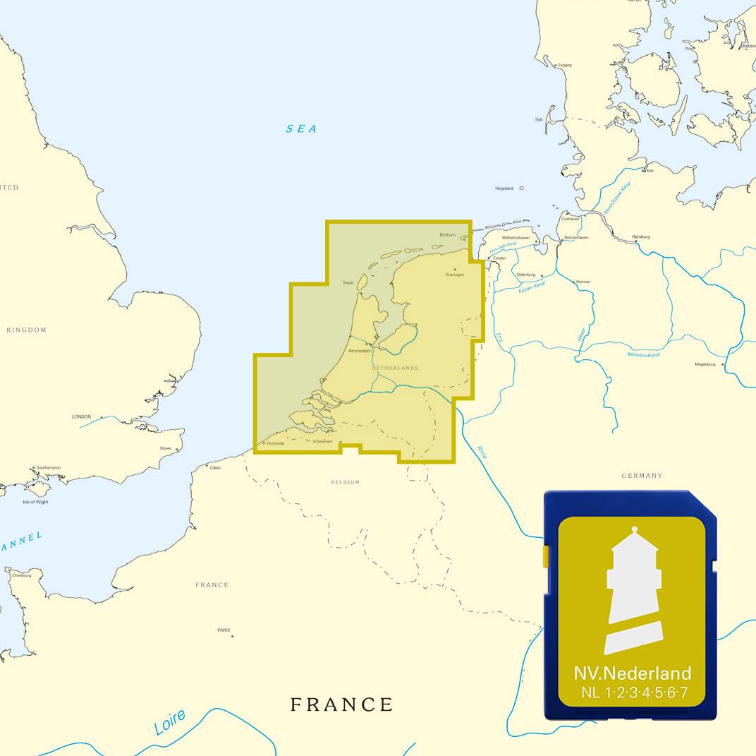
NV Niederlande Plotterseekarten
Maps of the series NL 1 NL 2 NL 3 NL4 NL 6 and NL 7With this map the Netherlands are completely covered both the coastal waters from Borkum to Oostende as the Ijsselmeer and the inland waters from Maa

€129.99*
Gebietsvorschau für NV Charts Nederland NL2 - Waddenzee öffnen
NV Charts Nederland NL2 - Waddenzee
The NV Atlas NL2 is the ideal chart to explore the Waddenzee region.The chart series, specially designed for recreational boating, contains the nautical charts in various sizes, as well as all harbor

Variants from €58.49*
€64.99*
Gebietsvorschau für NV Charts Nordsee DE11 - Elbe, Hamburg bis Helgoland öffnen
NV Charts Nordsee DE11 - Elbe, Hamburg bis Helgoland
Hamburg to Helgoland, the world-famous northern German port city and Germany's only offshore island. The chart set DE 11 Elbe to Helgoland takes you from the Port of Hamburg via Stade, Glücksstadt to

Variants from €58.49*
€64.99*
Gebietsvorschau für NV Charts Nederland NL1 - Borkum naar Oostende öffnen
NV Charts Nederland NL1 - Borkum naar Oostende
The NV Charts Nederland NL1 Oostende naar Borkum  is a chart series specially designed for recreational boating and contains the nautical charts in various sizes, as well as all harbour plans and

Variants from €58.49*
€64.99*
Gebietsvorschau für NV Charts Nordsee DE13 - Ostfriesland, Borkum bis Helgoland & Ems öffnen
NV Charts Nordsee DE13 - Ostfriesland, Borkum bis Helgoland & Ems
The East Frisian islands of Borkum, Juist, Norderney, Baltrum, Langeoog, Spiekeroog and Wangerooge are both attractive and demanding. Seemingly endless expanse, the fresh breeze and long beaches chara

Variants from €58.49*
€64.99*
ANWB Wateralmanak 1 2025/2026
Gesetzliche Anforderung & Schiffahrtsregeln für die Niederlande und Belgien Der Wateralmanak 1 ist ein unverzichtbares Handbuch für Bootsfahrer und Wassersportler, die auf den Binne

€22.99*