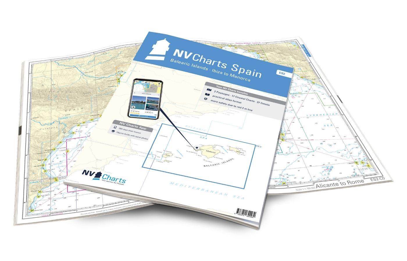
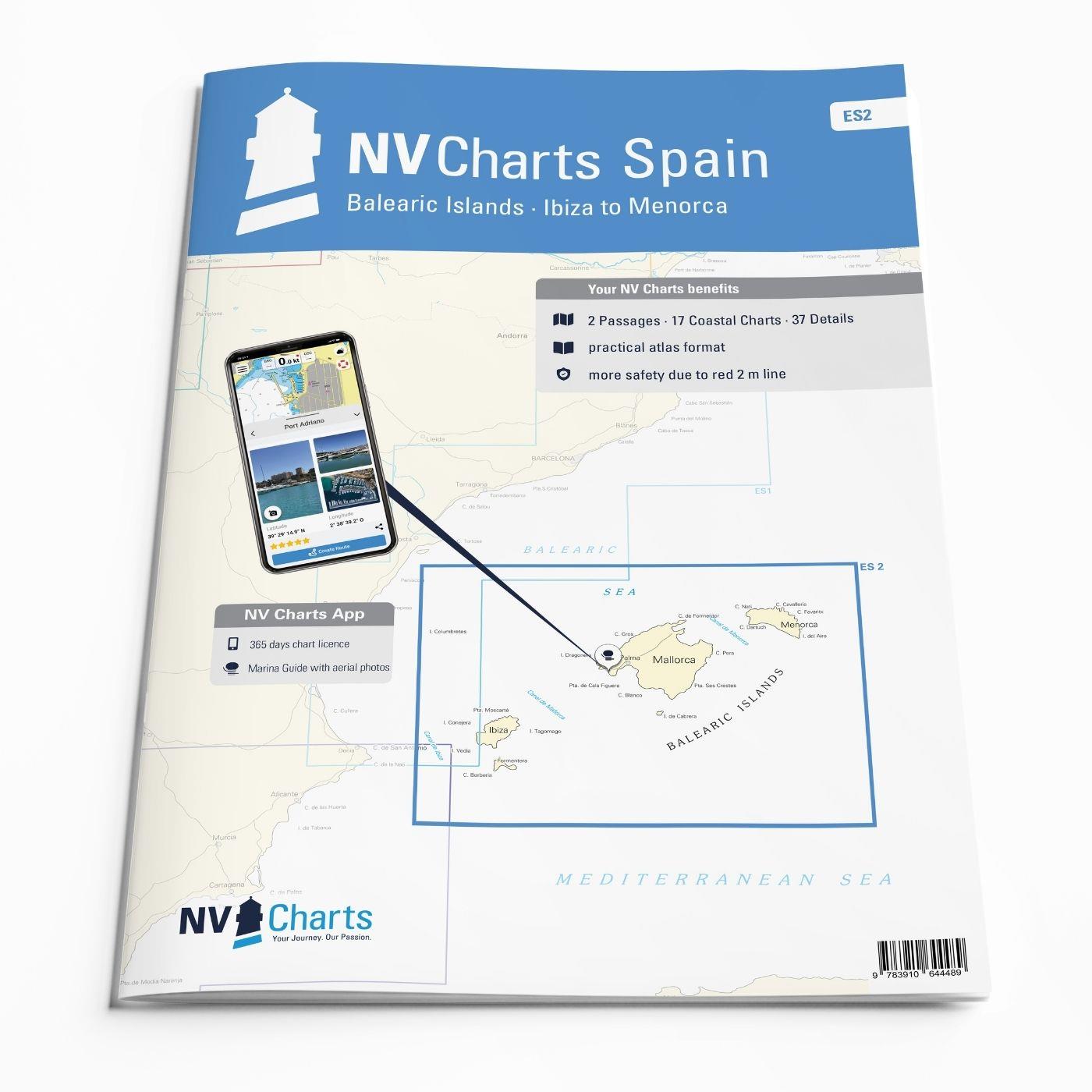
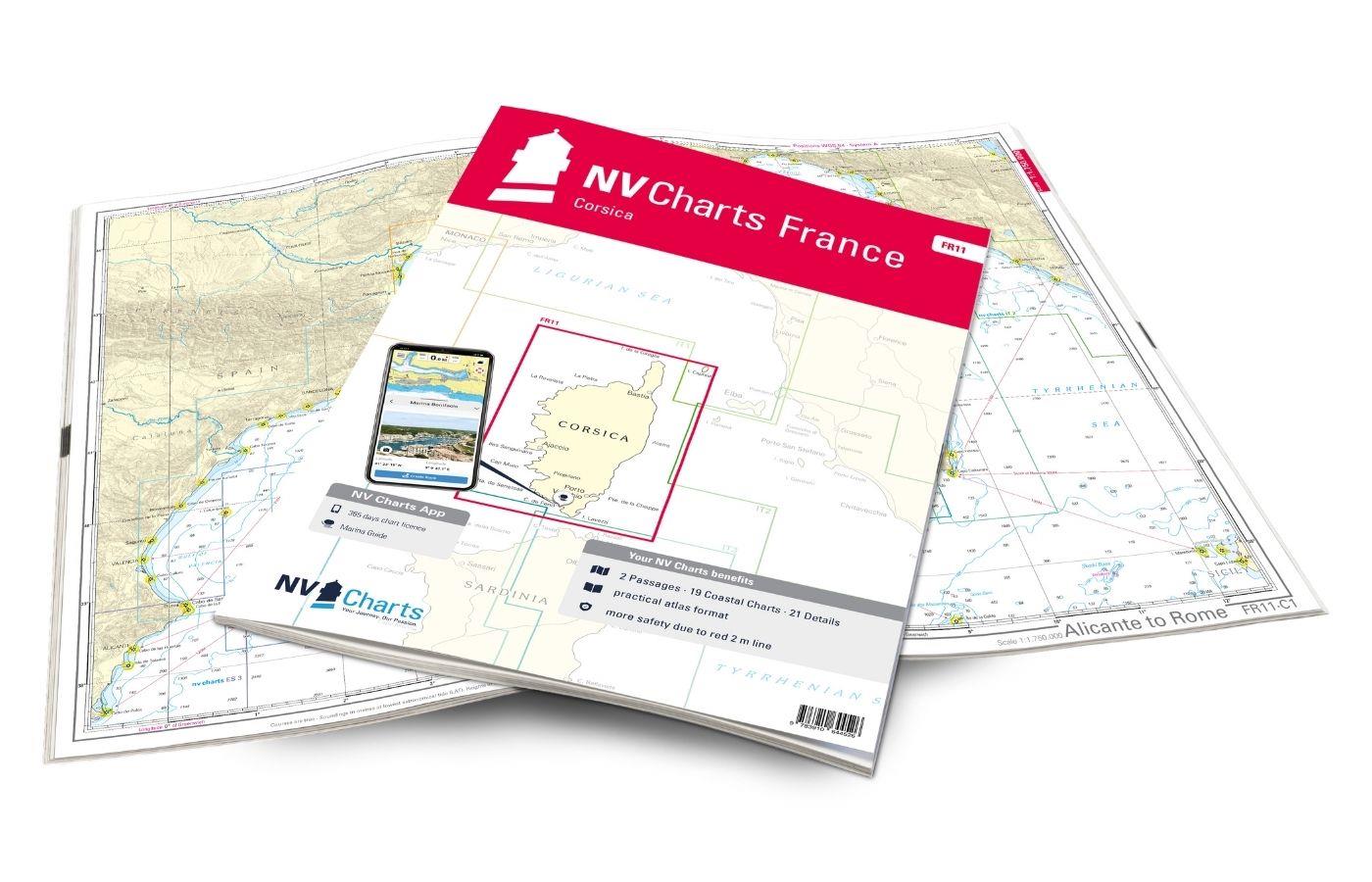
NV Charts Spain ES2 Balearic Islands · Ibiza to Menorca
Description
With the NV Charts Atlas ES2 you have the perfect companion for the Balearic Islands. Thanks to the clear layout, the recreational skipper can quickly find approaches, harbours and anchorages and is informed of navigationally important details that also appear in the NV Charts app. The chart series impresses with its optimised dimensions and balanced sheet sections.
Regions overview
The Balearic Islands are a very popular water sports region. This is reflected in the many charter companies and the busy harbours. With the ES2, you can choose between the four islands of Ibiza, Formentera, Mallorca and Menorca or, of course, visit all four islands if you have enough time. If you are coming from the Spanish mainland, Ibiza is the first port of call. If you prefer things a little more relaxed, you should also pay a visit to Formentera. As the largest island, Mallorca offers the most diverse landscape between beautiful beaches and bays and mountainous regions, some of which even reach the coast. However, as anchoring is not permitted in every bay, a travel guide and a nautical chart are very important for a relaxed trip. The marvellous east coast of Mallorca also invites you to take a dip in Menorca - little hustle and bustle, but plenty of nature awaits you on this island. There is a good chance of finding a secluded bay.
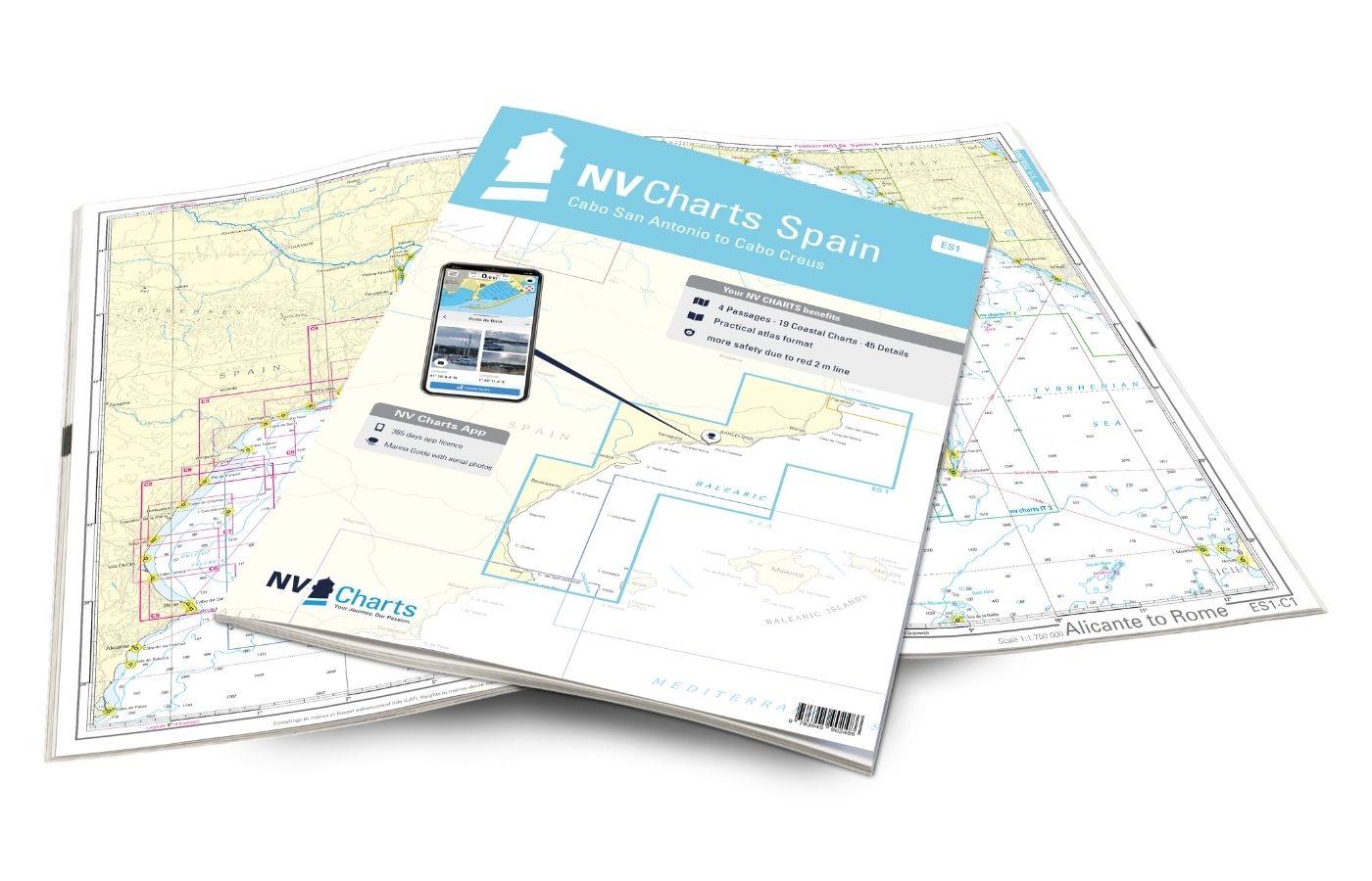
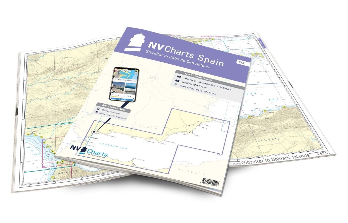
We recommend the ES1 as another chart to get from the Balearic Islands to the mainland and visit cities such as Valencia and Barcelona. If you are travelling to southern Spain, we can also recommend the ES3. We will be happy to advise you on the latest tour guides for the Balearic Islands!
This map set includes
- 2 &sailors
- 17 district maps
- 37 detailed maps
- Digital charts for navigation program and NV Charts App 356-day licence
- Navigation instructions in English
- Harbour plans paper & digital
- Fulfils all legal requirements for up-to-date paper charts on board
All advantages at a glance
- NV Atlas chart format: Practical, handy atlas format, opened in A2, closed in A3 format, flat staple binding in the centre - makes it easy to work with the course triangle
- NV Charts app: including access code to the digital nautical charts of the purchased area in the NV Charts app with 365-day licence, for offline navigation with the app on iOS, Android, PC, Mac or in the web browser, comprehensive harbour manual
- Extremely detailed: Nautical charts based on data from official surveys and own surveys, particularly detailed outside the main fairways
- Optimised for recreational boating
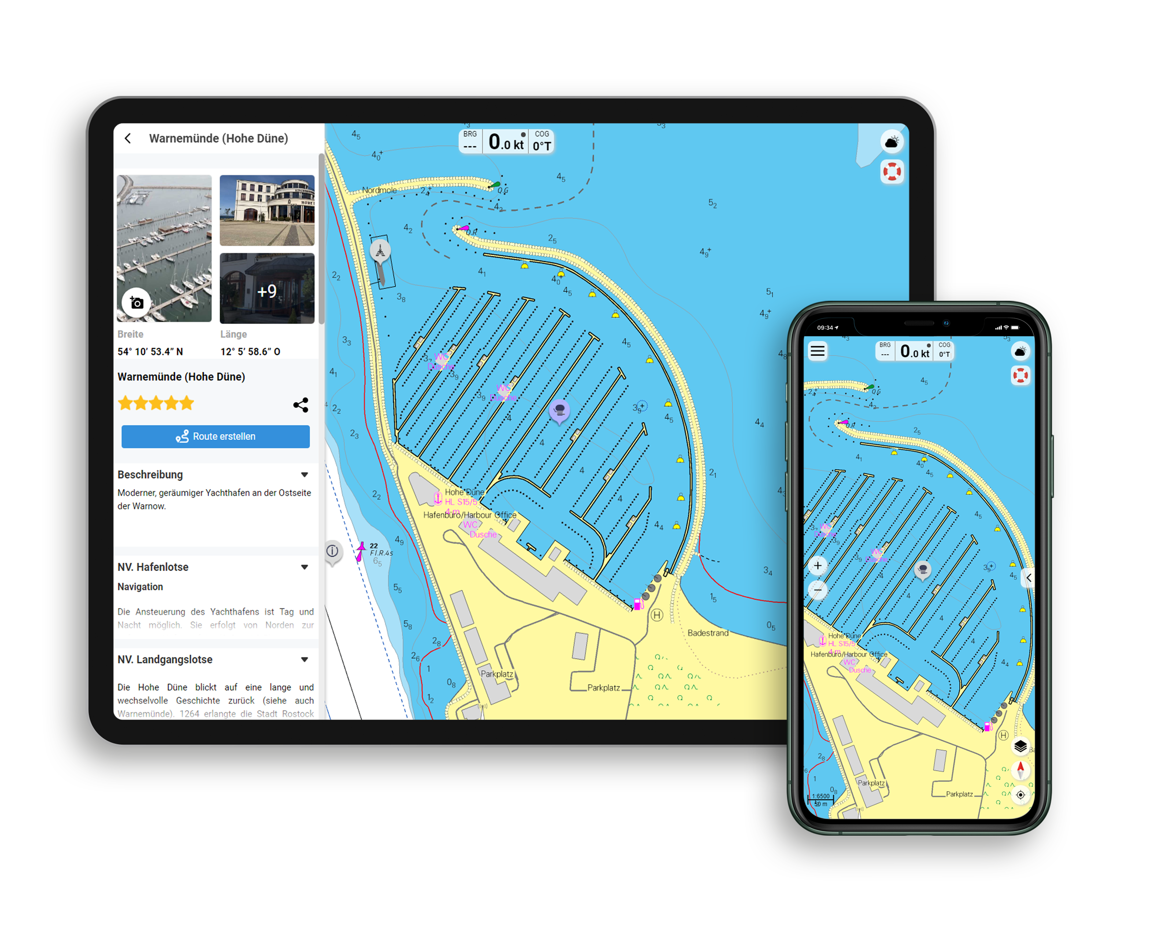
Functions of the NV Charts app
- Flexible autorouting
- Satellite overlay
- Augmented reality
- VMG (Velocity Made Good)
- BoatView harbour guide
- Track recording
- AIS connection and much more.
Charts and measures included
Übersegler
C 0 Alicante to Rome 1 : 1,750,000 , C 1 Ibiza - Mallorca - Menorca 1 : 600,000
Area maps
C 2 Ibiza West 1 : 60,000 , C 3 Ibiza North 1 : 60,000 , C 4 Ibiza South 1 : 60,000 , C 5 Formentera 1 : 60,000 , C 6 Bahia de Palma 1 : 60,000 , C 7 Bahia de Palma to Isla Dragonera 1 : 60,000 , C 8 Isla Dragonera to Cabo Gros 1 : 60,000 , C 9 Cabo Gros to Pta. Beca 1 : 60.000 , C10 Pta. Beca to Bahia de Pollensa 1 : 60.000 , C11 Bahias de Pollensa & Alcudia 1 : 60.000 , C12 Bahia de Alcudia to Porto Christo 1 : 60.000 , C13 Porto Christo to Porto Petro 1 : 60.000 , C14 Porto Petro to Pta. Puntassa 1 : 60.000 , C15 Pta. Puntassa to Cabo Blanco - Cabrera 1 : 60.000 C16 Menorca West 1 : 60.000 C17 Menorca Northeast 1 : 60.000 , C18 Menorca Southeast 1 : 60.000
Detailed maps
C19 A Ibiza - Isla Espalmador 1 : 40,000 , C19 B Menorca - Cala Fornells 1 : 15,000 , C20 Bahia de Palma Northwest 1 : 15,000 , C21 A Mallorca - Porto Petro & Cala d'Or 1 : 10,000 , C21 B Mallorca - Cala Es Borri 1 : 15. 000 , C21 C Mallorca - Cala Gamba 1 : 7.000 , C21 D Mallorca - Porto Colom 1 : 10.000 , C21 E Mallorca - Puerto de Pollensa 1 : 15.000 , C22 A Menorca - Puerto de Mahon 1 : 20.000 , C22 B Menorca - Puerto de Addaya 1 : 20. 000 , C22 C Cabrera - Puerto de Cabrera 1 : 10.000 , C23 A Mallorca - Ensenada de Sta. Ponsa 1 : 20.000 , C23 B Mallorca - Feu de Dragonera 1 : 20.000 , C23 C Mallorca - Puerto de Andraitx 1 : 10. 000 , Harbour & Anchorage Pilot , C24 Harbour Information C19-C23 , C25-1 Ibiza - Puerto de Ibiza 1 : 15.000 , C25-2 Ibiza - Santa Eulalia 1 : 10.000 , C25-3 Mallorca - Santa Ponsa 1 : 10.000 , C25-4 Formentera - Isla Espalmador 1 : 10. 000 , C25-5 Formentera - Puerto de la Savina 1 : 5.000 , C25-6 Ibiza - St. Antoni de Portmany 1 : 20.000 , C26-1 Mallorca - Port Adriano 1 : 11.500 , C26-2 Mallorca - Port Portixol 1 : 7. 000 , C26-3 Mallorca - Puerto San Antonio 1 : 10.000 , C26-4 Mallorca - El Arenal 1 : 7.500 , C26-5 Mallorca - S'Estanyol 1 : 10.000 , C26-4 Mallorca - La Rápita 1 : 5.000 , C27-1 Mallorca - Puerto de Campos 1 : 5. 000 , C27-2 Mallorca - Porto Cristo 1 : 10.000 , C27-3 Mallorca - Puerto de Sóller 1 : 10.000 , C27-4 Mallorca - Cala Figuera 1 : 5.000 , C27-5 Menorca - Ciutadella 1 : 10.000 , C27-6 Mallorca - Cala Bona 1 : 2. 400 , C28-1 Mallorca - Cala Ratjada 1 : 10.000 , C28-2 Mallorca - Colonia San Pedro 1 : 5.000 , C28-3 Mallorca - Ca'n Picafort 1 : 10.000 , C28-4 Mallorca - Puerto de Alcudia 1 : 15.000 , c28-5 Mallorca - Puerto de Bonaire 1 : 10.000
Legend - General Notes C29
| App License: | NV Charts App |
|---|---|
| Format: | NV Atlas, Gebundener Kartensatz |
With the help of our area preview, you can get an impression of which geographical region the product deals with or which areas a nautical chart covers.
Reviews
Login
26 February 2021 22:59
Guter Tipp
Haben die Karten für einen Charter Törn im August gekauft, macht einen guten Eindruck grade mit der App.

