
Description
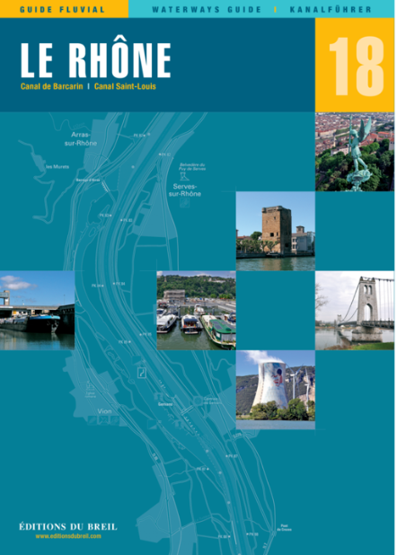
Le Petit Rhône canal de Barcarin canal Saint-Louis.
The Rhône is the "grand fleuve" (big river) of French Provence. The partly very wide and powerful river should be enjoyed with caution especially when it allies with the strong winds of the Mistral. Otherwise however it flows along with leisurely force and has long since lost the destructive power it had many years ago.
The Rône flows from north to sweet and connects Frances centre with the Mediterranean. The river is distinguished by its breathtaking and varied landscapes made up of narrow gorges wide plains terraced vineyards and orchards. Whether man-made structures or completely untouched nature: the landscape on the banks of the Rhône has something to offer for everyone.
Along the river you will find towns and buildings that reflect the different eras of our history as traces of the past. So you can admire castles towers ruins and many other contemporary witnesses. In addition many famous vineyards with great crus such as Côte Rôtie Hermitage Saint-Joseph Châteauneuf-du-Pape and of course all the Côtes du Rhône can be found along its banks.
The Rhône ends in a beautiful delta along the famous nature reserve of the Camarque. With its unique natural beauty its horses and its bulls it is definitely worth a visit.
Scale 1:50000/1:25000. trilingual "Guide fluvial" (frz./engl./dt.) by Editions du Breil. Colour map drawings throughout text includes nautical and tourist information.
| Format: | Softcover / Taschenbuch |
|---|---|
| Language: | Deutsch, Französisch, Englisch |
| Region: | Europa, Frankreich, Binnen |
With the help of our area preview, you can get an impression of which geographical region the product deals with or which areas a nautical chart covers.
Related products to this item
Related products to this item

Products near this article
Products near this article
Reviews
Login