
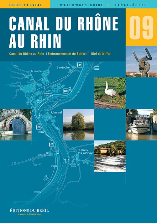
EDB 09 Canal du Rhone au Rhin
Description
Rhine-Rhône Canal Embranchement de Belfort Canal de Huningue
The Rhine-Rhône Canal connects the coasts of the Mediterranean and the North Sea and is divided into several sections. You start with the stretch between Saint-Symphorien and Dole followed by the canalised river Doubs to Voujeaucourt and finally you drive the also man-made section from Voujeaucourt to the Rhine.
You can admire breathtaking scenery along the entire 236 km stretch. At the beginning of the route for example you will find the Saône plain followed by the wooded hills of the Jura and at the end of the journey you will reach the Rhine valley.
In the north you can only navigate the canal in sections: Navigation is only possible again from Rhinau (see canal guide no. 4 Alsace-Lorraine/Elsace-Lorraine) and the section between Colmar and Rhinau is to be reopened in the near future.
Rhine-Rhône Canal Embranchement de Belfort Canal de Huningue. Scale 1:500000/1:25000 2021. trilingual "Guide fluvial" (frz./engl./dt.) by Editions du Breil. Colour map drawings throughout text includes nautical and tourist information.
| Format: | Softcover / Taschenbuch |
|---|---|
| Language: | Deutsch, Französisch, Englisch |
| Region: | Europa, Frankreich, Binnen |
With the help of our area preview, you can get an impression of which geographical region the product deals with or which areas a nautical chart covers.
Related products to this item
Related products to this item

Products near this article
Products near this article
Reviews
Login