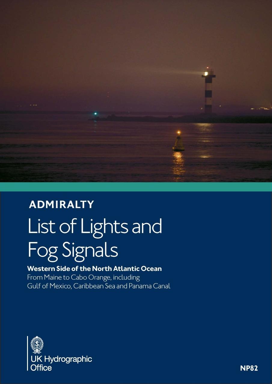
ADMIRALTY NP82 List of light and fog Signals Volume J - W & N Atlantic Ocean

Chart ID: NP82
Edition Date: 27.12.2023

€59.90*


Product number: 31574

Description

ADMIRALTY List of Lights and Fog Signals. Volume J - Western Side of the North Atlantic Ocean from Maine to Cabo Orange including the Gulf of Mexico Caribbean Sea and Panama Canal

Light directories are an indispensable aid to navigation. Available worldwide these British Admiralty editions include: International Number Name and Geographical Location Height in Metres Identification Sectors and Range.

The directories are published annually.

Format: Hardcover / gebunden
Language: Englisch
Area preview

With the help of our area preview, you can get an impression of which geographical region the product deals with or which areas a nautical chart covers.

Related products to this item

Related products to this item

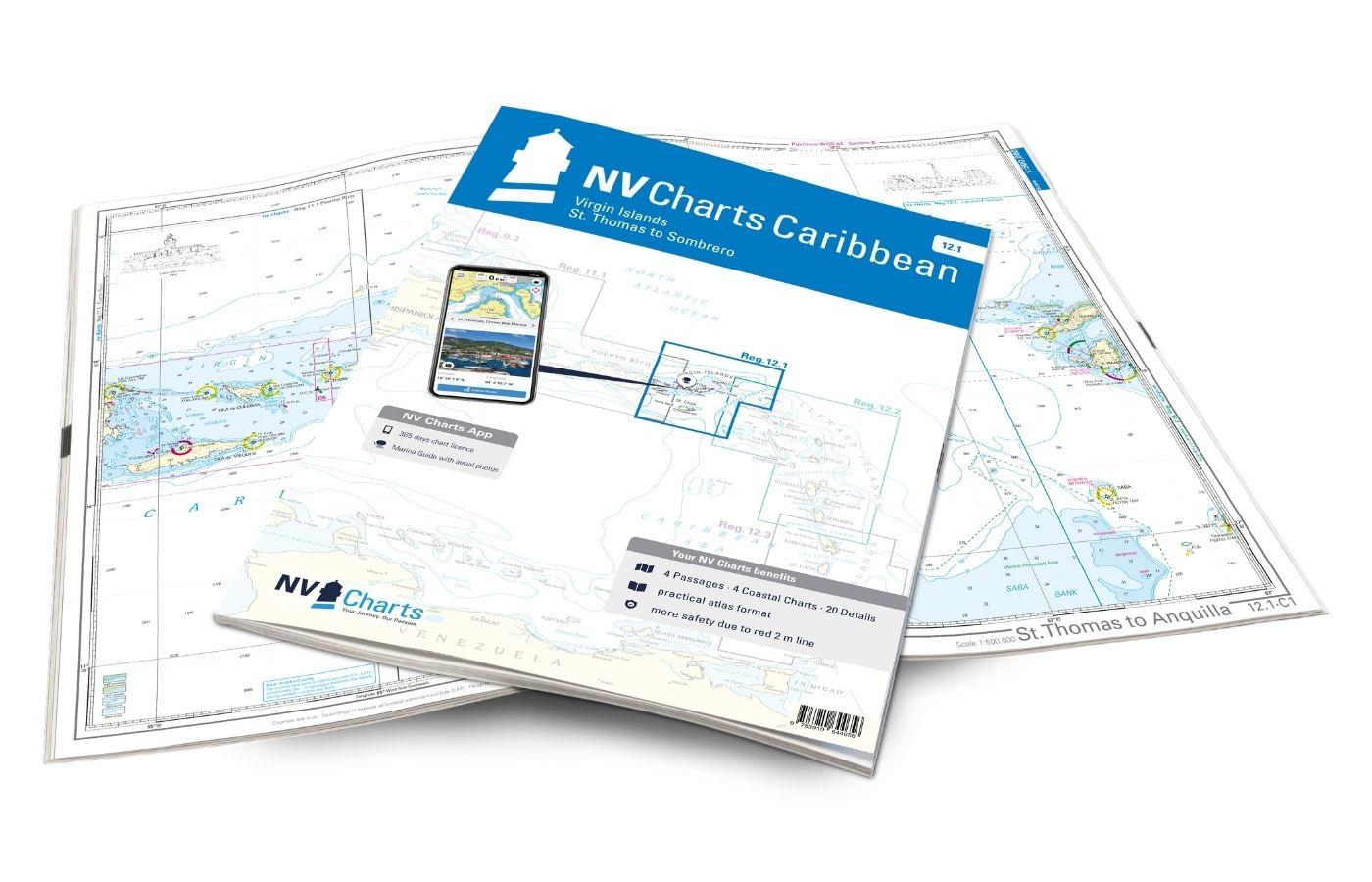
NV Charts Caribbean 12.1 - Virgin Islands
With the NV Charts Caribbean 12.1 you have the perfect companion for the Virgin Islands from St Thomas to Sombrero at your side. Thanks to the clear layout, you can find approaches, harbours and

€94.99*
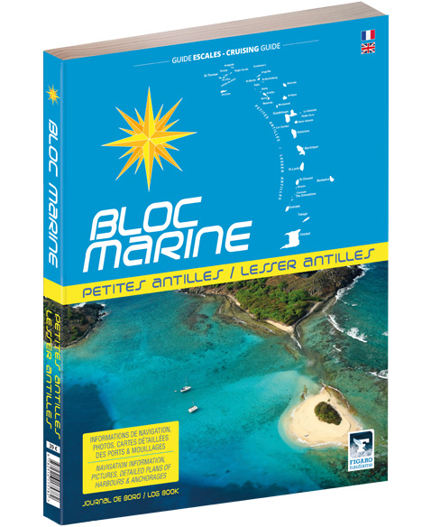
Bloc Marine: Petites Antilles
For accurate information on port areas safety at sea and recreational boating regulations the Bloc Marine Petites Antilles is a first-class travel companion. It contains numerous port plans and al

€39.00*
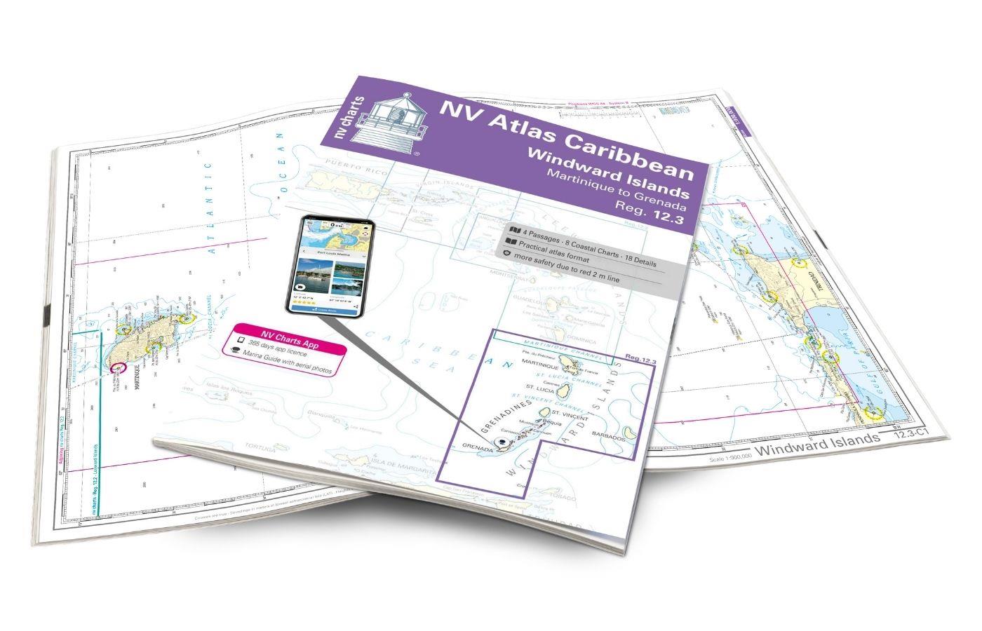
NV Charts Caribbean 12.3 - Windward Islands
With the NV Charts Atlas Caribbean 12.3 you have the perfect companion for the Windward Islands from Martinique to Grenada at your side. Thanks to the clear layout, you can find approaches,

€94.99*

Products near this article

Products near this article

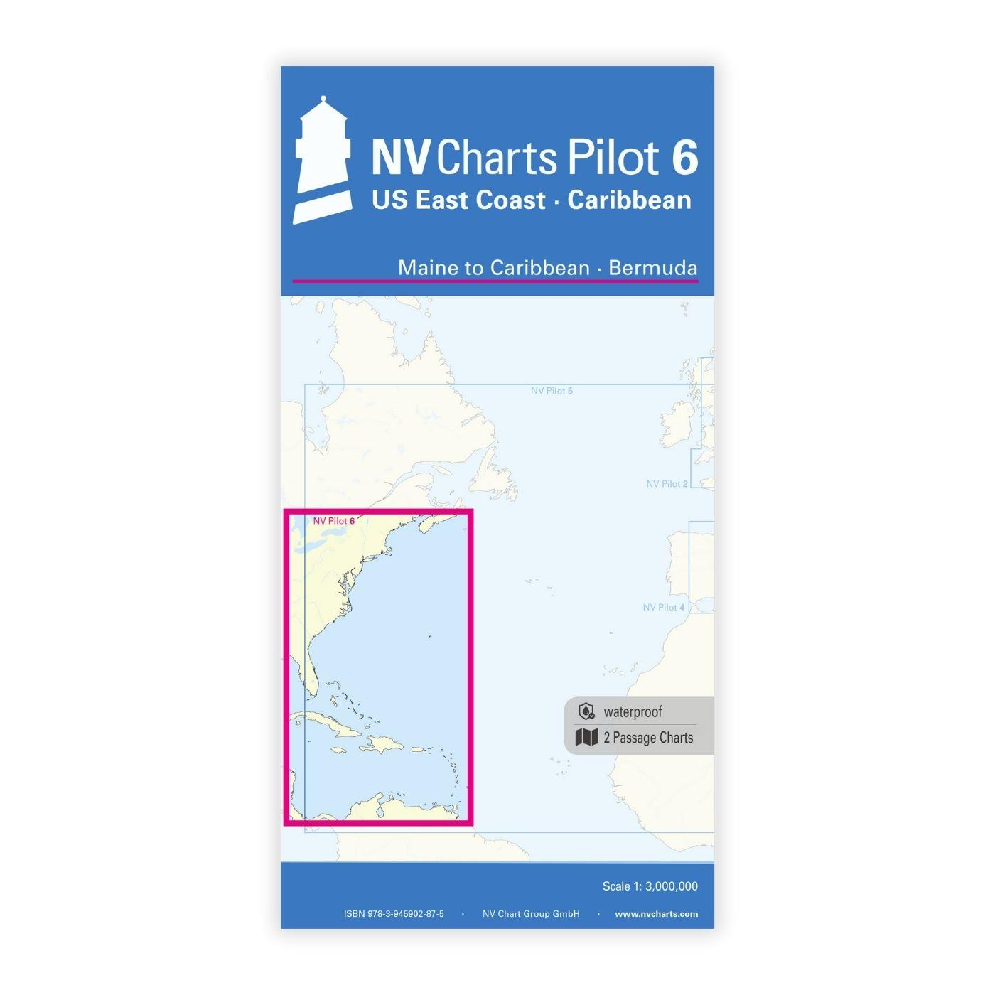
NV Charts Pilot 6 - US East Coast, Maine to Caribbean • Bermuda
The Pilot 6 is a planning chart for the east coast of the USA. The Antilles, Cuba and the Caribbean Sea can also be found on this chart.This folding chart consists of two overview charts:Chart 1, scal

€24.99*
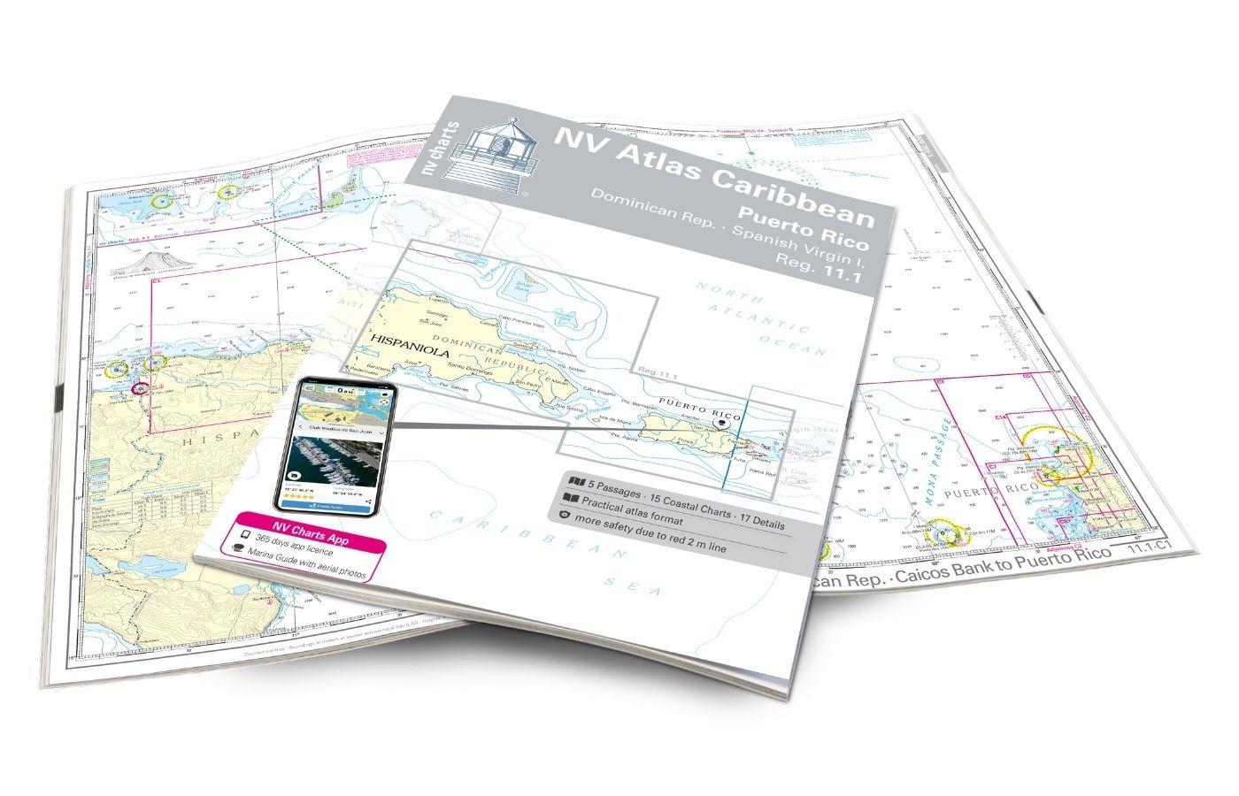
NV Charts Caribbean 11.1 - Puerto Rico - Dominican Republic - Spanish Virgin Islands
With the NV Charts Caribbean 11.1 Atlas you have the perfect companion for the Dominican Republic, Puerto Rico and the Spanish Virgin Islands at your side. Thanks to the clear layout, you can quickly

€94.99*
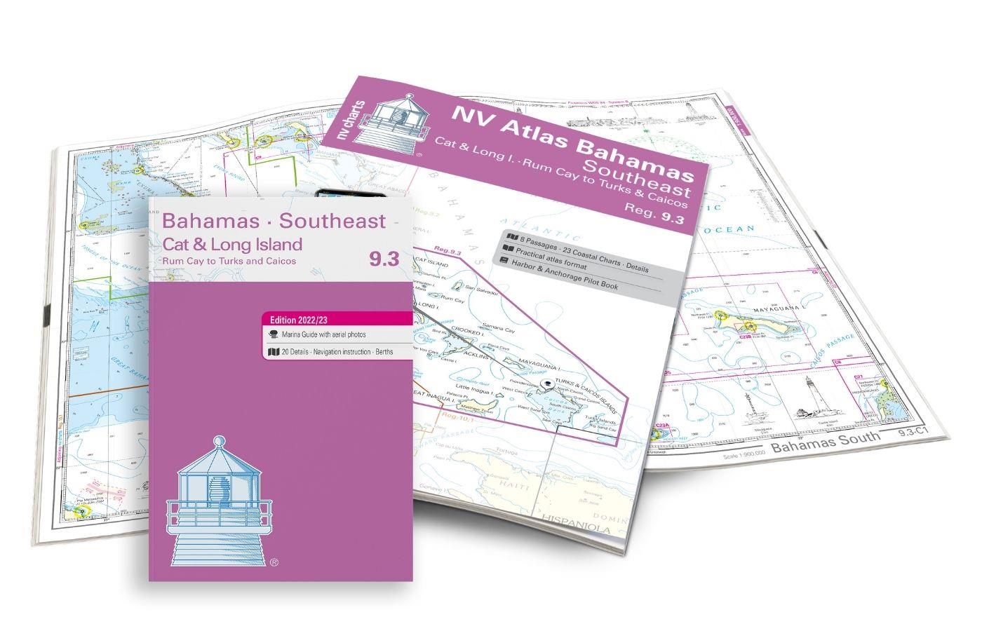
NV Atlas 9.3, Bahamas South East - Cat & Long Island - Rum Cay to Turks & Caicos
The NV Charts Bahamas 9.3 Atlas is the perfect companion for the southern Bahamas and the Turks and Caicos Islands . Thanks to the clear layout, the recreational skipper can quickly find approach

€74.99*
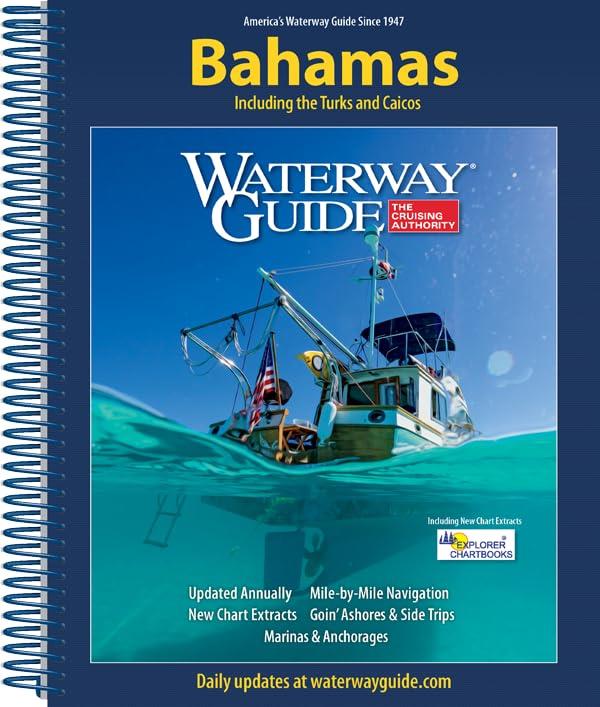
Waterway Guide Bahamas
The annually updated Waterway Guide Bahamas  is a useful travel companion for sailors anglers and powerboat enthusiasts exploring the Bahamasthe Turks and Caicos Islands.This cruising guide provi

€54.90*
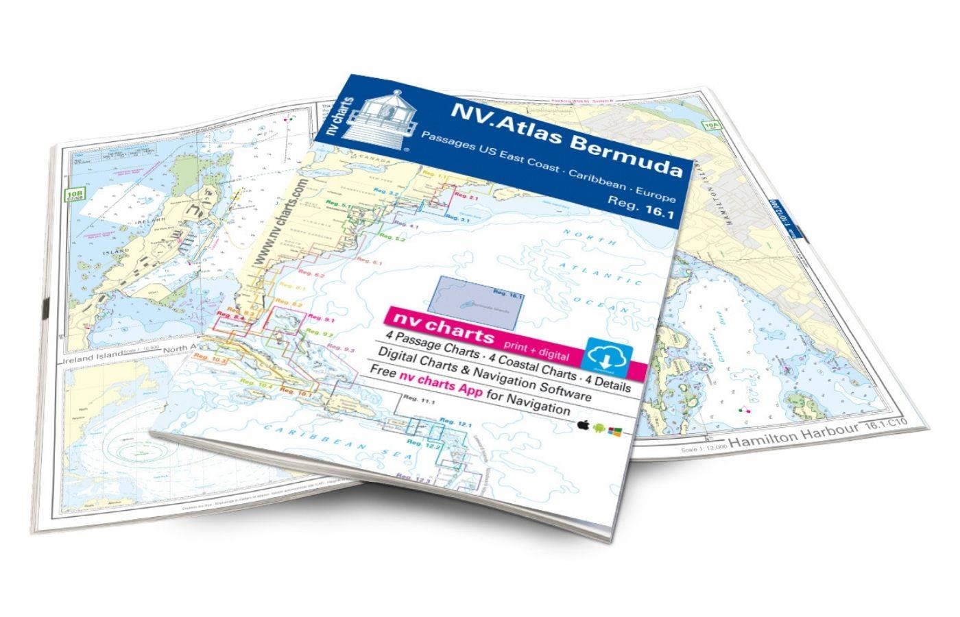
NV Charts Bermuda 16.1 - Passages US East Coast - Caribbean - Europe
With the NV Charts Bermuda 16.1 Atlas you have the right companion for the US East Coast - Caribbean - Europe passages at your side. Thanks to the clear layout, you can find accesses, harbours an

€69.80*

Reviews

0 of 0 reviews

Leave a review!

Share your experiences with other customers.