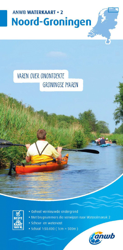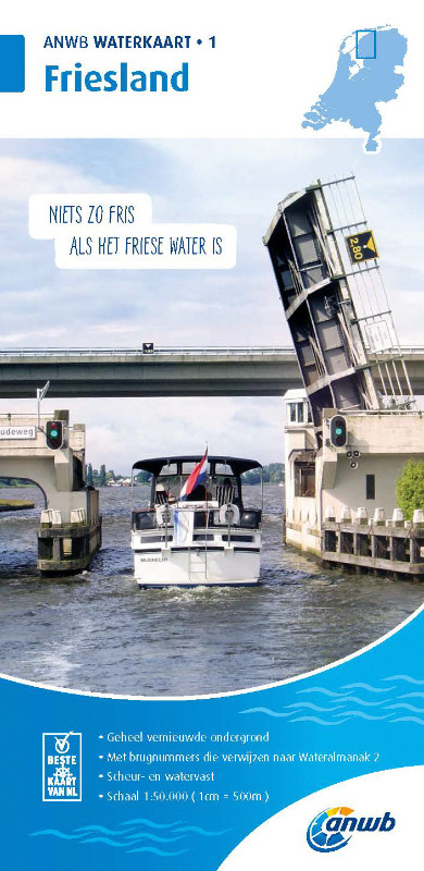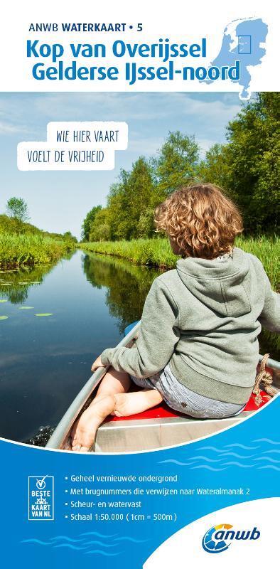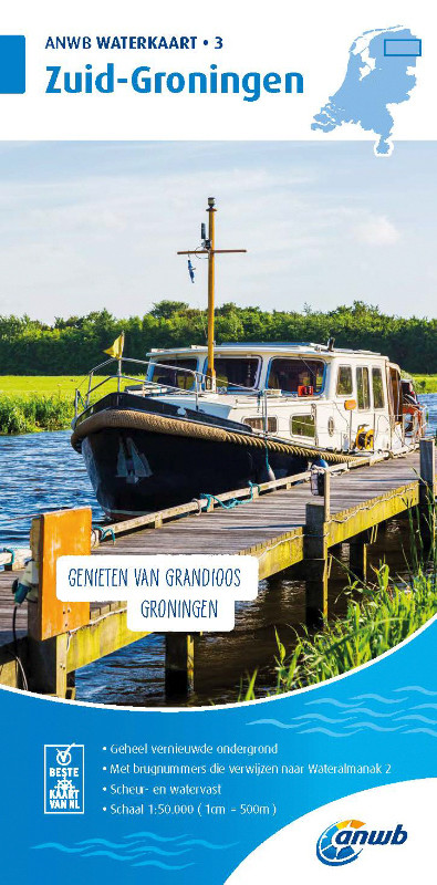

ANWB Waterkaart 3 - Zuid Groningen
Description
Inland map for the area Zuid-Groningen
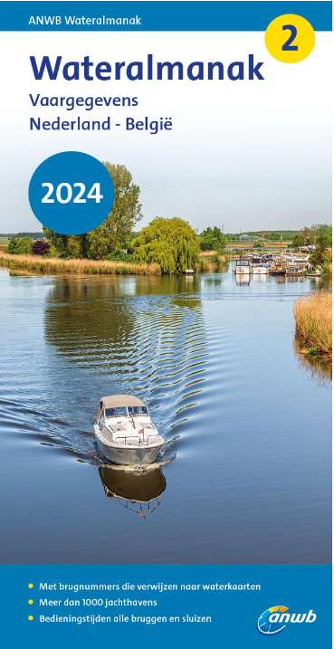
Folded map for Dutch inland area double-sided printed in full colour on thin art paper. Landscape format 100 x 70 cm (folded 25 x 125 cm). The map includes all navigable waterways and areas of the district. Navigation signs are complete depth indications only sparsely marked. The bridges and structures are partly numbered and refer to the structure numbers of the Wateralmanak 2 . The Wateralmanak 2 is also navigationally necessary for details of marinas and moorings.
- Dimensions: 100x70 cm
- Scale: 1:50000
- In Dutch with Dutch explanation of signs.
- Reliable and detailed nautical information on the chart
- Comprehensive legend
- With inset maps of the most important ports and places in a sailing area
- Overview chart
- The water charts are tear and water resistant
The chart is not suitable for navigation outside inland waters and in the Waddenzee.
Coverage for Waterkaart 3 - Zuid-Groningen:
Front 1:50.000 Bergum - Groningen Goredijk - Assen
52° 55.5 N to 53° 13.2 N
005° 58.0 E to 006° 35.1 E
Details: Groningen
Backside 1:50.000 Groningen - Oudezijl Assen - Sellingen
52° 55.2 N to 53° 13.0 N
006° 34.5.7 E to 007° 11.5 E
Details: Zuidlaardermeer
Our recommendation:
ANWB-Water charts
| Format: | Plano & Einzelkarten |
|---|
With the help of our area preview, you can get an impression of which geographical region the product deals with or which areas a nautical chart covers.
Related products to this item
Related products to this item
Products near this article
Products near this article
Reviews
0 of 0 reviews
Login

