HP 1 Netherlands Coast Pilot

Chart ID: NL-HP1

€54.70*


Product number: 22512

Description

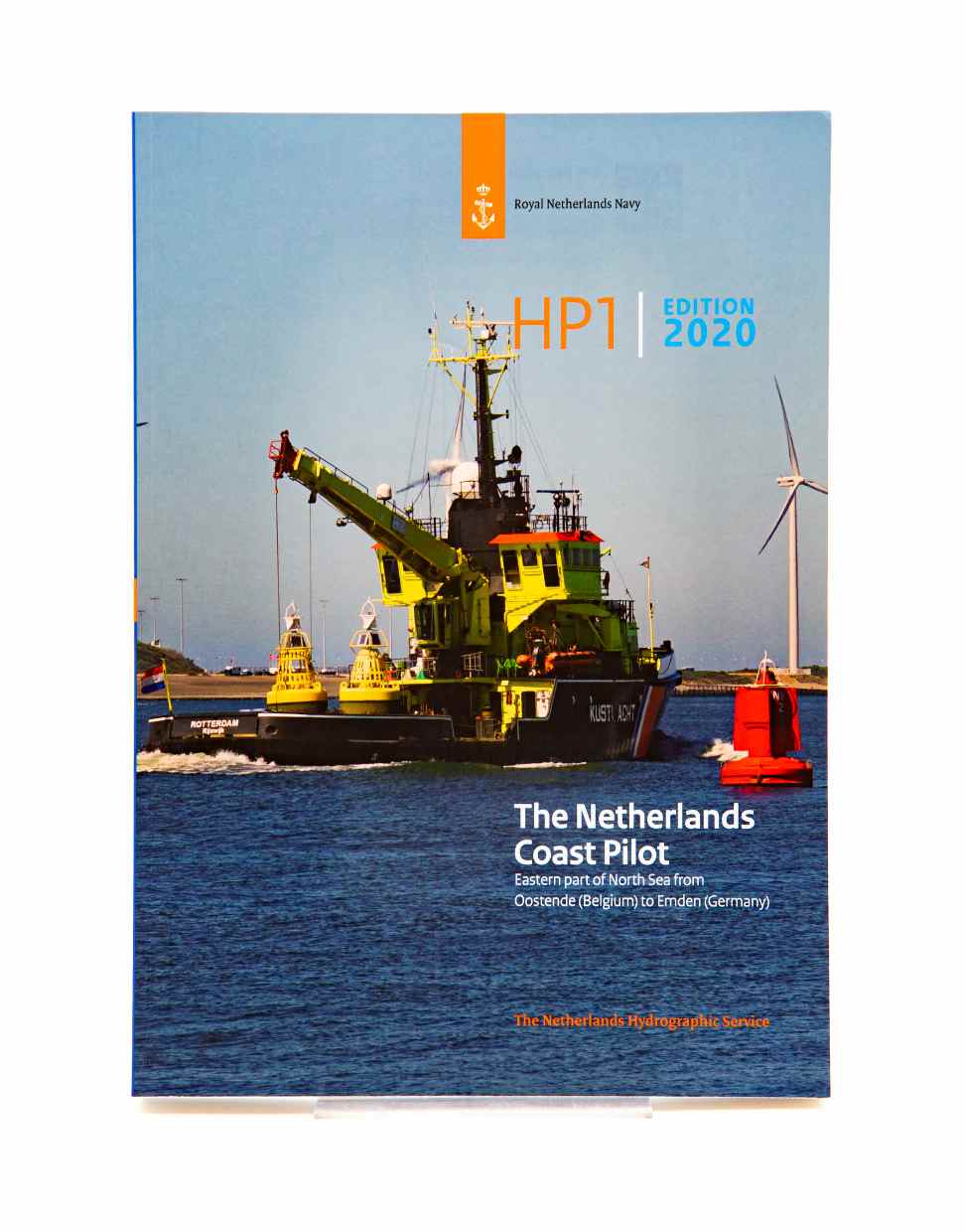
The official nautical handbook for the Dutch coast from Oostende (Belgium) to Emden (Germany) with detailed area information

The official publication The Netherlands Coast Pilot is published by the Hydrographic Service of the Netherlands under the abbreviation HP 1 . It is designed for use by commercial shipping and professional skippers and clarifies the details in the nautical charts. In addition it contains nautical details of the coastal waters of the Netherlands and Belgium including seaports and their approaches.

Coverage and content

This marine handbook is divided into 16 chapters. Chapters 1 to 5 contain general information. Chapters 6 to 16 cover specific sections of the voyage and provide the necessary information for safe navigation.

  1. General
  2. Navigation | Traffice Safety Meterology
  3. Oceanography
  4. Environment
  5. Westerschelde | Belgian Coast
  6. Oosterschelde
  7. Zeegat van Goeree
  8. Zeegat van Hoek van Holland
  9. Scheveningen
  10. IJmuiden
  11. Zeegat van Texel
  12. Zeegat van Terschelling
  13. Friesche Zeegat
  14. Ems Estuary
  15. IJsselmeer

Corrections

Changes affecting the Netherlands Coast Pilot HP1 will be published in the weekly messages for mariners of the Hydrographic Service of the Netherlands. Link to the News for Mariners (Berichten aan Zeevarenden) .

Language: Englisch
Size: Softcover
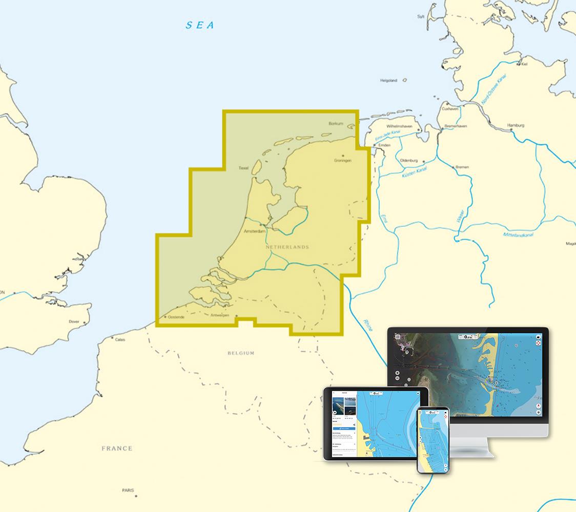
Area preview

With the help of our area preview, you can get an impression of which geographical region the product deals with or which areas a nautical chart covers.

Related products to this item

Related products to this item

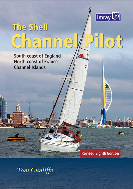
Shell Channel Pilot
English Channel Cruising GuideThe "Shell Channel Pilot" cruising guide is suitable for all water sports enthusiasts who wish to explore the English Channel on both the French and English sides. It cov

€50.50*
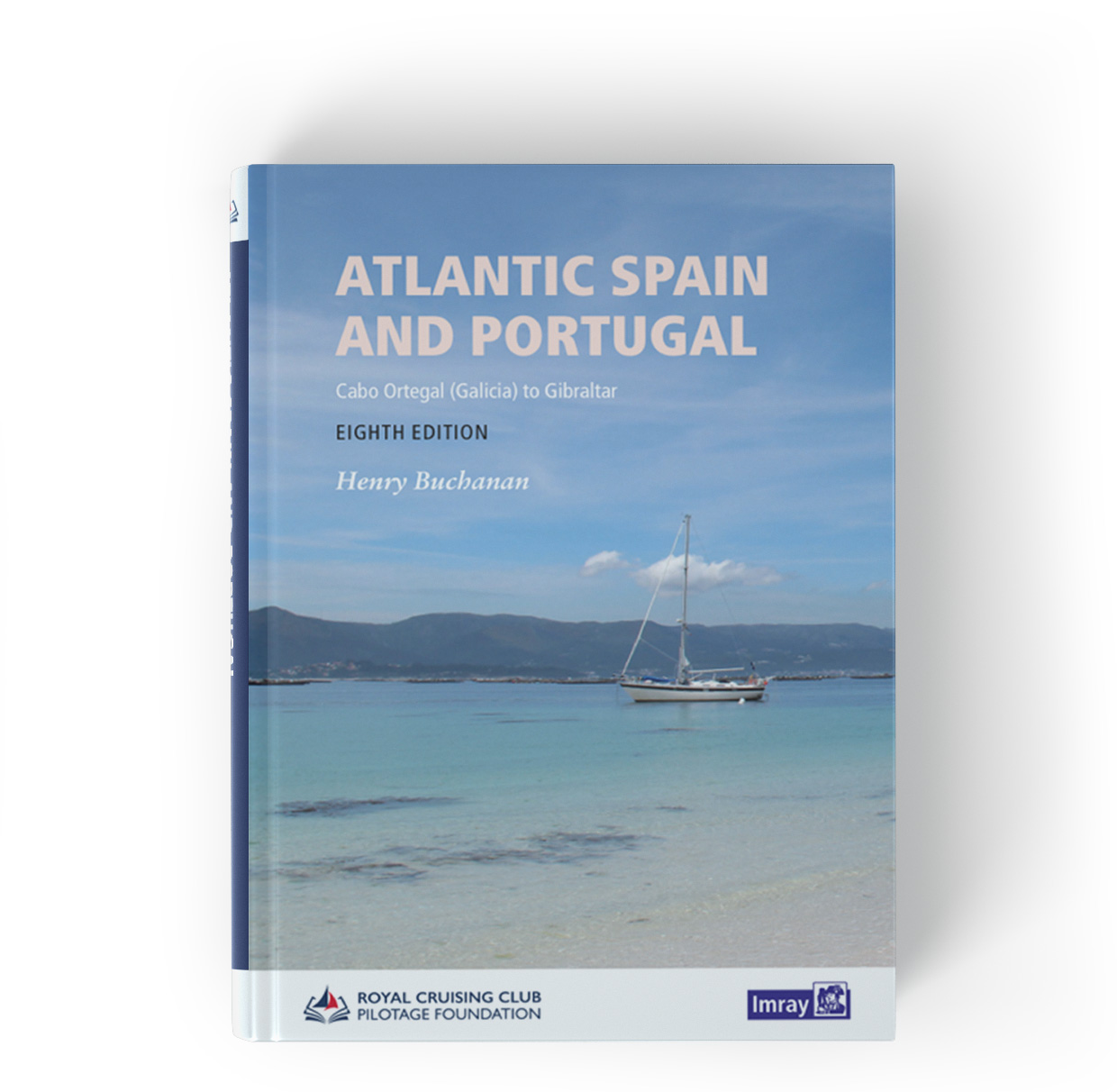
Atlantic Spain & Portugal
This book by Hernry Buchanan is a most suitable travel companion for anyone drawn to the Atlantic coast of Spain and Portugal. It covers the area from Cabo Ortegal in Galicia and then goes through Por

€61.50*
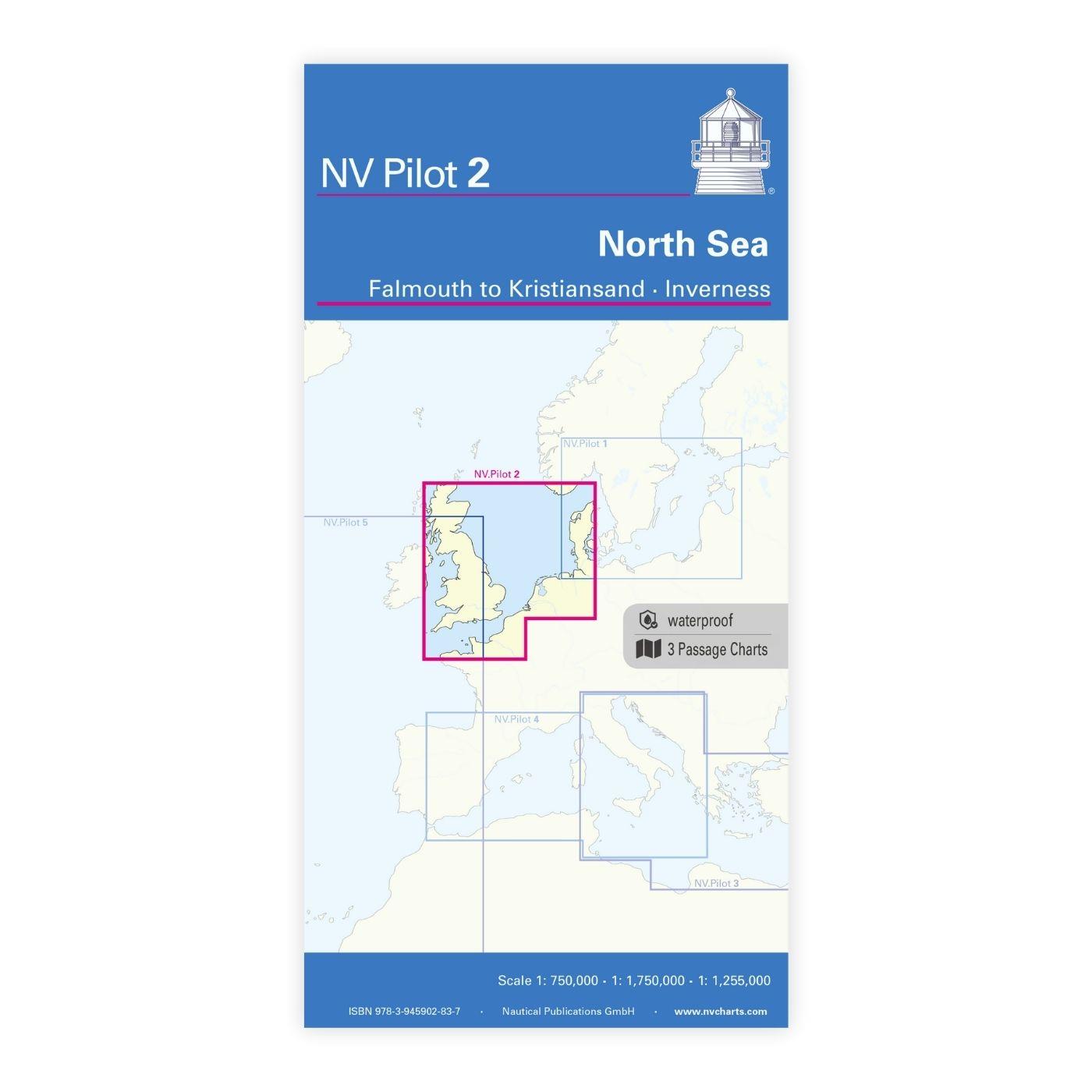
NV Charts Pilot 2, North Sea - Falmouth to Kristiansand - Inverness
NV Charts Pilot 2, North Sea - Falmouth to Kristiansand - InvernessThe Pilot 2 from NV Charts is the planning chart that is needed for the North Sea. The west coast of Denmark, the German North Sea an

€24.99*
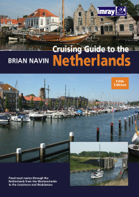
Cruising Guide to the Netherlands
Delfzijl to Breskens. Detailed cruising guide to the coast of the Netherlands.The book consists of 3 parts. General the South and the Northern part and is complemented by an introductory chapter with

€39.80*

Products near this article

Products near this article

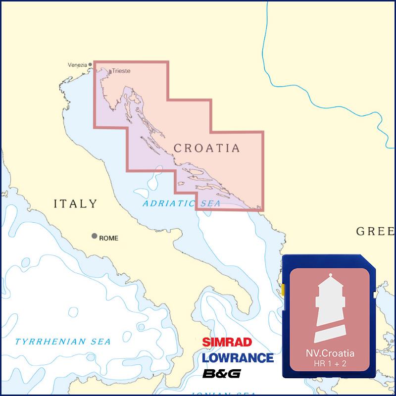
NV Kroatien Plotterseekarten
Maps & Port plans of the HR 1 and HR seriesThe plotter chip Croatia contains the digital nautical charts of the popular NV Charts chart sets for the Adriatic Sea. The area in the Me

€99.99*
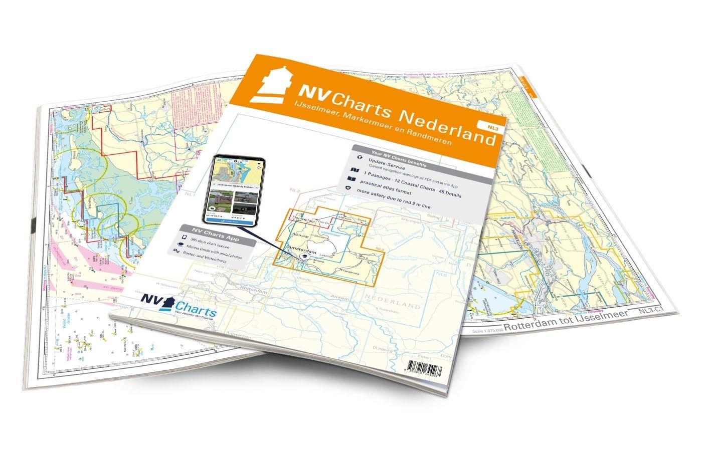
NV Charts Nederland NL3 - IJsselmeer & Randmeeren
For a trip through the popular sailing area of the IJsselmeer is the NL3 the right choice. Once you have passed one of the lock gates, nothing stands in the way of an eventful trip. The IJsselmmeer do

Variants from €51.99*
€64.99*
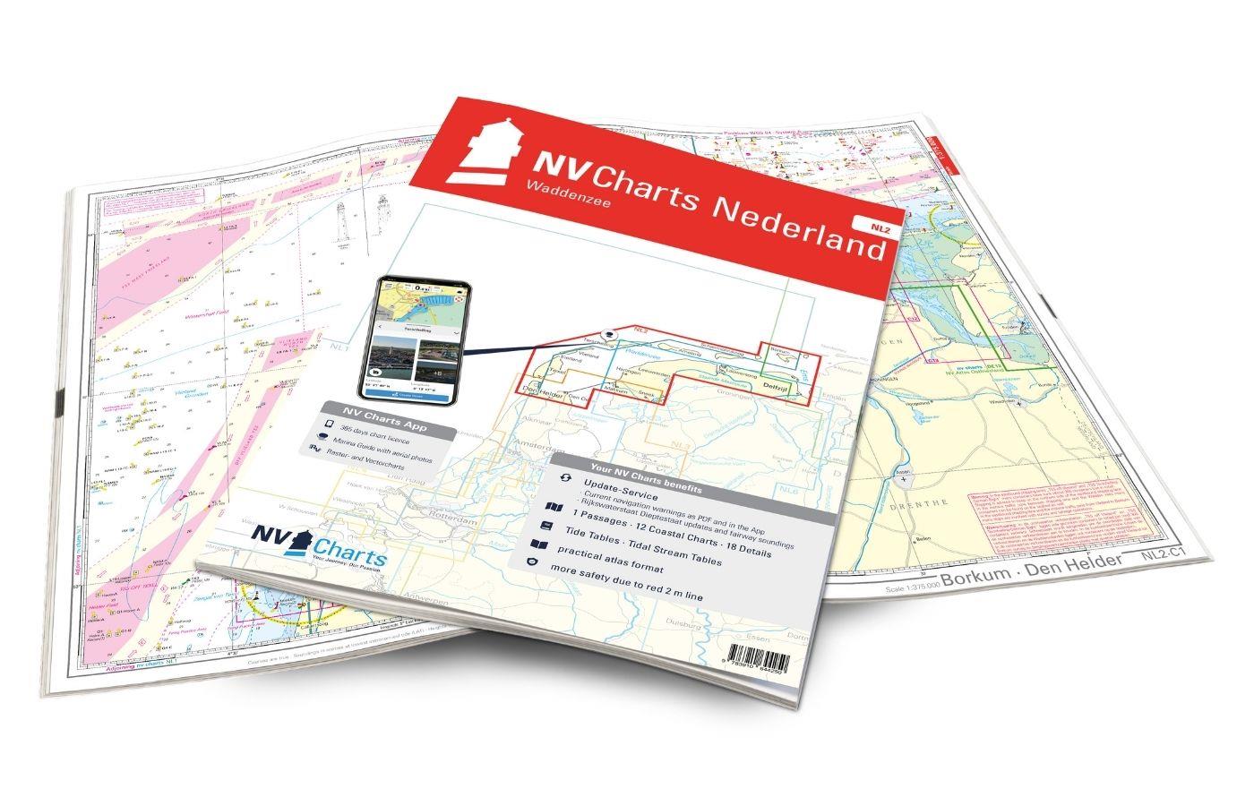
NV Charts Nederland NL2 - Waddenzee
The NV Atlas NL2 is the ideal chart to explore the Waddenzee region.The chart series, specially designed for recreational boating, contains the nautical charts in various sizes, as well as all harbor

Variants from €58.49*
€64.99*
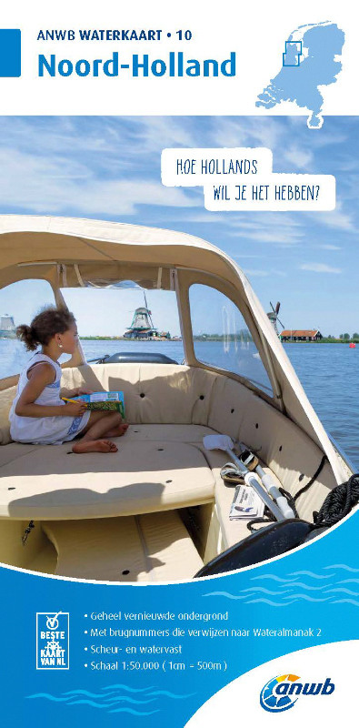
ANWB Waterkaart 10 - Noord-Holland
Netherlands inland map Noord-HollandThis map shows the northwestern province of Noord-Holland of the Netherlands. The elongated peninsula is one of the most diverse provinces. This nautical map takes

€17.99*
Cruising Guide to the Netherlands
Delfzijl to Breskens. Detailed cruising guide to the coast of the Netherlands.The book consists of 3 parts. General the South and the Northern part and is complemented by an introductory chapter with

€39.80*
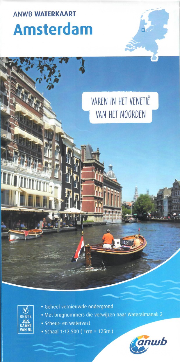
ANWB Waterkaart Amsterdam
Inland map for AmsterdamAmserterdam - the capital of the Netherlands captivates thousands and thousands of tourists every year. The city has something to offer for everyone and is well suited for a st

€12.99*
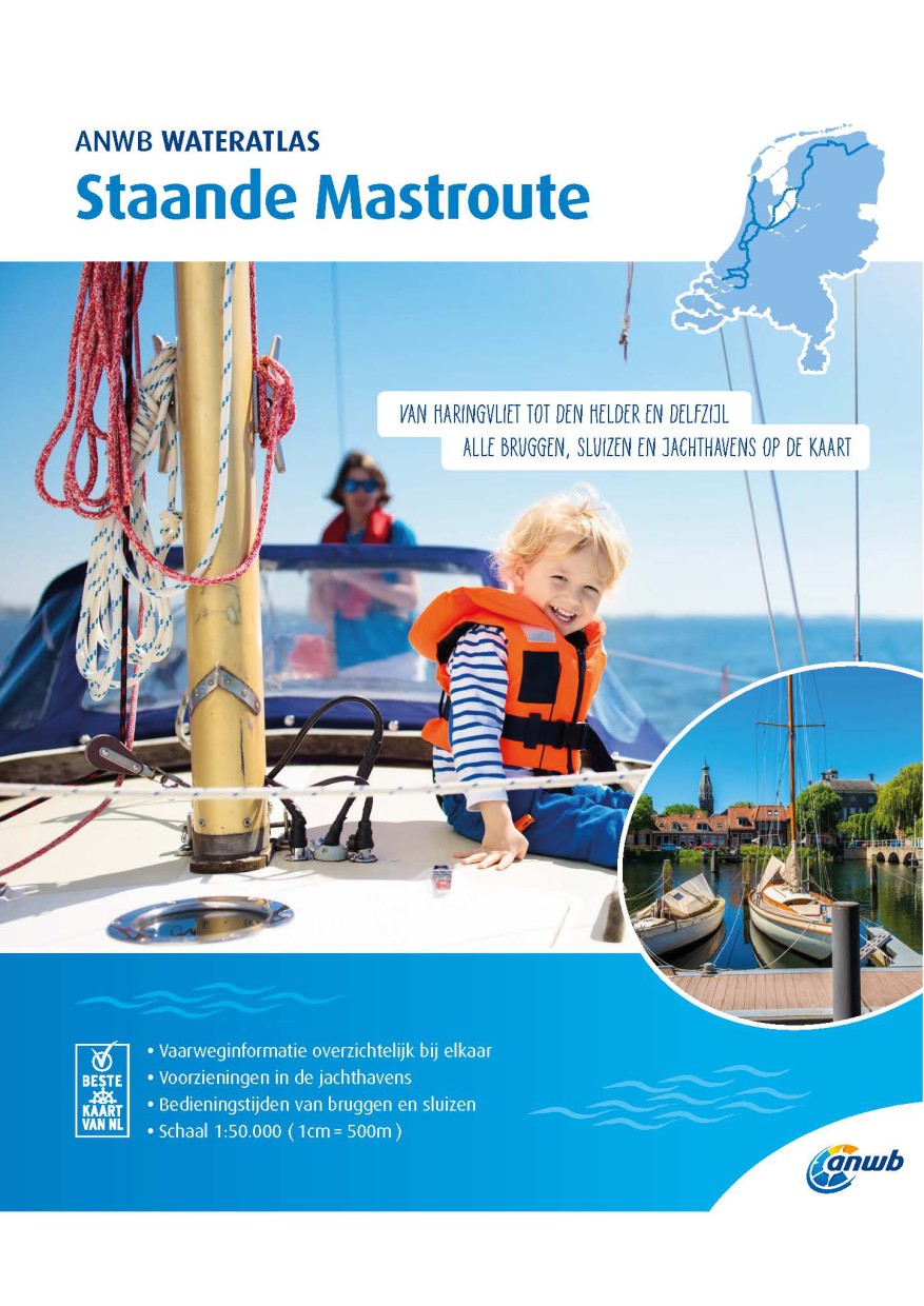
ANWB Staande Mastroute
ANWB Wateratlas Stande Mastroute(Softcover approx. 295x245cm) Haringvliet/Eems-Dollard. Includes the inland route to Den Helder.The standing mast route is the alternative to the North Sea route for No

€21.99*
NV Charts App - Netherlands
NV Charts App - Netherlands[nvtext_abo_app_iap]This product can only be used in the NV Charts app, it is not compatible with other navigation programs.

€49.90*
NL 1810
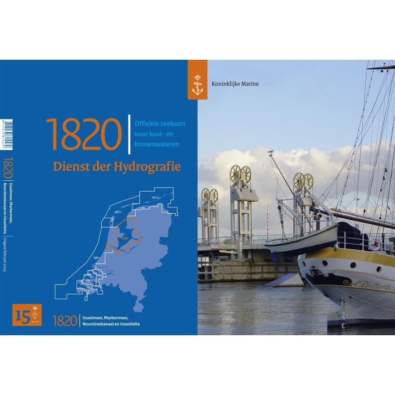
NL 1820 Ijsselmeer met Randmeren en Noordzeekanaal.The IJsselmeer is probably the most popular Dutch sailing area. It offers a variety of nice harbours and towns so that a whole trip can easily be spe

€36.50*
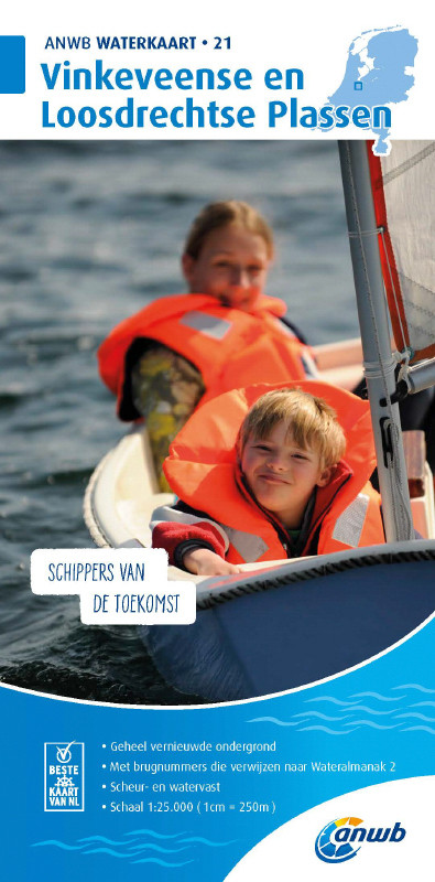
ANWB Waterkaart 21 - Vinkeveense en Loosdrechtse Plassen
Netherlands inland map for Vinkeveense en Loosdrechtse PlassenThis region once characterised by peat extraction is now the destination of water sports enthusiasts from all over Europe.Folding map for

€17.99*
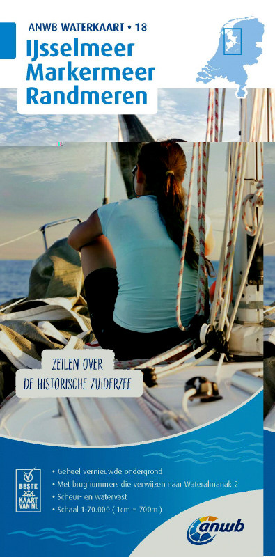
ANWB Waterkaart 18 - Ijsselmeer-Markermeer / Randmeeren
Netherlands inland map IJsselmeer Markermeer RandmerenThe north-eastern province of Drenthe is known for its semi-natural national parks and green landscapes through which navigable waterways run.Fold

€17.99*

Reviews

0 of 0 reviews

Leave a review!

Share your experiences with other customers.